Moorthwaite Lough

Lake, Pool, Pond, Freshwater Marsh in Cumberland Allerdale

England

Moorthwaite Lough

Old Milestone by the A595 at Jenkin Cross Metal plate attached to stone post by the A595, in parish of WESTWARD (ALLERDALE District), 50m West of Jenkin Farm, high grass in verge, on North side of road. Carlisle red stone and curved plate, erected by the Cockermouth & Carlisle turnpike trust in the 19th century. 

Inscription reads:-
CARLISLE
9 MILES
COCKERMOUTH
16½ MILES 
Carved benchmark.

Milestone Society National ID: CU_CLCM09
Old Milestone by the A595 at Jenkin Cross Credit: Barbara Todd

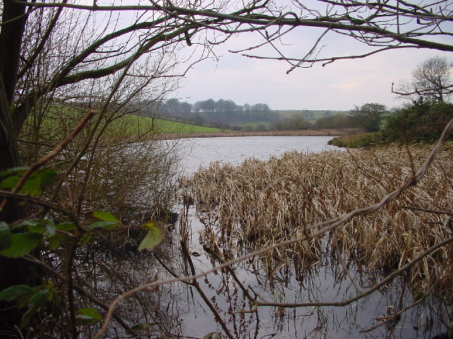
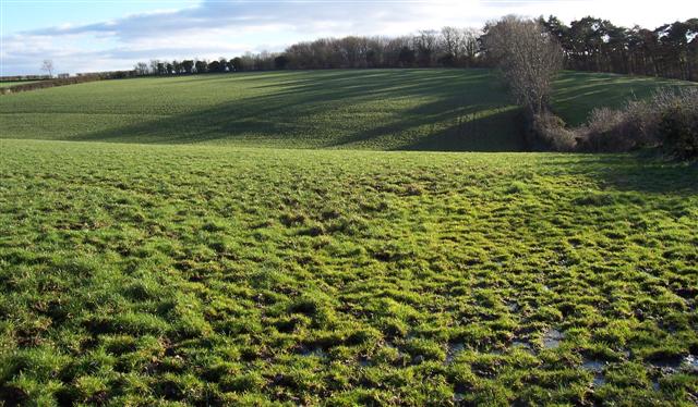
Moorthwaite Lough, located in Cumberland, is a picturesque freshwater marsh encompassing an area of approximately 5 hectares. This body of water can be categorized as a lough, which is a term commonly used in Ireland and Scotland to describe a small lake or pond. The lough is nestled within a serene landscape, surrounded by rolling hills and dense vegetation, providing a tranquil setting for visitors to enjoy.

The lough is fed by various small streams and springs that flow into its basin, ensuring a constant supply of freshwater. The water within Moorthwaite Lough is clear and clean, supporting a diverse ecosystem of aquatic plants and animals. The marshy edges of the lough are adorned with reeds, rushes, and other wetland vegetation, providing a habitat for a wide range of birds, insects, and small mammals.

Visitors to Moorthwaite Lough can explore the area by walking along the well-maintained footpaths that surround the lough, offering panoramic views of the water and its surrounding landscape. The lough is also a popular spot for fishing enthusiasts, as it is home to a variety of fish species, including trout and perch.

Overall, Moorthwaite Lough in Cumberland is a haven for nature lovers, offering a diverse and thriving ecosystem within a stunning natural setting. Whether it is for birdwatching, fishing, or simply enjoying the tranquility of the surroundings, this freshwater marsh provides a delightful experience for visitors of all ages.

If you have any feedback on the listing, please let us know in the comments section below.

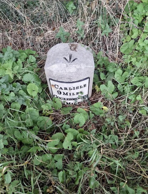
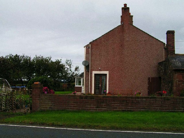
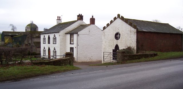
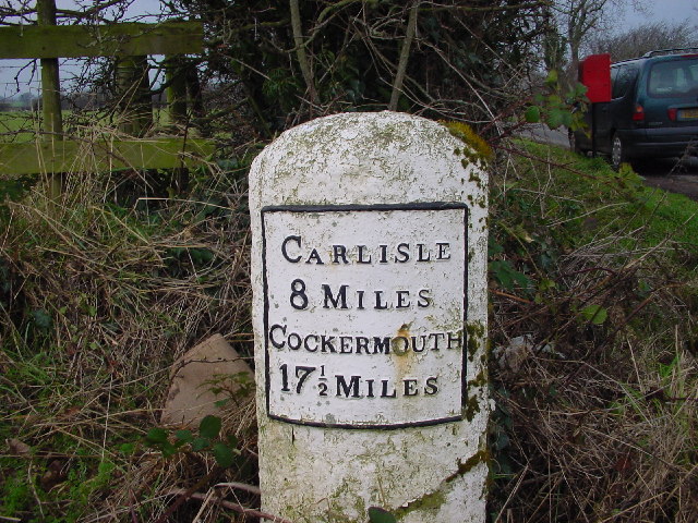
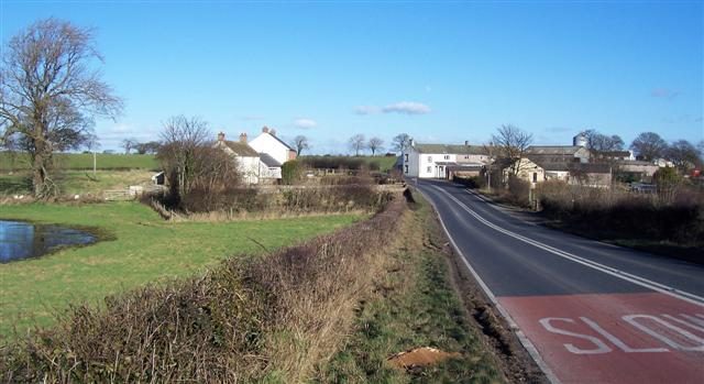
Moorthwaite Lough Images

Images are sourced within 2km of 54.826716/-3.1018218 or Grid Reference NY2948. Thanks to Geograph Open Source API. All images are credited.

Old Milestone by the A595 at Jenkin Cross Metal plate attached to stone post by the A595, in parish of WESTWARD (ALLERDALE District), 50m West of Jenkin Farm, high grass in verge, on North side of road. Carlisle red stone and curved plate, erected by the Cockermouth & Carlisle turnpike trust in the 19th century. 

Inscription reads:-
CARLISLE
9 MILES
COCKERMOUTH
16½ MILES 
Carved benchmark.

Milestone Society National ID: CU_CLCM09
Old Milestone by the A595 at Jenkin Cross
Metal plate attached to stone post by the A595, in parish of WESTWARD (ALLERDALE District), 50m West of Jenkin Farm, high grass in verge, on North side of road. Carlisle red stone and curved plate, erected by the Cockermouth & Carlisle turnpike trust in the 19th century. Inscription reads:- CARLISLE 9 MILES COCKERMOUTH 16½ MILES Carved benchmark. Milestone Society National ID: CU_CLCM09
Forest Hall Farm This farm is immediately next to the main A596 which links Cockermouth and west Cumbria to Carlisle.
Forest Hall Farm
This farm is immediately next to the main A596 which links Cockermouth and west Cumbria to Carlisle.
Jenkin's Cross Farm. The round feature in the gable end has the placename around it but I have not found any history behind this name yet.
Jenkin's Cross Farm.
The round feature in the gable end has the placename around it but I have not found any history behind this name yet.
Crofton Lake A Popular fishing venue.
Crofton Lake
A Popular fishing venue.
Old Milestone on A595
Barn and Stable, Hollin Root The stable appears to be grafted onto the barn as a later addition.
Barn and Stable, Hollin Root
The stable appears to be grafted onto the barn as a later addition.
Moorthwaite Lough Artificially created by damming a stream, it was once far more extensive. Now it is little more than a pond.
Moorthwaite Lough
Artificially created by damming a stream, it was once far more extensive. Now it is little more than a pond.
Bars The narrow strip of Sandybrows Wood encloses this grazing field.
Bars
The narrow strip of Sandybrows Wood encloses this grazing field.
Farm Track to Spain Wood
Boston Beck and Lambing field. The sheep and lamb are a sure indicator that spring is on the way.
Boston Beck and Lambing field.
The sheep and lamb are a sure indicator that spring is on the way.
Stop Look Listen. the train is heading right to left from carlisle to Barrow in furness and it did not stop look and listen but it tooted its tooter a fair way off the pedestrian crossing as a warning of its approach.
Stop Look Listen.
the train is heading right to left from carlisle to Barrow in furness and it did not stop look and listen but it tooted its tooter a fair way off the pedestrian crossing as a warning of its approach.
Kirkland Hall Farm. Can't beat classic black and white for a smart appearance.
Kirkland Hall Farm.
Can't beat classic black and white for a smart appearance.
Greenwood House. Note the magnificent stag on the gatepost. the area being famous for the numbers of deer.
Greenwood House.
Note the magnificent stag on the gatepost. the area being famous for the numbers of deer.
Kirkland Hall Farm.
Kirkland Hall Farm.
Why did nature give me a white behind. To allow photographers to notice of course.
Why did nature give me a white behind.
To allow photographers to notice of course.
Folly. The current owners have had suggestions from a toilet (it is above a small watercourse) to a hunting aid like a hide. Quite a strange building so close to the house as well.
Folly.
The current owners have had suggestions from a toilet (it is above a small watercourse) to a hunting aid like a hide. Quite a strange building so close to the house as well.
Wet fields and woodland The winter sun just is not powerful enough to dry this lot up.
Wet fields and woodland
The winter sun just is not powerful enough to dry this lot up.
Green and greener fields. This field is just waiting for spring and has another twist on "Spring Greens".
Green and greener fields.
This field is just waiting for spring and has another twist on "Spring Greens".
Show me another place!

Moorthwaite Lough is located at Grid Ref: NY2948 (Lat: 54.826716, Lng: -3.1018218)

Administrative County: Cumbria

District: Allerdale

Police Authority: Cumbria

What 3 Words

///dolphin.escalated.delay. Near Wigton, Cumbria

Nearby Locations

Moorthwaite Lough

Related Wikis

Micklethwaite, Cumbria

Micklethwaite is a hamlet in Cumbria, England, close to the Lake District. It is situated to the north east of Wigton. == References == == External... ==

Crofton, Cumbria

Crofton is an area of Thursby, Allerdale district of Cumbria, England. It is 6.4 miles (10.3 km) west-southwest of Carlisle. In 1870-72 the township had...

Brackenthwaite, Westward

Brackenthwaite is a settlement situated some 3 miles (4.8 km) south-east of the town of Wigton in the English county of Cumbria. It should not be confused...

Curthwaite railway station

Curthwaite was a railway station on the Maryport and Carlisle Railway (M&CR) serving West Curthwaite and Thursby in Cumbria. The station was opened by...

The Nelson Thomlinson School

The Nelson Thomlinson School is a comprehensive secondary school located in the market town of Wigton, Cumbria, England. The school's motto is the Latin...

Wigton

Wigton is a market town in Cumberland, Cumbria, England. It lies just outside the Lake District. Wigton is at the centre of the Solway Plain, between the...

Thursby

Thursby is a village in the Cumberland Council district of Cumbria, England. It is near to the city of Carlisle in North West England. Thursby was historically...

Wigton Rural District

Wigton was a rural district in Cumberland, England from 1894 to 1974. It was created by the Local Government Act 1894 based on Wigton rural sanitary district...

Nearby Amenities

Located within 500m of 54.826716,-3.1018218
Barrier: stile
Lat/Long: 54.8297616/-3.1009227
Power: pole
Lat/Long: 54.8287815/-3.1081954
Power: pole
Lat/Long: 54.8290531/-3.1061441
Power: pole
Lat/Long: 54.8293149/-3.104379
Power: pole
Lat/Long: 54.8295542/-3.1027487
Power: pole
Lat/Long: 54.8298395/-3.1010959
Power: pole
Lat/Long: 54.8300689/-3.0996731
Power: pole
Lat/Long: 54.8303114/-3.098169
Power: pole
Lat/Long: 54.8305272/-3.1047467
Power: pole
Lat/Long: 54.8262785/-3.0996437
Power: pole
Lat/Long: 54.827195/-3.0996381
Power: pole
Lat/Long: 54.8291274/-3.0996479
The data included in this document is from www.openstreetmap.org. The data is made available under ODbL.

Have you been to Moorthwaite Lough?

Leave your review of Moorthwaite Lough below (or comments, questions and feedback).