Blea Tarn

Lake, Pool, Pond, Freshwater Marsh in Westmorland South Lakeland

England

Blea Tarn

The Bridge over Wrynose Beck
The Bridge over Wrynose Beck Credit: Andy Beecroft

Blea Tarn, located in Westmorland, England, is a stunning freshwater lake nestled amidst the beautiful Lake District National Park. Situated at an elevation of 200 meters, this picturesque tarn covers an area of approximately 7.5 acres and boasts a maximum depth of around 7 meters.

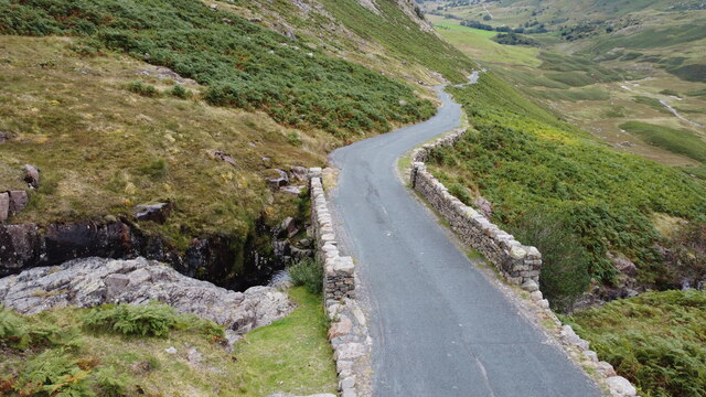
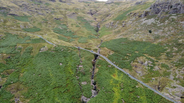
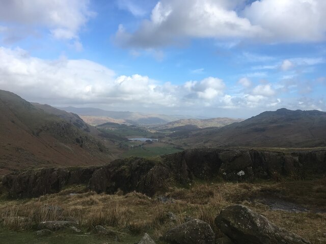
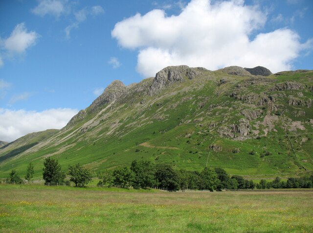
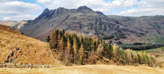
Surrounded by rolling hills and verdant meadows, Blea Tarn is a popular destination for both locals and tourists seeking tranquility and natural beauty. The lake's crystal-clear waters are fed by numerous small streams and springs that cascade down from the surrounding fells, ensuring its pristine condition.

Blea Tarn is renowned for its diverse flora and fauna. The surrounding marshland is home to a variety of water-loving plants, including water lilies, reeds, and rushes, providing a vibrant splash of color throughout the seasons. These wetland habitats also attract a wide array of bird species, such as ducks, geese, and swans, making it a haven for birdwatchers.

The tranquil atmosphere and breathtaking views make Blea Tarn a paradise for outdoor enthusiasts. The tarn is a popular spot for fishing, with anglers often seeking its plentiful stocks of brown trout. Additionally, the area offers various walking trails, allowing visitors to explore the surrounding countryside and take in the panoramic vistas of the Lake District.

Whether it be a leisurely stroll around the lake, a peaceful picnic by the shore, or simply taking in the awe-inspiring scenery, Blea Tarn offers a serene and idyllic escape for nature lovers and seekers of tranquility.

If you have any feedback on the listing, please let us know in the comments section below.

Blea Tarn Images

Images are sourced within 2km of 54.430285/-3.0912478 or Grid Reference NY2904. Thanks to Geograph Open Source API. All images are credited.

The Bridge over Wrynose Beck
Wrynose Beck and the Road Bridge over it
Wrynose Pass The valley looking down towards Greenburn Beck
Wrynose Pass
The valley looking down towards Greenburn Beck
The Langdale Pikes
The Langdale Pikes
Ordnance Survey Cut Mark This OS cut mark can be found on a rock SE side of the road. It marks a point 358.439m above mean sea level.
Ordnance Survey Cut Mark
This OS cut mark can be found on a rock SE side of the road. It marks a point 358.439m above mean sea level.
Ordnance Survey Rivet This OS rivet can be found on a rock NW side of the road. It marks a point 379.116m above mean sea level.
Ordnance Survey Rivet
This OS rivet can be found on a rock NW side of the road. It marks a point 379.116m above mean sea level.
Ordnance Survey Rivet This OS rivet can be found on a rock NW side of the road. It marks a point 339.017m above mean sea level.
Ordnance Survey Rivet
This OS rivet can be found on a rock NW side of the road. It marks a point 339.017m above mean sea level.
Ordnance Survey Rivet This OS rivet can be found on a rock NW side of the road. It marks a point 317.215m above mean sea level.
Ordnance Survey Rivet
This OS rivet can be found on a rock NW side of the road. It marks a point 317.215m above mean sea level.
Ordnance Survey Pivot This OS pivot can be found on a rock NW side of the road.
Ordnance Survey Pivot
This OS pivot can be found on a rock NW side of the road.
Ordnance Survey Rivet This OS rivet can be found on a rock north side of the road. It marks a point 299.762m above mean sea level.
Ordnance Survey Rivet
This OS rivet can be found on a rock north side of the road. It marks a point 299.762m above mean sea level.
Ordnance Survey Rivet This OS rivet can be found on the retaining wall SE side of the road. It marks a point 282.915m above mean sea level.
Ordnance Survey Rivet
This OS rivet can be found on the retaining wall SE side of the road. It marks a point 282.915m above mean sea level.
Ordnance Survey Rivet This OS rivet can be found on a rock north side of the road. It marks a point 271.068m above mean sea level.
Ordnance Survey Rivet
This OS rivet can be found on a rock north side of the road. It marks a point 271.068m above mean sea level.
Ordnance Survey Rivet This OS rivet can be found on a rock south side of the road. It marks a point 232.669m above mean sea level.
Ordnance Survey Rivet
This OS rivet can be found on a rock south side of the road. It marks a point 232.669m above mean sea level.
Ordnance Survey Rivet This OS rivet can be found on a rock north side of the road. It marks a point 200.357m above mean sea level.
Ordnance Survey Rivet
This OS rivet can be found on a rock north side of the road. It marks a point 200.357m above mean sea level.
Ordnance Survey Rivet This OS rivet can be found on a rock north side of the road. It marks a point 186.041m above mean sea level.
Ordnance Survey Rivet
This OS rivet can be found on a rock north side of the road. It marks a point 186.041m above mean sea level.
Ordnance Survey Rivet This OS rivet can be found on a rock south side of the road. It marks a point 167.817m above mean sea level.
Ordnance Survey Rivet
This OS rivet can be found on a rock south side of the road. It marks a point 167.817m above mean sea level.
Ordnance Survey Cut Mark This OS cut mark can be found on a rock south side of the road. It marks a point 149.959m above mean sea level.
Ordnance Survey Cut Mark
This OS cut mark can be found on a rock south side of the road. It marks a point 149.959m above mean sea level.
Plantation on Kettle Crag
Show me another place!

Blea Tarn is located at Grid Ref: NY2904 (Lat: 54.430285, Lng: -3.0912478)

Administrative County: Cumbria

District: South Lakeland

Police Authority: Cumbria

What 3 Words

///agreeing.informer.establish. Near Ambleside, Cumbria

Nearby Locations

Blea Tarn

Related Wikis

Lingmoor Fell

Lingmoor Fell is a fell in the English Lake District, situated eight kilometres (five miles) west of Ambleside. The fell reaches a height of 469 m (1,540...

Ting Mound

The Ting Mound or Thing Moot at Fellfoot Farm, Little Langdale, Cumbria, England is an Ancient Monument (a 'nationally important' archaeological site)...

Pike of Blisco

Pike of Blisco, or Pike o' Blisco, is a mountain in the Lake District in Cumbria, England. Located between the valleys of Great Langdale and Little Langdale...

River Brathay

The Brathay is a river of north-west England. Its name comes from Old Norse and means broad river. It rises at a point 1289 feet (393 m) above sea level...

Nearby Amenities

Located within 500m of 54.430285,-3.0912478
Barrier: cattle_grid
Lat/Long: 54.4290015/-3.0874395
Barrier: kissing_gate
Lat/Long: 54.4282664/-3.0924244
Bench
Lat/Long: 54.4287973/-3.0915041
Bench
Lat/Long: 54.42888/-3.0923678
Bench
Lat/Long: 54.4291967/-3.0924268
Ford: stepping_stones
Lat/Long: 54.4273734/-3.092679
Rakerigg
Place: locality
Lat/Long: 54.4309969/-3.0981859
The data included in this document is from www.openstreetmap.org. The data is made available under ODbL.

Have you been to Blea Tarn?

Leave your review of Blea Tarn below (or comments, questions and feedback).