Heathery Isle Pool
Lake, Pool, Pond, Freshwater Marsh in Banffshire
Scotland
Heathery Isle Pool
Heathery Isle Pool is a picturesque freshwater marsh situated in the county of Banffshire, Scotland. Nestled amidst the stunning landscapes of the region, the pool is a natural gem that attracts nature enthusiasts from far and wide.
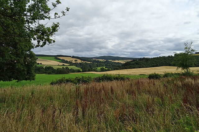
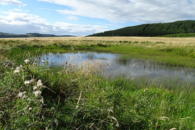
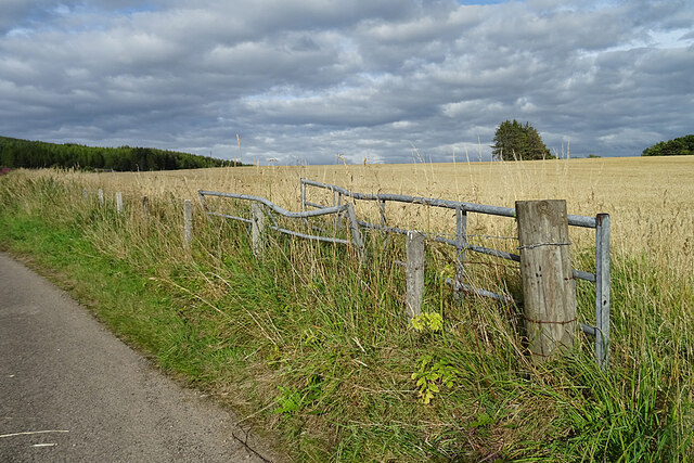
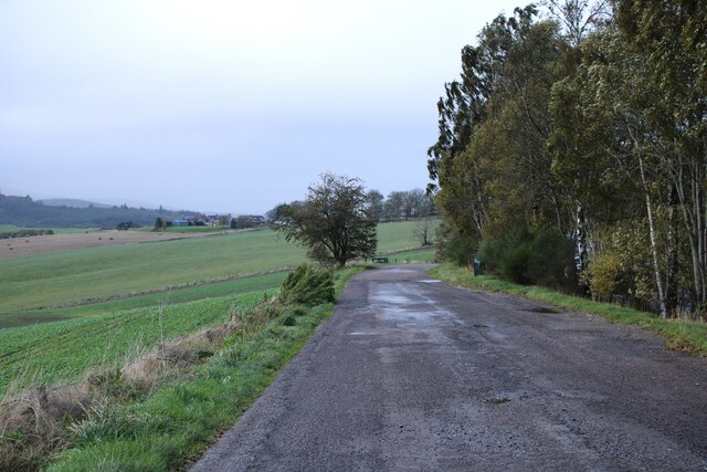
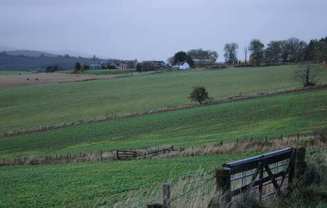
Covering an area of approximately 10 acres, Heathery Isle Pool is a serene and tranquil spot. It is located on the eastern edge of the region, near the village of Portsoy. The pool is known for its crystal-clear water, which is fed by natural springs and rainfall runoff from the surrounding hills.
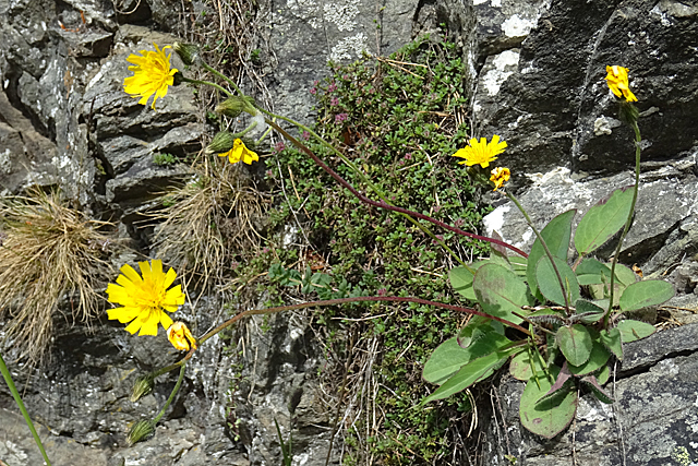
Surrounded by lush vegetation, the pool is home to a diverse range of flora and fauna. The marshy terrain supports a variety of aquatic plants, including water lilies, reeds, and cattails. These plants provide shelter and food for numerous species of birds, amphibians, and insects.
Birdwatchers are particularly drawn to Heathery Isle Pool due to its rich birdlife. Visitors can spot a wide array of avian species, including ducks, geese, swans, herons, and even the occasional osprey. The pool also serves as a breeding ground for many waterfowl during the spring and summer months.
For those seeking outdoor activities, Heathery Isle Pool offers opportunities for fishing and boating. Anglers can try their luck catching brown trout, while boating enthusiasts can enjoy a peaceful glide across the calm waters.
Overall, Heathery Isle Pool is a haven of natural beauty and biodiversity. Its pristine surroundings and abundant wildlife make it a must-visit destination for nature lovers and those seeking a peaceful retreat in the heart of Banffshire.
If you have any feedback on the listing, please let us know in the comments section below.
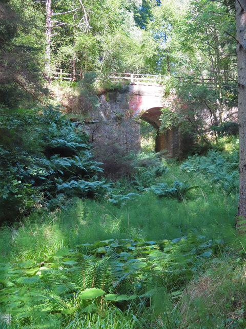
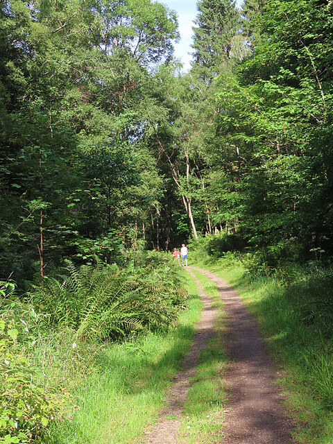
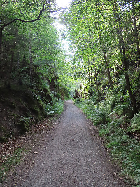
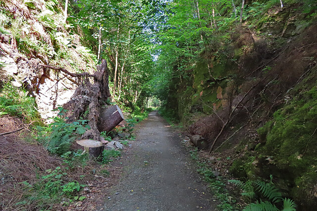
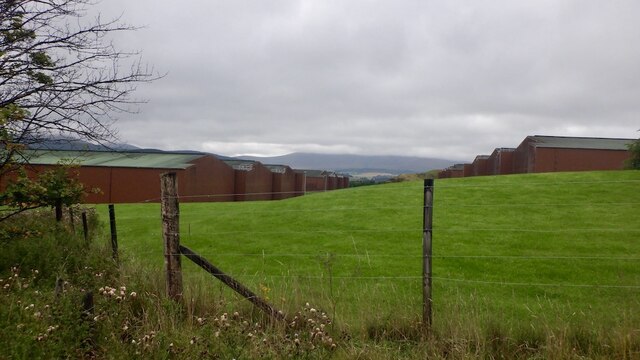
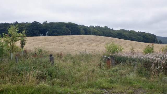
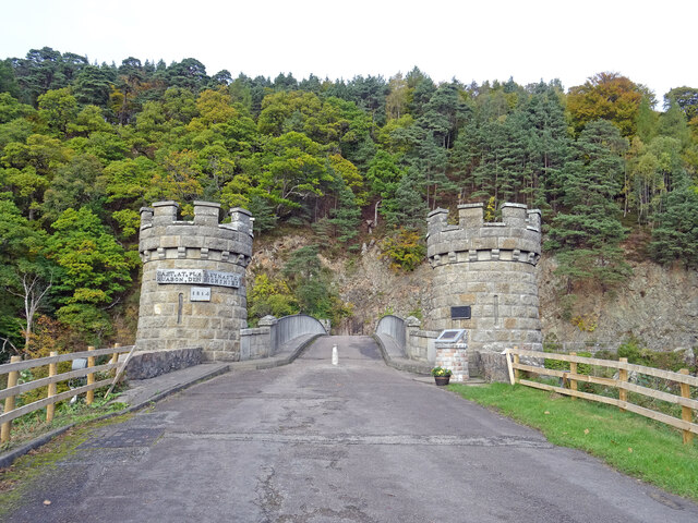
Heathery Isle Pool Images
Images are sourced within 2km of 57.496397/-3.1822483 or Grid Reference NJ2945. Thanks to Geograph Open Source API. All images are credited.
Heathery Isle Pool is located at Grid Ref: NJ2945 (Lat: 57.496397, Lng: -3.1822483)
Unitary Authority: Moray
Police Authority: North East
What 3 Words
///wolves.major.evidence. Near Rothes, Moray
Nearby Locations
Related Wikis

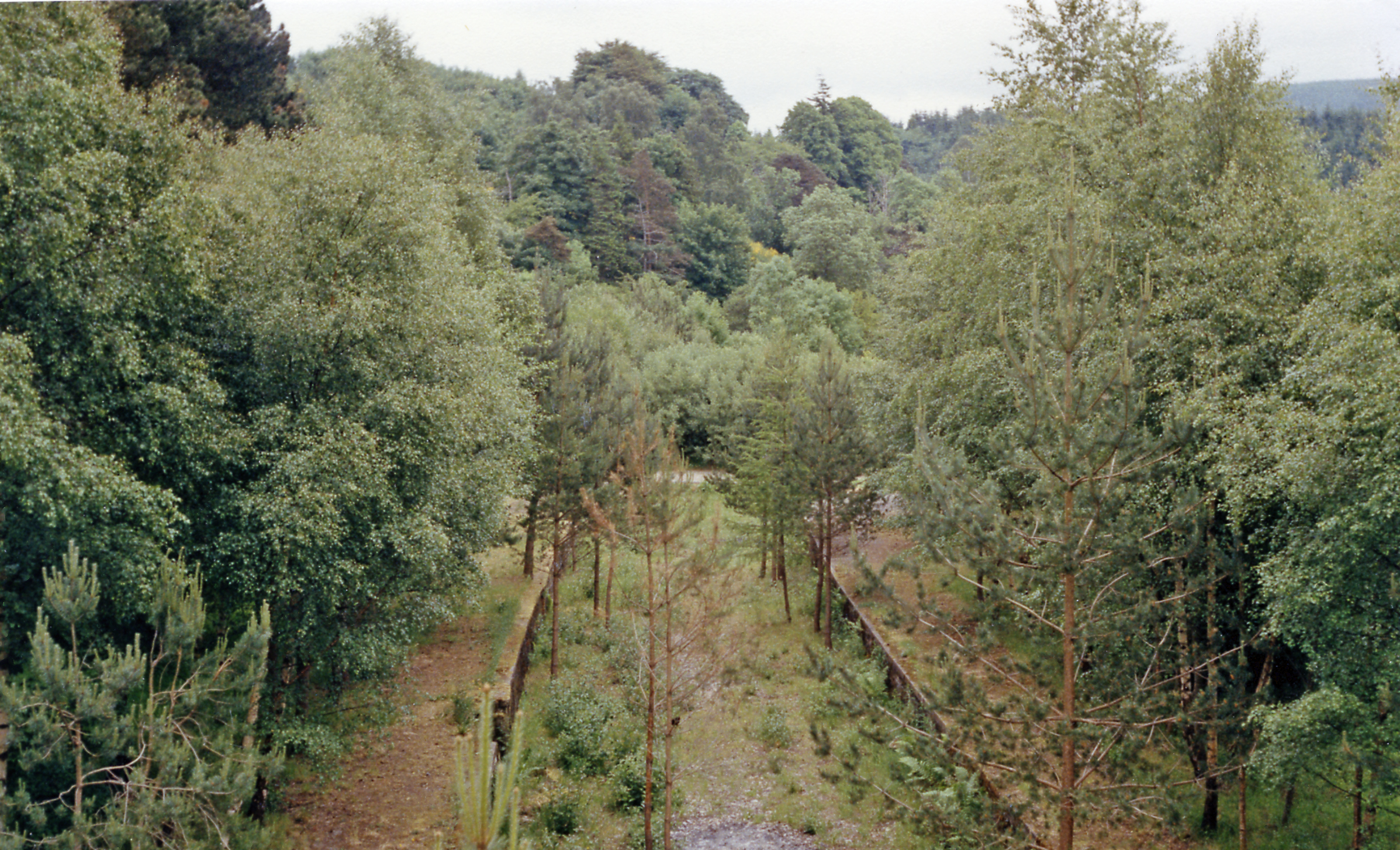
Dandaleith railway station
Dandaleith railway station served the village of Craigellachie, Moray, Scotland from 1858 to 1965 on the Morayshire Railway. == History == The station...
Craigellachie railway station
Craigellachie railway station served the village of Craigellachie, Moray, Scotland from 1863 to 1968 on the Morayshire Railway and the Strathspey Railway...

Craigellachie, Moray
Craigellachie (Scottish Gaelic: Creag Eileachaidh) is a small village in Moray, Scotland, at the confluence of the River Spey and River Fiddich (whose...

Dandaleith stone
The Dandaleith stone is a Class I Pictish stone from Craigellachie, Scotland. It was discovered in May 2013 during ploughing. == Location == The exact...

Craigellachie distillery
Craigellachie distillery is a single malt Scotch whisky distillery in the village of Craigellachie at the centre of the Speyside whisky producing area...

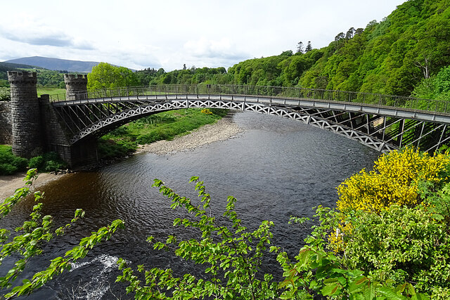
Craigellachie Bridge
Craigellachie Bridge is a cast iron arch bridge across the River Spey at Craigellachie, near to the village of Aberlour in Moray, Scotland. It was designed...

Arndilly House
Arndilly House is a 1770 house in Banffshire, Scotland, in the parish of Boharm. It lies between the River Spey and Ben Aigan. It was remodelled in both...
Arndilly
Arndilly is a place and former parish in Moray, Scotland. The parish was united with the parish of Boharm in 1618. The name was previously Ardintullie...
Nearby Amenities
Located within 500m of 57.496397,-3.1822483Have you been to Heathery Isle Pool?
Leave your review of Heathery Isle Pool below (or comments, questions and feedback).