Ledyatt Loch
Lake, Pool, Pond, Freshwater Marsh in Angus
Scotland
Ledyatt Loch
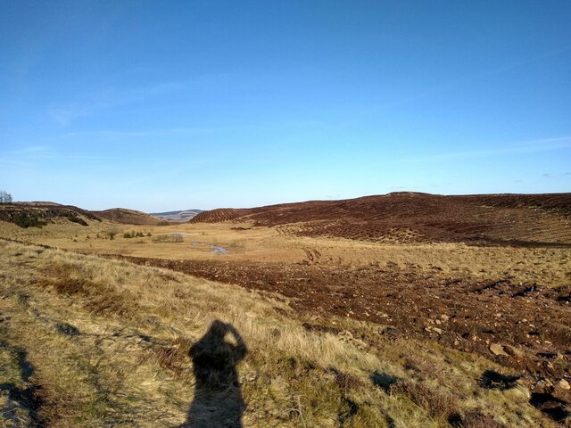
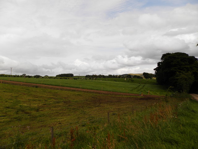
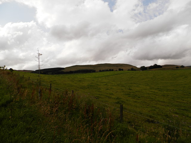
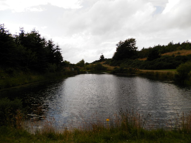
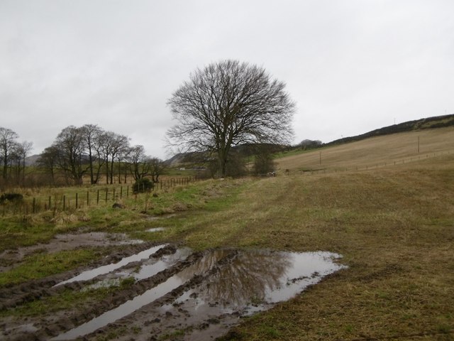
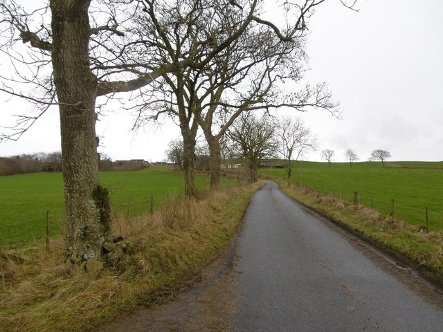
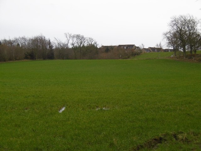
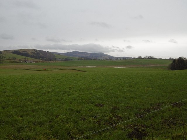
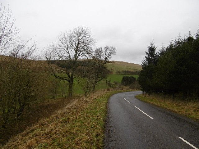
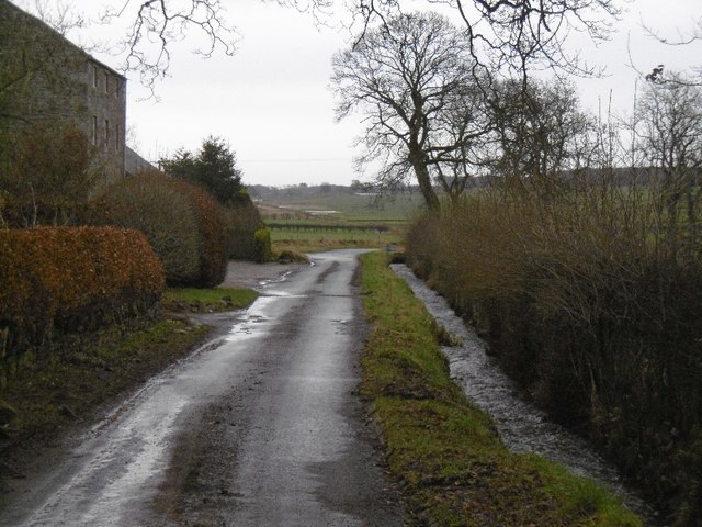
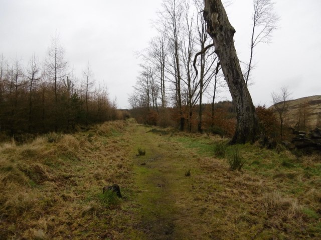
Ledyatt Loch is a freshwater loch located in the county of Angus, Scotland. Situated near the village of Liff, it covers an area of around 10 acres and is surrounded by picturesque countryside. The loch is privately owned and is known for its natural beauty and diverse wildlife.
Ledyatt Loch is a haven for birdwatchers and nature enthusiasts, as it attracts a wide range of bird species throughout the year. Visitors may spot various waterfowl such as swans, ducks, and geese, as well as waders like herons and egrets. The surrounding reed beds provide an ideal habitat for numerous marsh birds, including the elusive bittern.
The loch is also home to a variety of fish species, making it a popular spot for anglers. Trout, pike, and perch can be found in the waters, offering a challenge for those looking to cast their lines.
The area surrounding Ledyatt Loch is well-maintained, with paths and picnic areas available for visitors to enjoy. The tranquil atmosphere and stunning views make it an ideal location for a leisurely stroll or a peaceful picnic by the water's edge.
Ledyatt Loch is not only a place of natural beauty but also holds historical significance. It was once a site for water-powered mills in the 19th century, providing an insight into the region's industrial past.
Overall, Ledyatt Loch offers a serene escape from the bustling city life, allowing visitors to immerse themselves in the tranquility of nature and observe a diverse range of wildlife.
If you have any feedback on the listing, please let us know in the comments section below.
Ledyatt Loch Images
Images are sourced within 2km of 56.50649/-3.1647252 or Grid Reference NO2835. Thanks to Geograph Open Source API. All images are credited.


Ledyatt Loch is located at Grid Ref: NO2835 (Lat: 56.50649, Lng: -3.1647252)
Unitary Authority: Angus
Police Authority: Tayside
What 3 Words
///conductor.courier.remotes. Near Muirhead, Angus
Nearby Locations
Related Wikis

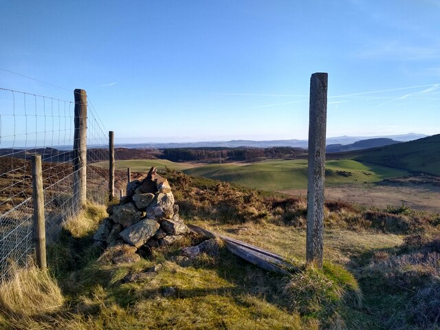
Sidlaws
The Sidlaws are a range of hills in the counties of Perthshire and Angus in Scotland that extend for 30 miles (45 km) from Kinnoull Hill, near Perth, northeast...

Lundie
Lundie is a parish and small settlement in Angus, Scotland, 10 miles (16 km) northwest of Dundee, situated at the head of the Dighty valley in the Sidlaws...
Lundie Kirk
Lundie Kirk was the parish church of Lundie, Angus, in Scotland from the 12th century until 2017. The church was constructed in Romanesque style in the...

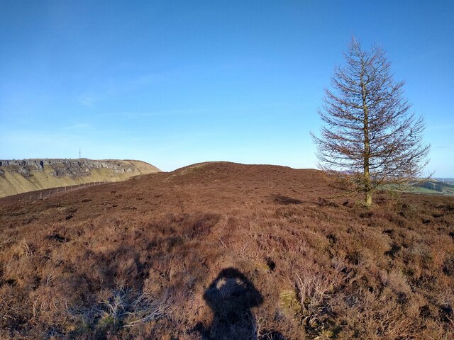
Lundie Craigs
Lundie Craigs/Westerkeith Hill is one of the hills of the Sidlaw range in South East Perthshire.Lundie Craigs/Westerkeith Hill is located near Coupar Angus...

Pitlyal Loch
Pitlyal Loch also known as Round Loch is a small lochan in Sidlaw Hills in Angus. It is located southeast of Long Loch and is almost directly south of...

Northballo Hill
Northballo Hill is one of the hills of the Sidlaw range in South East Perthshire, and is located near Coupar Angus. It is popular with dog walkers and...

Long Loch (Angus)
Long Loch is a small lowland freshwater loch within the Sidlaw Hills in Angus. It is 1.8 miles south of the village of Newtyle, three miles east-south...

Pitcur
Pitcur is a hamlet at the eastern edge of Perth and Kinross, Scotland, about 2.5 miles (4.0 km) southeast of Coupar Angus.It is home to the ruined 16th...
Nearby Amenities
Located within 500m of 56.50649,-3.1647252Have you been to Ledyatt Loch?
Leave your review of Ledyatt Loch below (or comments, questions and feedback).