Boo Tarn

Lake, Pool, Pond, Freshwater Marsh in Lancashire South Lakeland

England

Boo Tarn

The Pudding Stone in Pudding Cove
The Pudding Stone in Pudding Cove Credit: shikari

Boo Tarn is a picturesque freshwater marsh located in the county of Lancashire, England. Nestled amidst the scenic beauty of the Lancashire countryside, this enchanting tarn offers a tranquil oasis for nature enthusiasts and visitors seeking a peaceful retreat.

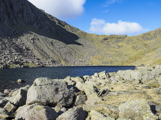
Covering an area of approximately 2 acres, Boo Tarn is a small yet captivating body of water. It is classified as a tarn, which is a term typically used to describe a small mountain lake or pool. However, unlike its mountainous counterparts, Boo Tarn is situated in a low-lying area.

The tarn is surrounded by lush vegetation, including reeds, grasses, and various species of wildflowers. This diverse plant life provides a rich habitat for a variety of wildlife, making Boo Tarn an important ecological site. It is home to numerous bird species, such as the Eurasian teal, common snipe, and reed warbler, which can be observed in their natural habitat throughout the year.

The water in Boo Tarn is clear and pristine, owing to its freshwater source. It remains relatively shallow, with an average depth of around 3 feet, making it ideal for aquatic flora and fauna to thrive. The marshy surroundings of the tarn also contribute to the preservation of its water quality.

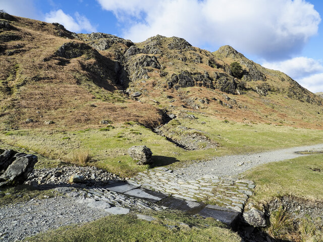
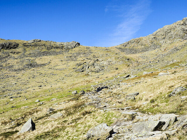
Visitors to Boo Tarn can enjoy peaceful walks along its shores, immersing themselves in the serene ambiance and observing the diverse flora and fauna. It is a haven for nature photographers and wildlife enthusiasts, offering ample opportunities to capture the beauty of the tarn and its inhabitants.

Overall, Boo Tarn stands as a charming freshwater marsh, providing a haven of tranquility and natural beauty in the heart of Lancashire.

If you have any feedback on the listing, please let us know in the comments section below.
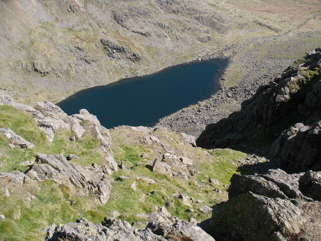
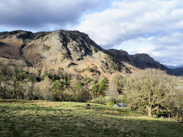
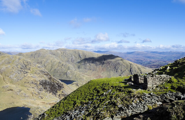
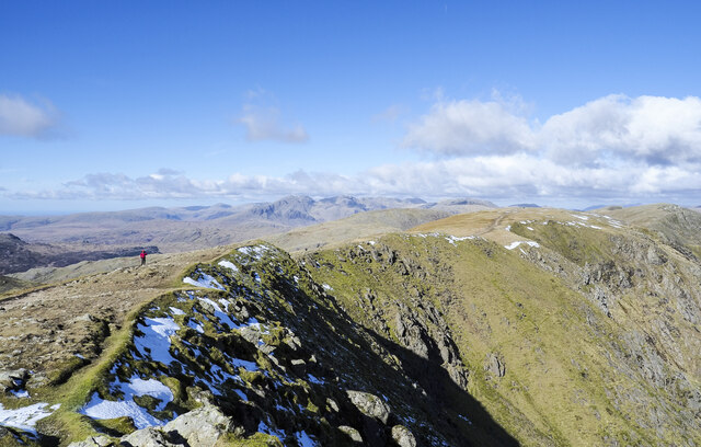
Boo Tarn Images

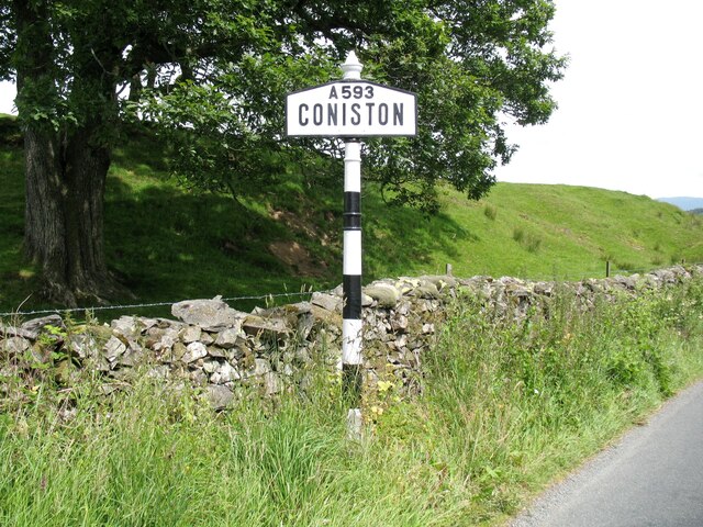
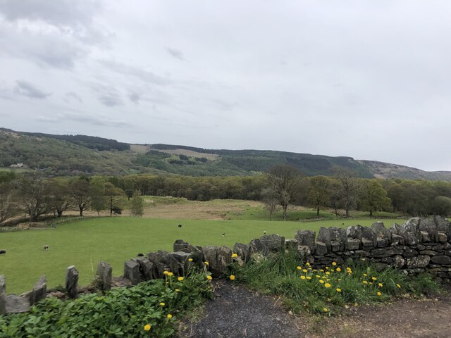
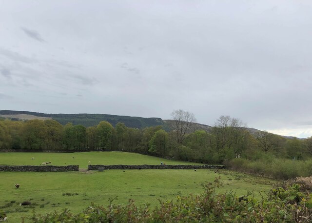
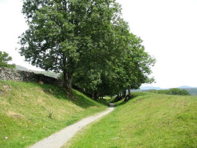
Images are sourced within 2km of 54.361675/-3.1059257 or Grid Reference SD2896. Thanks to Geograph Open Source API. All images are credited.

The Pudding Stone in Pudding Cove
Coniston village sign This road sign on the A593 was erected by Lancashire County Council, pre-dating the formation of Cumbria in 1974 which incorporated that part of Lancashire north of Morecambe Bay.
Located at Park Gate, the sign is unusually far from the village, being almost 1.6km (1 mile) south of the centre of Coniston.
Coniston village sign
This road sign on the A593 was erected by Lancashire County Council, pre-dating the formation of Cumbria in 1974 which incorporated that part of Lancashire north of Morecambe Bay. Located at Park Gate, the sign is unusually far from the village, being almost 1.6km (1 mile) south of the centre of Coniston.
Pasture south of Coniston Park coppice behind and Grizedale Forest on the hills
Pasture south of Coniston
Park coppice behind and Grizedale Forest on the hills
Grazing near Coniston Park Coppice
The Coniston Branch near Park Gate Now only used by walkers and sheep, this is the route of the former Furness Railway branch line from Foxfield to Coniston.
The last passenger service ran on 4 October 1958 with a final enthusiasts’ special train on the 27 August 1961.  The last freight train ran during the week ending 29 April 1962 and the track was lifted early in 1963.
The Coniston Branch near Park Gate
Now only used by walkers and sheep, this is the route of the former Furness Railway branch line from Foxfield to Coniston. The last passenger service ran on 4 October 1958 with a final enthusiasts’ special train on the 27 August 1961. The last freight train ran during the week ending 29 April 1962 and the track was lifted early in 1963.
Goat's Water from Dow Crag View down Easter Gully to Goat’s Water from near the summit of Dow Crag.
Goat's Water from Dow Crag
View down Easter Gully to Goat’s Water from near the summit of Dow Crag.
Roughly grassed field at Dixon Ground Dixon Ground is an area of land lying west of Coniston. The view here is from the publicly accessible part of the Walna Scar Road which has risen from the village.
The steep, broken slope beyond lies across Church Beck and rises ultimately to Wetherlam.
Roughly grassed field at Dixon Ground
Dixon Ground is an area of land lying west of Coniston. The view here is from the publicly accessible part of the Walna Scar Road which has risen from the village. The steep, broken slope beyond lies across Church Beck and rises ultimately to Wetherlam.
Irish Cottages, Coppermines Valley Irish Cottages in the valley of Church Beck is a terrace of houses above Coniston; two of them together form a climbing hut of the Yorkshire Mountaineering Club. The gravel flats through the centre of the image are where the Church Beck flows and winds.
Irish Cottages, Coppermines Valley
Irish Cottages in the valley of Church Beck is a terrace of houses above Coniston; two of them together form a climbing hut of the Yorkshire Mountaineering Club. The gravel flats through the centre of the image are where the Church Beck flows and winds.
Spoil terrace with ruined building A view from the 'Quarries Route', the main ascent path for the Old Man of Coniston. The grassed / mossed-over terrace of spoil is a very small one compared to a number of others along the way. Wetherlam is the mountain in the distance.
Spoil terrace with ruined building
A view from the 'Quarries Route', the main ascent path for the Old Man of Coniston. The grassed / mossed-over terrace of spoil is a very small one compared to a number of others along the way. Wetherlam is the mountain in the distance.
Crag rim at summit area of Coniston Old Man Snow residues lie at the edge of broken ground at the summit of the mountain. The crag rim and broad ridge extend initially to the north-west before turning north.
The Scafell group of mountains lie in the distance at the centre of the image.
Crag rim at summit area of Coniston Old Man
Snow residues lie at the edge of broken ground at the summit of the mountain. The crag rim and broad ridge extend initially to the north-west before turning north. The Scafell group of mountains lie in the distance at the centre of the image.
Boulders at shore of Goat's Water Goat's Water lies between two mountains of the Coniston group. The Old Man of Coniston rises unseen to the right, Dow Crag, to the left, across the lake.
Goat's Hause is the col in the distance.
Boulders at shore of Goat's Water
Goat's Water lies between two mountains of the Coniston group. The Old Man of Coniston rises unseen to the right, Dow Crag, to the left, across the lake. Goat's Hause is the col in the distance.
Walna Scar Road stream crossing A well constructed, stone-built feature allowing Hussey Well Beck to flow across the Walna Scar Road without causing undue erosion to its surface.
Walna Scar Road stream crossing
A well constructed, stone-built feature allowing Hussey Well Beck to flow across the Walna Scar Road without causing undue erosion to its surface.
Road heading for Coppermines Valley The valley is actually that of Church Beck but is popularly known as the Coppermines Valley because of the extensive disused mine workings there. The road is private but is used to access accommodation in the valley including houses, a youth hostel and two climbing club huts. The road is also a public footpath.
Coniston Old Man is the mountain seen against the sky.
Road heading for Coppermines Valley
The valley is actually that of Church Beck but is popularly known as the Coppermines Valley because of the extensive disused mine workings there. The road is private but is used to access accommodation in the valley including houses, a youth hostel and two climbing club huts. The road is also a public footpath. Coniston Old Man is the mountain seen against the sky.
Settling tanks at Bonsor upper mill The series of shallow depressions near to the Coppermines Youth Hostel is named as 'tanks' in the 1969 volume, 'Industrial Archaeology of the Lake Counties' - Marshall & Davies-Shiel. It's supposed that they were settling tanks in which small particles of rock etc. would be allowed to fall to the bottom before the then clearer water would be allowed to flow down to Coniston in the valley below.
Settling tanks at Bonsor upper mill
The series of shallow depressions near to the Coppermines Youth Hostel is named as 'tanks' in the 1969 volume, 'Industrial Archaeology of the Lake Counties' - Marshall & Davies-Shiel. It's supposed that they were settling tanks in which small particles of rock etc. would be allowed to fall to the bottom before the then clearer water would be allowed to flow down to Coniston in the valley below.
Coppermines Cottage In the past, when copper was being mined, the cottage was occupied by a mine official, presumably the site manager. In 1958 it was acquired by the Barrow Mountaineering and Ski Club which still uses it as a club hut.
Coppermines Cottage
In the past, when copper was being mined, the cottage was occupied by a mine official, presumably the site manager. In 1958 it was acquired by the Barrow Mountaineering and Ski Club which still uses it as a club hut.
Have you paid and displayed? The 'waste ground' here at the end of the publicly motorable stretch of the Walna Scar Road was for years accepted as a free car parking area for visitors and walkers, the photographer has used it a number of times in the past. Now, (early 2022), the Rydal estate levies a charge of £8 for all day parking! There are no facilities, no surfacing to the area, in fact no improvement to the space other than the embedding of a few logs to demarcate some spaces. As can be seen, at least one vehicle has even had to be parked with the driver's side of it including the driver's exit, in a flood!
Have you paid and displayed?
The 'waste ground' here at the end of the publicly motorable stretch of the Walna Scar Road was for years accepted as a free car parking area for visitors and walkers, the photographer has used it a number of times in the past. Now, (early 2022), the Rydal estate levies a charge of £8 for all day parking! There are no facilities, no surfacing to the area, in fact no improvement to the space other than the embedding of a few logs to demarcate some spaces. As can be seen, at least one vehicle has even had to be parked with the driver's side of it including the driver's exit, in a flood!
Path rising towards Goat's Hause The path is partly constructed using rocks set into the ground to minimise erosion. More work on the route seems to be planned - along the path line, below the image centre there are bagged boulders awaiting use to improve or repair the way.
Goat's Hause is the obvious dip on the horizon.
Path rising towards Goat's Hause
The path is partly constructed using rocks set into the ground to minimise erosion. More work on the route seems to be planned - along the path line, below the image centre there are bagged boulders awaiting use to improve or repair the way. Goat's Hause is the obvious dip on the horizon.
Path on Big Hill
Path on Big Hill
Show me another place!

Boo Tarn is located at Grid Ref: SD2896 (Lat: 54.361675, Lng: -3.1059257)

Administrative County: Cumbria

District: South Lakeland

Police Authority: Cumbria

What 3 Words

///measuring.harder.expecting. Near Ambleside, Cumbria

Nearby Locations

Boo Tarn

Related Wikis

Old Man of Coniston

The Old Man of Coniston is a fell in the Furness Fells of the Lake District in Cumbria, England, and is the highest point (county top) of the historic...

Bowmanstead

Bowmanstead is a village in Cumbria, England. It is situated 1 mile to the south of Coniston and contains a Catholic church and a pub - The Ship Inn, it...

Coniston railway station (England)

Coniston railway station was the northern terminus of the Coniston branch line in the village of Coniston, Lancashire, England (now in Cumbria). ��2�...

Goat's Water

Goat's Water is a small accessible tarn in the English Lake District, located between Dow Crag and The Old Man of Coniston to the Duddon Valley, near the...

Nearby Amenities

Located within 500m of 54.361675,-3.1059257
Banishead
Place: locality
Lat/Long: 54.3590568/-3.1009228
The Rigg
Place: locality
Lat/Long: 54.3605257/-3.1064495
Timley Knott
Place: locality
Lat/Long: 54.3642733/-3.1039319
Booth How
Place: locality
Lat/Long: 54.3643078/-3.107787
Piked How
Place: locality
Lat/Long: 54.3660861/-3.107451
Limestone Haws
Place: locality
Lat/Long: 54.3628251/-3.1125878
Ford: yes
Lat/Long: 54.3630283/-3.1097773
Wad Barrow
Place: locality
Lat/Long: 54.3629413/-3.1014326
Ford: yes
Lat/Long: 54.3589165/-3.1100467
Ford: yes
Lat/Long: 54.3604237/-3.1075012
The data included in this document is from www.openstreetmap.org. The data is made available under ODbL.

Have you been to Boo Tarn?

Leave your review of Boo Tarn below (or comments, questions and feedback).