Gwernydd Reservoir
Lake, Pool, Pond, Freshwater Marsh in Denbighshire
Wales
Gwernydd Reservoir
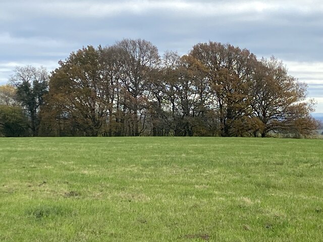
Gwernydd Reservoir is a man-made freshwater lake located in Denbighshire, Wales. Nestled in the picturesque countryside, it covers an area of approximately 20 acres and is surrounded by rolling hills and lush greenery. The reservoir was created in the early 19th century to provide water for the nearby towns and villages.
The lake is fed by several small streams and springs, ensuring a constant flow of fresh water. It is home to a diverse range of aquatic plants and wildlife, making it a popular spot for nature enthusiasts and birdwatchers. Visitors can often spot a variety of waterfowl, including ducks, geese, and herons, as well as other creatures such as otters and dragonflies.
Gwernydd Reservoir is also a popular recreational spot for fishing and boating. Anglers can try their luck at catching species such as trout, perch, and pike, while boaters can enjoy a peaceful ride on the calm waters. There is a small dock and launching area for boats, as well as designated fishing spots along the banks.
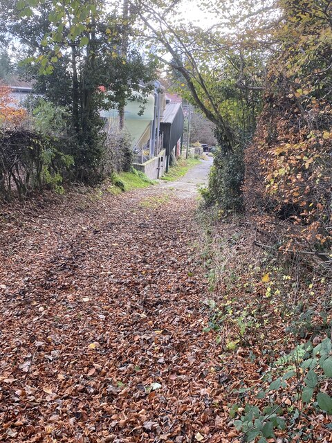
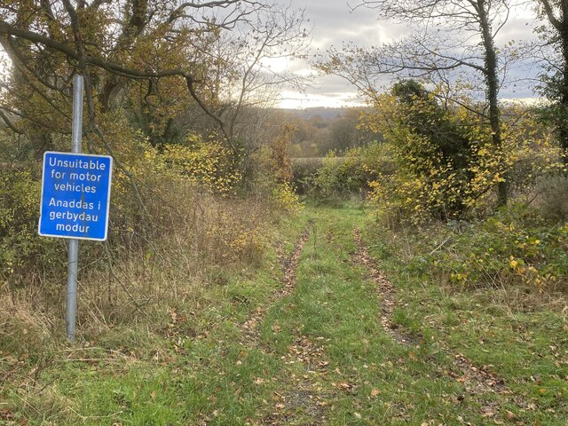
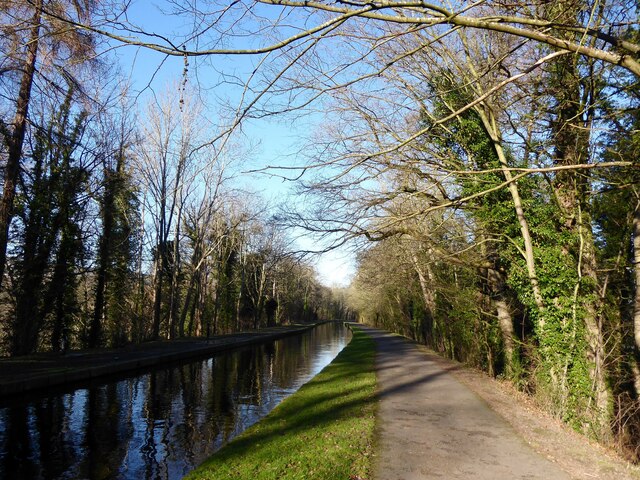
Surrounding the lake is a walking trail that offers stunning views of the surrounding countryside. It is a perfect place for a leisurely stroll or a picnic with family and friends. The reservoir is easily accessible by car and has a small parking area for visitors.
Overall, Gwernydd Reservoir is a tranquil and scenic destination, offering a variety of recreational activities and opportunities to connect with nature.
If you have any feedback on the listing, please let us know in the comments section below.
Gwernydd Reservoir Images
Images are sourced within 2km of 52.978504/-3.0998842 or Grid Reference SJ2642. Thanks to Geograph Open Source API. All images are credited.


Gwernydd Reservoir is located at Grid Ref: SJ2642 (Lat: 52.978504, Lng: -3.0998842)
Unitary Authority: Wrexham
Police Authority: North Wales
What 3 Words
///sundial.fancied.jigsaw. Near Ruabon, Wrexham
Nearby Locations
Related Wikis

Clwyd South (Senedd constituency)
Clwyd South (Welsh: De Clwyd) is a constituency of the Senedd. It elects one Member of the Senedd by the first past the post method of election. Also,...

Trevor railway station
Trevor railway station was formerly a station on the Ruabon to Barmouth Line in north-east Wales. The line was double track between Ruabon and Llangollen...
Trevor, Wrexham
Trevor (Welsh: Trefor) is a village in Wrexham County Borough, Wales. It is situated in the scenic Vale of Llangollen, on the A539 between Llangollen and...
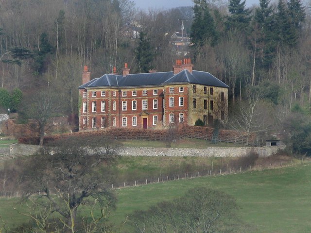
Trevor Hall, Denbighshire
Trevor Hall is a large grade I-listed Georgian mansion standing in 85 acres (35 hectares) of parkland at Trevor, near Llangollen, Denbighshire, Wales....

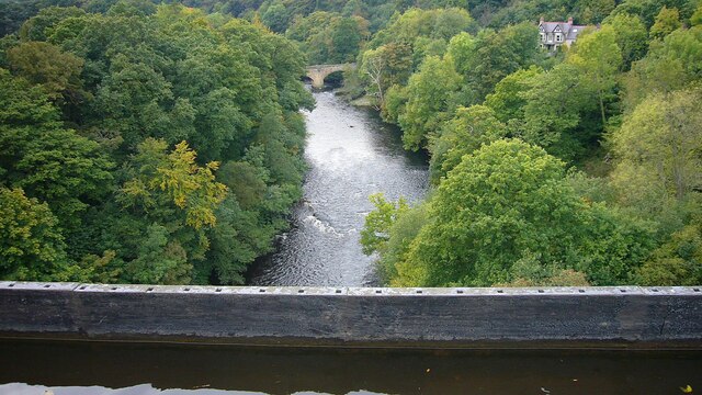
Pont Cysyllte
Pont Cysyllte, also known as Cysylltau Bridge or Bont Bridge, is a 17th-century road bridge crossing the River Dee near the village of Trevor, Wrexham...
Ruabon Brook Tramway
The Ruabon Brook Tramway (also known as Jessop's Tramway, and in its later years as the Shropshire Union Tramway) was a Welsh horse-drawn tramway linking...

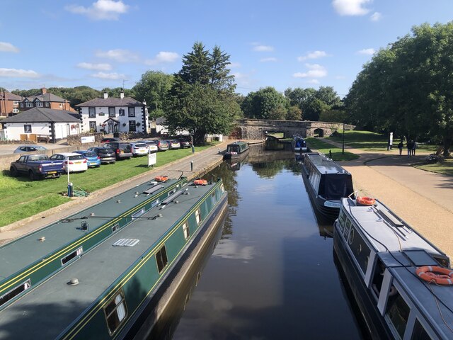
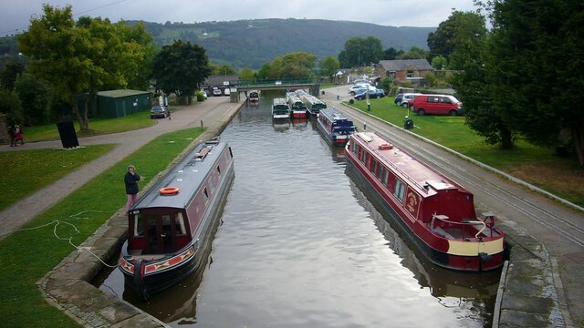
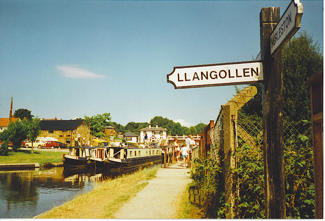
Trevor Basin
Trevor Basin is a canal basin on the Llangollen Canal, situated near Trevor, Wrexham County Borough, Wales, in between Llangollen and Ruabon. The basin...

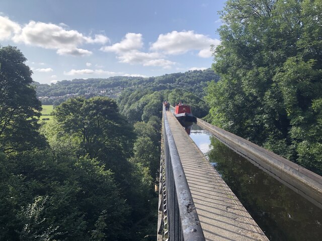
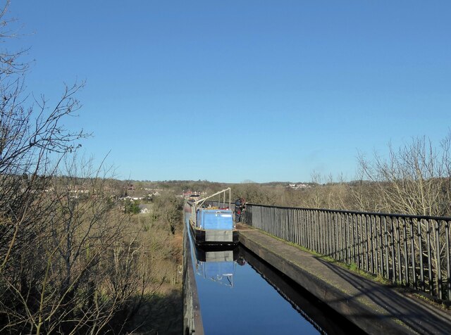
Pontcysyllte Aqueduct
The Pontcysyllte Aqueduct (Welsh pronunciation: [ˌpɔntkəˈsəɬtɛ]; Welsh: Traphont Ddŵr Pontcysyllte) is a navigable aqueduct that carries the Llangollen...
Nearby Amenities
Located within 500m of 52.978504,-3.0998842Have you been to Gwernydd Reservoir?
Leave your review of Gwernydd Reservoir below (or comments, questions and feedback).