Blind Tarn

Lake, Pool, Pond, Freshwater Marsh in Lancashire South Lakeland

England

Blind Tarn

Moorhouse Farm After a generally dull day, a burst of afternoon sunshine picks out the fells beyond Moorhouse Farm.
Moorhouse Farm Credit: Stephen McKay

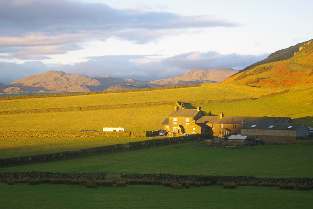
Blind Tarn is a picturesque and serene body of water located in Lancashire, England. Also known as a lake, pool, pond, or freshwater marsh, it is situated amidst the stunning natural landscapes of the region. The tarn is nestled within a tranquil wooded area, providing a secluded and peaceful setting for visitors to enjoy.

Covering an area of approximately 2 acres, Blind Tarn boasts crystal-clear waters that reflect the surrounding trees and sky, creating a mesmerizing sight. The water is fed by a combination of rainfall and natural springs, ensuring a constant flow of fresh water. The depth of the tarn varies, with some parts reaching up to 10 feet deep.

The tarn is home to a diverse range of flora and fauna, making it a popular spot for nature enthusiasts and wildlife photographers. The surrounding marshland provides a habitat for various species of waterfowl, including ducks, geese, and swans. Additionally, the area is rich in aquatic plant life, with lily pads and reeds adorning the edges of the tarn.

Visitors can access Blind Tarn via a well-maintained footpath, which leads through the enchanting woodland. The tarn offers opportunities for leisure activities such as fishing, picnicking, and nature walks. It is a tranquil retreat for those seeking solace in nature or a peaceful spot to unwind and connect with the natural world.

Blind Tarn is a hidden gem within Lancashire, offering a serene and idyllic setting for individuals to immerse themselves in the beauty of the natural environment.

If you have any feedback on the listing, please let us know in the comments section below.
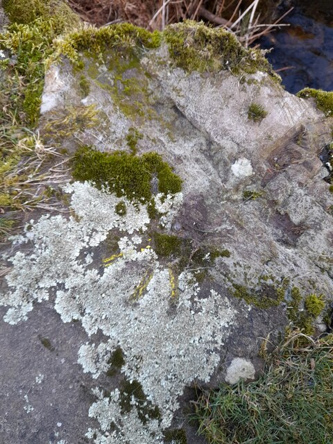
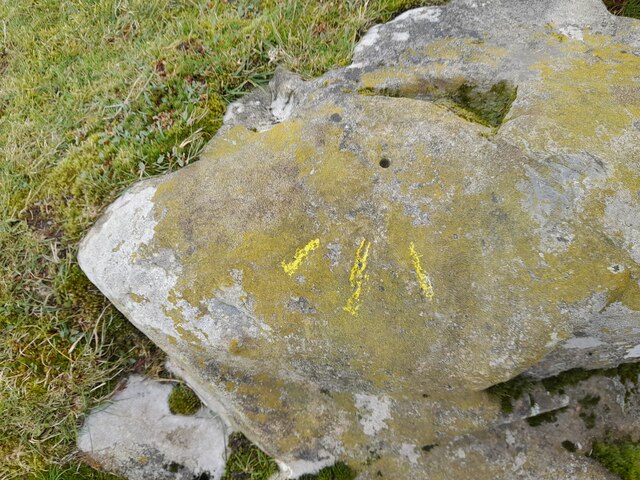
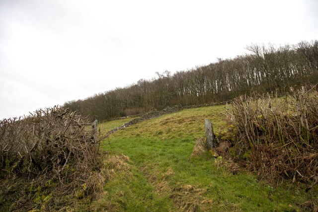
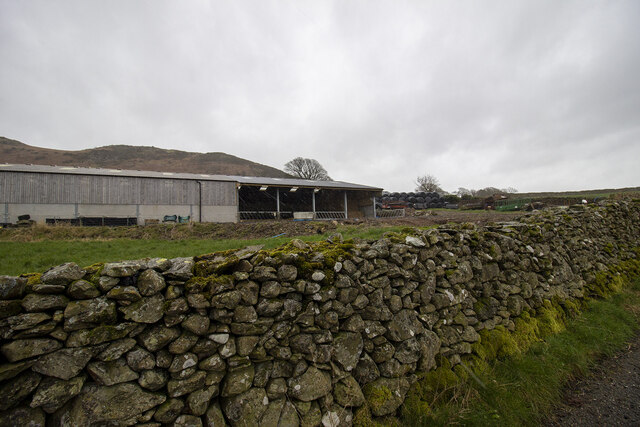
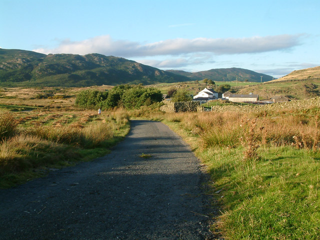
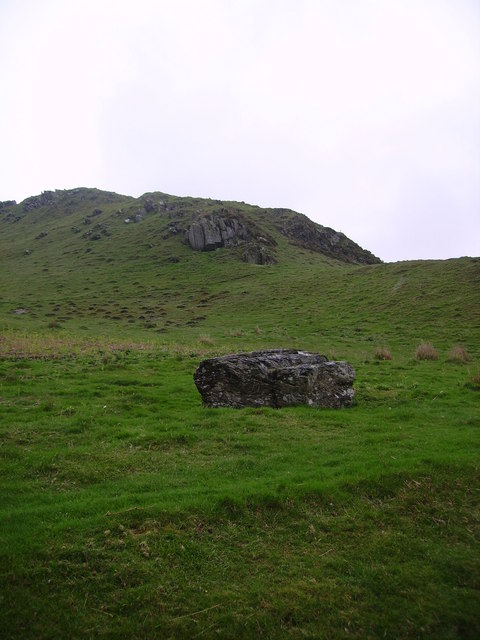
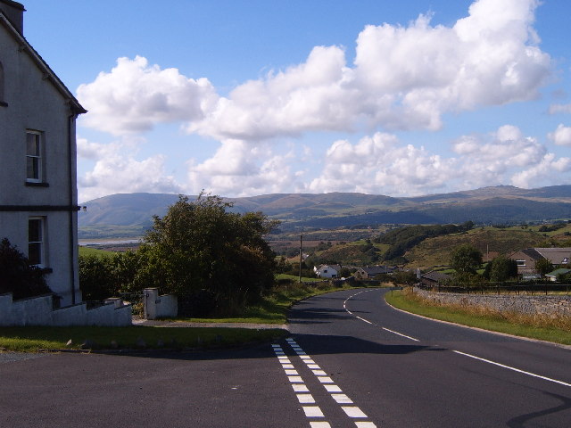
Blind Tarn Images

Images are sourced within 2km of 54.266558/-3.1434676 or Grid Reference SD2586. Thanks to Geograph Open Source API. All images are credited.

Moorhouse Farm After a generally dull day, a burst of afternoon sunshine picks out the fells beyond Moorhouse Farm.
Moorhouse Farm
After a generally dull day, a burst of afternoon sunshine picks out the fells beyond Moorhouse Farm.
Ordnance Survey Rivet This OS rivet can be found on a rock south side of the road. It marks a point 200.156m above mean sea level.
Ordnance Survey Rivet
This OS rivet can be found on a rock south side of the road. It marks a point 200.156m above mean sea level.
Ordnance Survey Cut Mark This OS cut mark can be found on the wall north side of the road. It marks a point 196.374m above mean sea level.
Ordnance Survey Cut Mark
This OS cut mark can be found on the wall north side of the road. It marks a point 196.374m above mean sea level.
Remains of OSBM Bolt The hole and remains of bolt thread can be found on a large boulder in field wall. It marked a point 170.505m above mean sea level.
Remains of OSBM Bolt
The hole and remains of bolt thread can be found on a large boulder in field wall. It marked a point 170.505m above mean sea level.
Ordnance Survey Rivet This OS rivet can be found on the wall east side of Woodlands Road. It marks a point 79.376m above mean sea level.
Ordnance Survey Rivet
This OS rivet can be found on the wall east side of Woodlands Road. It marks a point 79.376m above mean sea level.
Ordnance Survey Rivet This OS rivet can be found on the wall west side of Woodlands Road. It marks a point 93.637m above mean sea level.
Ordnance Survey Rivet
This OS rivet can be found on the wall west side of Woodlands Road. It marks a point 93.637m above mean sea level.
Ordnance Survey Rivet This OS rivet can be found on the wall east side of Woodlands Road. It marks a point 69.758m above mean sea level.
Ordnance Survey Rivet
This OS rivet can be found on the wall east side of Woodlands Road. It marks a point 69.758m above mean sea level.
Ordnance Survey Rivet This OS rivet can be found on the rock south side of the road. It marks a point 202.140m above mean sea level.
Ordnance Survey Rivet
This OS rivet can be found on the rock south side of the road. It marks a point 202.140m above mean sea level.
Ordnance Survey Rivet This OS rivet can be found on a rock south side of the road. It marks a point 124.383m above mean sea level.
Ordnance Survey Rivet
This OS rivet can be found on a rock south side of the road. It marks a point 124.383m above mean sea level.
Ordnance Survey Cut Mark This OS cut mark can be found on a rock south side of the road. It marks a point 126.204m above mean sea level.
Ordnance Survey Cut Mark
This OS cut mark can be found on a rock south side of the road. It marks a point 126.204m above mean sea level.
Ordnance Survey Rivet This OS rivet can be found on a boulder east side of the road. It marks a point 139.317m above mean sea level.
Ordnance Survey Rivet
This OS rivet can be found on a boulder east side of the road. It marks a point 139.317m above mean sea level.
Ordnance Survey Rivet This OS rivet can be found on boulder SW side of the track. It marks a point 133.905m above mean sea level.
Ordnance Survey Rivet
This OS rivet can be found on boulder SW side of the track. It marks a point 133.905m above mean sea level.
Ordnance Survey Rivet This OS rivet can be found on the culvert NE side of the road. It marks a point 124.724m above mean sea level.
Ordnance Survey Rivet
This OS rivet can be found on the culvert NE side of the road. It marks a point 124.724m above mean sea level.
Ordnance Survey Rivet This damaged OS rivet can be found on the rock NE side of the road. It marks a point 124.942m above mean sea level.
Ordnance Survey Rivet
This damaged OS rivet can be found on the rock NE side of the road. It marks a point 124.942m above mean sea level.
Gateway to field Gateway to field near Black Springs Wood
Gateway to field
Gateway to field near Black Springs Wood
Modern farm buildings
Birch Bank Farm A view of Birch Bank Farm and holiday cottage.
Birch Bank Farm
A view of Birch Bank Farm and holiday cottage.
Beanthwaite Looking across to Black Combe in the distance.
Beanthwaite
Looking across to Black Combe in the distance.
Show me another place!

Blind Tarn is located at Grid Ref: SD2586 (Lat: 54.266558, Lng: -3.1434676)

Administrative County: Cumbria

District: South Lakeland

Police Authority: Cumbria

What 3 Words

///equipping.calms.grinders. Near Ulverston, Cumbria

Related Wikis

Burney (hill)

Burney is a hill in Cumbria, England, to the north of the A5092 road between Greenodd and Broughton-in-Furness. It is the subject of a chapter of Wainwright...

Beanthwaite

Beanthwaite is a hamlet in Cumbria, England.

Gawthwaite

Gawthwaite is a village in Cumbria, England. It is located along the A5092 road, 4.8 miles (7.7 km) north of Ulverston. It is on the Grize Beck stream...

Blawith Knott

Blawith Knott is a hill in the south of the English Lake District, near Woodland, Cumbria. It is the subject of a chapter of Wainwright's book The Outlying...

Nearby Amenities

Located within 500m of 54.266558,-3.1434676
Barrier: cattle_grid
Lat/Long: 54.2665818/-3.1508459
Heathwaite Fell
Place: locality
Lat/Long: 54.2687128/-3.1469049
Barrier: cattle_grid
Lat/Long: 54.2624014/-3.1429576
Natural: spring
Lat/Long: 54.2686336/-3.1403717
Ford: yes
Lat/Long: 54.2688905/-3.1404723
Ford: yes
Lat/Long: 54.2689623/-3.1422173
Ford: yes
Lat/Long: 54.2690162/-3.1430337
Ford: yes
Lat/Long: 54.2688988/-3.141854
Stone Rings
Place: locality
Lat/Long: 54.266865/-3.1472121
Parking
Lat/Long: 54.2628887/-3.1433436
The data included in this document is from www.openstreetmap.org. The data is made available under ODbL.

Have you been to Blind Tarn?

Leave your review of Blind Tarn below (or comments, questions and feedback).