Seathwaite Tarn

Lake, Pool, Pond, Freshwater Marsh in Lancashire South Lakeland

England

Seathwaite Tarn

Goat's Water from Dow Crag View down Easter Gully to Goat’s Water from near the summit of Dow Crag.
Goat's Water from Dow Crag Credit: Adrian Taylor

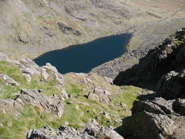
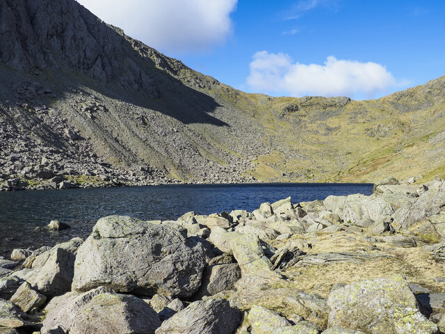
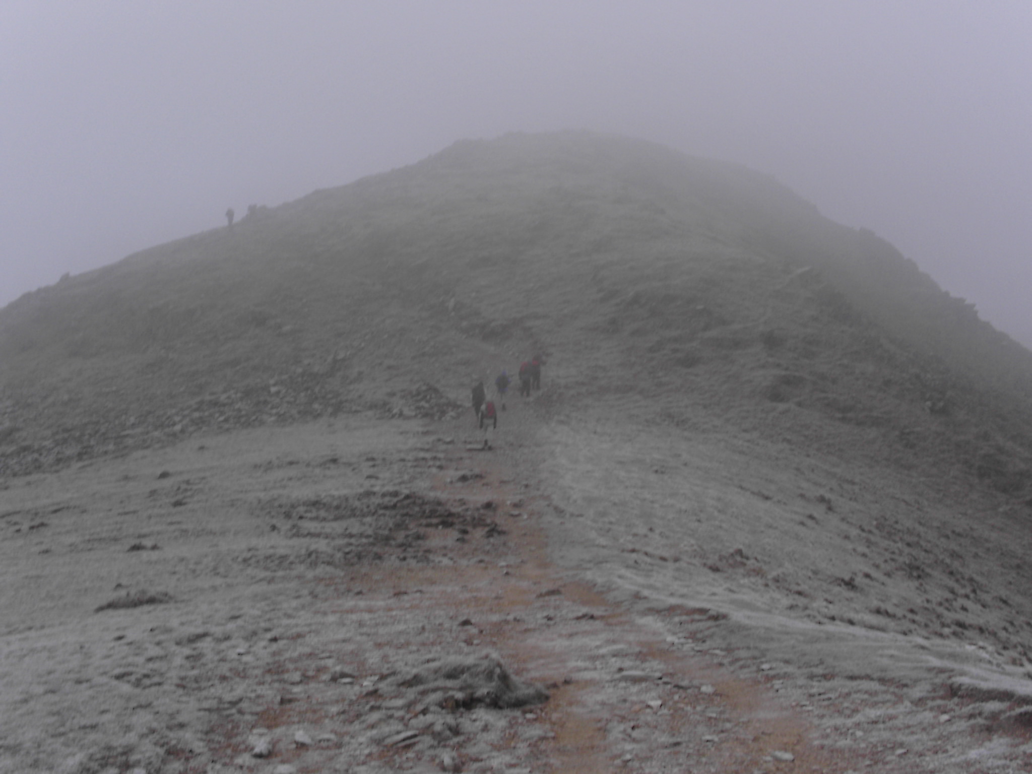
Seathwaite Tarn is a picturesque freshwater lake located in Lancashire, England. Nestled amidst the stunning scenery of the Lake District National Park, it is a haven for nature enthusiasts and a popular destination for outdoor activities.

This stunning tarn stretches across an area of approximately 8 hectares and is surrounded by rolling hills and lush vegetation. The lake itself is characterized by its crystal-clear waters, which are fed by several small streams and rainfall runoff. Seathwaite Tarn is relatively shallow, with a maximum depth of around 10 meters.

The surrounding area of the tarn is a diverse ecosystem, encompassing a range of habitats, including marshes, pools, and ponds. This creates a unique environment that supports a rich variety of plant and animal life. Visitors can expect to see an abundance of aquatic plants, such as water lilies and reeds, providing shelter and food for various species.

Seathwaite Tarn is also home to a variety of freshwater fish, including brown trout and perch, making it a popular spot for fishing. Additionally, the lake attracts a wide array of bird species, including ducks, geese, and herons, making it a haven for birdwatchers.

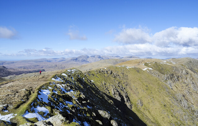
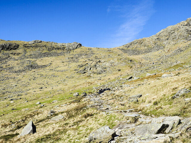
Outdoor enthusiasts can enjoy a range of activities at Seathwaite Tarn, including hiking, picnicking, and wildlife spotting. The surrounding trails offer breathtaking views of the surrounding countryside and provide an opportunity to explore the diverse flora and fauna.

In conclusion, Seathwaite Tarn is a stunning freshwater lake nestled in the heart of Lancashire's Lake District National Park. With its crystal-clear waters, diverse ecosystems, and breathtaking surroundings, it offers a tranquil retreat for nature lovers and outdoor enthusiasts alike.

If you have any feedback on the listing, please let us know in the comments section below.

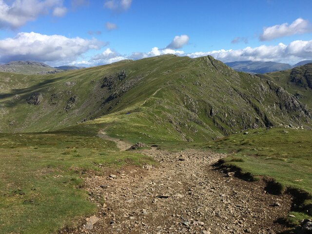
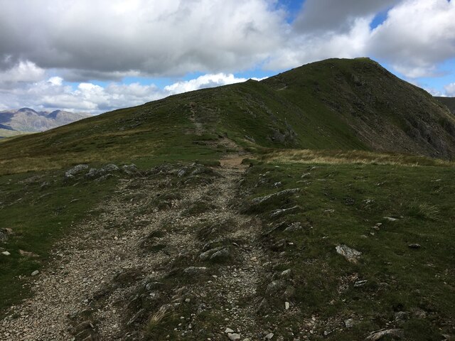
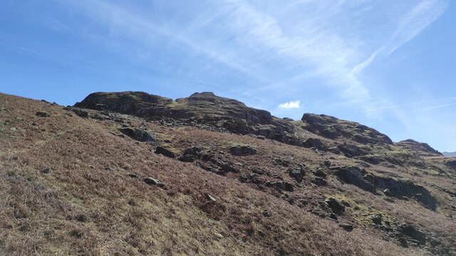
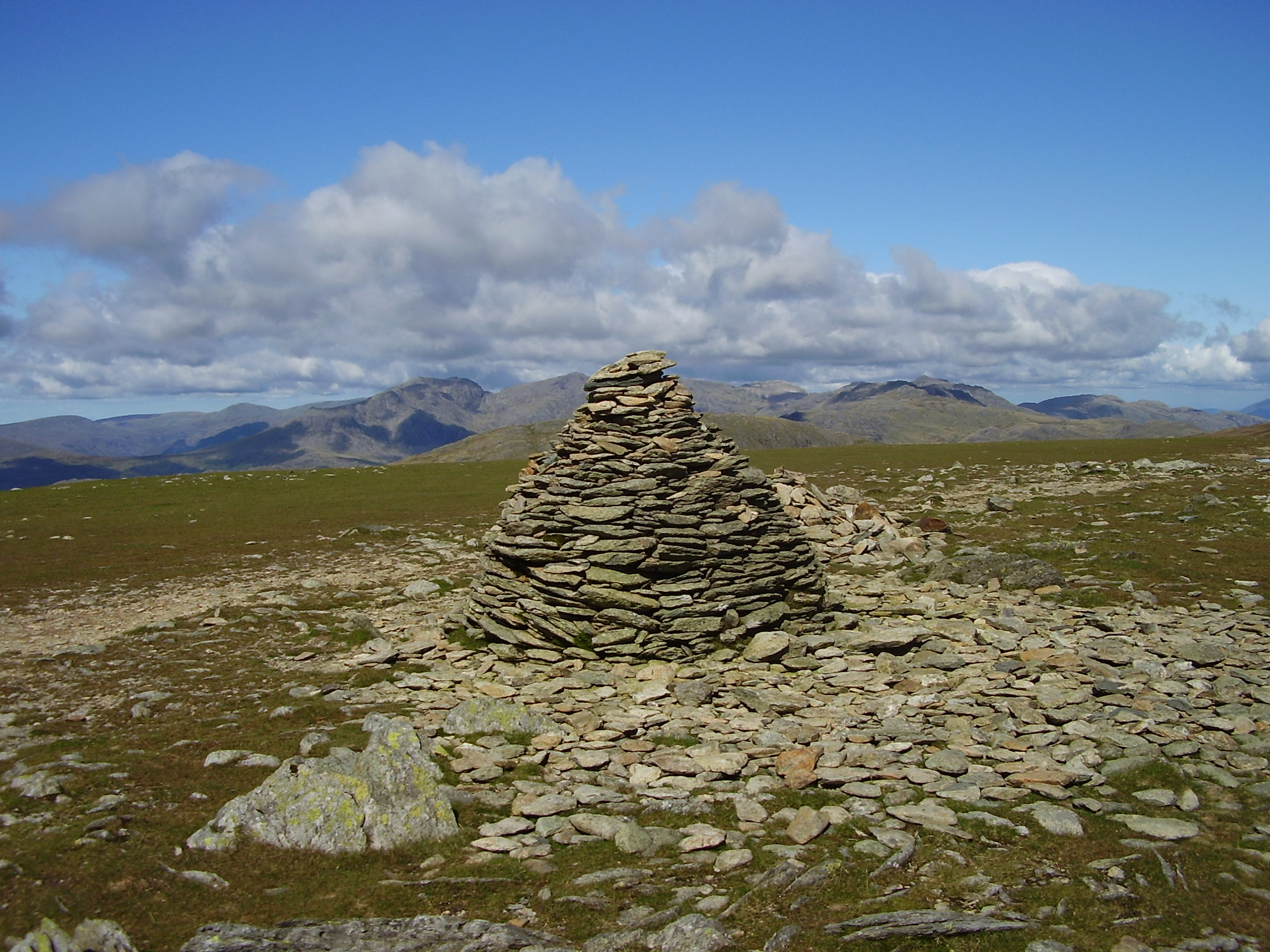
Seathwaite Tarn Images

Images are sourced within 2km of 54.379254/-3.1502935 or Grid Reference SD2598. Thanks to Geograph Open Source API. All images are credited.

Goat's Water from Dow Crag View down Easter Gully to Goat’s Water from near the summit of Dow Crag.
Goat's Water from Dow Crag
View down Easter Gully to Goat’s Water from near the summit of Dow Crag.
Crag rim at summit area of Coniston Old Man Snow residues lie at the edge of broken ground at the summit of the mountain. The crag rim and broad ridge extend initially to the north-west before turning north.
The Scafell group of mountains lie in the distance at the centre of the image.
Crag rim at summit area of Coniston Old Man
Snow residues lie at the edge of broken ground at the summit of the mountain. The crag rim and broad ridge extend initially to the north-west before turning north. The Scafell group of mountains lie in the distance at the centre of the image.
Northern slope of Dow Crag The darker slope rising to the left reaches Dow Crag. Goat's Hause is the col at the left side of the image from which a stream groove descends.
Harter Fell is the pyramidal peak at the centre of the image.
Northern slope of Dow Crag
The darker slope rising to the left reaches Dow Crag. Goat's Hause is the col at the left side of the image from which a stream groove descends. Harter Fell is the pyramidal peak at the centre of the image.
Boulders at shore of Goat's Water Goat's Water lies between two mountains of the Coniston group. The Old Man of Coniston rises unseen to the right, Dow Crag, to the left, across the lake.
Goat's Hause is the col in the distance.
Boulders at shore of Goat's Water
Goat's Water lies between two mountains of the Coniston group. The Old Man of Coniston rises unseen to the right, Dow Crag, to the left, across the lake. Goat's Hause is the col in the distance.
Path rising towards Goat's Hause The path is partly constructed using rocks set into the ground to minimise erosion. More work on the route seems to be planned - along the path line, below the image centre there are bagged boulders awaiting use to improve or repair the way.
Goat's Hause is the obvious dip on the horizon.
Path rising towards Goat's Hause
The path is partly constructed using rocks set into the ground to minimise erosion. More work on the route seems to be planned - along the path line, below the image centre there are bagged boulders awaiting use to improve or repair the way. Goat's Hause is the obvious dip on the horizon.
Path between Brim Fell and Swirl How
Path on Savin Hill
Path on Savin Hill
Looking from Dow Crag towards Buck Pike
Path towards Buck Pike
Brow Side Farm
Brow Side Farm
Seathwaite Tarn (after Alfred Heaton Cooper) Alfred Heaton Cooper painted Seathwaite Tarn before the dam was built in 1907. His picture can easily be found on the Internet.  This photograph is close to the same view.  The photograph shows the dam, and the water level is higher than in Heaton Cooper's day.  Heaton Cooper's picture (at least in its reproductions) is squeezed in horizontally, but is otherwise a very accurate depiction of the scene.
Seathwaite Tarn (after Alfred Heaton Cooper)
Alfred Heaton Cooper painted Seathwaite Tarn before the dam was built in 1907. His picture can easily be found on the Internet. This photograph is close to the same view. The photograph shows the dam, and the water level is higher than in Heaton Cooper's day. Heaton Cooper's picture (at least in its reproductions) is squeezed in horizontally, but is otherwise a very accurate depiction of the scene.
Tarn Beck, Troutal Tongue and Duddon Valley Parallel valleys with Tarn Beck on the left and the Duddon valley, turning into a gorge on the right.
Tarn Beck, Troutal Tongue and Duddon Valley
Parallel valleys with Tarn Beck on the left and the Duddon valley, turning into a gorge on the right.
Foss How Distinctively shaped outcrop.
Foss How
Distinctively shaped outcrop.
Seathwaite dam with Tarn Beck Water is released in a controlled fashion down Tarn Beck to top-up the Duddon if Barrow is taking too much water from it.
Seathwaite dam with Tarn Beck
Water is released in a controlled fashion down Tarn Beck to top-up the Duddon if Barrow is taking too much water from it.
Seathwaite Tarn Looking like the reservoir it has become, from this view.
Seathwaite Tarn
Looking like the reservoir it has become, from this view.
Tarn Beck
Tarn Beck
Troutal
Troutal
Descending Tongue House Close
Show me another place!

Seathwaite Tarn is located at Grid Ref: SD2598 (Lat: 54.379254, Lng: -3.1502935)

Administrative County: Cumbria

District: South Lakeland

Police Authority: Cumbria

What 3 Words

///garden.ramps.cheerful. Near Ambleside, Cumbria

Nearby Locations

Seathwaite Tarn

Related Wikis

Seathwaite Tarn

Seathwaite Tarn is a reservoir in the Furness Fells within the English Lake District. It is located to the south of Grey Friar and to the west of Brim...

Dow Crag

Dow Crag is a fell in the English Lake District near Coniston, Cumbria. The eastern face is one of the many rock faces in the Lake District used for rock...

Grey Friar

Grey Friar is a fell in the English Lake District, it is one of the Coniston Fells and is situated 13 kilometres (8 miles) west-south-west of Ambleside...

Goat's Water

Goat's Water is a small accessible tarn in the English Lake District, located between Dow Crag and The Old Man of Coniston to the Duddon Valley, near the...

Brim Fell

Brim Fell is a fell in the English Lake District. It stands to the west of Coniston village in the southern part of the District. == Topography == The...

Buck Pike

Buck Pike is a fell located in the Lake District National Park in Cumbria. Buck Pike is near the village of Coniston. Other fells in this area include...

Birks Bridge

Birks Bridge is a traditional stone-built bridge over the River Duddon in the English Lake District, in Dunnerdale-with-Seathwaite, Cumbria, standing...

Walna Scar

Walna Scar is a hill in the English Lake District, lying just south of a pass of the same name in the Coniston Hills. Its summit at 2,035 feet (620 m)...

Nearby Amenities

Located within 500m of 54.379254,-3.1502935
Source: npe
Lat/Long: 54.3779002/-3.1552034
Source: npe
Lat/Long: 54.3789608/-3.1551286
Source: npe
Lat/Long: 54.3800751/-3.1529465
Source: npe
Lat/Long: 54.3807519/-3.1515903
Source: npe
Lat/Long: 54.3818816/-3.1496783
Source: npe
Lat/Long: 54.3814501/-3.1461728
Source: npe
Lat/Long: 54.3804418/-3.1471213
Source: npe
Lat/Long: 54.379257/-3.1492854
Source: npe
Lat/Long: 54.3784965/-3.1494454
Source: npe
Lat/Long: 54.3772318/-3.1499553
Source: npe
Lat/Long: 54.3760224/-3.1523878
Source: npe
Lat/Long: 54.3755649/-3.15415
Woody Crag
Natural: cliff
Lat/Long: 54.3760095/-3.1478524
Shudderstone How
Place: locality
Lat/Long: 54.3784001/-3.1466514
Raven Nest How
Place: locality
Lat/Long: 54.3817847/-3.1444225
Tarn Brow
Place: locality
Lat/Long: 54.3820965/-3.1544423
How Wood Hough
Place: locality
Lat/Long: 54.3767122/-3.1505047
The data included in this document is from www.openstreetmap.org. The data is made available under ODbL.

Have you been to Seathwaite Tarn?

Leave your review of Seathwaite Tarn below (or comments, questions and feedback).