Kingspool Gullets

Lake, Pool, Pond, Freshwater Marsh in Dumfriesshire

Scotland

Kingspool Gullets

Stand of Milk At the source of the Water of Milk, with the forest on Hareshaw Rig beyond.
Stand of Milk Credit: Oliver Dixon

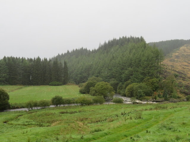
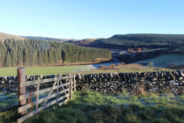
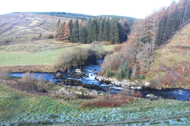
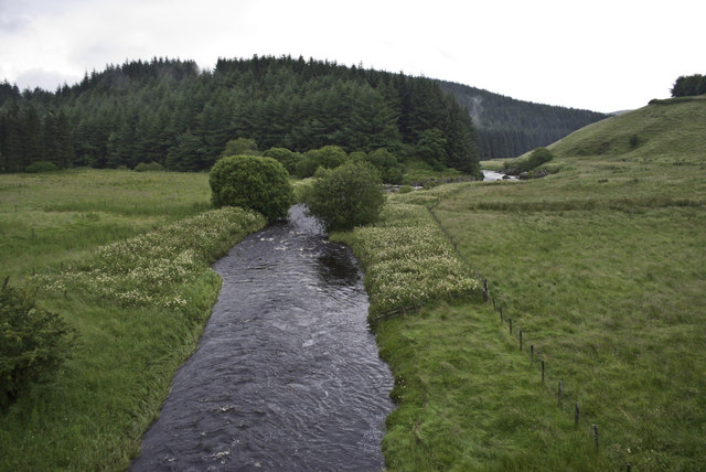
Kingspool Gullets is a stunning freshwater marsh located in Dumfriesshire, Scotland. Spread across an area of approximately 20 acres, it is a picturesque site that encompasses a combination of a lake, pool, pond, and marsh.

The main feature of Kingspool Gullets is its tranquil lake, which covers a significant portion of the area. The lake is surrounded by lush green vegetation, providing a breathtaking view for visitors. Its crystal-clear waters are home to various species of fish, including trout and perch, making it a popular spot for fishing enthusiasts.

Adjacent to the lake, there is a small pool that serves as a habitat for several types of water plants and insects. This pool is a crucial breeding ground for dragonflies and damselflies, adding to the biodiversity of the area.

The pond in Kingspool Gullets is relatively smaller in size and is home to a variety of amphibians, such as frogs and newts. It is an ideal place for birdwatchers, as numerous species of birds can be spotted here, including herons, ducks, and swans.

Lastly, Kingspool Gullets boasts a freshwater marsh, characterized by its wet, marshy terrain. This marsh provides a perfect habitat for water-loving plants, such as reeds and rushes, attracting a wide range of wildlife.

Overall, Kingspool Gullets is a haven for nature enthusiasts, offering a diverse range of habitats and wildlife. Whether it's fishing, birdwatching, or simply enjoying the serenity of nature, this site is a must-visit for anyone seeking a peaceful escape in Dumfriesshire.

If you have any feedback on the listing, please let us know in the comments section below.

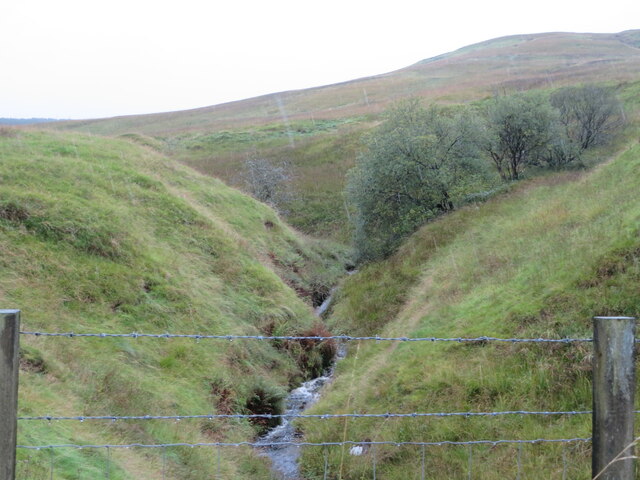
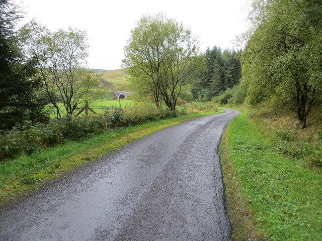
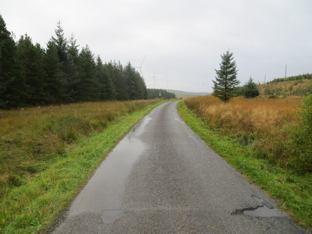
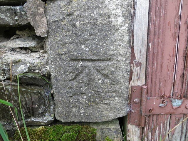
Kingspool Gullets Images

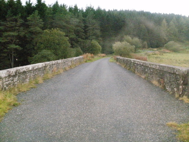
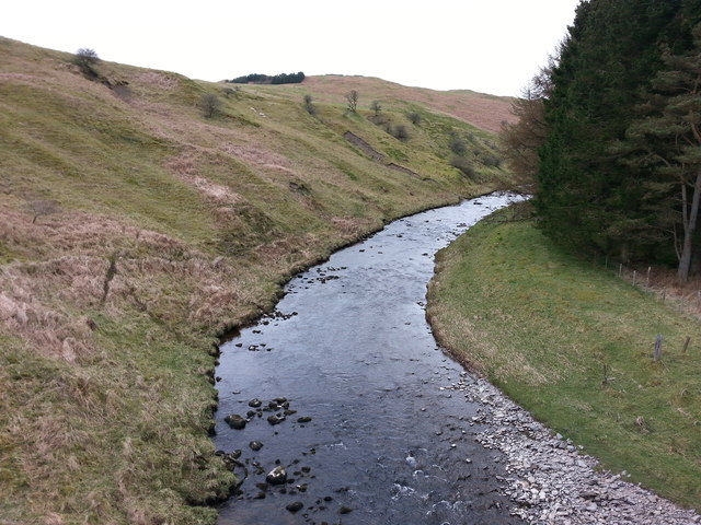
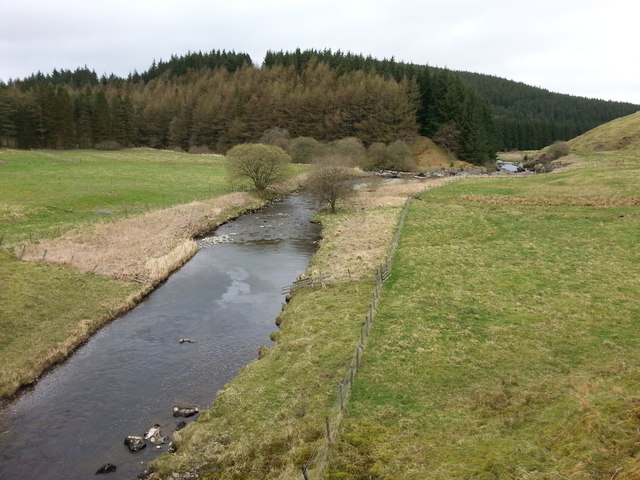
Images are sourced within 2km of 55.205903/-3.1747505 or Grid Reference NY2590. Thanks to Geograph Open Source API. All images are credited.

Stand of Milk At the source of the Water of Milk, with the forest on Hareshaw Rig beyond.
Stand of Milk
At the source of the Water of Milk, with the forest on Hareshaw Rig beyond.
Cairn at Stand of Milk So far unidentified - it was pouring with rain. The grey panel appeared to be a cover of some sort. This area is the source of the Water of Milk, which explains the name. The woodland is on Hareshaw Rig and the five wind turbines are the northern part of 48 of Crossdykes Windfarm, apparently Scotland's first built without government support.
Cairn at Stand of Milk
So far unidentified - it was pouring with rain. The grey panel appeared to be a cover of some sort. This area is the source of the Water of Milk, which explains the name. The woodland is on Hareshaw Rig and the five wind turbines are the northern part of 48 of Crossdykes Windfarm, apparently Scotland's first built without government support.
The meeting of the Black and White Esks Only just visible here but the meeting of the two waters is quite turbulent. The White Esk comes from the north, from the wooded valley, and the Black Esk comes from the left.
The meeting of the Black and White Esks
Only just visible here but the meeting of the two waters is quite turbulent. The White Esk comes from the north, from the wooded valley, and the Black Esk comes from the left.
Mill Burn in Eskdale A tributary of the Black Esk, just before it meets the White Esk below Black Esk Bridge.
Mill Burn in Eskdale
A tributary of the Black Esk, just before it meets the White Esk below Black Esk Bridge.
Minor road at Folds Plantation Looking south-westward.
Minor road at Folds Plantation
Looking south-westward.
Minor road near to King's Pool Car Park Looking north-westward.
Minor road near to King's Pool Car Park
Looking north-westward.
Minor road approaching Black Esk Bridge Looking south-westward.
Minor road approaching Black Esk Bridge
Looking south-westward.
Minor road near to Crossdykes Knowe Looking southward.
Minor road near to Crossdykes Knowe
Looking southward.
Minor moorland road near to Eldery Knowe Looking north-eastward.
Minor moorland road near to Eldery Knowe
Looking north-eastward.
Ordnance Survey Cut Mark His mark can be found on the wall of a roadside barn near Bailiehill.
The recorded details give a height of 203.4 metres above sea level.
For more details see : <span class="nowrap"><a title="https://www.bench-marks.org.uk/bm135534" rel="nofollow ugc noopener" href="https://www.bench-marks.org.uk/bm135534">Link</a><img style="margin-left:2px;" alt="External link" title="External link - shift click to open in new window" src="https://s1.geograph.org.uk/img/external.png" width="10" height="10"/></span>
Ordnance Survey Cut Mark
His mark can be found on the wall of a roadside barn near Bailiehill. The recorded details give a height of 203.4 metres above sea level. For more details see : LinkExternal link
Frost lingers by the River Esk
Meeting of White Esk and Black Esk rivers
From Black Esk Bridge
Black Esk Bridge
Black Esk Bridge
The Black Esk river from Black Esk Bridge
Looking downstream from the Black Esk Bridge towards Kingspool
Cleared forest on the slope of the Knowe Willow herb commonly invades such sites.A couple of forlorn tree trunks still stand.
Cleared forest on the slope of the Knowe
Willow herb commonly invades such sites.A couple of forlorn tree trunks still stand.
Road above the White Esk This minor road follow the valley of the White Esk, whilst the main road takes the more direct route over the hill to the east.
Road above the White Esk
This minor road follow the valley of the White Esk, whilst the main road takes the more direct route over the hill to the east.
Show me another place!

Kingspool Gullets is located at Grid Ref: NY2590 (Lat: 55.205903, Lng: -3.1747505)

Unitary Authority: Dumfries and Galloway

Police Authority: Dumfries and Galloway

What 3 Words

///zipped.nicknames.nitrate. Near Bentpath, Dumfries & Galloway

Related Wikis

Castle O'er Forest

Castle O'er Forest is a forest south of Eskdalemuir, Dumfries and Galloway, in southern Scotland.It is bisected by the River Esk. Eskdalemuir Forest adjoins...

Whitcastles stone circle

Whitcastles or Little Hartfell (grid reference NY 2240 8806) is a stone circle 6½ miles NE of Lockerbie, Dumfries and Galloway. Nine fallen stones lie...

Girdle Stanes

The Girdle Stanes (grid reference NY 25351 96153) is a stone circle near Eskdalemuir, Dumfries and Galloway. The western portion of the circle has been...

Loupin Stanes

The Loupin Stanes (grid reference NY25709663) is a stone circle near Eskdalemuir, Dumfries and Galloway. Oval in shape, it consists of twelve stones set...

Nearby Amenities

Located within 500m of 55.205903,-3.1747505
Parking
White Esk King's Pool
Lat/Long: 55.2075675/-3.1761814
Power: pole
Lat/Long: 55.2037504/-3.1679493
The data included in this document is from www.openstreetmap.org. The data is made available under ODbL.

Have you been to Kingspool Gullets?

Leave your review of Kingspool Gullets below (or comments, questions and feedback).