Hoglinns Water

Lake, Pool, Pond, Freshwater Marsh in Orkney

Scotland

Hoglinns Water

Cliffs at the Berry, Hoy, from the sea Taken from about ND 21 86
Cliffs at the Berry, Hoy, from the sea Credit: Mike Pennington

The requested URL returned error: 429 Too Many Requests

If you have any feedback on the listing, please let us know in the comments section below.

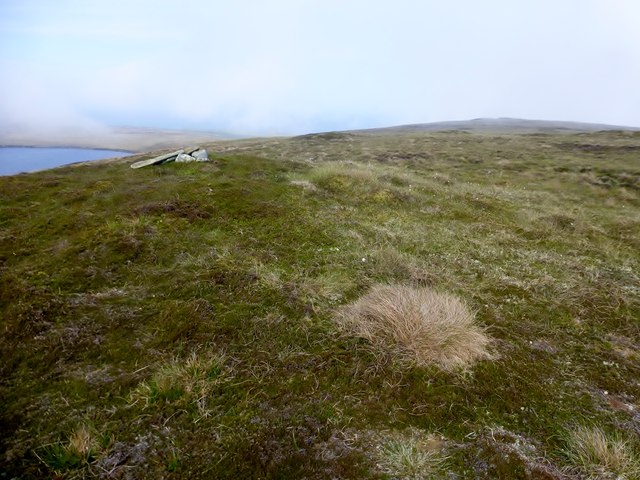
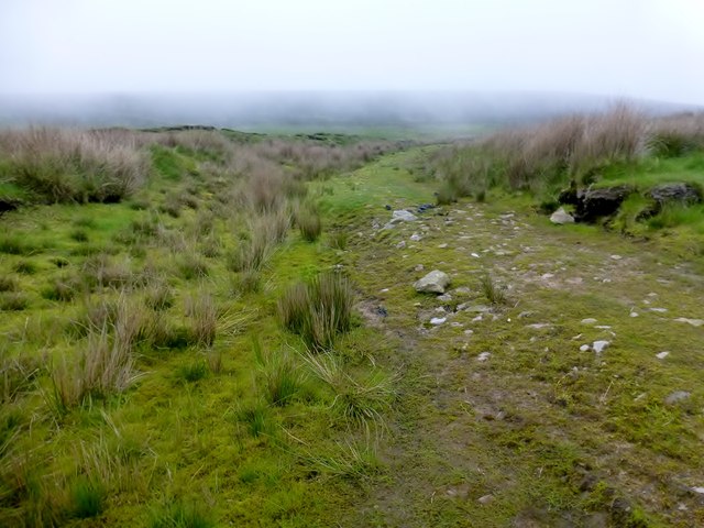
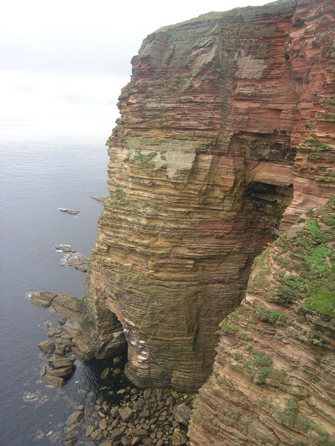
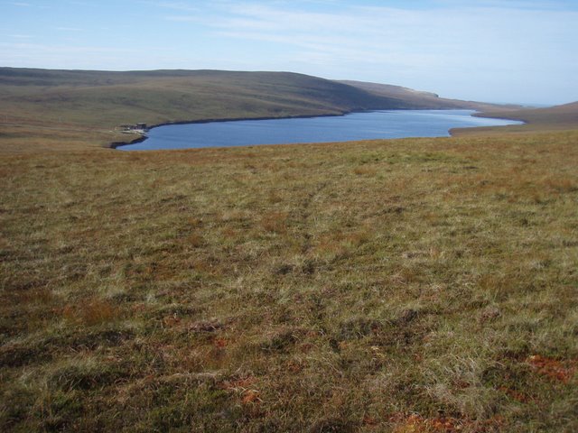
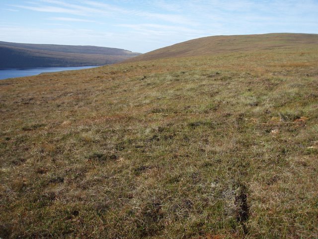
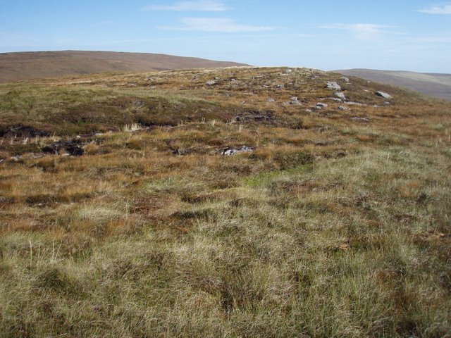
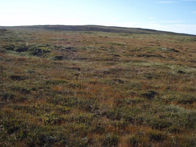
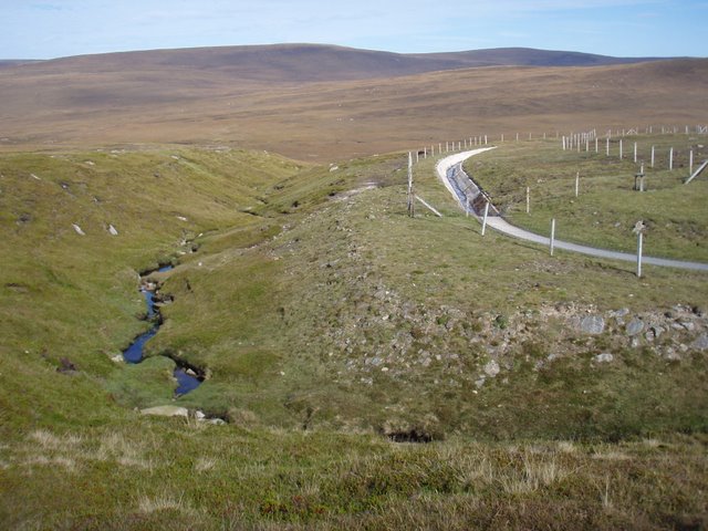
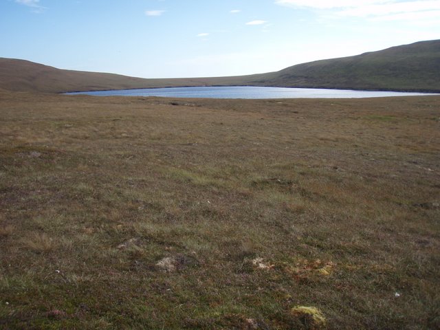
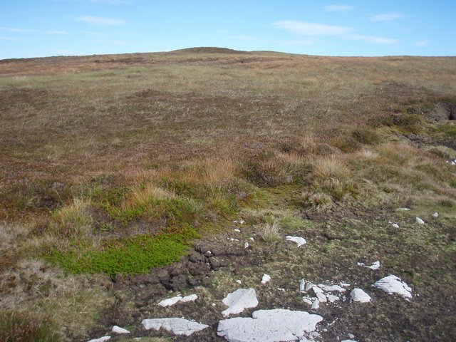
Hoglinns Water Images

Images are sourced within 2km of 58.801977/-3.3005892 or Grid Reference ND2491. Thanks to Geograph Open Source API. All images are credited.

Cliffs at the Berry, Hoy, from the sea Taken from about ND 21 86
Cliffs at the Berry, Hoy, from the sea
Taken from about ND 21 86
Broughs of the Berry, Hoy These 20m islands have some interesting arches. A hanging crack on the north west side provides some sporting climbing.
Broughs of the Berry, Hoy
These 20m islands have some interesting arches. A hanging crack on the north west side provides some sporting climbing.
Painted cliffs Naturally coloured rocks are common. Whole giant artworks not so!
Painted cliffs
Naturally coloured rocks are common. Whole giant artworks not so!
The Berry Track then moorland to bag this trig in the mist with Jim Bloomer and Tricky Speirs.
Name: The Berry
Hill number: 4925
Height: 199m / 653ft
Parent (Ma/M):1551  Knap of Trowieglen
Area:23: Orkney Islands
Class: Hu,1
Grid ref: ND247907 (est)
Drop: 125m
Col: 74m  ND270924
The Berry
Track then moorland to bag this trig in the mist with Jim Bloomer and Tricky Speirs. Name: The Berry Hill number: 4925 Height: 199m / 653ft Parent (Ma/M):1551 Knap of Trowieglen Area:23: Orkney Islands Class: Hu,1 Grid ref: ND247907 (est) Drop: 125m Col: 74m ND270924
Skird Hill Bagged after The Berry with Jim Bloomer and Tricky Speirs.
Name: Skird Hill
Hill number: 12199
Height: 171m / 561ft
Parent (Ma/M): 1551  Knap of Trowieglen
Area:23: Orkney Islands
Class: 1
Grid ref: ND255913 (est)
Drop: 54m
Col: 117m  ND247911
Skird Hill
Bagged after The Berry with Jim Bloomer and Tricky Speirs. Name: Skird Hill Hill number: 12199 Height: 171m / 561ft Parent (Ma/M): 1551 Knap of Trowieglen Area:23: Orkney Islands Class: 1 Grid ref: ND255913 (est) Drop: 54m Col: 117m ND247911
En Route To The Berry A gradual gradient uphill moorland route towards The Berry.
En Route To The Berry
A gradual gradient uphill moorland route towards The Berry.
Glen of the Berry At the end of the track as we head towards the Glen of the Berry.
Glen of the Berry
At the end of the track as we head towards the Glen of the Berry.
Berry Seacliffs, Hoy These impressive sandstone cliffs have some fine arches and a stack which is just to the left of this picture. The rock, however is poor and frequently loose.
Berry Seacliffs, Hoy
These impressive sandstone cliffs have some fine arches and a stack which is just to the left of this picture. The rock, however is poor and frequently loose.
Heldale Water  The largest loch on Hoy, with building associated water supply at the end.
Heldale Water
The largest loch on Hoy, with building associated water supply at the end.
Bakingstone Hill The rounded hill north of Heldale water seen to the left.
Bakingstone Hill
The rounded hill north of Heldale water seen to the left.
Bakingstone Hill The northern end of the southern bump on this hill.
Bakingstone Hill
The northern end of the southern bump on this hill.
Bakingstone Hill Grassy moorland leading up the hill.
Bakingstone Hill
Grassy moorland leading up the hill.
Burn of Hoglinns and its man made counterpart The natural burn on the left joins the Burn of Greenheads just north of the square.  However, looking at the dam arrangement slightly upstream when the flow is high enough some of the flow is diverted into a man made channel which sends the water to Heldale Water.  Heldale water would seem to be the holding reservoir on Hoy.  Someone is bound to know better.
Burn of Hoglinns and its man made counterpart
The natural burn on the left joins the Burn of Greenheads just north of the square. However, looking at the dam arrangement slightly upstream when the flow is high enough some of the flow is diverted into a man made channel which sends the water to Heldale Water. Heldale water would seem to be the holding reservoir on Hoy. Someone is bound to know better.
Hoglinns Water Some of the outflow from the loch is diverted into Heldale water, so I assume that used for water supply.
Hoglinns Water
Some of the outflow from the loch is diverted into Heldale water, so I assume that used for water supply.
Skird Hill  This hill separates Hoy's two largest lochs namely Heldale Water and Hoglinns Water.
Skird Hill
This hill separates Hoy's two largest lochs namely Heldale Water and Hoglinns Water.
East ridge of The Berry Broad grassy ridge leads to The Berry the south side of Hoglinns water.
East ridge of The Berry
Broad grassy ridge leads to The Berry the south side of Hoglinns water.
Hillside below Cairn Hill Typical grassy heathery moorland.  The south east peninsula of Hoy in the distance, and North Walls to its left.
Hillside below Cairn Hill
Typical grassy heathery moorland. The south east peninsula of Hoy in the distance, and North Walls to its left.
The summit of Cairn Hill I was expecting a more impressive cairn give that the hill is call Cairn Hill. Binga Fea in the background.
The summit of Cairn Hill
I was expecting a more impressive cairn give that the hill is call Cairn Hill. Binga Fea in the background.
Show me another place!

Hoglinns Water is located at Grid Ref: ND2491 (Lat: 58.801977, Lng: -3.3005892)

Unitary Authority: Orkney Islands

Police Authority: Highlands and Islands

What 3 Words

///post.acrobat.adverbs. Near Lyness, Orkney Islands

Nearby Locations

Hoglinns Water

Related Wikis

Hoglinns Water

Hoglinns Water is a small freshwater loch in the south of the island of Hoy, Orkney. It drains in to Heldale Water via Hoglinns Burn. The loch was surveyed...

The Needle, Orkney

The Needle is a 70-metre-high (230 ft) sea stack on the island of Hoy, in Orkney, Scotland. It is located on the southwest coast of Hoy at ND243902. There...

Brims, Orkney

Brims is a village at the southern point of the island of Hoy, in Orkney, Scotland. The settlement is within the parish of Walls and Flotta. The RNLI lifeboat...

RNLB Thomas McCunn (ON 759)

RNLB Thomas McCunn (ON 759) is a 45ft 6in Watson-class lifeboat stationed at Longhope in Orkney, Scotland, from January 1933 until April 1962. During...

Have you been to Hoglinns Water?

Leave your review of Hoglinns Water below (or comments, questions and feedback).