Angle Tarn

Lake, Pool, Pond, Freshwater Marsh in Cumberland Allerdale

England

Angle Tarn

Rossett Pike Mid November day just passed the summit of the pike.
Rossett Pike Credit: DrewBull

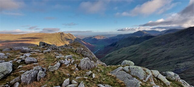
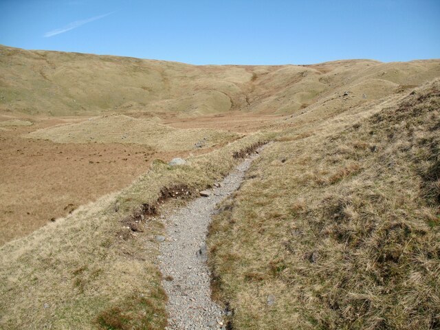
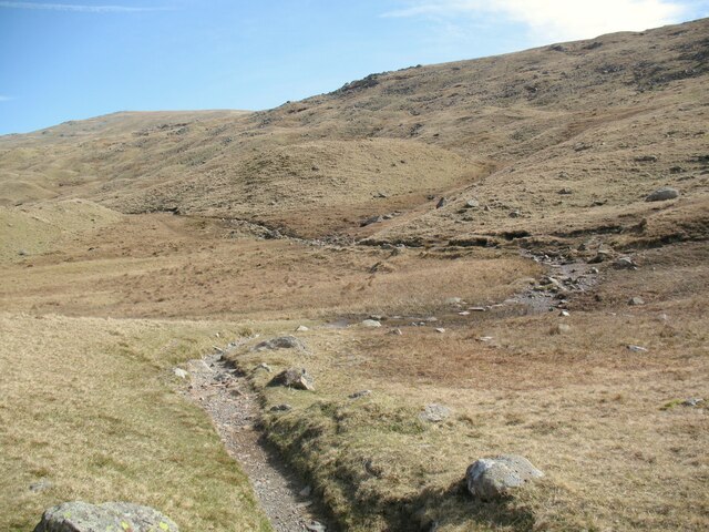
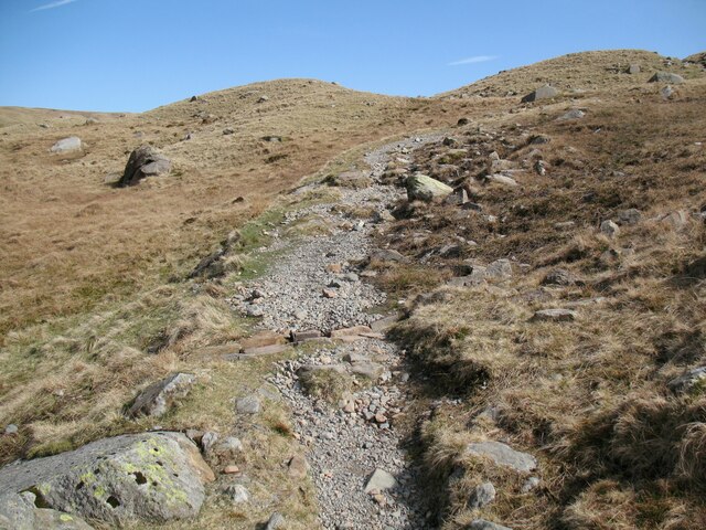
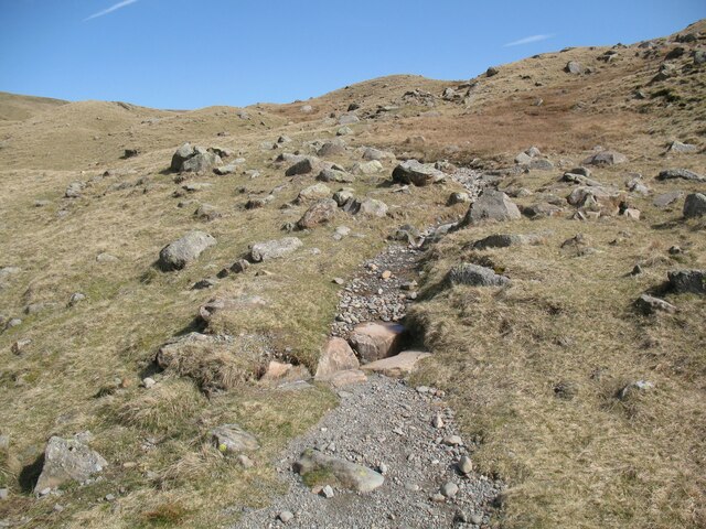
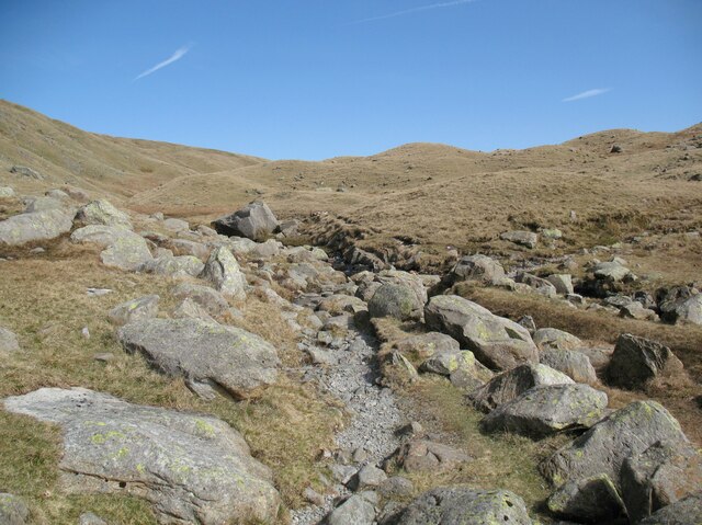
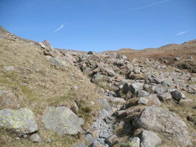
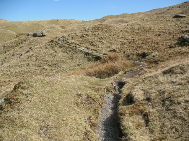
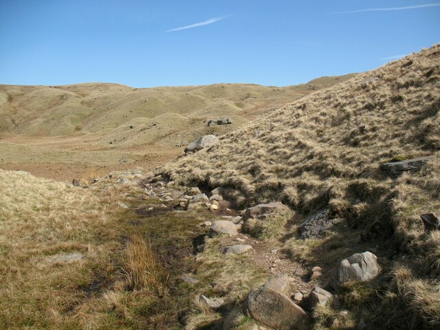
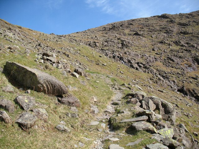
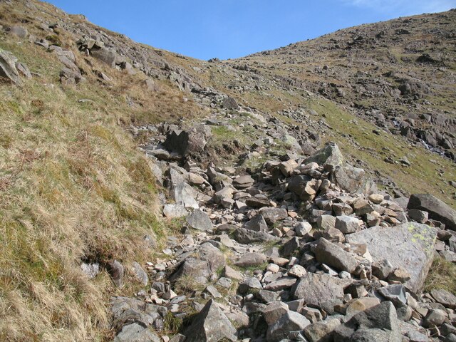
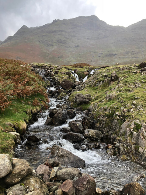
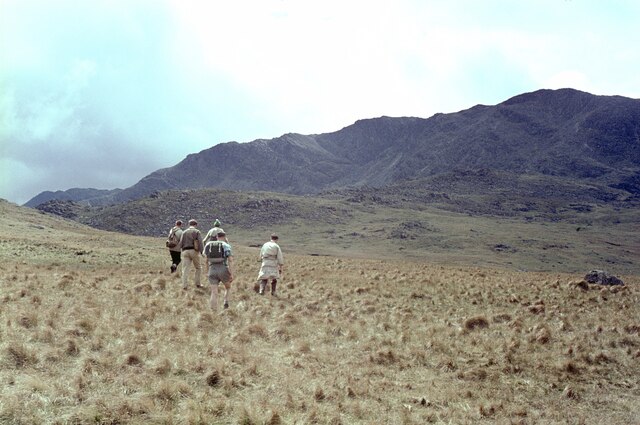
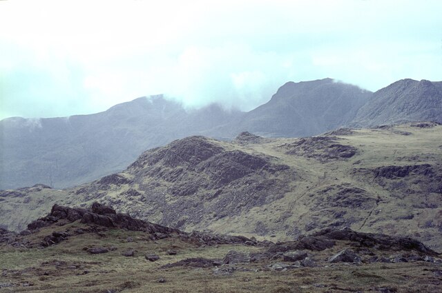
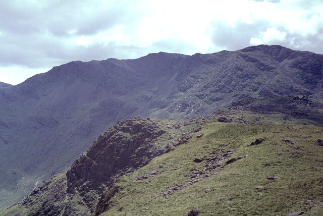
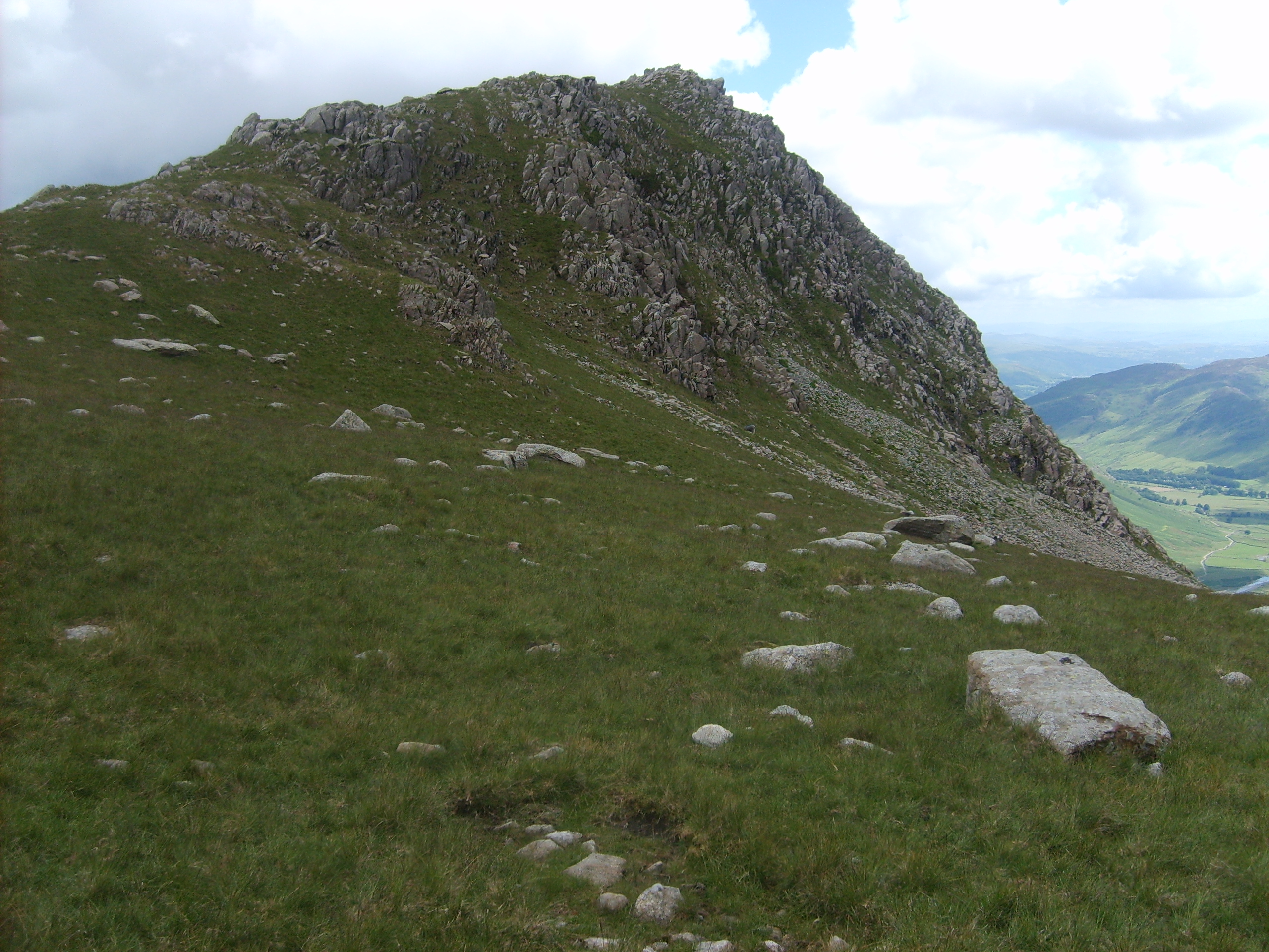
Angle Tarn is a picturesque freshwater lake located in the county of Cumberland, England. Nestled in the heart of the Lake District National Park, it is situated at an altitude of approximately 460 meters above sea level. Surrounded by rugged mountain peaks and verdant hills, this serene tarn is a popular destination for hikers, nature enthusiasts, and photographers.

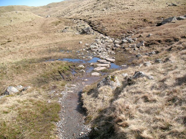
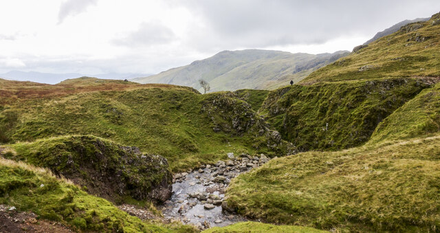
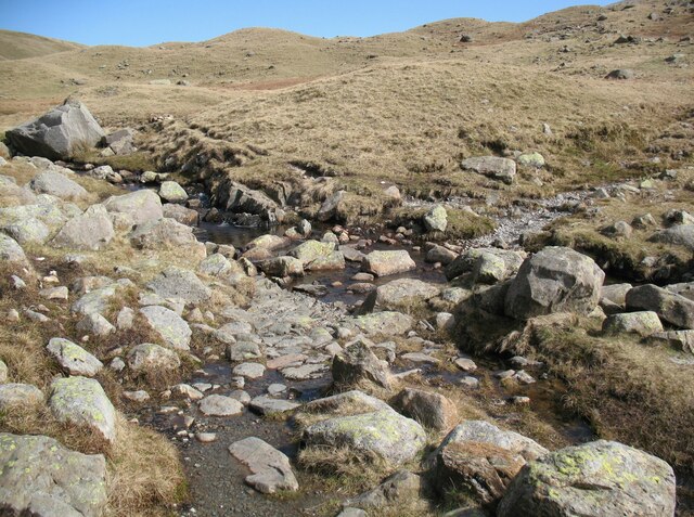
Spanning over an area of approximately 10 acres, Angle Tarn is a small, yet enchanting body of water. Its crystal-clear waters reflect the surrounding landscape, creating a stunning mirror-like effect. The tarn is fed by several streams and springs that flow down from the nearby fells, ensuring a constant supply of freshwater.

The shoreline of Angle Tarn is adorned with lush vegetation, including vibrant wildflowers, heather, and grasses. The area surrounding the tarn is also home to a diverse range of wildlife, such as red deer, foxes, and various bird species. This makes it a haven for birdwatchers and animal lovers alike.

Visitors to Angle Tarn can enjoy a multitude of activities, including hiking, picnicking, and fishing. The tarn is known for its abundant population of trout, making it a popular spot for anglers seeking a peaceful day of fishing.

Overall, Angle Tarn is a tranquil and idyllic freshwater lake that showcases the natural beauty of the Lake District. Its breathtaking surroundings, diverse wildlife, and recreational opportunities make it a must-visit destination for anyone exploring the region.

If you have any feedback on the listing, please let us know in the comments section below.

Angle Tarn Images

Images are sourced within 2km of 54.458694/-3.1672682 or Grid Reference NY2407. Thanks to Geograph Open Source API. All images are credited.

Rossett Pike Mid November day just passed the summit of the pike.
Rossett Pike
Mid November day just passed the summit of the pike.
Langdale Combe Langdale Combe is a boggy, glaciated, hanging valley at the head of Great Langdale.
The Cumbria Way passes through the valley, following the public bridleway over Stake Pass from Great Langdale to Borrowdale (next photograph <a href="https://www.geograph.org.uk/photo/7368521">NY2608 : The Cumbria Way, Langdale Combe</a>).
Langdale Combe
Langdale Combe is a boggy, glaciated, hanging valley at the head of Great Langdale. The Cumbria Way passes through the valley, following the public bridleway over Stake Pass from Great Langdale to Borrowdale (next photograph NY2608 : The Cumbria Way, Langdale Combe).
Stepping Stones, Langdale Combe The Stake Pass path crosses several areas of boggy ground by means of Stepping Stones as it passes through the boggy upland hanging valley of Langdale Combe.
This is the route of The Cumbria Way (next photograph <a href="https://www.geograph.org.uk/photo/7368597">NY2608 : The Cumbria Way, Langdale Combe</a>).
Stepping Stones, Langdale Combe
The Stake Pass path crosses several areas of boggy ground by means of Stepping Stones as it passes through the boggy upland hanging valley of Langdale Combe. This is the route of The Cumbria Way (next photograph NY2608 : The Cumbria Way, Langdale Combe).
Ruddy Gill Ruddy Gill about to enter its gorge which is on the eastern side of Sprinkling Tarn. To the right slopes rise towards Allen Crags, Glaramara is distant at the centre.
Ruddy Gill
Ruddy Gill about to enter its gorge which is on the eastern side of Sprinkling Tarn. To the right slopes rise towards Allen Crags, Glaramara is distant at the centre.
The Cumbria Way, Langdale Combe The Cumbria Way follows the public bridleway from Great Langdale to Borrowdale, climbing through an area of boggy ground and drumlins (next photograph <a href="https://www.geograph.org.uk/photo/7102960">NY2608 : Stepping Stones, Langdale Combe</a>).
The Cumbria Way, Langdale Combe
The Cumbria Way follows the public bridleway from Great Langdale to Borrowdale, climbing through an area of boggy ground and drumlins (next photograph NY2608 : Stepping Stones, Langdale Combe).
Stake Gill Ford, Langdale Combe The public bridleway from Great Langdale to Borrowdale, which is also the route of the Cumbria Way, crosses Stake Gill Ford on the approach to Langdale Combe (next photograph <a href="https://www.geograph.org.uk/photo/7368422">NY2608 : Stake Pass path, Langdale Combe</a>).
Stake Gill Ford, Langdale Combe
The public bridleway from Great Langdale to Borrowdale, which is also the route of the Cumbria Way, crosses Stake Gill Ford on the approach to Langdale Combe (next photograph NY2608 : Stake Pass path, Langdale Combe).
Stake Pass path, Langdale Combe The public bridleway from Great Langdale to Borrowdale passes through an area of boulders and drumlins in Langdale Combe on the climb to the summit of Stake Pass.  This is the route of The Cumbria Way (next photograph <a href="https://www.geograph.org.uk/photo/7367907">NY2608 : The Cumbria Way, Langdale Combe</a>).
Stake Pass path, Langdale Combe
The public bridleway from Great Langdale to Borrowdale passes through an area of boulders and drumlins in Langdale Combe on the climb to the summit of Stake Pass. This is the route of The Cumbria Way (next photograph NY2608 : The Cumbria Way, Langdale Combe).
Stake Pass path, Langdale Combe The public bridleway from Great Langdale to Borrowdale passes through an area of boulders and drumlins in Langdale Combe.  This is the route of The Cumbria Way (next photograph <a href="https://www.geograph.org.uk/photo/7368419">NY2608 : Stake Pass path, Langdale Combe</a>).
Note the open stone drain across the path, designed to trap water flowing along the path and thus preventing erosion.  There are several others nearby.
Stake Pass path, Langdale Combe
The public bridleway from Great Langdale to Borrowdale passes through an area of boulders and drumlins in Langdale Combe. This is the route of The Cumbria Way (next photograph NY2608 : Stake Pass path, Langdale Combe). Note the open stone drain across the path, designed to trap water flowing along the path and thus preventing erosion. There are several others nearby.
The approach to Stake Gill Ford The public bridleway from Great Langdale to Borrowdale passes through an area of boulders on the approach to Stake Gill Ford.
An indistinct path which leads to the summit of Rossett Pike diverges to the left amongst the boulders before the ford.  Northbound walkers following The Cumbria Way cross the ford and continue to follow the main path east and north eastwards through Langdale Combe (next photograph <a href="https://www.geograph.org.uk/photo/7367958">NY2608 : Stake Gill Ford, Langdale Combe</a>).
The approach to Stake Gill Ford
The public bridleway from Great Langdale to Borrowdale passes through an area of boulders on the approach to Stake Gill Ford. An indistinct path which leads to the summit of Rossett Pike diverges to the left amongst the boulders before the ford. Northbound walkers following The Cumbria Way cross the ford and continue to follow the main path east and north eastwards through Langdale Combe (next photograph NY2608 : Stake Gill Ford, Langdale Combe).
The path to Langdale Combe The public bridleway from Great Langdale to Borrowdale over Stake Pass, which is also the route of the Cumbria Way, breasts the summit of the steep climb from Mickledon on the approach to Langdale Combe (next photograph <a href="https://www.geograph.org.uk/photo/7368431">NY2608 : The approach to Stake Gill Ford</a>).
The path to Langdale Combe
The public bridleway from Great Langdale to Borrowdale over Stake Pass, which is also the route of the Cumbria Way, breasts the summit of the steep climb from Mickledon on the approach to Langdale Combe (next photograph NY2608 : The approach to Stake Gill Ford).
The Cumbria Way, Langdale Combe The Cumbria Way long distance path follows the bridleway over Stake Pass, passing through an area of boulders and drumlins in Langdale Combe (next photograph <a href="https://www.geograph.org.uk/photo/7367878">NY2608 : The Cumbria Way, Langdale Combe</a>).
The Cumbria Way, Langdale Combe
The Cumbria Way long distance path follows the bridleway over Stake Pass, passing through an area of boulders and drumlins in Langdale Combe (next photograph NY2608 : The Cumbria Way, Langdale Combe).
The Cumbria Way, Langdale Combe The Cumbria Way long distance path follows the bridleway over Stake Pass, passing through the upland hanging valley of Langdale Combe (next photograph <a href="https://www.geograph.org.uk/photo/7102955">NY2608 : Langdale Combe</a>).
The Cumbria Way, Langdale Combe
The Cumbria Way long distance path follows the bridleway over Stake Pass, passing through the upland hanging valley of Langdale Combe (next photograph NY2608 : Langdale Combe).
Stake Pass The bridleway from Great Langdale over the summit of Stake Pass approaches the top of Stake Gill.
This is the route of The Cumbria Way (next photograph <a href="https://www.geograph.org.uk/photo/7383655">NY2508 : Stake Pass</a>).
Stake Pass
The bridleway from Great Langdale over the summit of Stake Pass approaches the top of Stake Gill. This is the route of The Cumbria Way (next photograph NY2508 : Stake Pass).
Stake Pass The stony bridleway from Great Langdale over the summit of Stake Pass approaches the top of Stake Gill.
This is the route of The Cumbria Way (next photograph <a href="https://www.geograph.org.uk/photo/7368446">NY2508 : The path to Langdale Combe</a>).
Stake Pass
The stony bridleway from Great Langdale over the summit of Stake Pass approaches the top of Stake Gill. This is the route of The Cumbria Way (next photograph NY2508 : The path to Langdale Combe).
Little Gill
Little Gill
Bow Fell and the Great Slab Taken from near Rossett Pike. I suspect that the party ascended the rough path on the right. The slab is just left of centre.
Bow Fell and the Great Slab
Taken from near Rossett Pike. I suspect that the party ascended the rough path on the right. The slab is just left of centre.
The Scafell range from Bow Fell The grassy hill in the middle distance is Pike de Bield. On the skyline are Sca Fell (in cloud), the gap at Mickledore, and Scafell Pike (clear), with Ill Crag on the right.
The Scafell range from Bow Fell
The grassy hill in the middle distance is Pike de Bield. On the skyline are Sca Fell (in cloud), the gap at Mickledore, and Scafell Pike (clear), with Ill Crag on the right.
Bow Fell from Rossett Pike If heading for Bow Fell from here, there is a descent of only 80m or so to Angle Tarn before the climb begins.
Bow Fell from Rossett Pike
If heading for Bow Fell from here, there is a descent of only 80m or so to Angle Tarn before the climb begins.
Show me another place!

Angle Tarn is located at Grid Ref: NY2407 (Lat: 54.458694, Lng: -3.1672682)

Administrative County: Cumbria

District: Allerdale

Police Authority: Cumbria

What 3 Words

///amicably.advising.earmarked. Near Ambleside, Cumbria

Nearby Locations

Angle Tarn Rossett Pike

Related Wikis

Angle Tarn (Langstrath)

Angle Tarn is a tarn to the north of Bowfell in the English Lake District. It drains into Langstrath Beck. This should not be confused with Angle Tarn...

Rossett Pike

Rossett Pike is a fell in the English Lake District. It is located at the head of Mickleden, one of two tributary valleys of Great Langdale. == Topography... ==

Esk Pike

Esk Pike is a fell in the English Lake District, one of the cirque of hills forming the head of Eskdale. == Topography == The Southern Fells include the...

Allen Crags

Allen Crags is a fell in the English Lake District, it lies in a group of very popular hills and is regarded as part of the Scafell group of fells. It...

Related Videos

Hiking the Bob Graham Round - Day 1

The Bob Graham Round is a circular route that starts and finishes in Keswick, Cumbria, UK - with 8160m of ascent over 99km and ...

Bowfell - Fully Labelled Summit View Panorama. Lake District Walks & Hiking

A slow 360 degree panorama from the summit of Bowfell in the English Lake District. All main view points labelled.

Hiking Crinkle Crags & Bowfell via climbers traverse : 3D Aerial Fly-Through of the Route

A 3d fly through of the classic hikers route from the old dungeon ghyll hotel, over crinkle crags and bowfell via the climbers ...

Glaramara & Great Gable | Hiking & Wild Camping in the Lake District | Sony a7c

Me and Bo go for a 14 mile hike over Glaramara, camp at Sprinkling Tarn, and head over Great Gable the next morning.

Nearby Amenities

Located within 500m of 54.458694,-3.1672682
Ford: yes
Lat/Long: 54.4597313/-3.1656603
Tongue Head
Place: locality
Lat/Long: 54.4624396/-3.1709165
Rossett Pike
Ele: 651
Natural: peak
Source: npe
Wikidata: Q7369808
Wikipedia: en:Rossett Pike
Lat/Long: 54.457936/-3.15979
Ford: yes
Lat/Long: 54.4583003/-3.1726214
The data included in this document is from www.openstreetmap.org. The data is made available under ODbL.

Have you been to Angle Tarn?

Leave your review of Angle Tarn below (or comments, questions and feedback).