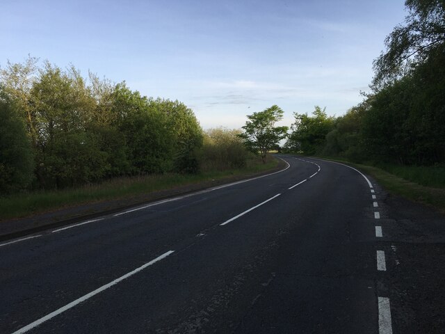
Milkhall Pond

Lake, Pool, Pond, Freshwater Marsh in Midlothian

Scotland

Milkhall Pond
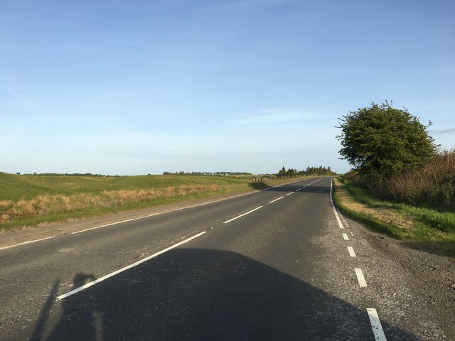
A701 near Howgate
A701 near Howgate Credit: Steven Brown

Milkhall Pond is a small freshwater pond located in Midlothian, Scotland. It covers an area of approximately 2 acres and is surrounded by lush green vegetation and trees. The pond is home to a variety of aquatic plants and wildlife, including ducks, swans, and various species of fish.

The water in Milkhall Pond is clear and clean, making it a popular spot for fishing and birdwatching. The pond is also a tranquil setting for picnics and leisurely walks, with benches positioned along the shore for visitors to sit and enjoy the peaceful surroundings.

Milkhall Pond is fed by natural springs and rainwater runoff, ensuring a constant flow of fresh water throughout the year. The pond is well-maintained by local authorities, with regular clean-ups and conservation efforts to preserve the natural habitat and ecosystem.

Overall, Milkhall Pond is a serene and picturesque location for nature enthusiasts to explore and appreciate the beauty of the Scottish countryside. Whether you're looking to relax by the water's edge or observe the diverse wildlife, Milkhall Pond offers a peaceful retreat from the hustle and bustle of everyday life.

If you have any feedback on the listing, please let us know in the comments section below.

Milkhall Pond Images

Images are sourced within 2km of 55.802564/-3.2105407 or Grid Reference NT2457. Thanks to Geograph Open Source API. All images are credited.
A701 near Howgate
A701 near Howgate
A701 south of Penicuik
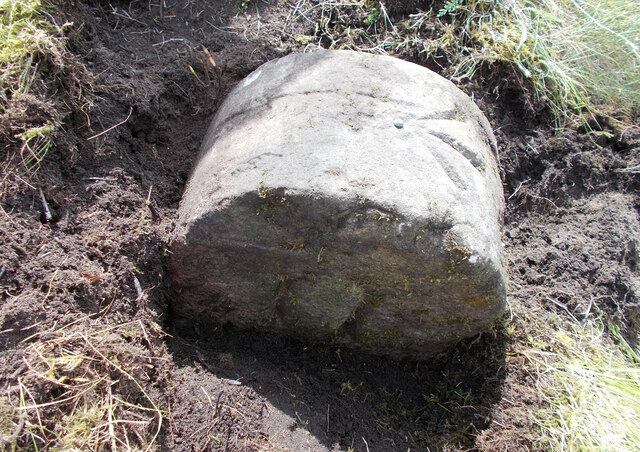
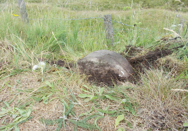
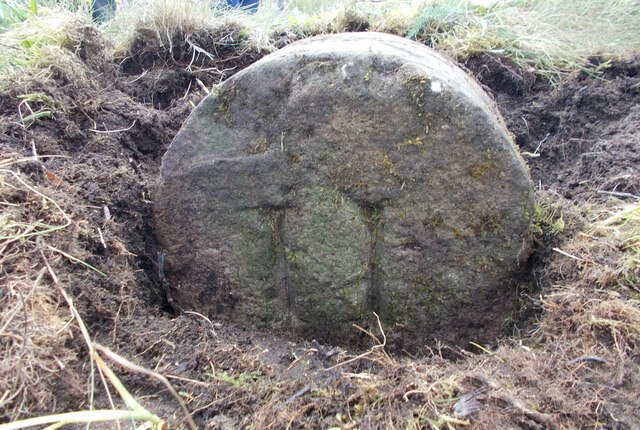
Old milestone On the A701 about 150m south of Halls Bridge over the Black Burn is this mostly buried milestone.   MS marked on an OS map initiates a search and sometimes a milestone is found hidden in the verge which has built up over many years.   But the shaped top of this stone identifies it as a milestone.
Old milestone
On the A701 about 150m south of Halls Bridge over the Black Burn is this mostly buried milestone. MS marked on an OS map initiates a search and sometimes a milestone is found hidden in the verge which has built up over many years. But the shaped top of this stone identifies it as a milestone.
Old milestone The top 30cm of this milestone on the A701 south of Halls Bridge have been dug out and reveals it is 11 miles from Edinburgh.   However the 11 face is towards the field so this stone may have been uplifted and turned round or moved from the other side of the road at some time.   The 11 is deeply incised numerals.
Old milestone
The top 30cm of this milestone on the A701 south of Halls Bridge have been dug out and reveals it is 11 miles from Edinburgh. However the 11 face is towards the field so this stone may have been uplifted and turned round or moved from the other side of the road at some time. The 11 is deeply incised numerals.
Old milestone Further investigation of the very sunken Edinburgh 11 milestone south of Hall's Bridge shows an incised OS benchmark and pin on its rounded top.
Old milestone
Further investigation of the very sunken Edinburgh 11 milestone south of Hall's Bridge shows an incised OS benchmark and pin on its rounded top.
Roundabout at Howgate
Small house View of a small house outside Howgate by the farm
Small house
View of a small house outside Howgate by the farm
Trees and a field A small copse marking the boundary of the field with just a couple of inhabitants
Trees and a field
A small copse marking the boundary of the field with just a couple of inhabitants
Peebles Railway The trackbed is barely visible here. This is looking towards Peebles from Castle Brae by Pomathorn Station.
Peebles Railway
The trackbed is barely visible here. This is looking towards Peebles from Castle Brae by Pomathorn Station.
Beeches, Pomathorn Cottage Mature beechwood in a strip beside the B6372.
Beeches, Pomathorn Cottage
Mature beechwood in a strip beside the B6372.
Field access track, Fallhills A short track through a strip wood to the fields belong.
Field access track, Fallhills
A short track through a strip wood to the fields belong.
Entrance to Howgate
Entrance to Howgate
Roundabout at Howgate
Turning for Penicuik
A701 Peebles Road near South Lodge
A701 looking south near Dykeneuk
A701 south of Wellington School
Small Tortoiseshell (Aglais urticae), Howgate One of the commonest and most widespread species of butterfly in Britain.
Small Tortoiseshell (Aglais urticae), Howgate
One of the commonest and most widespread species of butterfly in Britain.
Show me another place!

Milkhall Pond is located at Grid Ref: NT2457 (Lat: 55.802564, Lng: -3.2105407)

Unitary Authority: Midlothian

Police Authority: The Lothians and Scottish Borders

What 3 Words

///profiled.taker.subject. Near Penicuik, Midlothian

Nearby Locations

Milkhall Pond

Related Wikis

Wellington School, Midlothian

Wellington School, Midlothian, Scotland was a residential school for boys, owned by the City of Edinburgh Council and operated by the Council's Children...

Leadburn railway station

Leadburn railway station served the hamlet of Leadburn, Midlothian, Scotland from 1855 to 1962 on the Peebles Railway. == History == The station opened...

Pomathorn Halt railway station

Pomathorn Halt railway station served the town of Penicuik, Midlothian, Scotland from 1855 to 1962 on the Peebles Railway. == History == The station opened...

Uttershill Castle

Uttershill Castle is a ruinous 16th-century tower house, about 0.5 miles (0.80 km) south of Penicuik, Midlothian, Scotland, south of the river North Esk...

Nearby Amenities

Located within 500m of 55.802564,-3.2105407
Walltower
Place: locality
Source: NLS-OS-25inch-hist
Lat/Long: 55.8021724/-3.2035678
Power: pole
Lat/Long: 55.8014559/-3.2140267
Power: pole
Lat/Long: 55.8022389/-3.2143804
Power: pole
Lat/Long: 55.8028505/-3.2148982
Power: pole
Lat/Long: 55.8034637/-3.2154173
Power: pole
Lat/Long: 55.8047402/-3.2164981
Power: pole
Lat/Long: 55.804076/-3.2159357
Bench
Lat/Long: 55.8033403/-3.2110655
Barrier: stile
Lat/Long: 55.8045176/-3.2107517
Power: pole
Lat/Long: 55.799783/-3.2164547
Power: pole
Lat/Long: 55.7999236/-3.215969
Power: pole
Lat/Long: 55.80029/-3.2147202
Power: pole
Lat/Long: 55.8006043/-3.2136501
Power: pole
Lat/Long: 55.8008714/-3.2127503
Power: pole
Lat/Long: 55.8011231/-3.2119009
Power: pole
Lat/Long: 55.801487/-3.2106458
Power: pole
Lat/Long: 55.8016276/-3.2091615
Power: pole
Lat/Long: 55.8009387/-3.2089828
Power: pole
Lat/Long: 55.8023603/-3.2088882
Power: pole
Lat/Long: 55.8030232/-3.208638
Power: pole
Lat/Long: 55.8033599/-3.2078033
Power: pole
Lat/Long: 55.8038526/-3.2070885
Power: pole
Lat/Long: 55.8043513/-3.2063569
Power: pole
Lat/Long: 55.8048416/-3.205661
Power: pole
Lat/Long: 55.8053651/-3.2049525
The data included in this document is from www.openstreetmap.org. The data is made available under ODbL.

Have you been to Milkhall Pond?

Leave your review of Milkhall Pond below (or comments, questions and feedback).