Cash Loch
Lake, Pool, Pond, Freshwater Marsh in Fife
Scotland
Cash Loch
Cash Loch is a freshwater body located in the county of Fife, Scotland. It is a small lake that covers an area of approximately 16 acres, nestled in a picturesque setting surrounded by rolling hills and lush vegetation. The loch is situated near the village of Leslie, just south of the larger town of Glenrothes.
The water in Cash Loch is predominantly sourced from rainfall and local streams, ensuring a constant supply of fresh water. The lake is relatively shallow, with an average depth of around 6 feet, and its water is clear and pristine.
The area around Cash Loch is rich in biodiversity, providing a habitat for various plant and animal species. The loch itself supports a diverse range of aquatic life, including fish such as pike, perch, and roach. It is also home to a variety of waterfowl, including ducks, swans, and herons, making it a popular spot for birdwatching enthusiasts.
Surrounding the lake, there are patches of reed beds and marshy areas, which provide important nesting and feeding grounds for wetland birds. These areas are also home to a variety of plants, such as water lilies, rushes, and various species of sedges.
Cash Loch is a tranquil and serene location, offering opportunities for recreational activities such as fishing, picnicking, and leisurely walks along its shores. It is a cherished natural asset for the local community and a haven for wildlife, providing a peaceful escape from the hustle and bustle of daily life.
If you have any feedback on the listing, please let us know in the comments section below.
Cash Loch Images
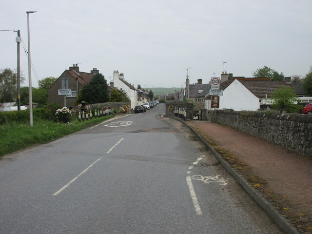
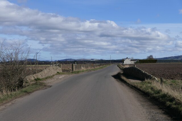
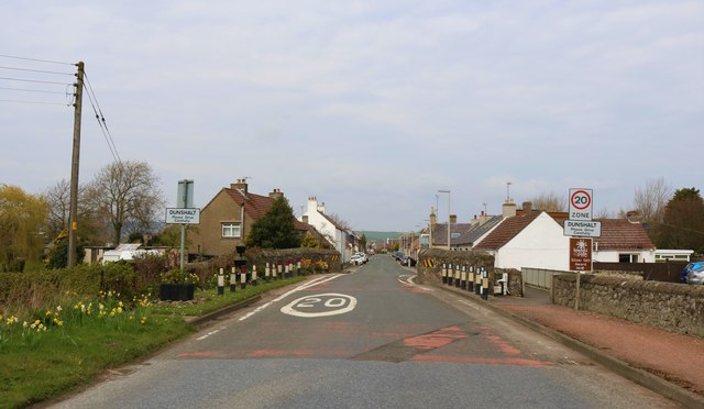
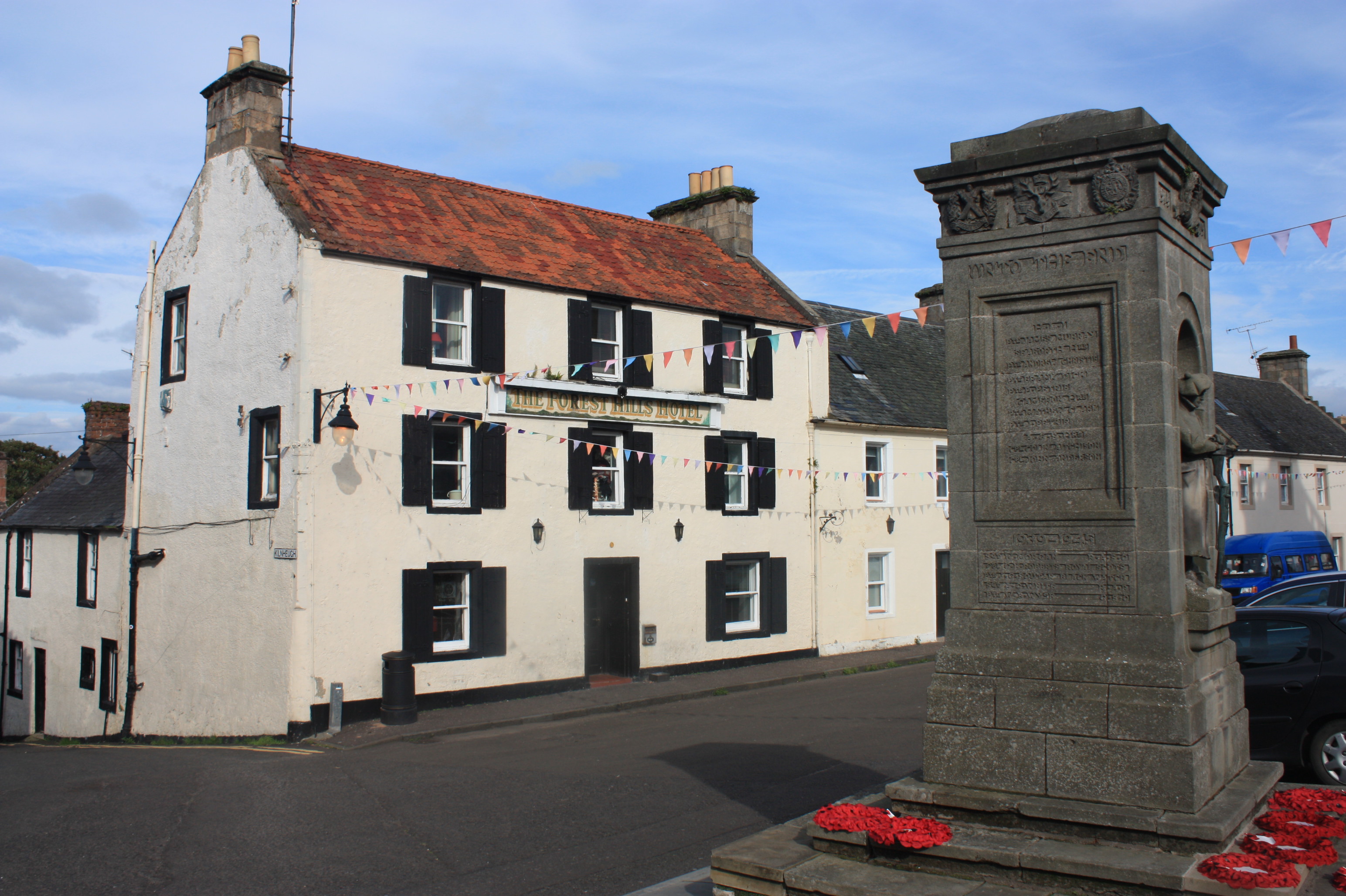
Images are sourced within 2km of 56.271365/-3.2262947 or Grid Reference NO2409. Thanks to Geograph Open Source API. All images are credited.


Cash Loch is located at Grid Ref: NO2409 (Lat: 56.271365, Lng: -3.2262947)
Unitary Authority: Fife
Police Authority: Fife
What 3 Words
///clubs.bins.chats. Near Auchtermuchty, Fife
Nearby Locations
Related Wikis

Myres Castle
Myres Castle is a Scottish castle situated in Fife near the village of Auchtermuchty. Its history is interleaved with that of nearby Falkland Palace with...

Auchtermuchty railway station
Auchtermuchty railway station served the village of Auchtermuchty, in Fife, Scotland. == History == Opened by the Fife and Kinross Railway, it became part...
Auchtermuchty
Auchtermuchty ( ; Scottish Gaelic: Uachdar Mucadaidh, 'upland of the pigs/boar') is a town in Fife, Scotland. It is beside Pitlour Hill and 9 miles (14...
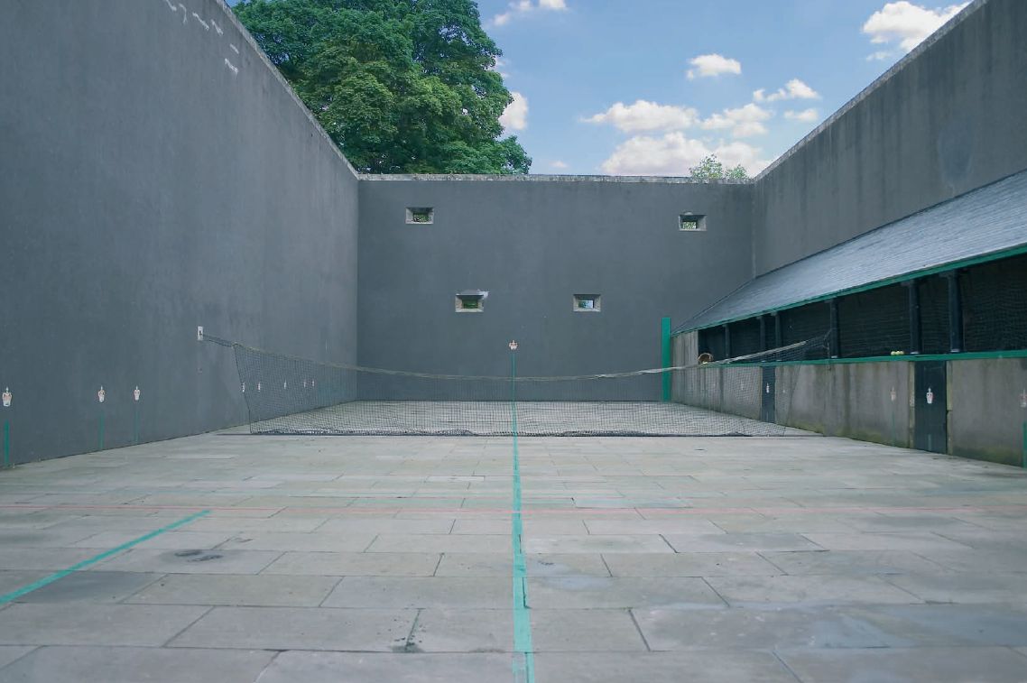
Falkland Palace Royal Tennis Club
The Falkland Palace Royal Tennis Club (also previously called the Falkland Palace Real Tennis Club) organizes play at the real tennis court in the gardens...
Nearby Amenities
Located within 500m of 56.271365,-3.2262947Have you been to Cash Loch?
Leave your review of Cash Loch below (or comments, questions and feedback).