Balgillie Reservoir

Lake, Pool, Pond, Freshwater Marsh in Fife

Scotland

Balgillie Reservoir

Gateposts to Leslie Cemetery There is a damaged Ordnance Survey benchmark on the left hand post. See <a href="https://www.geograph.org.uk/photo/6976495">NO2401 : Damaged benchmark at Leslie Cemetery</a>.
Gateposts to Leslie Cemetery Credit: Becky Williamson

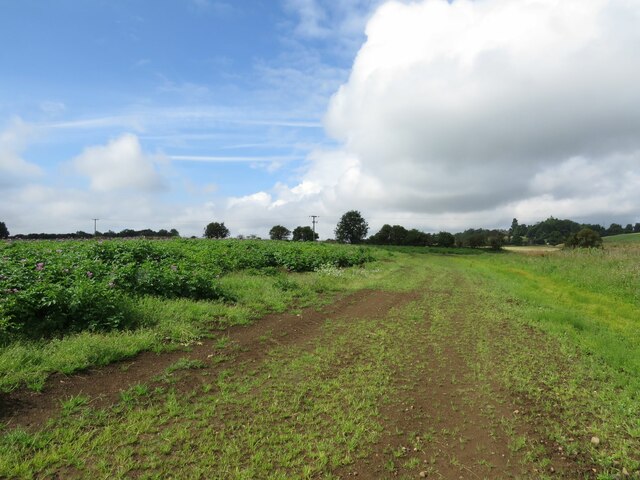
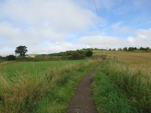
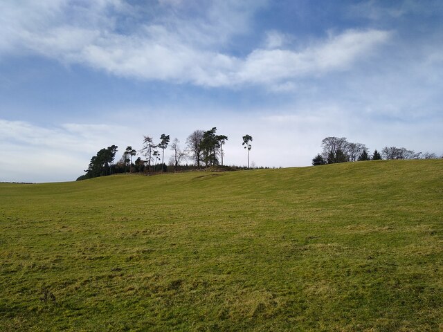
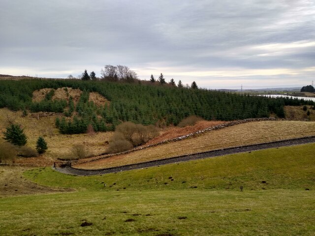
Balgillie Reservoir is a picturesque freshwater body located in Fife, Scotland. Spanning an area of approximately 30 acres, it is a popular destination for nature enthusiasts and anglers alike. Situated near the village of Leslie, the reservoir is nestled amidst rolling hills and lush greenery, providing a tranquil and scenic environment.

The reservoir serves as a vital water source for the local area, supplying clean drinking water to nearby communities. Its calm waters are fed by natural springs and precipitation, ensuring a consistent flow even during dry periods. The water quality is excellent, making it an ideal habitat for a variety of aquatic plants and animals.

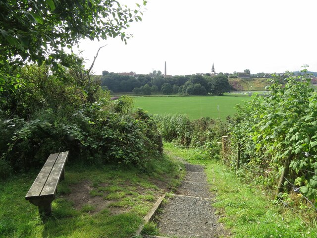
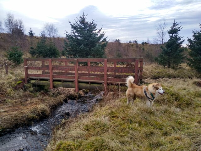
Surrounded by a diverse ecosystem, Balgillie Reservoir supports a range of wildlife. The surrounding marshes and wetlands are home to numerous bird species, including ducks, swans, and herons. Birdwatchers flock to the area to observe these magnificent creatures in their natural habitat. Additionally, the reservoir is teeming with fish, making it a popular spot for fishing enthusiasts. Anglers can expect to find species such as trout and pike, providing ample opportunities for a rewarding fishing experience.

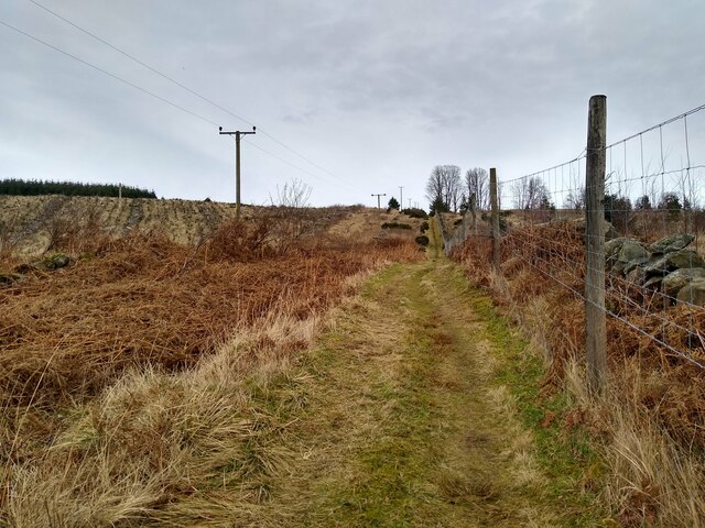
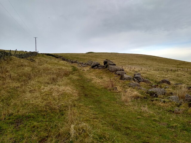
The reservoir is easily accessible, with a parking area and footpaths leading to its shores. Visitors can enjoy leisurely walks, picnic spots, and stunning views of the surrounding countryside. The tranquil ambiance and natural beauty of Balgillie Reservoir make it an ideal destination for those seeking a peaceful escape in the heart of Fife.

If you have any feedback on the listing, please let us know in the comments section below.

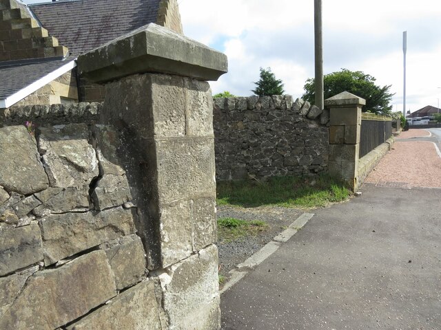
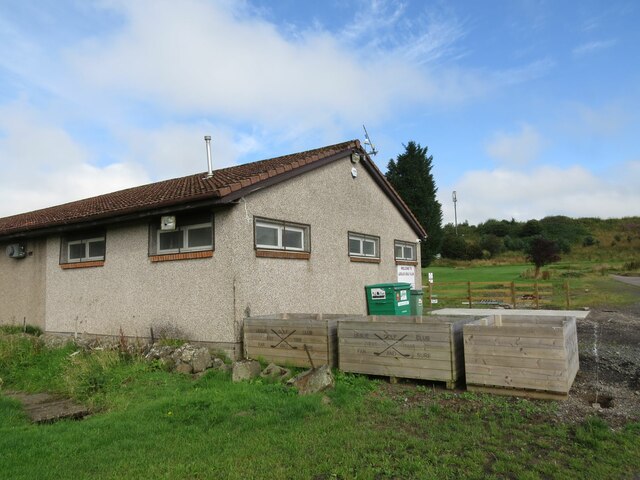
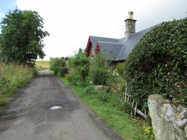
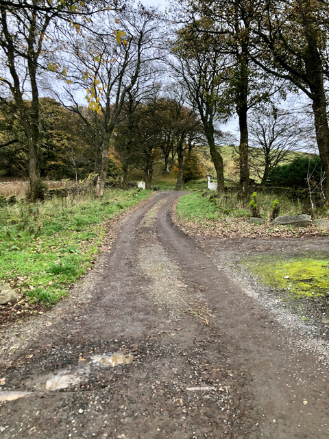
Balgillie Reservoir Images

Images are sourced within 2km of 56.219279/-3.2280171 or Grid Reference NO2303. Thanks to Geograph Open Source API. All images are credited.

Gateposts to Leslie Cemetery There is a damaged Ordnance Survey benchmark on the left hand post. See <a href="https://www.geograph.org.uk/photo/6976495">NO2401 : Damaged benchmark at Leslie Cemetery</a>.
Gateposts to Leslie Cemetery
There is a damaged Ordnance Survey benchmark on the left hand post. See NO2401 : Damaged benchmark at Leslie Cemetery.
Benchmark on #3 Maryfield Crescent, Leslie Ordnance Survey benchmark described on database at <span class="nowrap"><a title="https://www.bench-marks.org.uk/bm152766" rel="nofollow ugc noopener" href="https://www.bench-marks.org.uk/bm152766">Link</a><img style="margin-left:2px;" alt="External link" title="External link - shift click to open in new window" src="https://s1.geograph.org.uk/img/external.png" width="10" height="10"/></span>. See also <a href="https://www.geograph.org.uk/photo/6976155">NO2401 : #3 Maryfield Crescent, Leslie</a>.
Benchmark on #3 Maryfield Crescent, Leslie
Ordnance Survey benchmark described on database at LinkExternal link. See also NO2401 : #3 Maryfield Crescent, Leslie.
Bench with a view Situated near Leslie Golf Course with the rugby field in the background.
Bench with a view
Situated near Leslie Golf Course with the rugby field in the background.
#3 Maryfield Crescent, Leslie There is an Ordnance Survey benchmark on the house on the right. See <a href="https://www.geograph.org.uk/photo/6975089">NO2401 : Benchmark on #3 Maryfield Crescent, Leslie</a>.
#3 Maryfield Crescent, Leslie
There is an Ordnance Survey benchmark on the house on the right. See NO2401 : Benchmark on #3 Maryfield Crescent, Leslie.
Fields near North Lodge
Track near Roaring Hill, Leslie
Damaged benchmark at Leslie Cemetery Damaged Ordnance Survey benchmark on gatepost at Leslie Cemetery. The benchmark is described on the database at <span class="nowrap"><a title="https://www.bench-marks.org.uk/bm152767" rel="nofollow ugc noopener" href="https://www.bench-marks.org.uk/bm152767">Link</a><img style="margin-left:2px;" alt="External link" title="External link - shift click to open in new window" src="https://s1.geograph.org.uk/img/external.png" width="10" height="10"/></span>. See also <a href="https://www.geograph.org.uk/photo/6934975">NO2401 : Gateposts to Leslie Cemetery</a>.
Damaged benchmark at Leslie Cemetery
Damaged Ordnance Survey benchmark on gatepost at Leslie Cemetery. The benchmark is described on the database at LinkExternal link. See also NO2401 : Gateposts to Leslie Cemetery.
Entrance to Leslie Cemetery
Leslie Goff Club House
Benchmark, North Lodge, Strathenry Ordnance Survey benchmark, described on database at <span class="nowrap"><a title="https://www.bench-marks.org.uk/bm152817" rel="nofollow ugc noopener" href="https://www.bench-marks.org.uk/bm152817">Link</a><img style="margin-left:2px;" alt="External link" title="External link - shift click to open in new window" src="https://s1.geograph.org.uk/img/external.png" width="10" height="10"/></span>. See also <a href="https://www.geograph.org.uk/photo/6976508">NO2201 : North Lodge, Strathenry</a>.
Benchmark, North Lodge, Strathenry
Ordnance Survey benchmark, described on database at LinkExternal link. See also NO2201 : North Lodge, Strathenry.
North Lodge, Strathenry There is an Ordnance Survey benchmark on this building. See <a href="https://www.geograph.org.uk/photo/6976507">NO2201 : Benchmark, North Lodge, Strathenry</a>.
North Lodge, Strathenry
There is an Ordnance Survey benchmark on this building. See NO2201 : Benchmark, North Lodge, Strathenry.
Exit from Wester Glasslie
Track through 'woodland' Most of the few pictures of this square are taken on this little stretch of path that passes through. But that's not too bad as there is considerable change over the years. Some pictures show large trees on both sides, some only on the left side. And here it is completely barren.
Track through 'woodland'
Most of the few pictures of this square are taken on this little stretch of path that passes through. But that's not too bad as there is considerable change over the years. Some pictures show large trees on both sides, some only on the left side. And here it is completely barren.
Footbridge over Lothrie Burn The burn is coming straight down from Ballo Reservoir. A path leads from the dam of Holl Reservoir to this point, then to Ballo Reservoir and back south to the car park at Holl. The dog just tries to give a sense of scale.
Footbridge over Lothrie Burn
The burn is coming straight down from Ballo Reservoir. A path leads from the dam of Holl Reservoir to this point, then to Ballo Reservoir and back south to the car park at Holl. The dog just tries to give a sense of scale.
Group of trees above Holl Reservoir This is actually the margin of a bit of woodland that stretches into the neighbouring square.
Group of trees above Holl Reservoir
This is actually the margin of a bit of woodland that stretches into the neighbouring square.
Path towards Balgothrie This path is signposted to lead to Craigmead, and links Holl with Ballo Reservoir.
Path towards Balgothrie
This path is signposted to lead to Craigmead, and links Holl with Ballo Reservoir.
View down from the dam This picture was taken while standing on the dam of the little Drumain Reservoir.
View down from the dam
This picture was taken while standing on the dam of the little Drumain Reservoir.
The Limekiln Walk One of the marked walks on East Lomond hill
The Limekiln Walk
One of the marked walks on East Lomond hill
Show me another place!

Balgillie Reservoir is located at Grid Ref: NO2303 (Lat: 56.219279, Lng: -3.2280171)

Unitary Authority: Fife

Police Authority: Fife

What 3 Words

///botanists.souk.widget. Near Leslie, Fife

Nearby Locations

Balgillie Reservoir

Related Wikis

Lomond Hills

The Lomond Hills (meaning either beacon hills or bare hills), also known outside the locality as the Paps of Fife, are a range of hills in central Scotland...
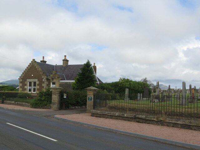
Leslie, Fife

Leslie (Scottish Gaelic: Fiodh Chill) is a large village and parish on the northern tip of the River Leven Valley, to the west of Glenrothes in Fife. According...

Leslie railway station

Leslie railway station served the village of Leslie, Fife, Scotland, from 1861 to 1932 on the Leslie Railway. == History == The station was opened on 1...

Collydean

Collydean is a precinct or neighbourhood in Glenrothes, Fife. Collydean has been built up in a number of phases. Early housing has been built into staggered...

Leslie House

Leslie House in Leslie, Fife — where several of the buildings are listed — is the largest and earliest Restoration house in Fife, Scotland, and was the...

Glenwood High School, Glenrothes

Glenwood High School is a comprehensive, co-educational and non-denominational school serving the western part of the town of Glenrothes, Fife, Scotland...

Glenrothes Hospital

Glenrothes Hospital is a health facility in Lodge Rise, Glenrothes, Scotland. It is managed by NHS Fife. == History == The facility was built in the early...

Pitcairn House

Pitcairn House is a ruined 17th century laird's house, located in the modern Collydean residential area of Glenrothes, in Fife, Scotland. Pitcairn House...

Nearby Amenities

Located within 500m of 56.219279,-3.2280171
Power: tower
Lat/Long: 56.2208522/-3.2271498
Power: tower
Lat/Long: 56.221998/-3.2227035
Power: tower
Lat/Long: 56.219805/-3.2312133
Generator Method: wind_turbine
Generator Source: wind
Power: generator
Lat/Long: 56.2164478/-3.2220306
Power: pole
Lat/Long: 56.2151121/-3.2302262
Power: pole
Lat/Long: 56.2153119/-3.2291465
Power: pole
Lat/Long: 56.215532/-3.2280669
Power: pole
Lat/Long: 56.2157486/-3.2269504
Power: pole
Lat/Long: 56.216053/-3.2258686
Power: pole
Lat/Long: 56.2163526/-3.22475
Power: pole
Lat/Long: 56.2166413/-3.2236854
Power: pole
Lat/Long: 56.2169397/-3.2223591
Power: pole
Lat/Long: 56.2171815/-3.2212751
Forth View
Board Type: sight
Check Date: 2024-03-19
Information: board
Tourism: information
Lat/Long: 56.2175616/-3.2218775
The data included in this document is from www.openstreetmap.org. The data is made available under ODbL.

Have you been to Balgillie Reservoir?

Leave your review of Balgillie Reservoir below (or comments, questions and feedback).