Gardenfoot Pool

Lake, Pool, Pond, Freshwater Marsh in Peeblesshire

Scotland

Gardenfoot Pool

New sports fields, Peebles High School Recently completed sports fields next to the site of the new High School currently under construction. The viewpoint is the track on the edge of the Cademuir plantation.
New sports fields, Peebles High School Credit: Jim Barton

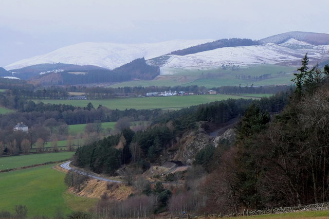
Gardenfoot Pool is a picturesque freshwater body located in Peeblesshire, Scotland. Nestled amidst rolling hills and lush greenery, this natural marvel has long been a haven for both wildlife enthusiasts and those seeking tranquility in nature.

Covering an area of approximately 10 acres, Gardenfoot Pool is a diverse ecosystem that comprises a lake, pool, pond, and freshwater marsh. The pool itself is the main feature, characterized by its calm, reflective surface that mirrors the surrounding landscape. It is surrounded by a gently sloping shore, adorned with a variety of vegetation including reeds, rushes, and water lilies.

The pool seamlessly transitions into a shallow lake, which serves as a habitat for various aquatic plants and animals. This section of Gardenfoot Pool is often frequented by waterfowl such as ducks, geese, and swans, which gracefully glide across the water or nestle among the tall grasses at the water's edge.

Adjacent to the lake is a small pond, which is home to a diverse range of amphibians, including frogs and newts. This area provides an ideal breeding ground for these creatures, with its calm, sheltered waters and ample vegetation.

Towards the eastern side of Gardenfoot Pool lies a freshwater marsh, characterized by its wet, marshy terrain and rich biodiversity. This marshland supports a wide array of plant species, including sedges, reeds, and rushes, which provide food and shelter for a plethora of insects, birds, and small mammals.

Gardenfoot Pool's tranquil ambiance, combined with its diverse ecosystem, makes it a popular destination for nature lovers and photographers. Whether it is birdwatching, exploring the marsh, or simply enjoying the serenity of the landscape, this hidden gem in Peeblesshire offers a memorable experience for all who visit.

If you have any feedback on the listing, please let us know in the comments section below.

Gardenfoot Pool Images

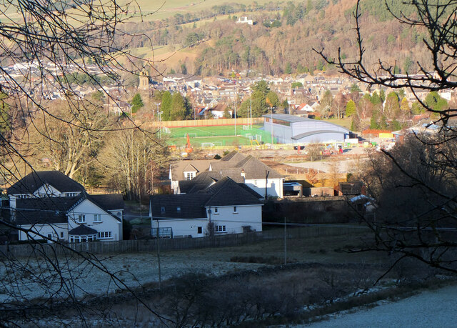
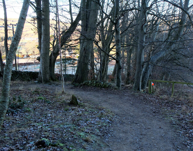
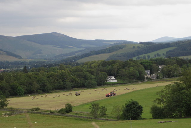
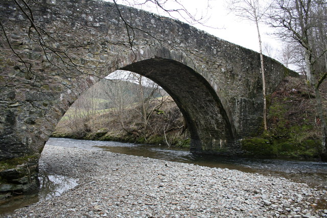
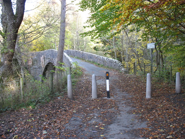
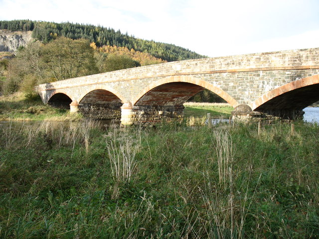
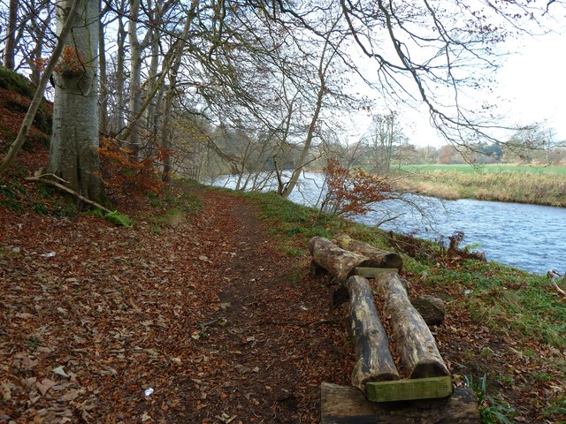
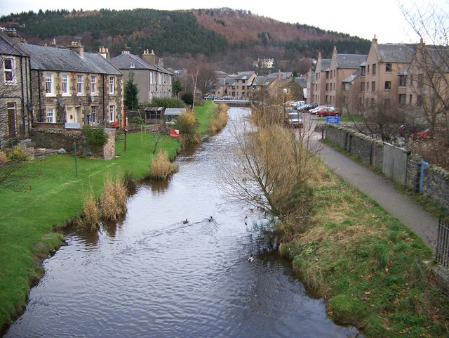
Images are sourced within 2km of 55.651309/-3.2129246 or Grid Reference NT2340. Thanks to Geograph Open Source API. All images are credited.

New sports fields, Peebles High School Recently completed sports fields next to the site of the new High School currently under construction. The viewpoint is the track on the edge of the Cademuir plantation.
New sports fields, Peebles High School
Recently completed sports fields next to the site of the new High School currently under construction. The viewpoint is the track on the edge of the Cademuir plantation.
Path to Craigerne A path through a strip wood to the houses at Craigerne on the south edge of Peebles. Note the orienteering marker at the fence corner.
Path to Craigerne
A path through a strip wood to the houses at Craigerne on the south edge of Peebles. Note the orienteering marker at the fence corner.
Plaque on the Manor Bridge over the Tweed The plaque is on the SW side of the bridge. Its lettering is not too clear, but reads:

THIS BRIDGE
ERECTED BY THE COUNTY AND PRIVATE SUBSCRIBERS
WAS OPENED BY
MISS PRINGLE KIDD OF WOODHOUSE
AND NAMED BY HER
MANOR BRIDGE
20TH MARCH 1883
Plaque on the Manor Bridge over the Tweed
The plaque is on the SW side of the bridge. Its lettering is not too clear, but reads: THIS BRIDGE ERECTED BY THE COUNTY AND PRIVATE SUBSCRIBERS WAS OPENED BY MISS PRINGLE KIDD OF WOODHOUSE AND NAMED BY HER MANOR BRIDGE 20TH MARCH 1883
Cutting hay at Edderston near Peebles The red tractor is pulling the baling machine, and two more tractors are loading and carting the bales to the farm nearby. Left of centre is a flock of blackheaded gulls that have been feeding on the cut field. Lee Pen is the hill in the background.
Cutting hay at Edderston near Peebles
The red tractor is pulling the baling machine, and two more tractors are loading and carting the bales to the farm nearby. Left of centre is a flock of blackheaded gulls that have been feeding on the cut field. Lee Pen is the hill in the background.
Manor Brig 18th Century bridge, Manor, Peebles.
Manor Brig
18th Century bridge, Manor, Peebles.
Old Manor Brig, built 1702 This bridge over Manor Water is now structurally unsound, and is open only to pedestrians and cyclists. Vehicular traffic crosses the Tweed nearby, and reaches Peebles on the north side of that river.
Old Manor Brig, built 1702
This bridge over Manor Water is now structurally unsound, and is open only to pedestrians and cyclists. Vehicular traffic crosses the Tweed nearby, and reaches Peebles on the north side of that river.
Manor Bridge This elegant bridge over the River Tweed was built in 1873 to serve the Manor valley, a cul-de-sac about 8 miles long. Prior to that, access was via the Old Manor Brig <a href="https://www.geograph.org.uk/photo/2694754">NT2339 : Old Manor Brig, built 1702</a>, now closed to all except pedestrians and cyclists, and a minor road to Peebles by way of Manor Sware.
Manor Bridge
This elegant bridge over the River Tweed was built in 1873 to serve the Manor valley, a cul-de-sac about 8 miles long. Prior to that, access was via the Old Manor Brig NT2339 : Old Manor Brig, built 1702, now closed to all except pedestrians and cyclists, and a minor road to Peebles by way of Manor Sware.
Log Seat A log seat by the River Tweed nestling in a bed of fallen leaves.  A good place to sit on a fine day and watch salmon leaping.
Log Seat
A log seat by the River Tweed nestling in a bed of fallen leaves. A good place to sit on a fine day and watch salmon leaping.
Road signs near Edderston The Old Manor Brig has been closed to vehicles with apparently little prospect of re-opening, so these new signs clarify the access along the minor road past Edderston farm to the Manor Sware car parks.
Road signs near Edderston
The Old Manor Brig has been closed to vehicles with apparently little prospect of re-opening, so these new signs clarify the access along the minor road past Edderston farm to the Manor Sware car parks.
Winter approaching, Tweeddale Looking from Manor Sware across Edston Quarry and the A72 towards Haswellsykes farm (centre) and snow on the Stobo hills.
Winter approaching, Tweeddale
Looking from Manor Sware across Edston Quarry and the A72 towards Haswellsykes farm (centre) and snow on the Stobo hills.
Orienteering marker, Tantah An orienteering symbol on a small outcrop by the path contouring Cademuir above Tantah. I have walked past this several dozen times without noticing it. There are several such symbols in places around Peebles.
Orienteering marker, Tantah
An orienteering symbol on a small outcrop by the path contouring Cademuir above Tantah. I have walked past this several dozen times without noticing it. There are several such symbols in places around Peebles.
Muddy path, Craigerne Path through a strip of woodland to the houses at Craigerne, soft and muddy after the stormy weather of the last two days.
Muddy path, Craigerne
Path through a strip of woodland to the houses at Craigerne, soft and muddy after the stormy weather of the last two days.
Craigerne Drive, Peebles Viewed on a bright late-March afternoon.
Craigerne Drive, Peebles
Viewed on a bright late-March afternoon.
Edderston Road, Peebles An attractive housing area on the edge of Peebles, viewed in late-March sunshine.
Edderston Road, Peebles
An attractive housing area on the edge of Peebles, viewed in late-March sunshine.
Bonnington Road, Peebles Viewed in late-March sunshine.
Bonnington Road, Peebles
Viewed in late-March sunshine.
Lane between houses, Springhill Road Peebles A short cut between Springhill Road and Springwood Terrace; Victoria Park is in view below.
Lane between houses, Springhill Road Peebles
A short cut between Springhill Road and Springwood Terrace; Victoria Park is in view below.
Replacing the gas mains, Peebles (1) Gas mains are being replaced in southern Peebles, here on Springwood Road opposite the High School.
Replacing the gas mains, Peebles (1)
Gas mains are being replaced in southern Peebles, here on Springwood Road opposite the High School.
Replacing the gas mains, Peebles (2) Road works for replacing gas mains in southern Peebles, here in Springwood Terrace.
Replacing the gas mains, Peebles (2)
Road works for replacing gas mains in southern Peebles, here in Springwood Terrace.
Show me another place!

Gardenfoot Pool is located at Grid Ref: NT2340 (Lat: 55.651309, Lng: -3.2129246)

Unitary Authority: The Scottish Borders

Police Authority: The Lothians and Scottish Borders

What 3 Words

///insolvent.answers.jaundice. Near Peebles, Scottish Borders

Related Wikis

Neidpath Castle

Neidpath Castle is an L-plan rubble-built tower house, overlooking the River Tweed about 1 mile (1.6 km) west of Peebles in the Borders of Scotland. The...

Neidpath Viaduct

Neidpath Viaduct, occasionally known as the Queen's Bridge, consists of eight stone skew arches and was built to carry the Symington to Peebles branch...

Hay Lodge Hospital

Hay Lodge Hospital is a health facility at Neidpath Road in Peebles, Scotland. It is managed by NHS Borders. Hay Lodge is a Category B listed building...

Eddleston Water

Eddleston Water is a small river north of Peebles, in the Scottish Borders area of Scotland which joins the River Tweed at Peebles. It is also known locally...

Nearby Amenities

Located within 500m of 55.651309,-3.2129246
Bus Stop
Neidpath Castle
Bus: yes
Naptan AtcoCode: 69001695
Naptan Bearing: W
Naptan CommonName: Neidpath Castle
Naptan Indicator: at
Naptan Landmark: Neidpath Castle
Naptan NaptanCode: 72798962
Naptan Street: A72
Operator: Scottish Borders Council
Public Transport: platform
Ref: 69001695
Source: NaPTAN
Lat/Long: 55.6527509/-3.211993
Bus Stop
Neidpath Castle
Bus: yes
Naptan AtcoCode: 69001696
Naptan Bearing: E
Naptan CommonName: Neidpath Castle
Naptan Indicator: opp
Naptan Landmark: Neidpath Castle
Naptan NaptanCode: 72798963
Naptan Street: A72
Operator: Scottish Borders Council
Public Transport: platform
Ref: 69001696
Source: NaPTAN
Lat/Long: 55.6527895/-3.2118711
Lady's Well
Canmore ID: 51548
Natural: spring
Website: http://canmore.rcahms.gov.uk/en/site/51548/details/lady+s+well+castle+banks/
Lat/Long: 55.6530826/-3.2173004
Bench
Backrest: yes
Colour: green
Lat/Long: 55.6516856/-3.2099314
Bench
Backrest: no
Material: wood
Lat/Long: 55.6513823/-3.220366
Bench
Backrest: yes
Colour: green
Lat/Long: 55.6526244/-3.2081612
Bench
Backrest: yes
Colour: green
Material: wood
Lat/Long: 55.6516767/-3.2055841
Waste Basket
Lat/Long: 55.6512519/-3.2051752
Waste Basket
Lat/Long: 55.6514096/-3.209113
Baby: yes
Playground: swing
Lat/Long: 55.6511036/-3.2074378
Playground: swing
Lat/Long: 55.6511037/-3.2074218
Playground: swing
Lat/Long: 55.6511038/-3.2074057
Baby: yes
Playground: swing
Lat/Long: 55.6511035/-3.2074539
Playground: basketswing
Lat/Long: 55.6511621/-3.2075492
Playground: slide
Lat/Long: 55.651212/-3.207407
Playground: monkey_bar
Lat/Long: 55.651209/-3.2074606
Playground: structure
Lat/Long: 55.6511946/-3.2074378
Playground: springy
Lat/Long: 55.6511863/-3.2073399
Playground: structure
Lat/Long: 55.6511212/-3.2072367
Playground: slide
Lat/Long: 55.6511159/-3.2071938
Playground: roundabout
Lat/Long: 55.6511901/-3.2072622
Playground: basketswing
Lat/Long: 55.6512211/-3.20712
Playground: rocker
Lat/Long: 55.651156/-3.2070583
Leisure: picnic_table
Lat/Long: 55.6510978/-3.2070369
Traffic Signals
Traffic Signals: signal
Lat/Long: 55.6522905/-3.2205397
Traffic Signals
Traffic Signals: signal
Lat/Long: 55.6528587/-3.2167591
Access: no
Description: Location of ford, which is used during the Riding of The Marches, in the third week in June; which is a part of Peebles Beltane Festival.
Ford: yes
Seasonal: yes
Lat/Long: 55.6508004/-3.206553
Bench
Lat/Long: 55.6513701/-3.2070861
Bench
Lat/Long: 55.6514025/-3.2065265
Bench
Lat/Long: 55.6507841/-3.2077346
Bench
Lat/Long: 55.6525202/-3.2053432
Direction: 270;90
Maxspeed: 60 mph;30 mph
Traffic Sign: maxspeed
Lat/Long: 55.6527851/-3.2058094
Direction: 270;90
Maxspeed: 60 mph;30 mph
Traffic Sign: maxspeed
Lat/Long: 55.6527016/-3.2057979
Golf: pin
Lat/Long: 55.6543961/-3.213387
Golf: pin
Lat/Long: 55.6553936/-3.2117567
Golf: pin
Lat/Long: 55.6540995/-3.2089627
Golf: pin
Lat/Long: 55.6541608/-3.213442
Power: pole
Lat/Long: 55.6508486/-3.2205165
Power: pole
Lat/Long: 55.6511855/-3.2196419
Power: pole
Lat/Long: 55.651539/-3.2187841
Power: pole
Lat/Long: 55.6515793/-3.2173208
Power: pole
Lat/Long: 55.6516707/-3.2159396
The data included in this document is from www.openstreetmap.org. The data is made available under ODbL.

Have you been to Gardenfoot Pool?

Leave your review of Gardenfoot Pool below (or comments, questions and feedback).