Broadcrag Tarn
Lake, Pool, Pond, Freshwater Marsh in Cumberland Copeland
England
Broadcrag Tarn

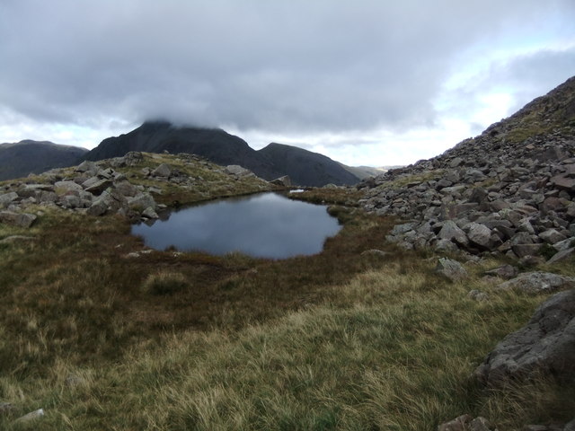
Broadcrag Tarn is a stunning freshwater lake located in the county of Cumberland, England. Nestled amidst the picturesque landscape of the Lake District National Park, this tranquil body of water is a popular destination for nature enthusiasts and outdoor lovers.
Covering an area of approximately 5 acres, Broadcrag Tarn boasts crystal-clear waters that reflect the surrounding green hills and dense forests, creating a mesmerizing sight. The tarn is fed by several small streams, ensuring a constant flow of fresh water and maintaining its pristine condition.
Surrounded by a diverse range of flora and fauna, Broadcrag Tarn supports a healthy ecosystem. The marshy areas around the lake provide a perfect habitat for various aquatic plants, including reeds, lilies, and water milfoil. These plants not only enhance the visual appeal of the tarn but also provide shelter and food for numerous species of birds, insects, and small mammals.
The lake is home to a variety of fish species, such as trout and perch, making it a popular destination for anglers. Fishing permits are available for visitors who wish to try their hand at catching these elusive creatures.
Broadcrag Tarn offers a peaceful haven for those seeking solitude and a chance to reconnect with nature. Its tranquil ambiance and breathtaking scenery make it an ideal spot for picnics, photography, and leisurely walks. The surrounding hills also provide ample opportunities for hiking and exploring the surrounding landscape.
Overall, Broadcrag Tarn is a hidden gem within the Lake District, offering visitors a serene and natural retreat away from the hustle and bustle of everyday life.
If you have any feedback on the listing, please let us know in the comments section below.
Broadcrag Tarn Images
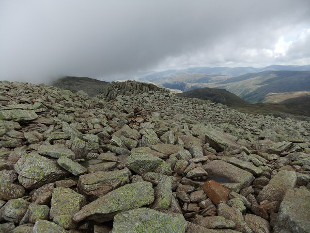
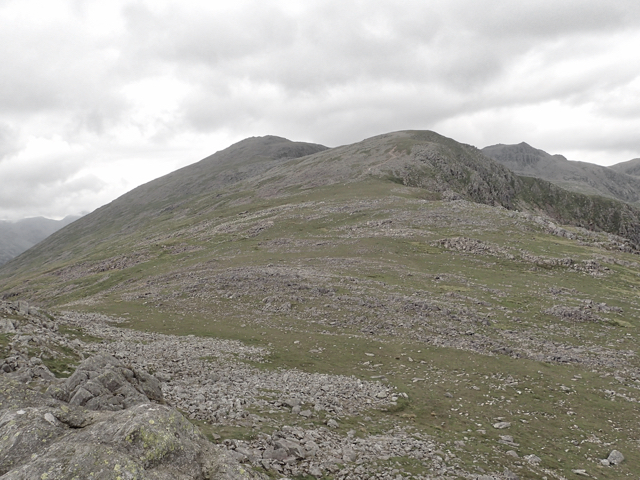
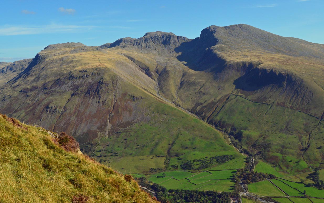
Images are sourced within 2km of 54.451454/-3.2151684 or Grid Reference NY2106. Thanks to Geograph Open Source API. All images are credited.


Broadcrag Tarn is located at Grid Ref: NY2106 (Lat: 54.451454, Lng: -3.2151684)
Administrative County: Cumbria
District: Copeland
Police Authority: Cumbria
What 3 Words
///wobbling.wins.motorist. Near Ambleside, Cumbria
Nearby Locations
Related Wikis

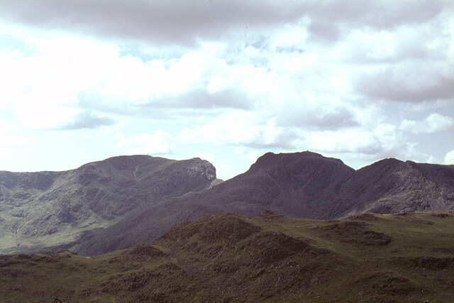
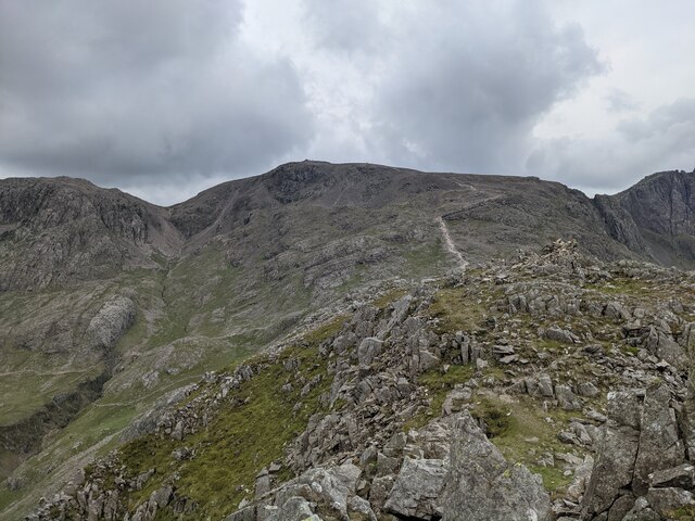
Mickledore
Mickledore (the name means great door or pass) is a narrow ridge, 840 metres (2755 ft) high, connecting the mountains of Scafell and Scafell Pike in the...
Scafell Pike
Scafell Pike () is a mountain in the Lake District region of Cumbria, England. It has an elevation of 978 metres (3,209 ft) above sea level, making it...

Scafell
Scafell ( or ; also spelled Sca Fell, previously Scawfell) is a mountain in the Lake District region of Cumbria, England. It has a height of 964 metres...

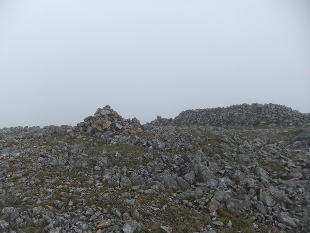
Broad Crag
Broad Crag is a fell in the English Lake District. It is the fifth-highest peak in England at a height of 3,064 feet (934 metres). The mountain was gifted...
Nearby Amenities
Located within 500m of 54.451454,-3.2151684Have you been to Broadcrag Tarn?
Leave your review of Broadcrag Tarn below (or comments, questions and feedback).