Bonaly Reservoir

Lake, Pool, Pond, Freshwater Marsh in Midlothian

Scotland

Bonaly Reservoir

Winter wheat at Kinleith Nicely germinated, and looking up the slope to the Whiteside Plantation.
Winter wheat at Kinleith Credit: M J Richardson

Bonaly Reservoir is a freshwater lake located in the Midlothian region of Scotland. Situated in the Pentland Hills, approximately six miles southwest of the city of Edinburgh, it is a popular destination for locals and tourists alike.

Covering an area of around 70 acres, Bonaly Reservoir is surrounded by picturesque rolling hills and offers stunning views of the surrounding countryside. The reservoir serves as a vital water supply for the nearby city of Edinburgh, providing clean and fresh water to its residents.

The reservoir is formed by a dam that was constructed across the Bonaly Burn, a small stream that flows through the area. The dam not only creates the lake but also regulates the water flow to maintain a stable water level throughout the year.

Bonaly Reservoir is a haven for wildlife enthusiasts, as it supports a diverse range of plant and animal species. The surrounding woodlands provide habitat for various bird species, including herons, ducks, and swans, making it a popular spot for birdwatching. Additionally, the lake is home to several species of fish, such as brown trout and pike, making it a great spot for fishing.

The reservoir also offers recreational activities for visitors, including walking trails and picnic areas. Many people enjoy exploring the surrounding hills and taking in the natural beauty of the area. The calm and serene atmosphere of Bonaly Reservoir makes it an ideal place to relax and unwind, away from the hustle and bustle of city life.

In conclusion, Bonaly Reservoir is a beautiful freshwater lake located in Midlothian, Scotland. With its scenic surroundings, diverse wildlife, and recreational opportunities, it is a must-visit destination for nature lovers and outdoor enthusiasts.

If you have any feedback on the listing, please let us know in the comments section below.

Bonaly Reservoir Images

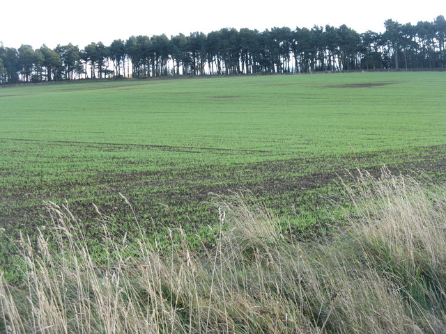
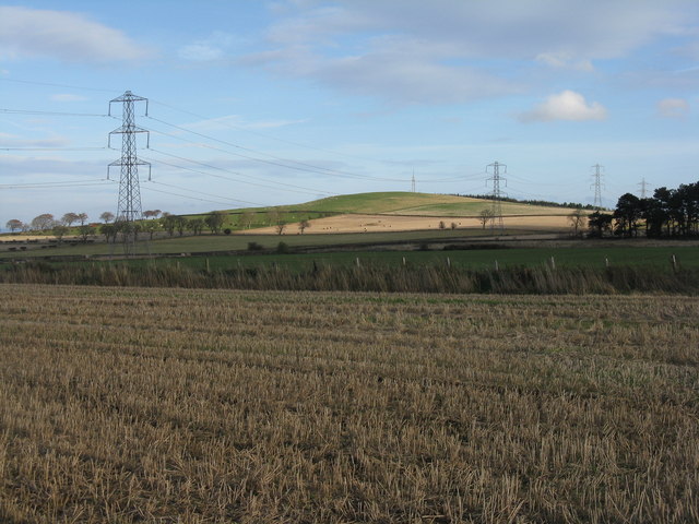
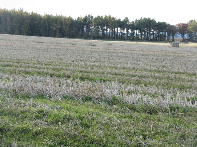
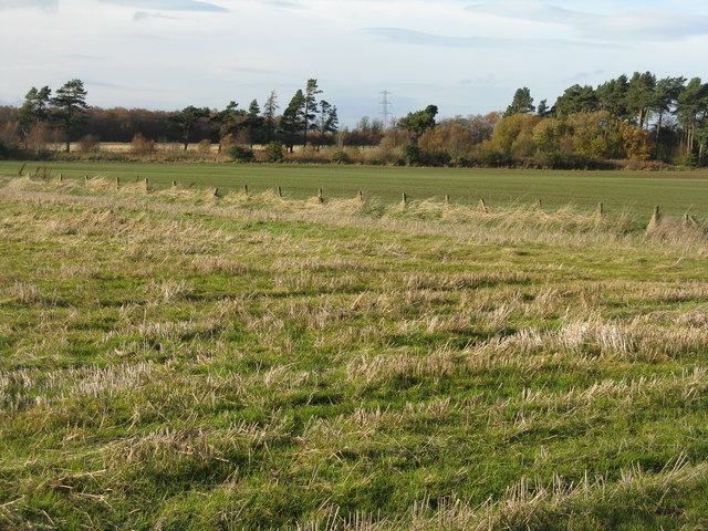
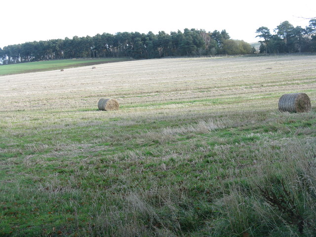
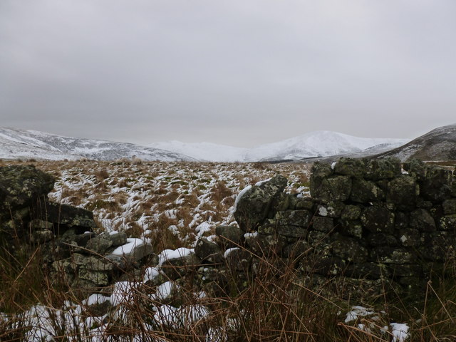
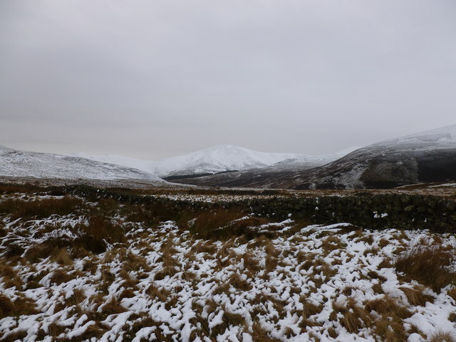
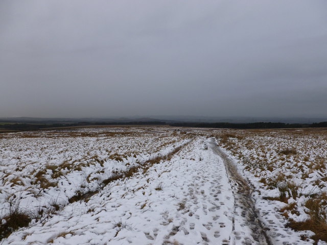
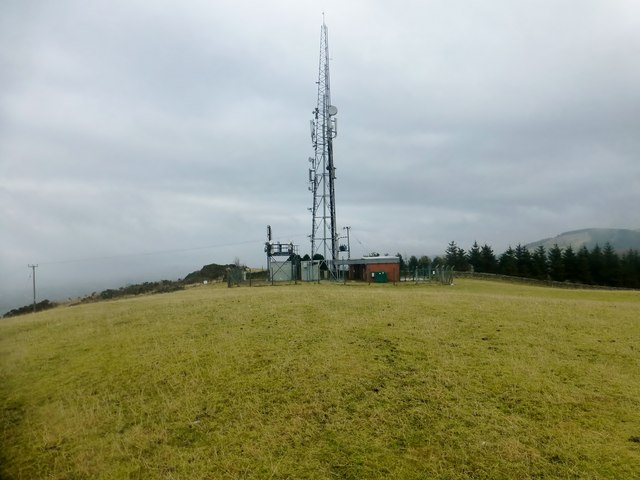
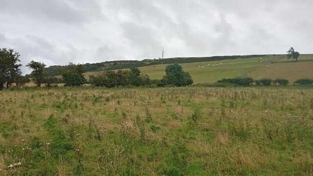
Images are sourced within 2km of 55.881834/-3.2643065 or Grid Reference NT2166. Thanks to Geograph Open Source API. All images are credited.

Winter wheat at Kinleith Nicely germinated, and looking up the slope to the Whiteside Plantation.
Winter wheat at Kinleith
Nicely germinated, and looking up the slope to the Whiteside Plantation.
Winter wheat at Kinleith Last harvest's stubble in the foreground and next year's crop just emerging in the field beyond. Capelaw Hill on the skyline, under some nice lenticular or wave clouds.
Winter wheat at Kinleith
Last harvest's stubble in the foreground and next year's crop just emerging in the field beyond. Capelaw Hill on the skyline, under some nice lenticular or wave clouds.
Farmland at Easter Kinleith Barley stubbles and pasture, leading up to Warklaw Hill.
Farmland at Easter Kinleith
Barley stubbles and pasture, leading up to Warklaw Hill.
Barley stubble at Kinleith With a pine and larch shelter belt running along the line of the Kinleith Burn.
Barley stubble at Kinleith
With a pine and larch shelter belt running along the line of the Kinleith Burn.
Farmland at Kinleith Looking west across barley stubble to a gappy shelter belt.
Farmland at Kinleith
Looking west across barley stubble to a gappy shelter belt.
Tramlines in winter wheat At Kinleith above Currie, which is on the outskirts of Edinburgh, where they have the same situation - tram lines, but no trams. Here, though, their absence is intentional.
Tramlines in winter wheat
At Kinleith above Currie, which is on the outskirts of Edinburgh, where they have the same situation - tram lines, but no trams. Here, though, their absence is intentional.
November poppy in the barley stubble A Field Poppy [Papaver rhoeas] at Kinleith above Currie, in the foothills of the Pentlands.
November poppy in the barley stubble
A Field Poppy [Papaver rhoeas] at Kinleith above Currie, in the foothills of the Pentlands.
Whiteside Plantations Coniferous shelterbelts in the Pentland Hills, with barley stubble in the foreground and next year's winter wheat in the distance.
Whiteside Plantations
Coniferous shelterbelts in the Pentland Hills, with barley stubble in the foreground and next year's winter wheat in the distance.
Gap in the wall, Craigentarrie Looking towards a distant snow-covered Turnhouse Hill and Carnethy Hill.
Gap in the wall, Craigentarrie
Looking towards a distant snow-covered Turnhouse Hill and Carnethy Hill.
Moorland and drystane dyke, Craigentarrie Looking towards Maiden's Cleuch, part of the ancient Clochmead route between Harlaw and Glencorse.
Moorland and drystane dyke, Craigentarrie
Looking towards Maiden's Cleuch, part of the ancient Clochmead route between Harlaw and Glencorse.
Clochmead path between Harlaw and Glencorse A thin covering snow on the moorland below the Pentland Hills.
Clochmead path between Harlaw and Glencorse
A thin covering snow on the moorland below the Pentland Hills.
Clubbiedean Reservoir Inflow at the western end of the reservoir
Clubbiedean Reservoir
Inflow at the western end of the reservoir
Warklaw Hill Turned into Torphin Road to park before using the right of way to gain the sheep pasture to the west of the quarry. No walls or fences were climbed to bag this TUMP.
Name: Warklaw Hill
Hill number: 14149
Height: 278m / 912ft
Parent (Ma/M): 1816  Allermuir Hill
Section: 28A: Firth of Forth to the River Tweed
County/UA: Edinburgh (UA)
Class: Tump (200-299m)
Grid ref: NT 19856 67356
Summit feature: no feature: ground SW of mast
Drop: 44m
Col: 234m
Warklaw Hill
Turned into Torphin Road to park before using the right of way to gain the sheep pasture to the west of the quarry. No walls or fences were climbed to bag this TUMP. Name: Warklaw Hill Hill number: 14149 Height: 278m / 912ft Parent (Ma/M): 1816 Allermuir Hill Section: 28A: Firth of Forth to the River Tweed County/UA: Edinburgh (UA) Class: Tump (200-299m) Grid ref: NT 19856 67356 Summit feature: no feature: ground SW of mast Drop: 44m Col: 234m
Track to Clubbiedean Reservoir The track continues via Torduff to Bonaly with an alternative path linking with the track up to Bonaly Reservoir.
Track to Clubbiedean Reservoir
The track continues via Torduff to Bonaly with an alternative path linking with the track up to Bonaly Reservoir.
Clubbiedean Reservoir A small reservoir opened in 1850, dammed at its NE end, and now managed as a trout fishery. It lies within the Bonaly Country Park.
Clubbiedean Reservoir
A small reservoir opened in 1850, dammed at its NE end, and now managed as a trout fishery. It lies within the Bonaly Country Park.
View towards Warklaw Hill The summit of this 278 metre hill is just to the right of the mobile phone mast in the centre of the picture, and the hill itself is situated at the NorthWestern edge of the Pentland Hills. According to the best available online source, the hill gets its name from the iron age fort mounds on the South side of the nearby Clubbiedean Reservoir. Apparently 'wark' is a Scots spelling of work, which in this case signifies a man-made structure - earthworks in this instance. It is a plausible theory, but still feels a bit tenuous to me.
Somewhere beneath the patches of gorse ahead, remains of platforms used for decoy fires during the Second World War were fairly recently found. I have no idea if traces still remain as I only read about this on my return. They were officially called Starfish Decoy Sites (nobody seems too sure why) and there were over 200 of them across Britain. They were quite elaborate affairs by the sound of it, and their purpose was to trick the Luftwaffe into thinking that they were bombing the town or city nearby. Once there had been an actual hit on a place, these sites would spring into action, starting fires and activating lights and flares to mimic the nearby burning settlement for those looking from above. They had to be based within four miles of the town or city, and be a mile away from any houses, for obvious reasons! Similar tactics were used near shipyards, munitions factories and the likes.
View towards Warklaw Hill
The summit of this 278 metre hill is just to the right of the mobile phone mast in the centre of the picture, and the hill itself is situated at the NorthWestern edge of the Pentland Hills. According to the best available online source, the hill gets its name from the iron age fort mounds on the South side of the nearby Clubbiedean Reservoir. Apparently 'wark' is a Scots spelling of work, which in this case signifies a man-made structure - earthworks in this instance. It is a plausible theory, but still feels a bit tenuous to me. Somewhere beneath the patches of gorse ahead, remains of platforms used for decoy fires during the Second World War were fairly recently found. I have no idea if traces still remain as I only read about this on my return. They were officially called Starfish Decoy Sites (nobody seems too sure why) and there were over 200 of them across Britain. They were quite elaborate affairs by the sound of it, and their purpose was to trick the Luftwaffe into thinking that they were bombing the town or city nearby. Once there had been an actual hit on a place, these sites would spring into action, starting fires and activating lights and flares to mimic the nearby burning settlement for those looking from above. They had to be based within four miles of the town or city, and be a mile away from any houses, for obvious reasons! Similar tactics were used near shipyards, munitions factories and the likes.
Clubbiedean Hillfort Earthworks This is a scheduled monument and those in the know seem to agree that it is the remains of an Iron Age, or late prehistoric (as the Iron Age sometimes gets called) hillfort. It is fairly unusual for being quite so visible at ground level - a lot of these old sites marked on maps are very hard to distinguish from their surroundings when you get there. Drones are the best way to see them properly I have been told.
The official Historic Scotland write-up is very poorly written and the depiction on the map is a bit confusing (to me anyway, maybe I don't quite get the triangles they use!), but after reading a few descriptions from various sources it seems that there was an inner and outer wall originally, which can plainly he seen here. The picture was taken from the small wood on the South side of Clubbiedean Reservoir - the map shows banks and ditches inside the wood but my untrained eye didn't spot anything obvious.
The Iron Age was quite long, from 800BC to 43AD, when the Romans took over. But not as long, strangely, as the mediaeval period, which went from about 400 to 1450.
Clubbiedean Hillfort Earthworks
This is a scheduled monument and those in the know seem to agree that it is the remains of an Iron Age, or late prehistoric (as the Iron Age sometimes gets called) hillfort. It is fairly unusual for being quite so visible at ground level - a lot of these old sites marked on maps are very hard to distinguish from their surroundings when you get there. Drones are the best way to see them properly I have been told. The official Historic Scotland write-up is very poorly written and the depiction on the map is a bit confusing (to me anyway, maybe I don't quite get the triangles they use!), but after reading a few descriptions from various sources it seems that there was an inner and outer wall originally, which can plainly he seen here. The picture was taken from the small wood on the South side of Clubbiedean Reservoir - the map shows banks and ditches inside the wood but my untrained eye didn't spot anything obvious. The Iron Age was quite long, from 800BC to 43AD, when the Romans took over. But not as long, strangely, as the mediaeval period, which went from about 400 to 1450.
Clubbiedean Reservoir One of the earlier Edinburgh reservoirs.
Clubbiedean Reservoir
One of the earlier Edinburgh reservoirs.
Show me another place!

Bonaly Reservoir is located at Grid Ref: NT2166 (Lat: 55.881834, Lng: -3.2643065)

Unitary Authority: City of Edinburgh

Police Authority: Edinburgh

What 3 Words

///plans.chew.pencil. Near Colinton, Edinburgh

Nearby Locations

Bonaly Reservoir

Related Wikis

Bonaly

Bonaly () is an area on the south-western outskirts of Edinburgh and the northern slopes of the Pentland Hills, lying within the Parish of Colinton. It...

Torphin

Torphin ( tor-FIN) is a small area in the south-west of Edinburgh, Scotland, with its name deriving from the nearby Torphin Hill. It lies just south of...

Glencorse Reservoir

Glencorse Reservoir is a reservoir in Midlothian, Scotland, two miles west of Glencorse, in the Pentland Hills. It is retained by an earth dam, and it...

Caerketton Hill

Caerketton Hill is a hill in the Pentland Hills range of Scotland. Standing at 478 m, it is at the northeast end of the approximately 25 km (16 mi) long...

Nearby Amenities

Located within 500m of 55.881834,-3.2643065
Barrier: stile
Foot: yes
Material: wood
Lat/Long: 55.878083/-3.2655896
Barrier: stile
Bicycle: no
Foot: yes
Lat/Long: 55.8828086/-3.2669747
The data included in this document is from www.openstreetmap.org. The data is made available under ODbL.

Have you been to Bonaly Reservoir?

Leave your review of Bonaly Reservoir below (or comments, questions and feedback).