Clubbiedean Reservoir
Lake, Pool, Pond, Freshwater Marsh in Midlothian
Scotland
Clubbiedean Reservoir
Clubbiedean Reservoir is a freshwater reservoir located in Midlothian, Scotland. Covering an area of approximately 13 hectares, it is a popular destination for nature enthusiasts and outdoor enthusiasts alike.
The reservoir serves as a vital water source for nearby communities and is managed by Scottish Water. It was originally constructed in the early 19th century to supply water to nearby mills. Over the years, it has evolved into a picturesque recreational spot known for its scenic beauty and diverse wildlife.
Surrounded by lush greenery and rolling hills, Clubbiedean Reservoir offers a tranquil escape from the bustling city life. The calm waters of the reservoir provide the perfect setting for various water activities such as fishing, boating, and kayaking. Anglers frequent the reservoir to catch a variety of fish species including brown trout, rainbow trout, and perch.
The reservoir is also home to a variety of bird species, making it a haven for birdwatchers. Visitors can spot a range of waterfowl such as ducks, geese, and swans, as well as raptors including buzzards and kestrels. The surrounding woodlands attract woodland birds like great spotted woodpeckers and tree creepers.
Moreover, Clubbiedean Reservoir is bordered by a freshwater marsh, creating a diverse habitat for wetland plants and animals. This marshland is an important breeding ground for amphibians, and visitors may spot frogs, toads, and newts during their visit.
Overall, Clubbiedean Reservoir offers a unique blend of natural beauty and recreational opportunities, making it a popular destination for outdoor enthusiasts and nature lovers.
If you have any feedback on the listing, please let us know in the comments section below.
Clubbiedean Reservoir Images
Images are sourced within 2km of 55.88792/-3.2797256 or Grid Reference NT2066. Thanks to Geograph Open Source API. All images are credited.


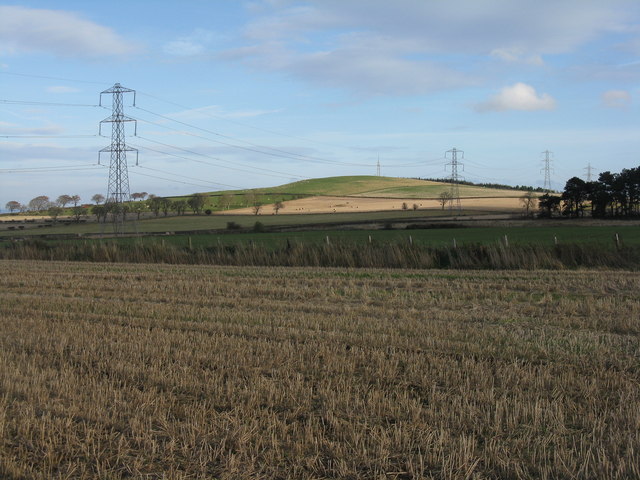
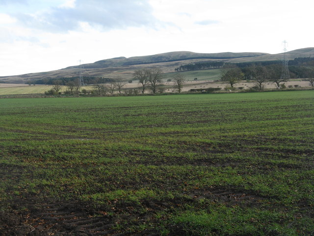
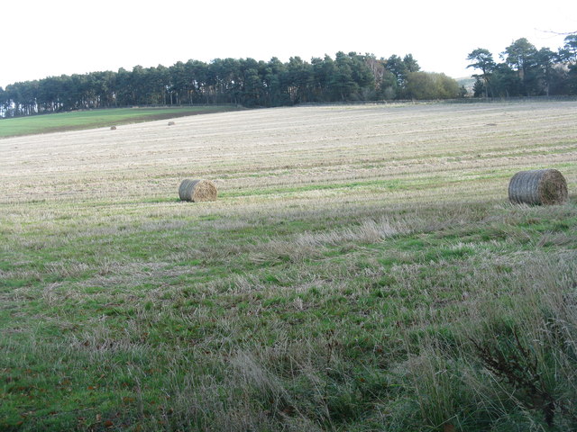
![Winter wheat in the Pentland Hills A recently sown field where once there would only have been rough pasture. New cultivars allow winter cereals to be grown in quite severe conditions. This crop is not yet germinating, and there is evidence of erosion from rain run-off in the foreground. The long low hills in the distance are West and East Cairn Hills [10km to the southwest], the one on the left is Hare Hill, much nearer at 4km.](https://s0.geograph.org.uk/geophotos/02/67/63/2676348_944a7245.jpg)

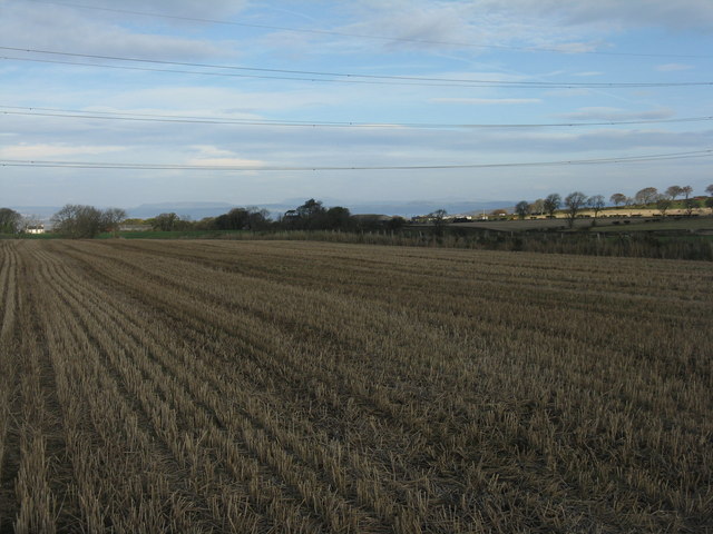
![November poppy in the barley stubble A Field Poppy [Papaver rhoeas] at Kinleith above Currie, in the foothills of the Pentlands.](https://s1.geograph.org.uk/geophotos/02/67/64/2676461_94a2f9f9.jpg)

Clubbiedean Reservoir is located at Grid Ref: NT2066 (Lat: 55.88792, Lng: -3.2797256)
Unitary Authority: City of Edinburgh
Police Authority: Edinburgh
What 3 Words
///brush.rental.muddy. Near Currie, Edinburgh
Nearby Locations
Related Wikis

Torphin
Torphin ( tor-FIN) is a small area in the south-west of Edinburgh, Scotland, with its name deriving from the nearby Torphin Hill. It lies just south of...

Woodhall House, Edinburgh
Woodhall House is a Scottish mansion house, first recorded in 1707. It was also an institution run by the Society of Jesus in the late 20th century. It...
Bonaly
Bonaly () is an area on the south-western outskirts of Edinburgh and the northern slopes of the Pentland Hills, lying within the Parish of Colinton. It...
Juniper Green railway station
Juniper Green railway station was opened in 1874 and served the area of the then village of Juniper Green that now forms part of the city of Edinburgh...
Juniper Green
Juniper Green is a village on the outskirts of Edinburgh, Scotland, situated about 5.5 miles (8.9 km) south-west of the city centre. It bridges the city...

Edinburgh South West (UK Parliament constituency)
Edinburgh South West is a Scottish constituency of the House of Commons of the Parliament of the United Kingdom, first used at the 2005 UK general election...

Currie
Currie (Scottish Gaelic: Currach, IPA:[ˈkʰuːᵲəx]) is a village and suburb on the outskirts of Edinburgh, Scotland, situated 7 miles (11 kilometres) south...

Currie railway station
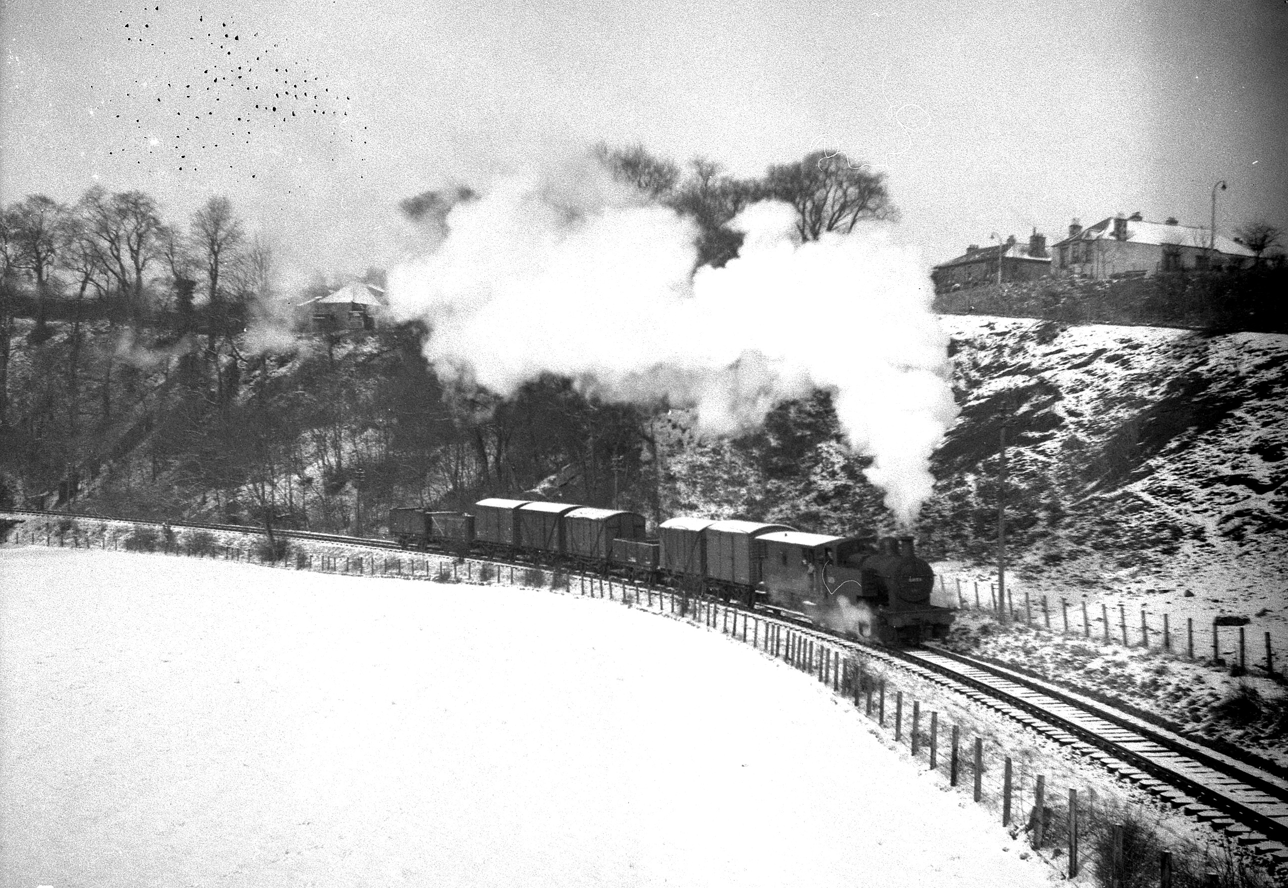
Currie railway station was opened in 1874 and served the area of the village of Currie that now forms part of the city of Edinburgh. Although primarily...
Nearby Amenities
Located within 500m of 55.88792,-3.2797256Have you been to Clubbiedean Reservoir?
Leave your review of Clubbiedean Reservoir below (or comments, questions and feedback).