Leigh Reservoir

Lake, Pool, Pond, Freshwater Marsh in Somerset Somerset West and Taunton

England

Leigh Reservoir

Pitminster : Lowton Road Lowton Road off Blackdown Hill.
Pitminster : Lowton Road Credit: Lewis Clarke

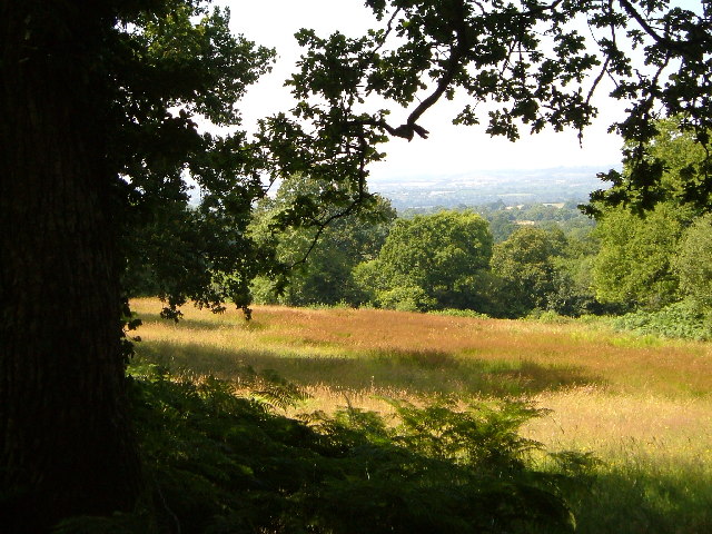
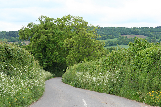
Leigh Reservoir, located in Somerset, England, is a man-made freshwater lake encompassing an area of approximately 15 hectares. Originally constructed in the early 19th century to support the nearby canal system, it has since become a popular recreational site for locals and visitors alike.

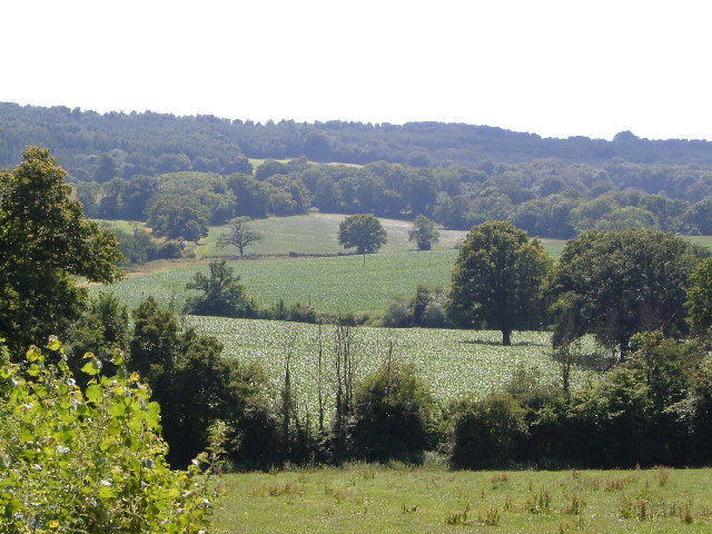
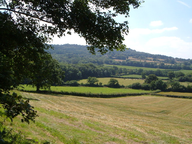
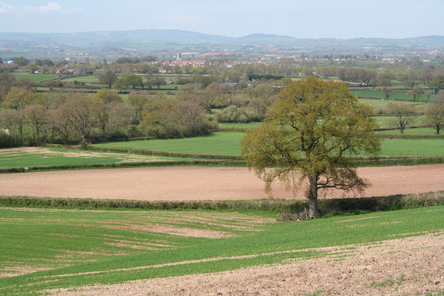
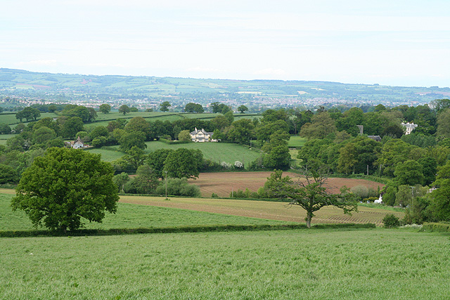
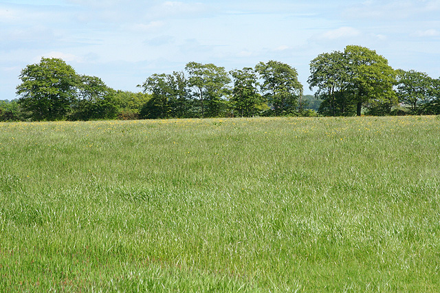
The reservoir offers a serene and picturesque setting, surrounded by lush greenery and rolling hills. Its calm waters and tranquil ambiance make it an ideal spot for various water-based activities. Boating enthusiasts can enjoy leisurely trips on the lake, while anglers can try their luck fishing for a variety of freshwater fish species, including carp, pike, and roach.

The reservoir also supports a diverse ecosystem, serving as a habitat for numerous aquatic plants and animals. Its marshy areas provide a sanctuary for various bird species, such as herons, swans, and ducks, attracting birdwatchers throughout the year. The surrounding vegetation includes reeds, rushes, and water lilies, adding to the natural beauty of the site.

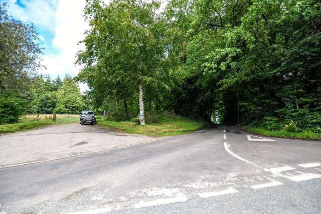
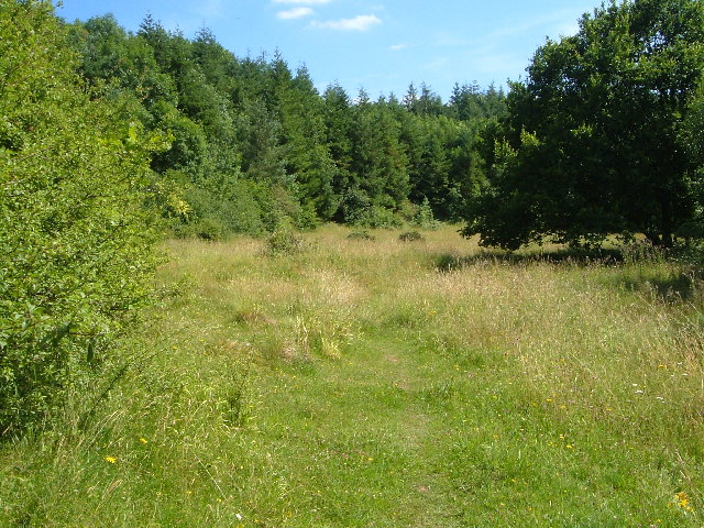
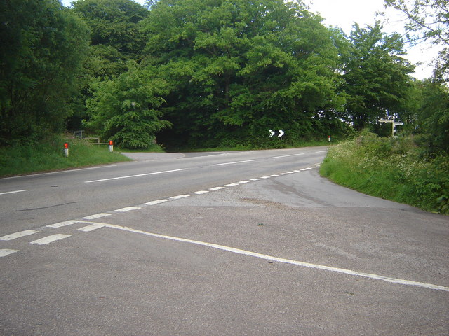
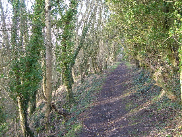
With its accessibility and well-maintained facilities, Leigh Reservoir welcomes visitors of all ages. A designated picnic area offers a perfect spot for families to enjoy a day out, while nature enthusiasts can explore the walking trails that wind through the surrounding countryside.

Overall, Leigh Reservoir in Somerset provides a tranquil retreat for those seeking to immerse themselves in nature, offering a range of recreational opportunities and a haven for diverse wildlife.

If you have any feedback on the listing, please let us know in the comments section below.

Leigh Reservoir Images

Images are sourced within 2km of 50.952856/-3.1444814 or Grid Reference ST1917. Thanks to Geograph Open Source API. All images are credited.

Pitminster : Lowton Road Lowton Road off Blackdown Hill.
Pitminster : Lowton Road
Lowton Road off Blackdown Hill.
Pitminster : Woodland Woodland seen off Blackdown Hill.
Pitminster : Woodland
Woodland seen off Blackdown Hill.
Pitminster : Blackdown Hill Looking along the road.
Pitminster : Blackdown Hill
Looking along the road.
Pitminster : Blackdown Hill Looking along Blackdown Hill.
Pitminster : Blackdown Hill
Looking along Blackdown Hill.
Pitminster : Track A track heading off Blackdown Hill to Sheep Wash.
Pitminster : Track
A track heading off Blackdown Hill to Sheep Wash.
Northern slopes of Blackdown Hills from Angersleigh Looking SSW from near Angersleigh church across farmland towards Leigh Hill
Northern slopes of Blackdown Hills from Angersleigh
Looking SSW from near Angersleigh church across farmland towards Leigh Hill
Farmland SE of Ruggin Looking WSW across the northern slopes of the Blackdown Hills, with Buckland Wood and Hill behind
Farmland SE of Ruggin
Looking WSW across the northern slopes of the Blackdown Hills, with Buckland Wood and Hill behind
Quants Nature Reserve Hidden within steep woods on the north-facing slopes of the Blackdown Hills, this meadow forms part of Quants SSSI, rich in plants indicative of ancient woodland, butterflies and other fauna
Quants Nature Reserve
Hidden within steep woods on the north-facing slopes of the Blackdown Hills, this meadow forms part of Quants SSSI, rich in plants indicative of ancient woodland, butterflies and other fauna
Woodland meadow near Farm Wood Bungalow Here the lower north-facing slopes of the Blackdown Hills form a patchwork of woods (here oak) and fields. Looking northwards, with a view across the Vale of Taunton Deane in the background.
Woodland meadow near Farm Wood Bungalow
Here the lower north-facing slopes of the Blackdown Hills form a patchwork of woods (here oak) and fields. Looking northwards, with a view across the Vale of Taunton Deane in the background.
Pitminster: near Chelmsine Looking west-north-west over farmland. Wellington, with its church tower, can be seen in mid distance
Pitminster: near Chelmsine
Looking west-north-west over farmland. Wellington, with its church tower, can be seen in mid distance
Pitminster: cemetery at Chelmsine chapel Looking east-south-east with the Blackdown Hills beyond.
Pitminster: cemetery at Chelmsine chapel
Looking east-south-east with the Blackdown Hills beyond.
Pitminster: road by Mount Pleasant This route links Wellington with the A303 at Yarcombe and for much of its length runs in a series of straight sections. The bends at Mount Pleasant are untypical. Looking east-south-east
Pitminster: road by Mount Pleasant
This route links Wellington with the A303 at Yarcombe and for much of its length runs in a series of straight sections. The bends at Mount Pleasant are untypical. Looking east-south-east
Pitminster: towards Angersleigh Looking north-north-east on the road from Forches Corner (The Marry Harriers). Ahead The Glebe House stands by the road to Taunton. To the right the church of St Michael and All Angels and Leigh Court are half hidden by trees. Taunton lies in the distance
Pitminster: towards Angersleigh
Looking north-north-east on the road from Forches Corner (The Marry Harriers). Ahead The Glebe House stands by the road to Taunton. To the right the church of St Michael and All Angels and Leigh Court are half hidden by trees. Taunton lies in the distance
Pitminster: approaching Angersleigh Looking south on the road from Taunton with Leigh Hill on the Blackdowns providing the backdrop
Pitminster: approaching Angersleigh
Looking south on the road from Taunton with Leigh Hill on the Blackdowns providing the backdrop
Churchstanton: Ring Down Typical upland scenery on the Blackdown Hills. Looking east-south-east
Churchstanton: Ring Down
Typical upland scenery on the Blackdown Hills. Looking east-south-east
Five-road cross roads at Forches Corner
Merry Harriers pub, Forches Corner
Angersleigh Church
Angersleigh Church
Show me another place!

Leigh Reservoir is located at Grid Ref: ST1917 (Lat: 50.952856, Lng: -3.1444814)

Administrative County: Somerset

District: Somerset West and Taunton

Police Authority: Avon and Somerset

What 3 Words

///ideals.rinses.gave. Near Hemyock, Devon

Related Wikis

Leigh Reservoir

Leigh Reservoir, or Leigh Hill Reservoir, is a small reservoir in Somerset, England. It was built in 1893 to supply water to the town of Taunton, Somerset...

Luxhay Reservoir

Luxhay Reservoir is an artificial reservoir near Angersleigh, Somerset, England. It is now owned by Wessex Water. It was built in 1905 by the town corporation...

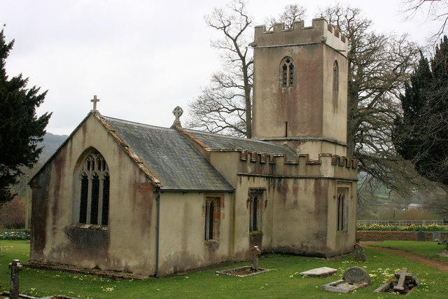
Church of St Michael, Angersleigh

The Anglican Church of St Michael in Angersleigh, Somerset, England was built in the 14th century. It is a Grade II* listed building. == History == The...

Quants Reserve

Quants Reserve is a nature reserve north west of Burnworthy in Somerset, England. It consists of a grassland clearing in a forestry plantation. It is well...

Taunton Deane services

Taunton Deane services is a double sided motorway service station on the M5 motorway near Taunton, England. It is owned by Roadchef. == Location == The...

RAF Culmhead

Royal Air Force Culmhead or more simply RAF Culmhead is a former Royal Air Force station, situated at Churchstanton on the Blackdown Hills in Somerset...

Ringdown SSSI, Somerset

Ringdown (grid reference ST178155) is a 4.0 hectare (9.9 acre) biological Site of Special Scientific Interest west of Burnworthy in the Blackdown Hills...

Prior's Park & Adcombe Wood

Prior's Park & Adcombe Wood (grid reference ST225170) is a 103.6 hectare (256.0 acre) biological Site of Special Scientific Interest south of Pitminster...

Have you been to Leigh Reservoir?

Leave your review of Leigh Reservoir below (or comments, questions and feedback).