The Brogan

Lake, Pool, Pond, Freshwater Marsh in Montgomeryshire

Wales

The Brogan

Grwn-Amlwg The farm house at Grwn-Amlwg.
Grwn-Amlwg Credit: Peter McDermott

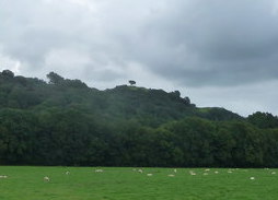
The Brogan, located in Montgomeryshire, is a picturesque freshwater ecosystem encompassing a serene lake, a tranquil pool, a serene pond, and a vibrant freshwater marsh. Spanning an area of approximately 10 hectares, this diverse water body offers a haven for various flora and fauna species, making it an important ecological site.

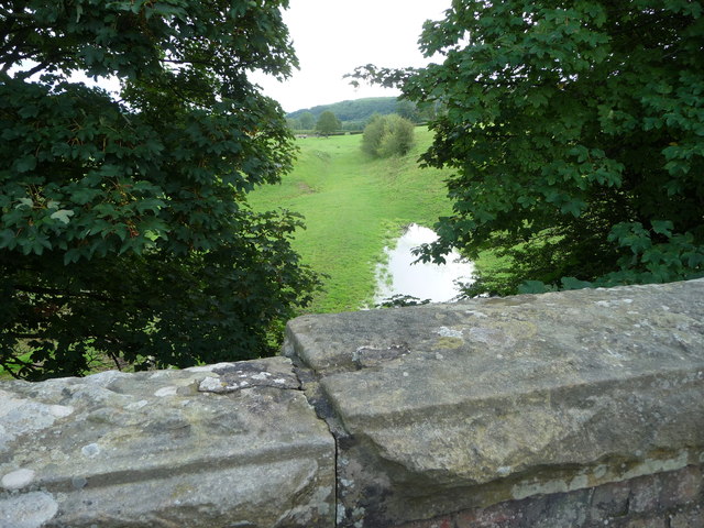
The Brogan lake, with its crystal-clear waters, is a prominent feature of this natural wonder. Surrounded by lush greenery and bordered by towering trees, it provides a serene and tranquil atmosphere. The lake supports a wide range of aquatic life, including fish, amphibians, and various species of waterfowl, making it an ideal spot for birdwatching and fishing enthusiasts.

Adjacent to the lake lies a peaceful pool, characterized by its calm waters and gentle currents. This secluded spot offers a perfect getaway for those seeking solitude and relaxation. Its shallow depths are home to a variety of aquatic plants, creating a colorful and vibrant environment.

In close proximity to the pool, a small pond can be found. The pond, though relatively small in size, is teeming with life. It serves as a breeding ground for many amphibians, such as frogs and newts, and attracts a plethora of insects and small invertebrates.

Lastly, the Brogan boasts a flourishing freshwater marsh. This wetland area is characterized by its waterlogged soil and dense vegetation, including reeds, sedges, and various wetland plants. The marsh provides an essential habitat for numerous bird species, including waterfowl and wading birds, and supports a wide range of invertebrates and small mammals.

Overall, the Brogan in Montgomeryshire is a remarkable natural gem, offering a diverse array of aquatic habitats that support a rich ecosystem of plants and animals. Its picturesque scenery and abundance of wildlife make it a popular destination for nature enthusiasts and researchers alike.

If you have any feedback on the listing, please let us know in the comments section below.

The Brogan Images

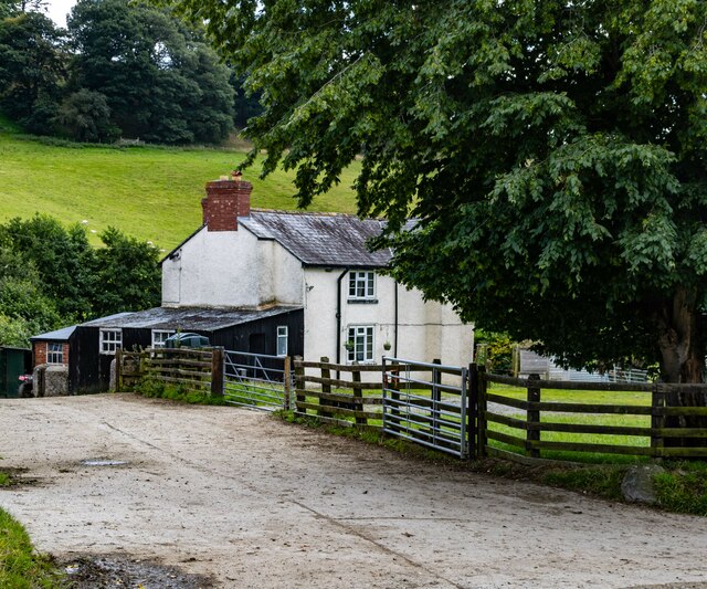
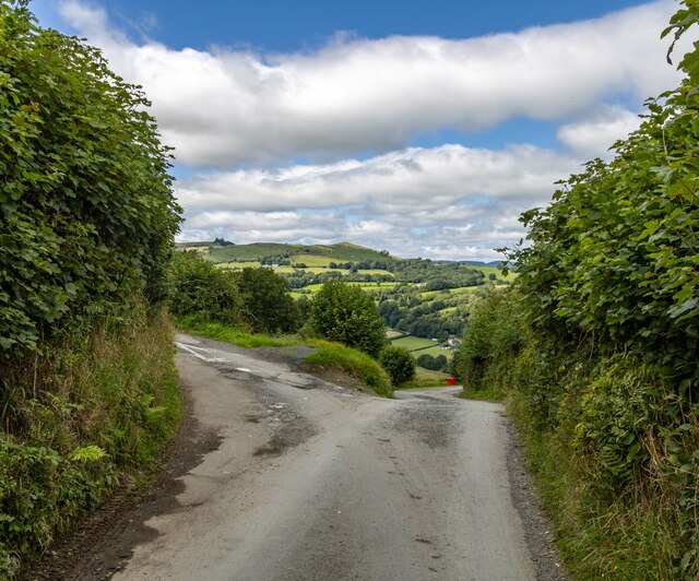
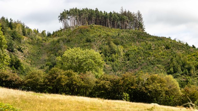
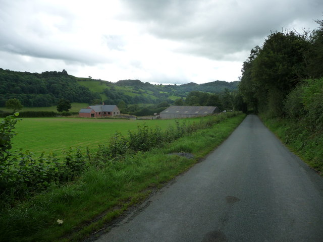
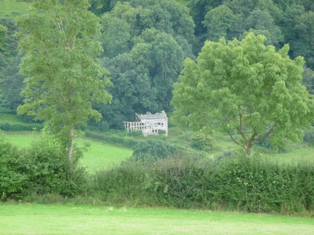
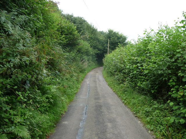
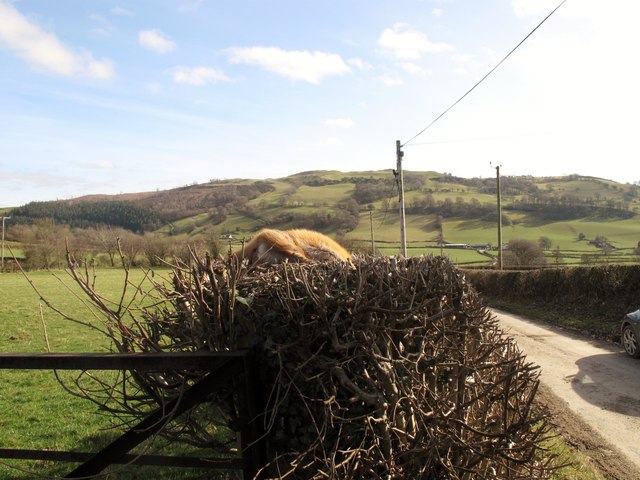
Images are sourced within 2km of 52.74328/-3.2407079 or Grid Reference SJ1616. Thanks to Geograph Open Source API. All images are credited.

Grwn-Amlwg The farm house at Grwn-Amlwg.
Grwn-Amlwg
The farm house at Grwn-Amlwg.
Bwlch-y-Garedd Road junction near Bwlch-y-Garedd.
Bwlch-y-Garedd
Road junction near Bwlch-y-Garedd.
Allt y Gadar
Allt y Gadar
Ordnance Survey Cut Mark This OS cut mark can be found on the south face of Christ Church. It marks a point 153.374m above mean sea level.
Ordnance Survey Cut Mark
This OS cut mark can be found on the south face of Christ Church. It marks a point 153.374m above mean sea level.
Ordnance Survey Cut Mark This OS cut mark can be found on the outbuilding at The Stumble Inn. It marks a point 152.038m above mean sea level.
Ordnance Survey Cut Mark
This OS cut mark can be found on the outbuilding at The Stumble Inn. It marks a point 152.038m above mean sea level.
Part of the long straight drive to Green Hall farm, Llanfyllin An epic length of drive or access lane.
Part of the long straight drive to Green Hall farm, Llanfyllin
An epic length of drive or access lane.
Course of dismantled railway across fields Green Hall farm Long vanished railway trackbed below, now grazed by cattle.
Course of dismantled railway across fields Green Hall farm
Long vanished railway trackbed below, now grazed by cattle.
Lane  near Allt y Gader near Llanfyllin A nondescript rural lane.

It contained the odd bit of roadkill of various size and species from snails and frogs to badger.
Lane near Allt y Gader near Llanfyllin
A nondescript rural lane. It contained the odd bit of roadkill of various size and species from snails and frogs to badger.
Incomplete new build opposite Tan-y-geulan No construction work has been going on here for some time.
Incomplete new build opposite Tan-y-geulan
No construction work has been going on here for some time.
Distant ruin at Tan-yr-allt Ruin on the wood edge.
Distant ruin at Tan-yr-allt
Ruin on the wood edge.
Old barns at Nant-y-meichiaid farm The farm and barns lie idle, frozen in time.
Old barns at Nant-y-meichiaid farm
The farm and barns lie idle, frozen in time.
Farm yard at Nant-y-meichiaid farm The house may be occupied but the farm operation has long been suspended.
Farm yard at Nant-y-meichiaid farm
The house may be occupied but the farm operation has long been suspended.
Nant-y-meichiaid farmhouse What a wonderful old farm house building.
Nant-y-meichiaid farmhouse
What a wonderful old farm house building.
Track across fields The rough grazing here has just had the benefit of a thistle cut.
Track across fields
The rough grazing here has just had the benefit of a thistle cut.
Curve in the lane near Rhysgog A narrow upland lane.
Curve in the lane near Rhysgog
A narrow upland lane.
Lane overlooking Llanfyllin This lane offers nice views down to Llanfyllin.
Lane overlooking Llanfyllin
This lane offers nice views down to Llanfyllin.
Allt y Gader Left car on the A490 then headed up passed the rare sheep and outdoor pigs to near the mast then up dense steep undergrowth and woods to seat and then summit, lovely views today. Better done in Feb than June!

Name: Allt y Gader
Hill number: 5182
Height: 334m / 1096ft
Area: 30E: Bala to Welshpool
Class: Hu
Grid ref: SJ 14895 17676
Summit feature: rocky outcrop
Drop: 122m
Col: 212m  SJ139173
Allt y Gader
Left car on the A490 then headed up passed the rare sheep and outdoor pigs to near the mast then up dense steep undergrowth and woods to seat and then summit, lovely views today. Better done in Feb than June! Name: Allt y Gader Hill number: 5182 Height: 334m / 1096ft Area: 30E: Bala to Welshpool Class: Hu Grid ref: SJ 14895 17676 Summit feature: rocky outcrop Drop: 122m Col: 212m SJ139173
Fox On Hedge Dead fox On hedge and view along minor road near entrance to Bwlch-y-garnedd.
Fox On Hedge
Dead fox On hedge and view along minor road near entrance to Bwlch-y-garnedd.
Show me another place!

The Brogan is located at Grid Ref: SJ1616 (Lat: 52.74328, Lng: -3.2407079)

Unitary Authority: Powys

Police Authority: Dyfed Powys

What 3 Words

///attending.builder.undertook. Near Llanfyllin, Powys

Nearby Locations

Peniarth The Brogan

Related Wikis

Bwlch-y-cibau

Bwlch-y-Cibau also known as the "pass of the husks" in English, is a small village located between Llanfyllin and Welshpool. It is situated on the A490...

Bryngwyn Halt railway station

Bryngwyn Halt railway station is a disused station that was on the Llanfyllin Branch of the Cambrian Railways. It served the villages of Bwlch-y-cibau...

Allt-y-Main

Allt-y-Main is a hamlet in the community of Meifod, Powys, Wales, which is 86 miles (139 km) from Cardiff and 156 miles (252 km) from London. == References... ==

Lonely Tree

The Lonely Tree was a Scots pine on a hill near Llanfyllin, Powys, Wales. Visible from much of the town it was a local landmark with several traditions...

Nearby Amenities

Located within 500m of 52.74328,-3.2407079
Place: farm
Lat/Long: 52.7473048/-3.242543
Place: farm
Lat/Long: 52.7436548/-3.2398823
Place: farm
Lat/Long: 52.741953/-3.2338741
The data included in this document is from www.openstreetmap.org. The data is made available under ODbL.

Have you been to The Brogan?

Leave your review of The Brogan below (or comments, questions and feedback).