Back Lake
Lake, Pool, Pond, Freshwater Marsh in Perthshire
Scotland
Back Lake

Back Lake is a picturesque freshwater lake located in the heart of Perthshire, Scotland. Situated amidst lush greenery and rolling hills, it offers a tranquil and serene escape for nature enthusiasts and outdoor lovers alike.
Covering an area of approximately 10 acres, Back Lake is a relatively small body of water, resembling a pool or pond. It is fed by natural springs and streams, ensuring a constant supply of fresh water. The lake is surrounded by a diverse array of vegetation, including reeds, rushes, and various types of aquatic plants, creating a thriving freshwater marsh ecosystem.
The lake is home to a rich diversity of wildlife, attracting numerous species of birds, mammals, and amphibians. Birdwatchers will be delighted by the presence of ducks, swans, herons, and even the occasional osprey. Frogs, toads, and newts can also be spotted in and around the lake, making it a haven for amphibian enthusiasts.
Back Lake is a popular destination for fishing enthusiasts, offering opportunities to catch a variety of freshwater fish such as trout and perch. Fishing permits are available for purchase, ensuring a sustainable and controlled fishing experience.
The surrounding area of Back Lake provides ample opportunities for outdoor activities such as walking, hiking, and picnicking. A well-maintained path encircles the lake, providing easy access for visitors to explore its scenic beauty.
Overall, Back Lake in Perthshire is a hidden gem, a tranquil oasis surrounded by nature's splendor. Whether you are a nature lover, a birdwatcher, or simply seeking a peaceful retreat, this freshwater lake offers a delightful experience for all who visit.
If you have any feedback on the listing, please let us know in the comments section below.
Back Lake Images
Images are sourced within 2km of 56.379731/-3.3599435 or Grid Reference NO1621. Thanks to Geograph Open Source API. All images are credited.


Back Lake is located at Grid Ref: NO1621 (Lat: 56.379731, Lng: -3.3599435)
Unitary Authority: Perth and Kinross
Police Authority: Tayside
What 3 Words
///motorist.toffee.reserves. Near Perth, Perth & Kinross
Nearby Locations
Related Wikis

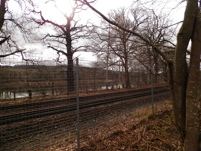
Kinfauns railway station
Kinfauns railway station served the village of Kinfauns, Perthshire, Scotland, from 1847 to 1950 on the Dundee and Perth Railway. == History == The station...

Elcho Castle
Elcho Castle () is located close to the south bank of the River Tay approximately four miles south-east of Perth, Scotland, in the region of Perth and...

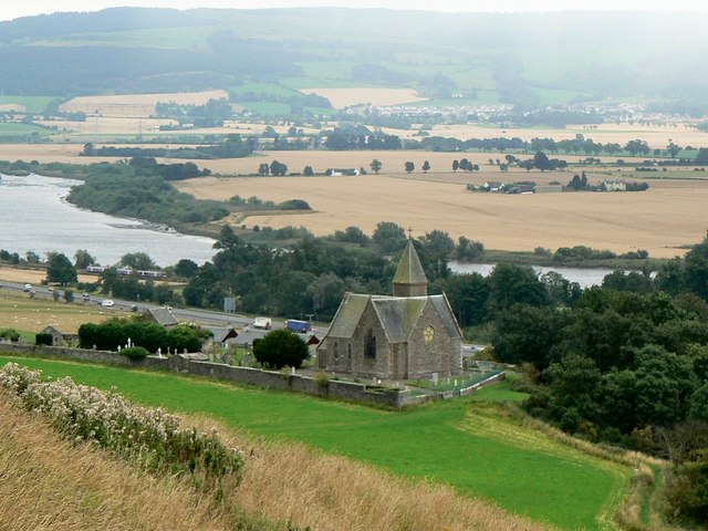
Kinfauns Parish Church
Kinfauns Parish Church is a Church of Scotland church in Kinfauns, Perth and Kinross, Scotland. Dating to 1869, the work of architect Andrew Heiton and...
Loch Kaitre
Loch Kaitre (possibly Loch Kaitres) was a loch in Kinfauns, Perth and Kinross, Scotland. The loch formerly occupied the site beside the Manse of Kinfauns...
Manse of Kinfauns
The Manse of Kinfauns (also known as Kinfauns House) is an historic building located in Kinfauns, Perth and Kinross, Scotland. It was built in 1791 and...
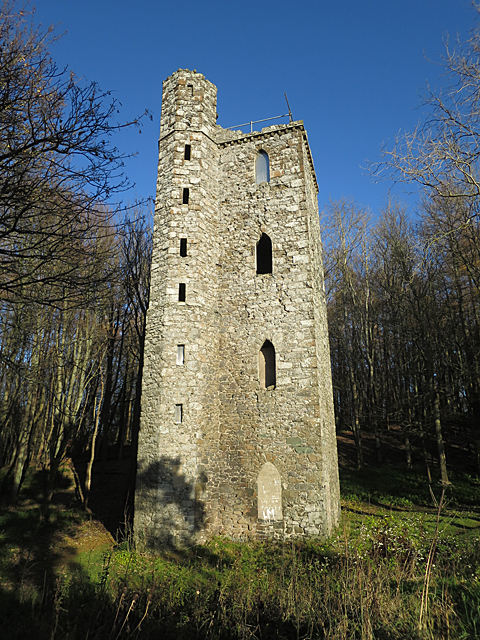
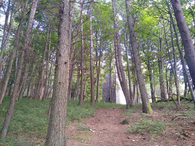
Binnhill Tower
Binnhill Tower is a stone-built tower in the Gothic style, located in Kinfauns, Perth and Kinross, Scotland. A Category B listed structure, it stands on...
Kinfauns, Perth and Kinross
Kinfauns is a village in Perth and Kinross, Scotland, at the western end of the Carse of Gowrie, 3 miles (4.8 km) east of Perth. == Background == The village...
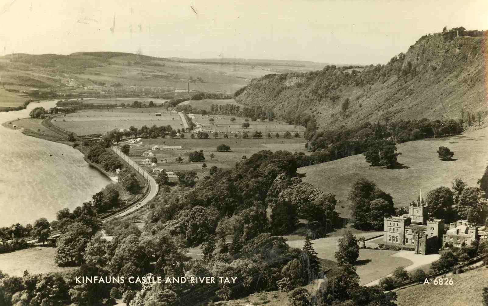
Kinfauns Castle
Kinfauns Castle is a 19th-century castle in the Scottish village of Kinfauns, Perth and Kinross. It is in the Castellated Gothic style, with a slight asymmetry...
Nearby Amenities
Located within 500m of 56.379731,-3.3599435Have you been to Back Lake?
Leave your review of Back Lake below (or comments, questions and feedback).