Crooked Jock
Lake, Pool, Pond, Freshwater Marsh in Peeblesshire
Scotland
Crooked Jock

Crooked Jock is a picturesque freshwater marsh located in Peeblesshire, Scotland. Nestled amidst the breathtaking landscapes of the Scottish countryside, this enchanting water body offers a serene and tranquil environment for both locals and visitors alike.
Spanning over an area of approximately 10 acres, Crooked Jock is a diverse ecosystem that comprises a lake, pool, pond, and freshwater marsh. The lake, with its crystal-clear waters, is a haven for various aquatic lifeforms. It provides a habitat for a wide range of fish species, including brown trout and perch, attracting fishing enthusiasts from far and wide.
Surrounding the lake, the pool and pond offer a contrasting environment with their calmer waters and abundant vegetation. These areas are home to numerous water plants, such as water lilies and reeds, which provide a habitat for a variety of birds and insects. Visitors can often spot vibrant dragonflies darting above the water's surface or catch a glimpse of a graceful swan drifting by.
The freshwater marsh, located adjacent to the lake, is a vital component of the ecosystem at Crooked Jock. This marshland is characterized by its rich biodiversity and serves as a breeding ground for several species of frogs, toads, and newts. The marsh also acts as a natural filter, purifying the water flowing into the lake and maintaining its pristine condition.
Crooked Jock, with its diverse range of habitats, offers a unique opportunity for nature enthusiasts to observe and appreciate the wonders of Scottish wildlife. Whether it is fishing, birdwatching, or simply enjoying the tranquil surroundings, this hidden gem in Peeblesshire is a must-visit destination for those seeking a peaceful retreat amidst nature's beauty.
If you have any feedback on the listing, please let us know in the comments section below.
Crooked Jock Images
Images are sourced within 2km of 55.760906/-3.373732 or Grid Reference NT1352. Thanks to Geograph Open Source API. All images are credited.


Crooked Jock is located at Grid Ref: NT1352 (Lat: 55.760906, Lng: -3.373732)
Unitary Authority: The Scottish Borders
Police Authority: The Lothians and Scottish Borders
What 3 Words
///sculpture.mailboxes.coconuts. Near West Linton, Scottish Borders
Nearby Locations
Related Wikis
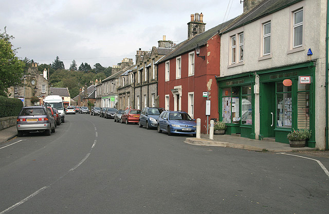
West Linton
West Linton (Scottish Gaelic: Liontan Ruairidh) is a village and civil parish in southern Scotland, on the A702. It was formerly in the county of Peeblesshire...

West Water Reservoir
West Water Reservoir (sometimes Westwater Reservoir) is an artificial reservoir in the Pentland Hills, Scottish Borders, 3 kilometres (1.9 mi) west of...

Broomlee railway station
Broomlee railway station served the village of West Linton, Peeblesshire, Scotland, from 1864 to 1933 on the Leadburn, Linton and Dolphinton Railway....
Baddinsgill
Baddinsgill is a hamlet in the Scottish Borders area of Scotland. The Baddinsgill Reservoir is a few hundred metres north of the hamlet. == See also... ==

Baddinsgill Reservoir
Baddinsgill Reservoir is a small reservoir in the Scottish Borders area of Scotland close to Carlops, West Linton, and the boundary with Midlothian. It...
Carlops
Carlops (Scottish Gaelic: Leum na Caillich) is a small village in the Pentland Hills, within the Scottish Borders area of Scotland, close to the boundary...
Macbie Hill railway station
Macbie Hill railway station served the hamlet of Coalyburn, Peeblesshire, Scotland, from 1864 to 1933 on the Leadburn, Linton and Dolphinton Railway....
Pentland Hills
The Pentland Hills are a range of hills southwest of Edinburgh, Scotland. The range is around twenty miles (thirty kilometres) in length, and runs southwest...
Nearby Amenities
Located within 500m of 55.760906,-3.373732Have you been to Crooked Jock?
Leave your review of Crooked Jock below (or comments, questions and feedback).