Ca-du Ford

Lake, Pool, Pond, Freshwater Marsh in Banffshire

Scotland

Ca-du Ford

Looking towards the lower slopes of Tom na h-Eilde from the ruined township of Bailechnoic
Looking towards the lower slopes of Tom na h-Eilde from the ruined township of Bailechnoic Credit: Mike Dunn

Ca-du Ford is a picturesque freshwater marsh located in Banffshire, Scotland. Sprawling over an area of approximately 100 acres, this enchanting marshland is nestled amidst the stunning natural beauty of the region. It is a popular destination for nature enthusiasts, birdwatchers, and those seeking tranquility amidst the serenity of the Scottish countryside.

The marsh is characterized by its diverse aquatic ecosystem, comprising a serene lake, a tranquil pool, and a serene pond. The lake, with its crystal-clear waters, serves as the focal point of the marsh. It provides a habitat for various species of fish and aquatic plants, adding to the ecological importance of the area.

The pool, located adjacent to the lake, is a smaller body of water that serves as a breeding ground for several species of waterfowl and amphibians. Its calm waters and lush vegetation make it an ideal spot for birdwatching and photography enthusiasts.

The pond, on the other hand, is a smaller and shallower water body within the marsh, teeming with diverse flora and fauna. It serves as a haven for insects, frogs, and other small aquatic creatures.

The marshland itself is a haven for a wide variety of bird species, including herons, ducks, swans, and geese. These birds can often be spotted gracefully gliding across the water or nesting among the reeds that line the marsh's edges.

Ca-du Ford, with its serene landscapes and flourishing biodiversity, offers visitors a chance to immerse themselves in the wonders of nature. Whether it is a leisurely walk along its tranquil shores or observing the vibrant birdlife, this marshland is a true gem for nature lovers and a testament to the beauty of Banffshire.

If you have any feedback on the listing, please let us know in the comments section below.

Ca-du Ford Images

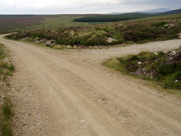
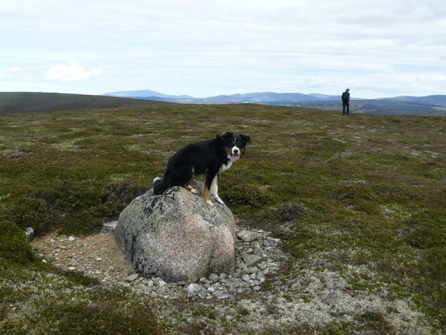
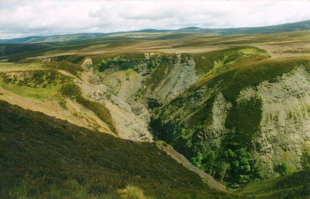
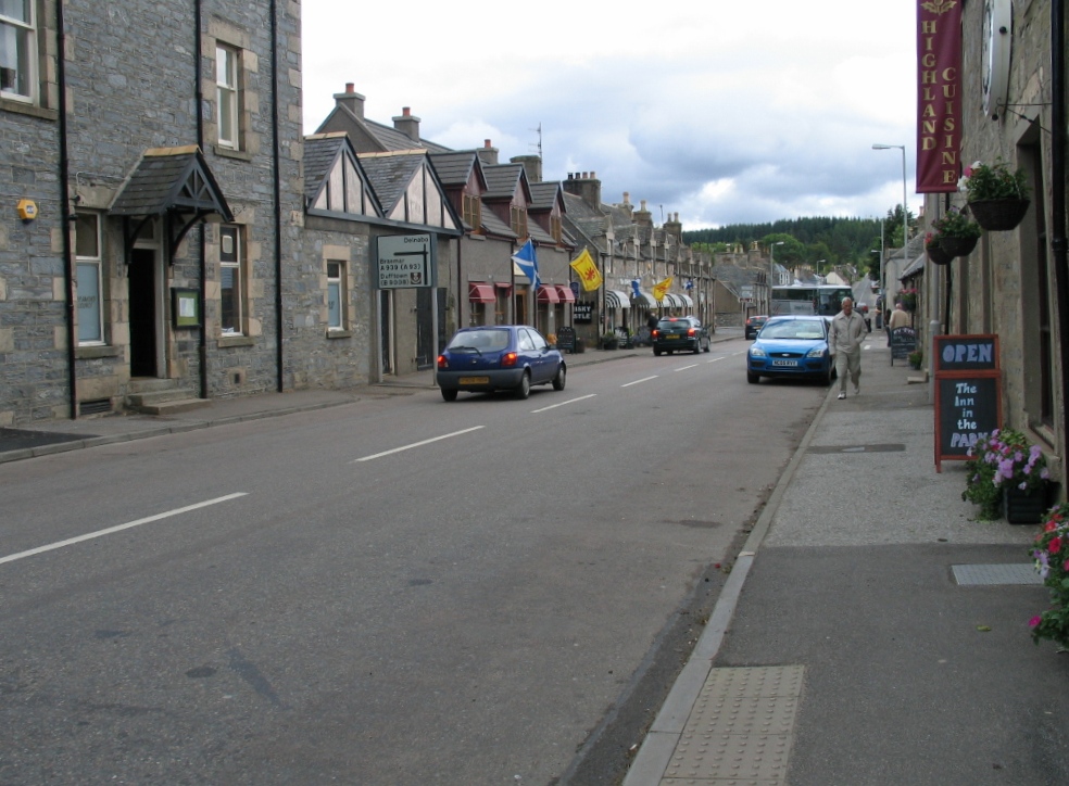
Images are sourced within 2km of 57.20482/-3.4323748 or Grid Reference NJ1313. Thanks to Geograph Open Source API. All images are credited.

Looking towards the lower slopes of Tom na h-Eilde from the ruined township of Bailechnoic
Northern slopes of Geal Charn Beag
Carn Ruadh-bhreac Seen from a Dorback estate track.
Carn Ruadh-bhreac
Seen from a Dorback estate track.
Green bothy below Carn Ruadh-bhreac A lunch bothy on Dorback estate.
Green bothy below Carn Ruadh-bhreac
A lunch bothy on Dorback estate.
Landrover track , Geal Charn Beag Giving access to grouse butts on the NE slopes of the hill.
Landrover track , Geal Charn Beag
Giving access to grouse butts on the NE slopes of the hill.
Track on Geal Charn Beag Landrover track used as access to grouse butts on the NE side of the hill.
Track on Geal Charn Beag
Landrover track used as access to grouse butts on the NE side of the hill.
Liater (Water of Ailnack) Water of Ailnack taken from the north end of NJ1313. Apart from moorland and juniper, and the river, there is very little else in this 1km square. Plenty of red grouse though.
Liater (Water of Ailnack)
Water of Ailnack taken from the north end of NJ1313. Apart from moorland and juniper, and the river, there is very little else in this 1km square. Plenty of red grouse though.
Moorland grass/heather above Water of Ailnack Moorland grass/heather in the foreground, looking SSE towards the Ailnack Gorge. Plenty of red grouse.
Moorland grass/heather above Water of Ailnack
Moorland grass/heather in the foreground, looking SSE towards the Ailnack Gorge. Plenty of red grouse.
Wester Gaulrig There is limestone in Glen Avon, which along with the dry climate explains why there is cultivated land at over 400m here at Wester Gaulrig. Cnap Caochain Aitin in the background.
Wester Gaulrig
There is limestone in Glen Avon, which along with the dry climate explains why there is cultivated land at over 400m here at Wester Gaulrig. Cnap Caochain Aitin in the background.
Ford, Allt Bheithachan On a track from Glen Avon to Glen Loin
Ford, Allt Bheithachan
On a track from Glen Avon to Glen Loin
Track Junction On Tom na h-Eilde. The main track goes to Glen Avon while the right branch goes to grouse butts.  Ben Rinnes can be seen in the distance at top right.
Track Junction
On Tom na h-Eilde. The main track goes to Glen Avon while the right branch goes to grouse butts. Ben Rinnes can be seen in the distance at top right.
Track on Carn an t-Sleibhe Estate track crossing grouse moors above Glen Avon
Track on Carn an t-Sleibhe
Estate track crossing grouse moors above Glen Avon
Ca-du Ford on the Water of Ailnack An ancient crossing of the Ailnack Gorge, now effectively disused
Ca-du Ford on the Water of Ailnack
An ancient crossing of the Ailnack Gorge, now effectively disused
Summit boulder, Carn Ruadh-bhreac The only feature on the top of the hill. Very distant view of Ben Rinnes
Summit boulder, Carn Ruadh-bhreac
The only feature on the top of the hill. Very distant view of Ben Rinnes
Allt Dearcaige near Ca-du Ford Possible route of old drove road
Allt Dearcaige near Ca-du Ford
Possible route of old drove road
Landslip on Carn Ruabraich / Water of Ailnack This huge landslip in possibly two or more stages (seen from the other side of the Water of Ailnack) affect the whole 140+ m height of the side of Carn Ruabraich, caused by undercutting by the river.
Landslip on Carn Ruabraich / Water of Ailnack
This huge landslip in possibly two or more stages (seen from the other side of the Water of Ailnack) affect the whole 140+ m height of the side of Carn Ruabraich, caused by undercutting by the river.
Ailnack Gorge At the end of a walk along Glen Brown, and only the walk back to Tomintoul ahead.
Ailnack Gorge
At the end of a walk along Glen Brown, and only the walk back to Tomintoul ahead.
Ailnack Glacial Gorge The Ailnack is Britain's largest glacial meltwater gorge.
Ailnack Glacial Gorge
The Ailnack is Britain's largest glacial meltwater gorge.
Show me another place!

Ca-du Ford is located at Grid Ref: NJ1313 (Lat: 57.20482, Lng: -3.4323748)

Unitary Authority: Moray

Police Authority: North East

What 3 Words

///march.entitles.touched. Near Grantown-on-Spey, Highland

Nearby Locations

Ca-du Ford

Related Wikis

Tomintoul

Tomintoul ( ; from Scottish Gaelic: Tom an t-Sabhail, meaning "Hillock of the Barn") is a village in the Moray council area of Scotland in the historic...

A939 road

The A939 'Lecht Road' connects the A96 at Nairn on the Moray Coast with the A95 Grantown on Spey, then it continues to the A93 at Ballater by way of the...

West Aberdeenshire and Kincardine (UK Parliament constituency)

West Aberdeenshire and Kincardine is a county constituency of the House of Commons of the Parliament of the United Kingdom of Great Britain and Northern...

Have you been to Ca-du Ford?

Leave your review of Ca-du Ford below (or comments, questions and feedback).