Grahamston
Settlement in Stirlingshire
Scotland
Grahamston
Grahamston is a small town located in Stirlingshire, Scotland. Situated on the banks of the River Carron, it is part of the Falkirk Council area. With a population of around 5,000 residents, Grahamston is a close-knit community with a rich history.
The town is well-connected, with excellent transportation links. It is served by the Grahamston railway station, which provides regular services to nearby cities like Glasgow and Edinburgh. Additionally, Grahamston is conveniently located near major road networks, making it easily accessible by car.
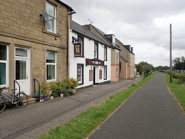
Grahamston boasts a range of amenities and facilities. The town center is home to various shops, supermarkets, and local businesses, providing residents with convenient access to everyday essentials. There are also several schools, healthcare centers, and recreational facilities, ensuring that the community's needs are well-catered for.
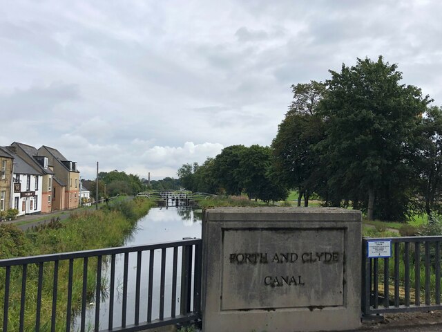
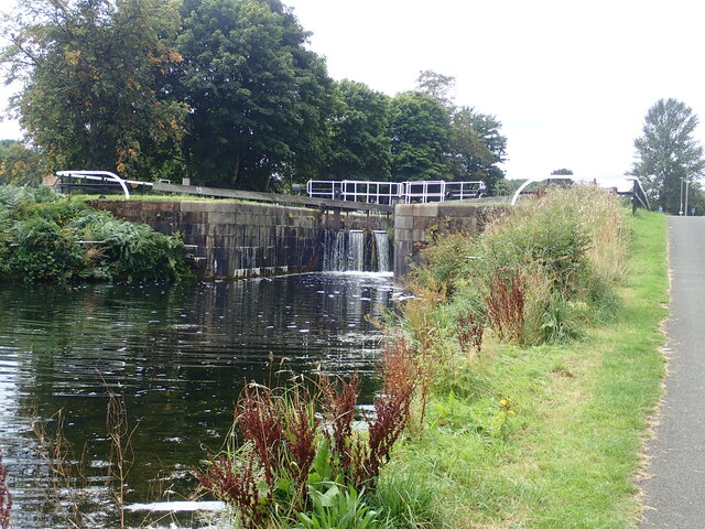
One of the notable landmarks in Grahamston is the Falkirk Wheel. This impressive engineering feat is a rotating boat lift that connects the Forth and Clyde Canal with the Union Canal, allowing boats to travel between the two. The Falkirk Wheel attracts tourists from all over the world and is a popular destination for both locals and visitors.
Grahamston is surrounded by beautiful natural landscapes, including the nearby Callendar Park and the Kelpies, two enormous horse head sculptures that have become iconic symbols of Scotland. The town's proximity to these attractions offers residents the opportunity to enjoy outdoor activities such as walking, cycling, and picnicking.
Overall, Grahamston is a charming town with a strong sense of community, providing its residents with a high quality of life and easy access to both urban and natural attractions.
If you have any feedback on the listing, please let us know in the comments section below.
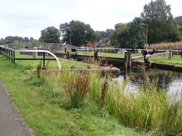
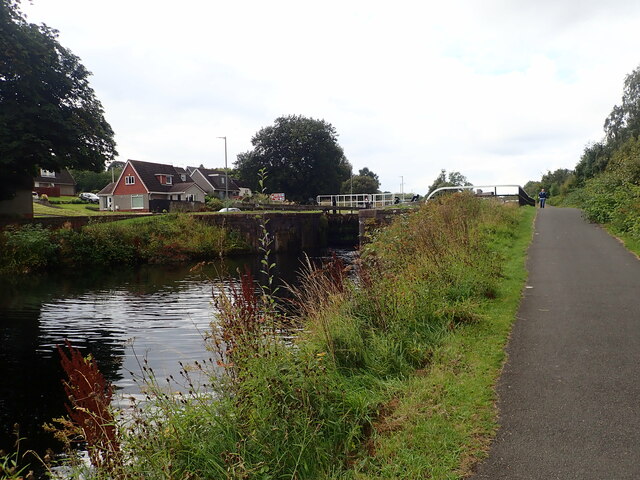
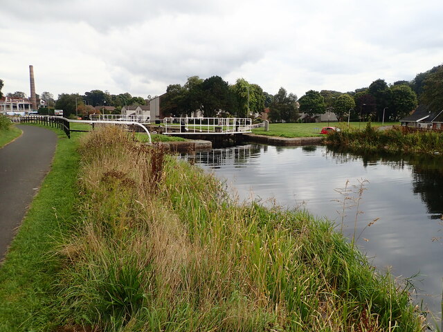
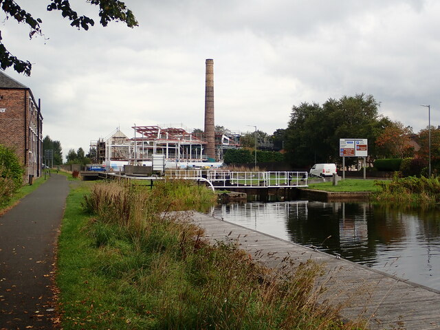
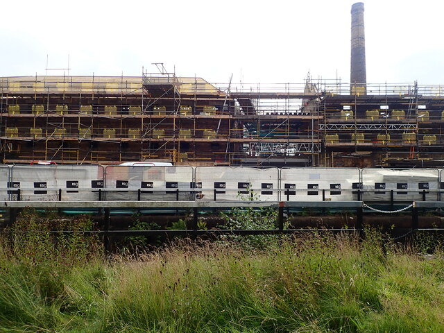
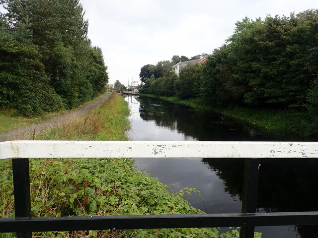
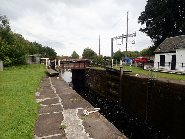
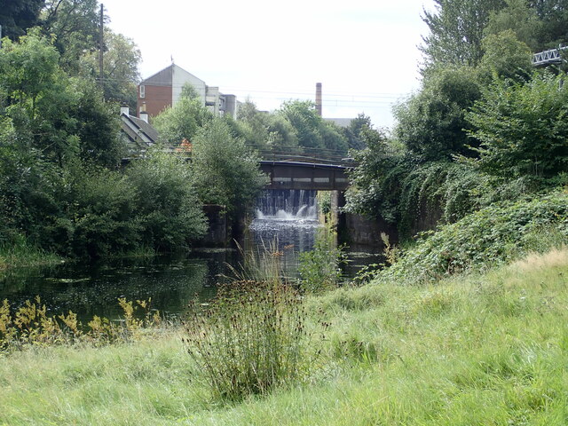
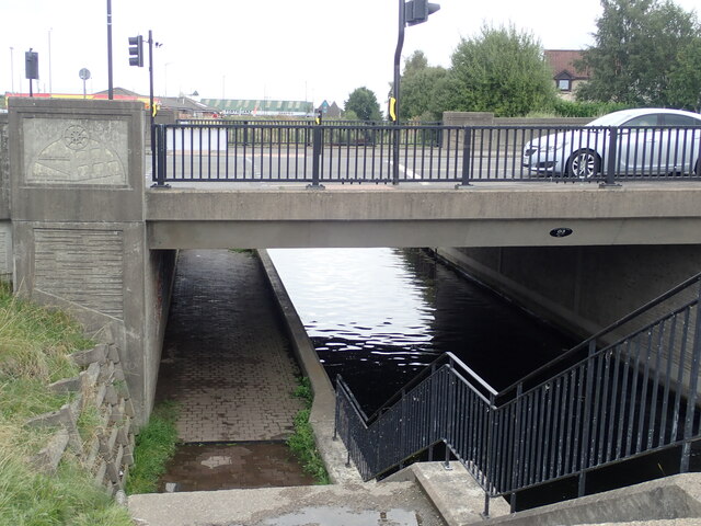
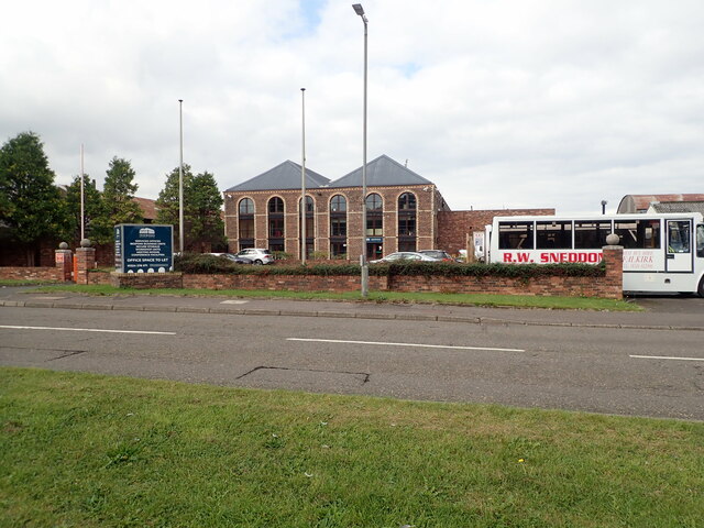
Grahamston Images
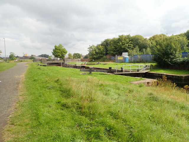
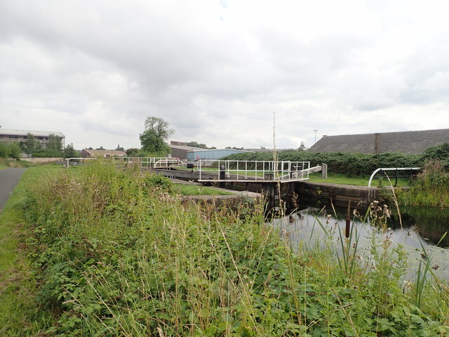
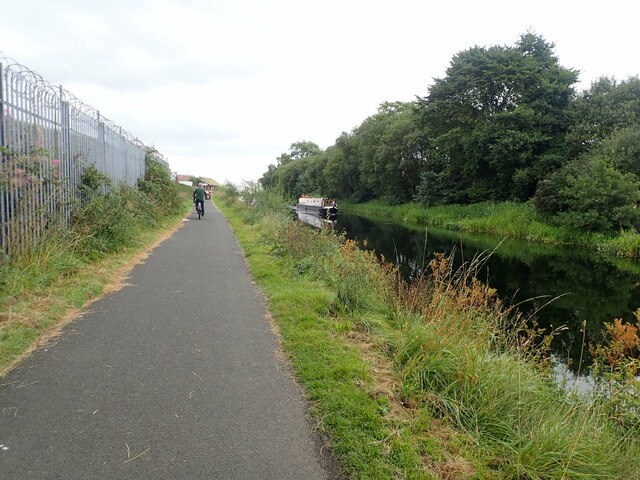
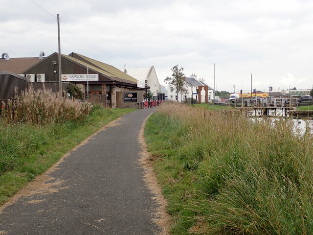
Images are sourced within 2km of 56.006156/-3.784402 or Grid Reference NS8880. Thanks to Geograph Open Source API. All images are credited.
Grahamston is located at Grid Ref: NS8880 (Lat: 56.006156, Lng: -3.784402)
Unitary Authority: Falkirk
Police Authority: Forth Valley
What 3 Words
///jokes.oppose.luxury. Near Falkirk
Nearby Locations
Related Wikis

Firs Park
Firs Park was a football stadium in Falkirk, Scotland, which was the home of East Stirlingshire F.C. between 1921 and 2008. It was located on Firs Street...

Falkirk Grahamston railway station
Falkirk Grahamston railway station is one of two railway stations serving the town of Falkirk in Scotland. It is located on the Edinburgh to Dunblane Line...

Brockville Park
Brockville Park was a football stadium located on Hope Street in Falkirk, Scotland, 0.25 miles (0.4 km) north-west of the town centre. It was the home...
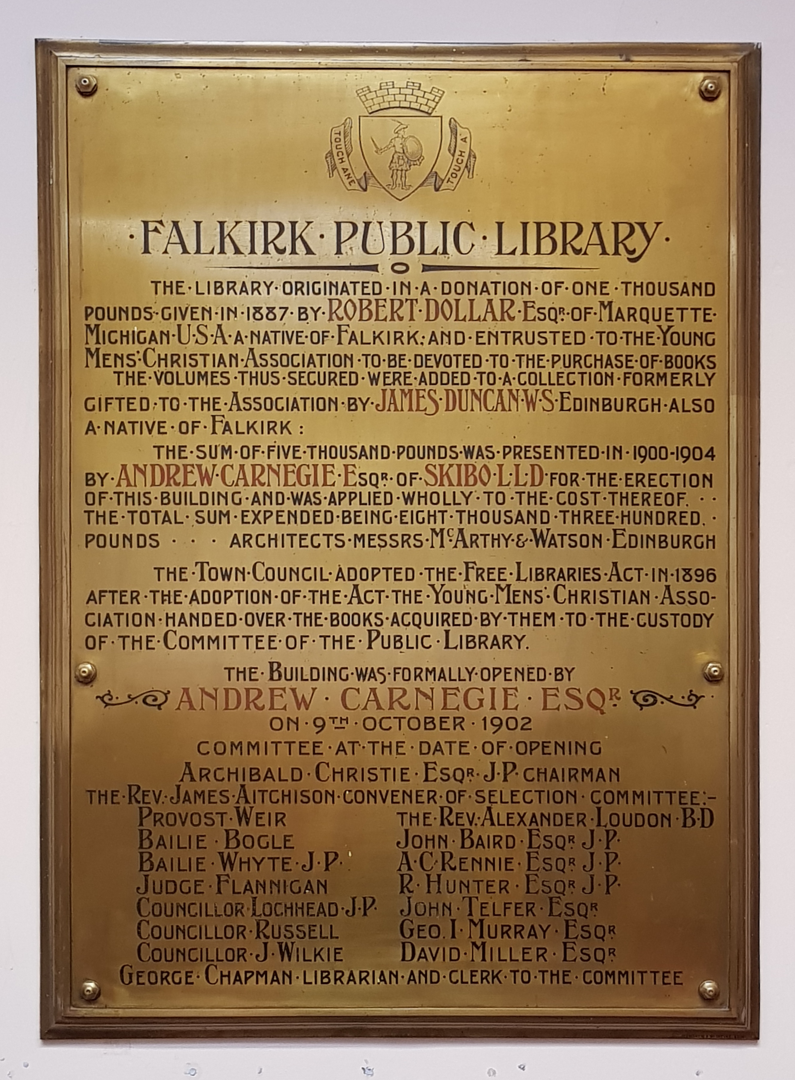
Falkirk Public Library
Falkirk Public Library is a public library in Falkirk, Scotland. It is administered by Falkirk Community Trust. Local author Alan Bissett credits the library...
Nearby Amenities
Located within 500m of 56.006156,-3.784402Have you been to Grahamston?
Leave your review of Grahamston below (or comments, questions and feedback).