Rotche Hole

Lake, Pool, Pond, Freshwater Marsh in Dumfriesshire

Scotland

Rotche Hole

Bridge Marker on Williamwath Bridge, Dumfries and Galloway Bridge Marker rivetted to the northwest parapet of Williamwath Bridge, River Annan, northeast of Dalton. On the former boundary of Dalton and Dryfesdale parishes, Dumfriesshire, now Dumfries and Galloway. Category B Listed <span class="nowrap"><a title="http://portal.historicenvironment.scot/designation/LB3797" rel="nofollow ugc noopener" href="http://portal.historicenvironment.scot/designation/LB3797">Link</a><img style="margin-left:2px;" alt="External link" title="External link - shift click to open in new window" src="https://s1.geograph.org.uk/img/external.png" width="10" height="10"/></span>.

Milestone Society National ID: DF_DALDRY01br
Bridge Marker on Williamwath Bridge, Dumfries and Galloway Credit: J Glew

Rotche Hole, located in Dumfriesshire, Scotland, is a picturesque freshwater marsh encompassing an area of approximately 10 acres. This natural wonder is a tranquil haven for both flora and fauna, attracting nature enthusiasts and bird watchers from near and far.

The main feature of Rotche Hole is a crystal-clear lake, surrounded by dense vegetation and reed beds. The lake spans around 4 acres and is home to a diverse range of aquatic plants, such as water lilies and bulrushes, which provide shelter and sustenance for various species of waterfowl and fish.

The surrounding landscape of Rotche Hole consists of gently undulating terrain, with pockets of woodland and meadows. The area is renowned for its diverse birdlife, with over 60 species having been recorded in the vicinity. Birdwatchers can spot a variety of water birds, including herons, mallards, tufted ducks, and even the occasional osprey or kingfisher.

Aside from its avian inhabitants, Rotche Hole supports a rich variety of terrestrial wildlife. Otters have been sighted in the lake, making it a popular spot for wildlife photographers. The marshy areas provide a habitat for amphibians like common frogs and palmate newts, while the woodlands are home to small mammals such as red squirrels and roe deer.

Rotche Hole offers a peaceful and serene environment for visitors to immerse themselves in the beauty of nature. Whether it is birdwatching, nature photography, or simply enjoying a leisurely walk along the lake's edge, this freshwater marsh provides a captivating and enriching experience for all who venture into its enchanting realm.

If you have any feedback on the listing, please let us know in the comments section below.
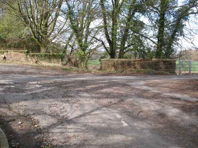
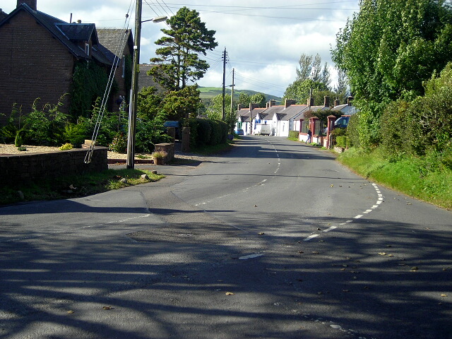
Rotche Hole Images

Images are sourced within 2km of 55.059324/-3.3649086 or Grid Reference NY1274. Thanks to Geograph Open Source API. All images are credited.

Bridge Marker on Williamwath Bridge, Dumfries and Galloway Bridge Marker rivetted to the northwest parapet of Williamwath Bridge, River Annan, northeast of Dalton. On the former boundary of Dalton and Dryfesdale parishes, Dumfriesshire, now Dumfries and Galloway. Category B Listed <span class="nowrap"><a title="http://portal.historicenvironment.scot/designation/LB3797" rel="nofollow ugc noopener" href="http://portal.historicenvironment.scot/designation/LB3797">Link</a><img style="margin-left:2px;" alt="External link" title="External link - shift click to open in new window" src="https://s1.geograph.org.uk/img/external.png" width="10" height="10"/></span>.

Milestone Society National ID: DF_DALDRY01br
Bridge Marker on Williamwath Bridge, Dumfries and Galloway
Bridge Marker rivetted to the northwest parapet of Williamwath Bridge, River Annan, northeast of Dalton. On the former boundary of Dalton and Dryfesdale parishes, Dumfriesshire, now Dumfries and Galloway. Category B Listed LinkExternal link. Milestone Society National ID: DF_DALDRY01br
OS Cut Mark - Dalton, Murraythwaite Mill Cottage
Close up of OS Cut Mark - Dalton, Murraythwaite Mill Cottage
Dalton Parish Church
OS Cut Mark - Dalton, Parish Church <span class="nowrap"><a title="https://www.bench-marks.org.uk/bm70196" rel="nofollow ugc noopener" href="https://www.bench-marks.org.uk/bm70196">Link</a><img style="margin-left:2px;" alt="External link" title="External link - shift click to open in new window" src="https://s1.geograph.org.uk/img/external.png" width="10" height="10"/></span>
OS Cut Mark - Dalton, Parish Church
Position of OS Cut Mark - Dalton, Parish Church <span class="nowrap"><a title="https://www.bench-marks.org.uk/bm70196" rel="nofollow ugc noopener" href="https://www.bench-marks.org.uk/bm70196">Link</a><img style="margin-left:2px;" alt="External link" title="External link - shift click to open in new window" src="https://s1.geograph.org.uk/img/external.png" width="10" height="10"/></span>
Position of OS Cut Mark - Dalton, Parish Church
Dalton Parish Church This 19th century building was sited next to the older church which was located in a very old religious place.
Dalton Parish Church
This 19th century building was sited next to the older church which was located in a very old religious place.
Dalton UF Church This church in Dalton village was "non-conformist", constructed during the 19th century for the breakaway United Free Kirk.
Dalton UF Church
This church in Dalton village was "non-conformist", constructed during the 19th century for the breakaway United Free Kirk.
This way to Little Dalton Kirk I had hoped to visit Little Dalton Kirk but the road was closed after storm Arwen had brought trees down during the previous evening. There's always another day to visit.
This way to Little Dalton Kirk
I had hoped to visit Little Dalton Kirk but the road was closed after storm Arwen had brought trees down during the previous evening. There's always another day to visit.
Forestry Operations, Square Wood This is the route of The Annandale Way long distance path which splits into the eastern route via Lockerbie and the western route via Lochmaben a few metres beyond the gateway into Square Wood.
Forestry Operations, Square Wood
This is the route of The Annandale Way long distance path which splits into the eastern route via Lockerbie and the western route via Lochmaben a few metres beyond the gateway into Square Wood.
Williamwath Bridge Williamwath Bridge carries a minor road over the River Annan.
The western route of the Annandale Way long distance path crosses the bridge.
Williamwath Bridge
Williamwath Bridge carries a minor road over the River Annan. The western route of the Annandale Way long distance path crosses the bridge.
Pathhead near Milkbank Lodge Junction where the minor road from Broom meets the road from Kirkbank to Middleshaw.
This junction is on the route of the Annandale Way long distance path.
Pathhead near Milkbank Lodge
Junction where the minor road from Broom meets the road from Kirkbank to Middleshaw. This junction is on the route of the Annandale Way long distance path.
Field near Manse Bridge The road is the B7020 from Annan to Lochmaben and it is the route of the Annandale Way.
Field near Manse Bridge
The road is the B7020 from Annan to Lochmaben and it is the route of the Annandale Way.
B7020 road near Dormont The road is the B7020 from Annan to Lochmaben and it is the route of the Annandale Way.
B7020 road near Dormont
The road is the B7020 from Annan to Lochmaben and it is the route of the Annandale Way.
Minor road at Dormont This road leads from Williamwath Bridge to the B7020 road near Dalton; it is the route of the Annandale Way.
Minor road at Dormont
This road leads from Williamwath Bridge to the B7020 road near Dalton; it is the route of the Annandale Way.
Williamwath Lodge and gateway The gate lodge is on the drive from Williamwath Bridge to the former Dormont House.  The house no longer exists but the gate is used for access to part of the Dormont Estate.
Williamwath Lodge and gateway
The gate lodge is on the drive from Williamwath Bridge to the former Dormont House. The house no longer exists but the gate is used for access to part of the Dormont Estate.
Track near Williamwath Lodge The track is a former carriage drive from Williamwath Bridge to Dormont House.  The house no longer exists and the track is used for access to part of the Dormont Estate.
Track near Williamwath Lodge
The track is a former carriage drive from Williamwath Bridge to Dormont House. The house no longer exists and the track is used for access to part of the Dormont Estate.
Road near Manse Bridge The minor road from Dalton to Almagill near Manse Bridge.
This is the route of the Annandale Way long distance path.
Road near Manse Bridge
The minor road from Dalton to Almagill near Manse Bridge. This is the route of the Annandale Way long distance path.
Show me another place!

Rotche Hole is located at Grid Ref: NY1274 (Lat: 55.059324, Lng: -3.3649086)

Unitary Authority: Dumfries and Galloway

Police Authority: Dumfries and Galloway

What 3 Words

///spans.flagpole.quiz. Near Lockerbie, Dumfries & Galloway

Related Wikis

Dalton, Dumfries and Galloway

The village of Dalton is a small settlement about 10 miles (16 km) southeast of Dumfries and 4 miles (6.4 km) south of Lockerbie, in Dumfries and Galloway...
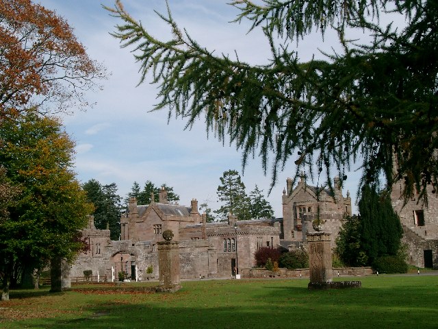
Hoddom Castle

Hoddom Castle is a large tower house in Dumfries and Galloway, south Scotland. It is located by the River Annan, 4 kilometres (2.5 mi) south-west of Ecclefechan...

Hoddom

Hoddom is a small settlement and civil parish in Dumfries and Galloway, Scotland, dating back to the 8th century. == Location == Hoddom is 13 miles by...

Carrutherstown

Carrutherstown is a village in the civil parish of Dalton, in Dumfries and Galloway, Scotland. It is about 9 miles (14 km) east of Dumfries. == Demographics... ==

Nearby Amenities

Located within 500m of 55.059324,-3.3649086
Power: pole
Lat/Long: 55.0599561/-3.3621035
Power: pole
Lat/Long: 55.0573093/-3.359663
Power: pole
Lat/Long: 55.0592219/-3.3616127
Power: pole
Lat/Long: 55.0629101/-3.3626748
Power: pole
Lat/Long: 55.0622188/-3.3626561
Power: pole
Lat/Long: 55.0606966/-3.3625461
Power: pole
Lat/Long: 55.0576073/-3.3605532
Power: pole
Lat/Long: 55.0584138/-3.3611114
Power: pole
Lat/Long: 55.0614416/-3.3626346
The data included in this document is from www.openstreetmap.org. The data is made available under ODbL.

Have you been to Rotche Hole?

Leave your review of Rotche Hole below (or comments, questions and feedback).