Boat Pool

Lake, Pool, Pond, Freshwater Marsh in Caithness

Scotland

Boat Pool

Pylon by the Thurso
Pylon by the Thurso Credit: Peter Moore

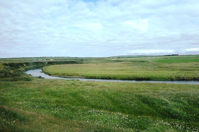
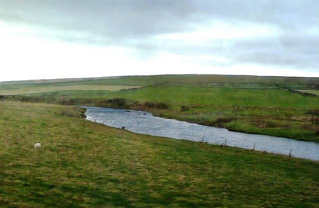
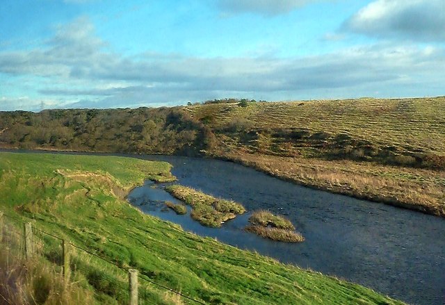
Boat Pool is a picturesque freshwater marsh located in the county of Caithness, Scotland. It is a natural water feature that resembles a lake, pool, pond, or marsh, depending on the time of year and water levels.

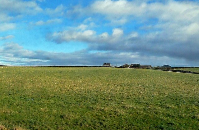
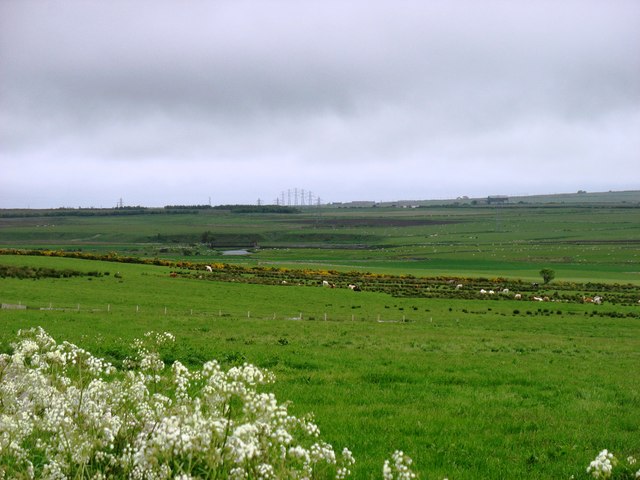
Situated amidst the beautiful Caithness countryside, Boat Pool covers an area of approximately 10 hectares. It is surrounded by lush vegetation, including reeds, grasses, and various aquatic plants. These provide a habitat for a diverse range of flora and fauna, making it an important ecological site.

The water in Boat Pool is primarily sourced from rainfall, resulting in a freshwater ecosystem. It is also fed by small streams and springs, ensuring a constant flow and maintaining its vitality. The water is typically clear, allowing visitors to observe the diverse aquatic life that resides within.

The marshland surrounding Boat Pool is home to a variety of bird species, including ducks, swans, and herons. These birds are attracted to the area due to the abundance of food sources, such as small fish, insects, and aquatic plants. The marsh also provides a nesting ground for these avian inhabitants.

Boat Pool offers a tranquil setting for visitors to enjoy nature and engage in recreational activities, such as birdwatching, fishing, and leisurely walks. It is a popular spot for locals and tourists alike, who appreciate its scenic beauty and the opportunity to connect with the natural environment.

In summary, Boat Pool in Caithness is a stunning freshwater marsh that serves as a habitat for various plant and animal species. With its clear water, abundant vegetation, and diverse birdlife, it offers a peaceful retreat for nature enthusiasts and outdoor enthusiasts alike.

If you have any feedback on the listing, please let us know in the comments section below.
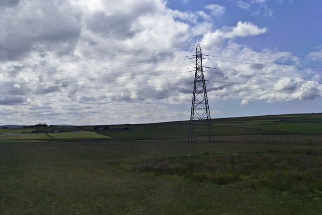
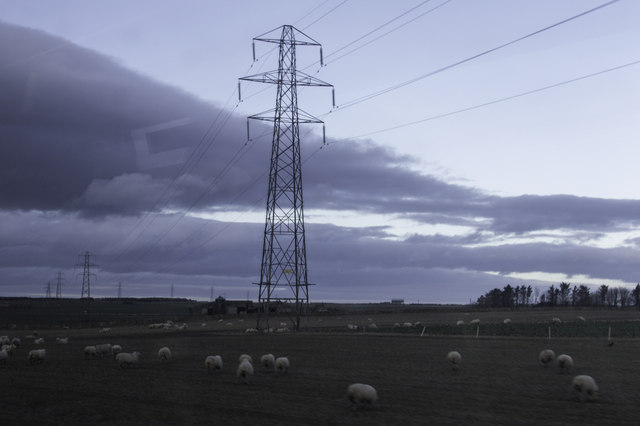
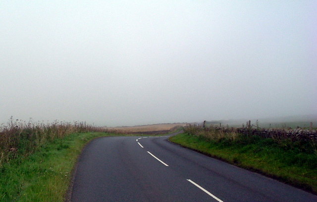
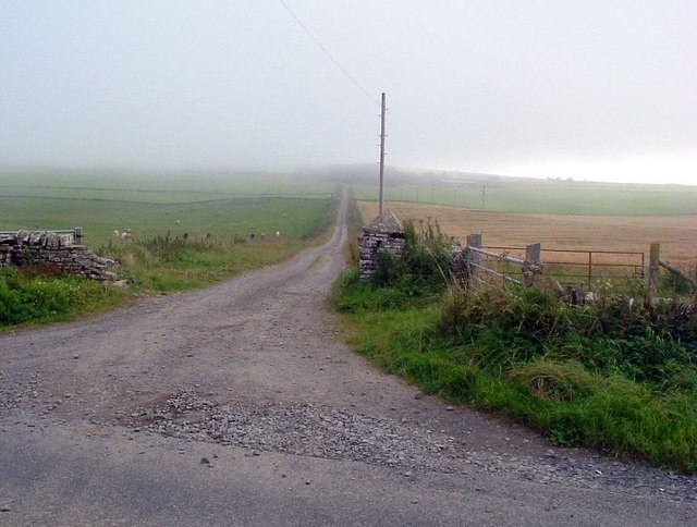
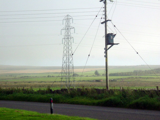
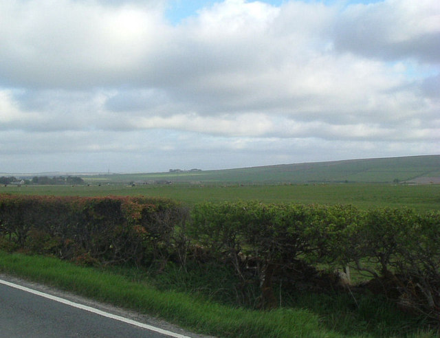
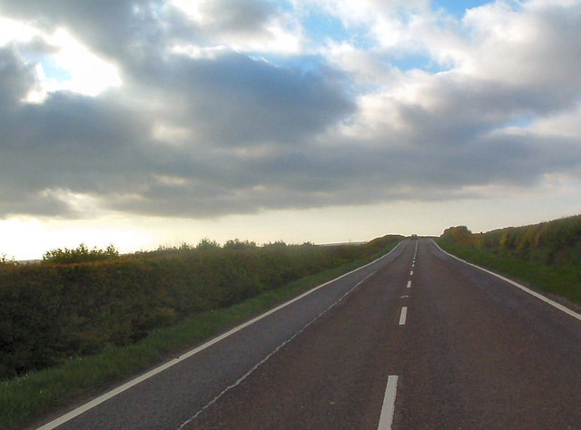
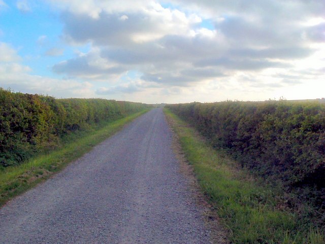
Boat Pool Images

Images are sourced within 2km of 58.556137/-3.5073316 or Grid Reference ND1264. Thanks to Geograph Open Source API. All images are credited.

Pylon by the Thurso
Pylon by the Thurso
The River Thurso Viewed from the train returning from Thurso to Inverness, a line which uses a most interesting and scenic route.
The River Thurso
Viewed from the train returning from Thurso to Inverness, a line which uses a most interesting and scenic route.
Pylon from a train Hence the ghost image centre left....
Pylon from a train
Hence the ghost image centre left....
Substation by the A9 just south of Thurso
River Thurso A quick glimpse of the river and adjacent grazing land from a train on the way to Thurso, viewed in late October.
River Thurso
A quick glimpse of the river and adjacent grazing land from a train on the way to Thurso, viewed in late October.
Thurso River Islands Looking downstream from the railway line in late-October sunshine.
Thurso River Islands
Looking downstream from the railway line in late-October sunshine.
Towards Carsgoe Carsgoe Farm, viewed from a train on the way to Wick on a bright late-October day.
Towards Carsgoe
Carsgoe Farm, viewed from a train on the way to Wick on a bright late-October day.
Farmland beside the River Thurso In the distance, in the centre of the photo, is a line of pylons (actually in <a href="https://www.geograph.org.uk/gridref/ND1265">ND1265</a>). Pylons are not always the most beautiful of things, but I thought that the arch shape here (as if there were a bridge) was quite attractive.
Farmland beside the River Thurso
In the distance, in the centre of the photo, is a line of pylons (actually in ND1265). Pylons are not always the most beautiful of things, but I thought that the arch shape here (as if there were a bridge) was quite attractive.
The pylons head south Seen from the A9 just south of Thurso, these are the pylons seen in the distance in <a href="https://www.geograph.org.uk/photo/4554723">ND1262 : Farmland beside the River Thurso</a>.
The pylons head south
Seen from the A9 just south of Thurso, these are the pylons seen in the distance in ND1262 : Farmland beside the River Thurso.
Bulliemore Farm Bulliemore farm is still worked but the farmhouse is no longer lived in.
Bulliemore Farm
Bulliemore farm is still worked but the farmhouse is no longer lived in.
Bend in road
Bend in road
Mist on Buckies Hill Track to Buckies
Mist on Buckies Hill
Track to Buckies
Electricity Near Clatequoy
Electricity
Near Clatequoy
Electricity Sub Station on the A9
View south from the A9 Todholes farm in the distance
View south from the A9
Todholes farm in the distance
A9 near Bulliemore Looking northwest
A9 near Bulliemore
Looking northwest
Electricity pylon Viewed from road to geiselittle
Electricity pylon
Viewed from road to geiselittle
Road to Geiselittle
Road to Geiselittle
Show me another place!

Boat Pool is located at Grid Ref: ND1264 (Lat: 58.556137, Lng: -3.5073316)

Unitary Authority: Highland

Police Authority: Highlands and Islands

What 3 Words

///longingly.mule.avid. Near Thurso, Highland

Nearby Locations

Boat Pool Mill Pool

Related Wikis

Shalmstry

Shalmstry is a small settlement in Caithness, Scotland. It is just under 3 miles (5 kilometres) south of Thurso. It is located off the A9 and is remote...

Weydale

Weydale (Scottish Gaelic: valley of the way) is a remote scattered crofting settlement, lying 3 miles southeast of Thurso, Caithness, Scottish Highlands...

Sordale

Sordale is a small linear village, located 1.5 miles (2.4 km) northeast in Halkirk, in Caithness, Scottish Highlands and is in the Scottish council area...

Newlands of Geise

Newlands of Geise is a scattered hamlet. It lies to the south west of Thurso in Caithness in the Scottish Highlands and is in the Scottish council area...

Nearby Amenities

Located within 500m of 58.556137,-3.5073316
Power: tower
Lat/Long: 58.560026/-3.5079924
Power: tower
Lat/Long: 58.5550246/-3.5019541
Power: tower
Lat/Long: 58.5575373/-3.5049876
Power: tower
Lat/Long: 58.554431/-3.5032037
Power: tower
Lat/Long: 58.5572042/-3.5063768
Power: tower
Lat/Long: 58.5599269/-3.5095739
Todholes Private Crossing 3
Railway: level_crossing
Lat/Long: 58.5546832/-3.508625
Todholes Private Crossing 2
Railway: level_crossing
Lat/Long: 58.5538394/-3.505629
Power: pole
Lat/Long: 58.5562413/-3.501062
Power: pole
Lat/Long: 58.5563917/-3.4996996
The data included in this document is from www.openstreetmap.org. The data is made available under ODbL.

Have you been to Boat Pool?

Leave your review of Boat Pool below (or comments, questions and feedback).