Dooflats Pool

Lake, Pool, Pond, Freshwater Marsh in Peeblesshire

Scotland

Dooflats Pool

Farmland above Drumelzier
Farmland above Drumelzier Credit: Colin Park

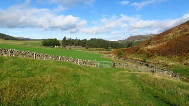
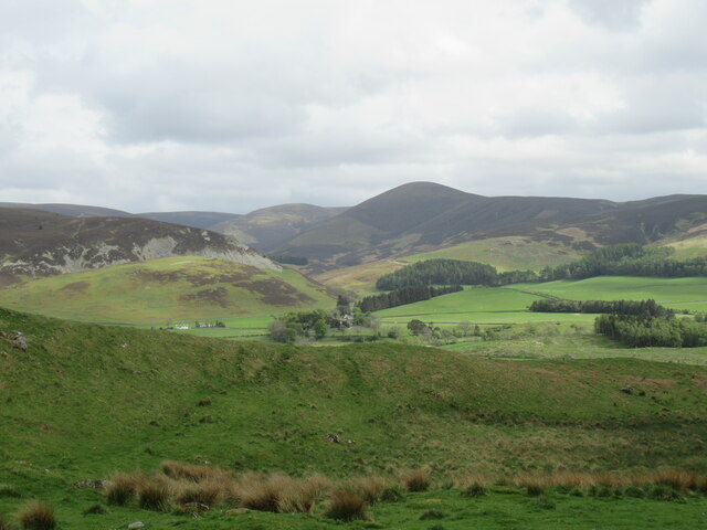
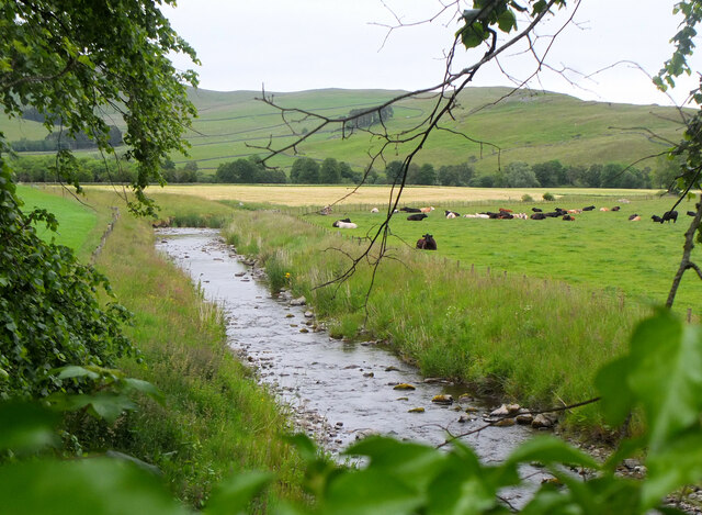
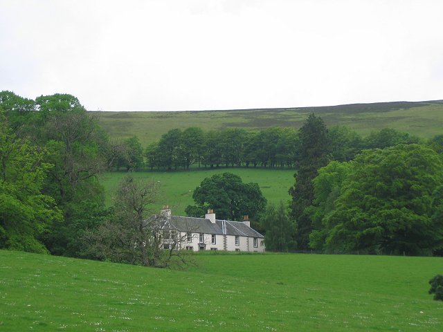
Dooflats Pool, located in Peeblesshire, is a picturesque freshwater marsh that encompasses the characteristics of a lake, pool, pond, and marsh. Spanning an area of approximately 10 acres, it offers a diverse ecosystem and is an important habitat for various plant and animal species.

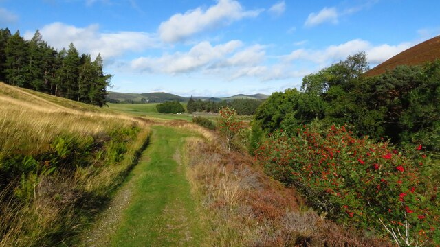
The pool is surrounded by lush vegetation, including reeds, bulrushes, and water lilies, which thrive in its shallow waters. These plants provide shelter and nesting sites for numerous bird species, such as ducks, geese, and herons, making it a popular spot for birdwatching enthusiasts.

The calm and tranquil waters of Dooflats Pool also support a rich aquatic life. Fish species like pike, roach, and perch can be found swimming in its depths, attracting anglers who come to test their skills. Additionally, the pool is home to a variety of amphibians, including frogs, toads, and newts, which can be spotted near the water's edge.

Nature lovers and photographers are drawn to Dooflats Pool for its stunning scenery and abundant wildlife. The pool serves as a breeding ground for dragonflies and damselflies, which add a vibrant splash of color to the landscape during the warmer months.

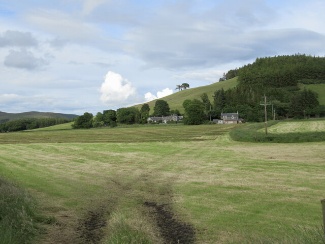
The pool is easily accessible, with a walking trail that winds its way around the perimeter, allowing visitors to explore and appreciate the beauty of this natural habitat. Whether it's for a leisurely stroll, birdwatching, or fishing, Dooflats Pool offers a serene and captivating experience for all nature enthusiasts.

If you have any feedback on the listing, please let us know in the comments section below.

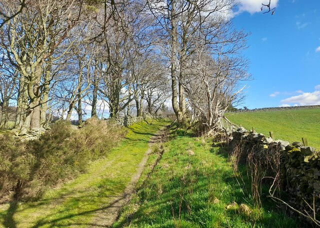
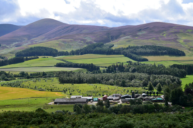
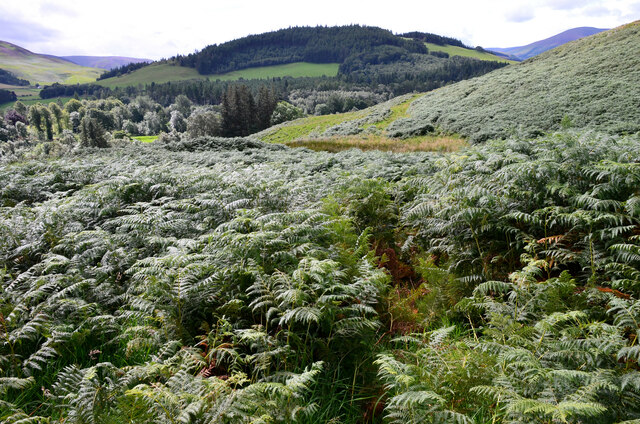
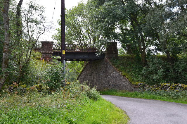
Dooflats Pool Images

Images are sourced within 2km of 55.585008/-3.3932667 or Grid Reference NT1233. Thanks to Geograph Open Source API. All images are credited.

Farmland above Drumelzier
Track beside Drumelzier Burn, southeast of Drumelzier
Trig point on Rachan Hill The remains of a prehistoric hill fort can be traced on the summit of this small hill, but it seems they have been damaged by afforestation in the twentieth century.

More details can be found at <span class="nowrap"><a title="https://canmore.org.uk/site/49911/rachan-hill" rel="nofollow ugc noopener" href="https://canmore.org.uk/site/49911/rachan-hill">Link</a><img style="margin-left:2px;" alt="External link" title="External link - shift click to open in new window" src="https://s1.geograph.org.uk/img/external.png" width="10" height="10"/></span>
Trig point on Rachan Hill
The remains of a prehistoric hill fort can be traced on the summit of this small hill, but it seems they have been damaged by afforestation in the twentieth century. More details can be found at LinkExternal link
View towards Drumelzier Law from Dreva Craig Drumelzier Law rises above low-lying farmland by the River Tweed.
View towards Drumelzier Law from Dreva Craig
Drumelzier Law rises above low-lying farmland by the River Tweed.
Holms Water near Rachan Looking downstream from the bridge on the track from Rachan Home Farm.
Holms Water near Rachan
Looking downstream from the bridge on the track from Rachan Home Farm.
At the top of Mossfennan Brae Looking down towards farmland by the River Tweed.
At the top of Mossfennan Brae
Looking down towards farmland by the River Tweed.
Gentle rise towards Wrae Hill A typical rounded Southern Uplands hill with a mix of grass and heather. A heavy shower is passing through not too far away, hence the dark clouds.
Gentle rise towards Wrae Hill
A typical rounded Southern Uplands hill with a mix of grass and heather. A heavy shower is passing through not too far away, hence the dark clouds.
Sheep grazing on Wrae Hill The distinctive conical shape of Worm Hill forms part of the backdrop.
Sheep grazing on Wrae Hill
The distinctive conical shape of Worm Hill forms part of the backdrop.
Hillside Cottages below Rachan Hill Viewed from the side of the Glenholm road.
Hillside Cottages below Rachan Hill
Viewed from the side of the Glenholm road.
All around the bloomin' heather Heather in full bloom on the hills south of Drumelzier. A grand day to be out in the bloomin' heather though not sure there is wild mountain thyme about.
Very different colours to this scene from October 2020 from about the same spot.
<a title="https://www.geograph.org.uk/photo/6627939" href="https://www.geograph.org.uk/photo/6627939">Link</a>
All around the bloomin' heather
Heather in full bloom on the hills south of Drumelzier. A grand day to be out in the bloomin' heather though not sure there is wild mountain thyme about. Very different colours to this scene from October 2020 from about the same spot. Link
Stubble, Holmsmill
Stubble, Holmsmill
Merlindale Bridge Merlindale Bridge crosses the River Tweed on the B712 at Drumelzier . This minor road runs from Hallyn to Rachan. It is the first bridge to take a classified road over the Tweed downstream from the river's source
Merlindale Bridge
Merlindale Bridge crosses the River Tweed on the B712 at Drumelzier . This minor road runs from Hallyn to Rachan. It is the first bridge to take a classified road over the Tweed downstream from the river's source
Track near Rachan Mill Track near Rachan Mill.
Track near Rachan Mill
Track near Rachan Mill.
Rachan Home Farm The farm seen from the summit of Dreva Craig with the ridge from Logan Head to Drumelzier Law in the background.
Rachan Home Farm
The farm seen from the summit of Dreva Craig with the ridge from Logan Head to Drumelzier Law in the background.
Dense bracken on Dreva Craig Getting to grips with a belt of bracken, head-high in places, on the southern slope.
Dense bracken on Dreva Craig
Getting to grips with a belt of bracken, head-high in places, on the southern slope.
Former railway bridge, Rachan A bridge on the former Caledonian railway between Peebles, Broughton, Biggar and Symington. The last passenger service ran in 1950 and this section between Broughton and Peebles closed completely in 1954. For a view of the other side of the bridge, please see <a href="https://www.geograph.org.uk/photo/6517111">NT1234 : Former railway bridge, Rachan</a>.
Former railway bridge, Rachan
A bridge on the former Caledonian railway between Peebles, Broughton, Biggar and Symington. The last passenger service ran in 1950 and this section between Broughton and Peebles closed completely in 1954. For a view of the other side of the bridge, please see NT1234 : Former railway bridge, Rachan.
Pykestone Hill and Drumelzier Law A circular hill walking loop is possible starting and finishing in the hamlet of Drumelzier.
Pykestone Hill and Drumelzier Law
A circular hill walking loop is possible starting and finishing in the hamlet of Drumelzier.
House at Rachan Mill
Show me another place!

Dooflats Pool is located at Grid Ref: NT1233 (Lat: 55.585008, Lng: -3.3932667)

Unitary Authority: The Scottish Borders

Police Authority: The Lothians and Scottish Borders

What 3 Words

///prospered.backfired.plugs. Near Biggar, South Lanarkshire

Related Wikis

Wrae Tower

Wrae Tower is a ruined 16th-century stone tower house, located in the upper Tweed Valley in the Scottish Borders area of Scotland, and similarly south...

Drumelzier

Drumelzier (), is a village and civil parish on the B712 in the Tweed Valley in the Scottish Borders. The area of the village is extensive and includes...

Mossfennan

Mossfennan is a small settlement in southern Scotland near Drumelzier in the Scottish Borders, in the valley of the River Tweed. Mossfennan is a wooded...

Holms Water

The Holms Water is a river and a tributary of the Biggar Water, which is a tributary of the River Tweed, in the parish of Broughton, Glenholm and Kilbucho...

Nearby Amenities

Located within 500m of 55.585008,-3.3932667
Drumelzier Place
Place: hamlet
Lat/Long: 55.5875315/-3.3904588
Power: pole
Lat/Long: 55.581181/-3.3944701
Power: pole
Lat/Long: 55.5817035/-3.3941359
Power: pole
Lat/Long: 55.5807827/-3.3947385
Power: pole
Lat/Long: 55.5808355/-3.3961751
Power: pole
Lat/Long: 55.5822547/-3.3937847
Power: pole
Lat/Long: 55.5819283/-3.393074
Power: pole
Lat/Long: 55.5819941/-3.3916356
Power: pole
Lat/Long: 55.5820467/-3.3903346
Power: pole
Lat/Long: 55.5821017/-3.3890908
Power: pole
Lat/Long: 55.5821304/-3.3883653
Power: pole
Lat/Long: 55.5813472/-3.3927651
Power: pole
Lat/Long: 55.5808355/-3.3924923
Power: pole
Lat/Long: 55.5829398/-3.3926953
Power: pole
Lat/Long: 55.5834491/-3.3918725
Power: pole
Lat/Long: 55.584775/-3.389755
Power: pole
Lat/Long: 55.5841156/-3.3908081
Power: pole
Lat/Long: 55.5843016/-3.391955
Power: pole
Lat/Long: 55.5844714/-3.3930909
Power: pole
Lat/Long: 55.5847416/-3.3948022
Power: pole
Lat/Long: 55.5849914/-3.3964014
Power: pole
Lat/Long: 55.5851193/-3.3972094
Power: pole
Lat/Long: 55.5849866/-3.3984406
Power: pole
Lat/Long: 55.5848575/-3.3996907
Power: pole
Lat/Long: 55.584732/-3.4009409
Power: pole
Lat/Long: 55.5854924/-3.3957287
Power: pole
Lat/Long: 55.5856824/-3.3954685
Power: pole
Lat/Long: 55.5854708/-3.3886741
Power: pole
Lat/Long: 55.5864117/-3.3871553
Power: pole
Lat/Long: 55.5858259/-3.3881009
Power: pole
Lat/Long: 55.5861128/-3.3886318
Power: pole
Lat/Long: 55.5865217/-3.3893341
Man Made: tower
Tower Type: communication
Lat/Long: 55.5822708/-3.3872213
The data included in this document is from www.openstreetmap.org. The data is made available under ODbL.

Have you been to Dooflats Pool?

Leave your review of Dooflats Pool below (or comments, questions and feedback).