Ath nan Leac
Lake, Pool, Pond, Freshwater Marsh in Caithness
Scotland
Ath nan Leac

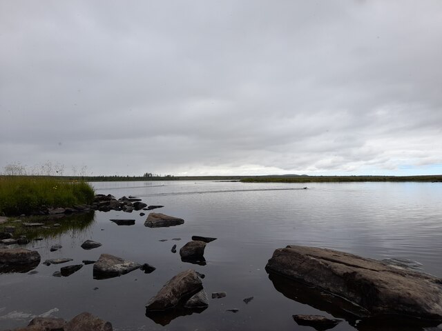
Ath nan Leac, also known as Leac Loch in Gaelic, is a picturesque freshwater marsh located in the Caithness region of Scotland. This enchanting natural feature is situated amidst the stunning Highland landscapes, surrounded by rolling hills and lush greenery.
Covering an area of approximately 10 acres, Ath nan Leac is a small lake or pond that offers a tranquil and serene atmosphere to visitors. The name "Leac" translates to "slate" in English, which indicates the presence of slate-like rocks in the vicinity. These rocks contribute to the overall charm and character of the area.
The marsh is known for its diverse vegetation, which thrives in the moist and fertile environment. Tall reeds, rushes, and water lilies create a vibrant and colorful display, attracting a variety of wildlife. Visitors may spot a range of bird species, including ducks, swans, and herons, as well as frogs, otters, and various insects that inhabit the marsh.
Ath nan Leac is a popular destination for nature lovers, hikers, and photographers who seek to immerse themselves in the beauty of the Scottish Highlands. Its idyllic surroundings provide a peaceful retreat for those looking to escape the hustle and bustle of everyday life.
Access to Ath nan Leac is relatively easy, with a well-maintained path leading visitors to the water's edge. The calm and reflective waters, combined with the stunning natural surroundings, make this freshwater marsh a truly enchanting location within the Caithness region.
If you have any feedback on the listing, please let us know in the comments section below.
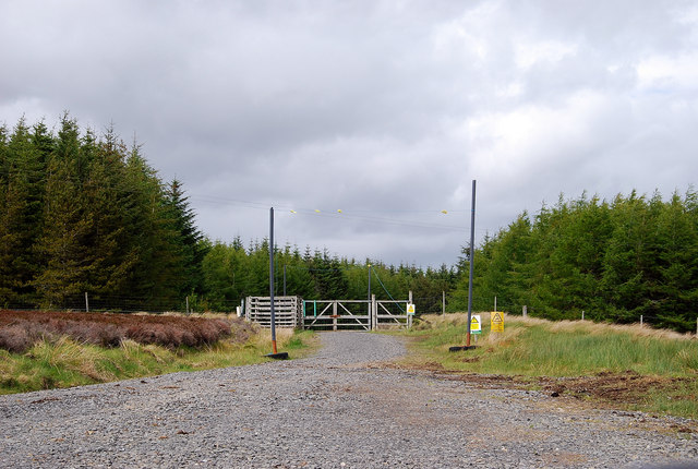
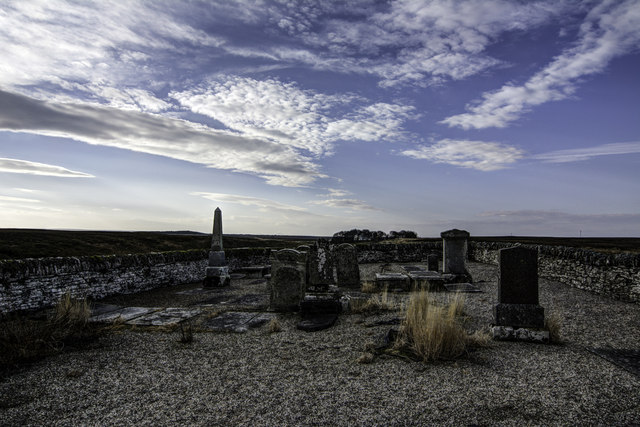
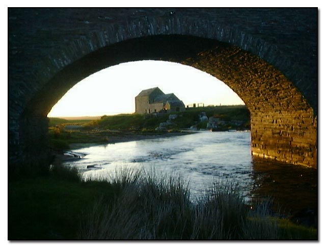
Ath nan Leac Images
Images are sourced within 2km of 58.410267/-3.5325721 or Grid Reference ND1047. Thanks to Geograph Open Source API. All images are credited.


Ath nan Leac is located at Grid Ref: ND1047 (Lat: 58.410267, Lng: -3.5325721)
Unitary Authority: Highland
Police Authority: Highlands and Islands
What 3 Words
///furniture.duos.building. Near Halkirk, Highland
Nearby Locations
Related Wikis

Caithness
Caithness (Scottish Gaelic: Gallaibh [ˈkal̪ˠɪv]; Scots: Caitnes; Old Norse: Katanes) is a historic county, registration county and lieutenancy area of...

Tormsdale
Tormsdale is a megalithic site on the banks of the River Thurso, in Caithness, Scotland. It is 3 kilometres (1.9 mi) south of Westerdale. The site consists...
Westerdale, Highland
Westerdale (Scottish Gaelic: An Dail Shuas) is a scattered crofting village which lies on the River Thurso, located five miles (eight kilometres) directly...

Olgrinmore
Olgrinmore is a small area in Halkirk, Northern Scotland, south of Thurso and John o' Groats. The B870 runs directly through the centre with Scotscalder...
Mybster
Mybster is a small village, in Caithness, Scottish Highlands, and is in the Scottish council area of Highland.Mybster lies 2 miles (3 km) northwest of...
Scotscalder
Scots Calder is an area within Halkirk, Northern Scotland. It is served by Scotscalder railway station which is operated by ScotRail. The B870 runs directly...
Dorrery
Dorrery is a small hamlet lying to the east of Ben Dorrery in the district of Halkirk in Caithness, Scottish Highlands and is in the Scottish council...

Ca na Catanach
Ca na Catanach (translation: "Sutherland Men's Path") is a road and footpath between Sutherland and Caithness through the moorland in the northeastern...
Nearby Amenities
Located within 500m of 58.410267,-3.5325721Have you been to Ath nan Leac?
Leave your review of Ath nan Leac below (or comments, questions and feedback).