Fruid Reservoir

Lake, Pool, Pond, Freshwater Marsh in Peeblesshire

Scotland

Fruid Reservoir

Ruins of Over Menzion An old sheep farm surrounded by forest.
Ruins of Over Menzion Credit: wrobison

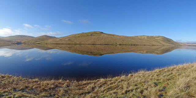
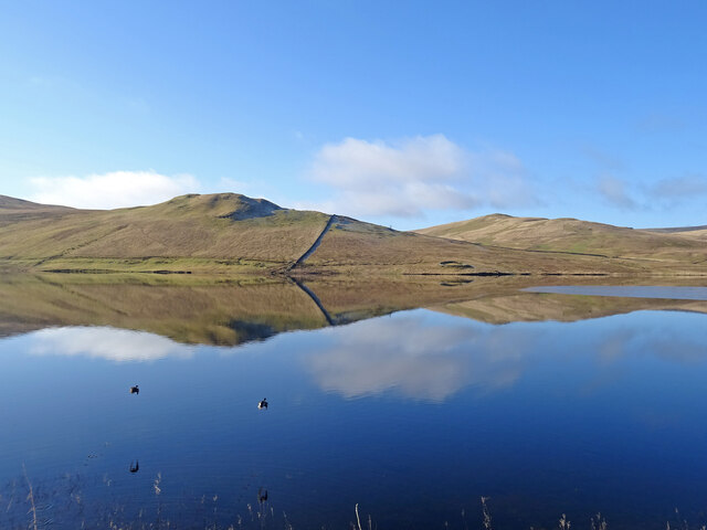
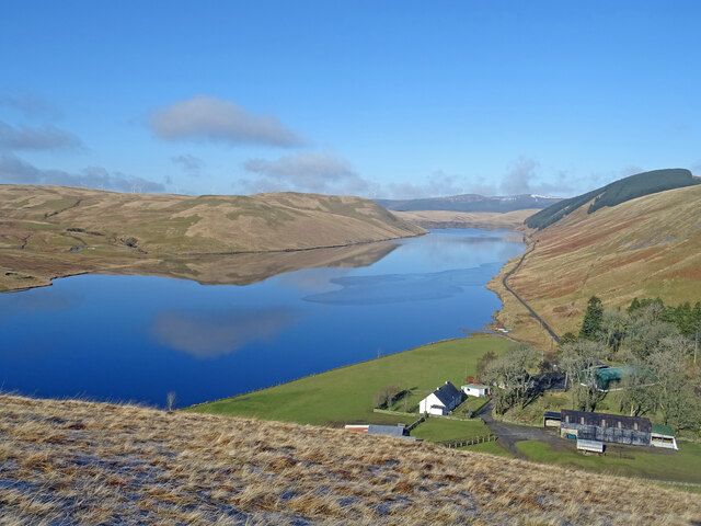
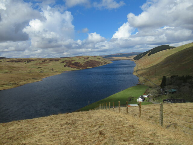
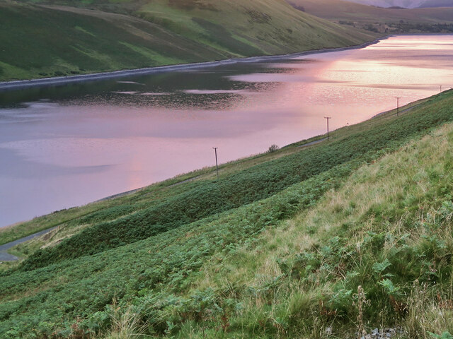
Fruid Reservoir is a picturesque freshwater lake located in Peeblesshire, Scotland. Nestled against the backdrop of rolling hills and lush greenery, it covers an area of approximately 87 hectares. The reservoir was constructed in the mid-20th century to serve as a water source for nearby towns and villages.

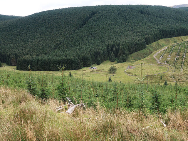
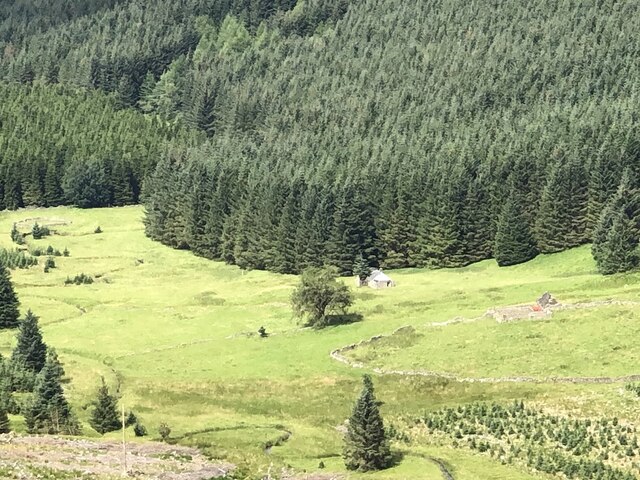
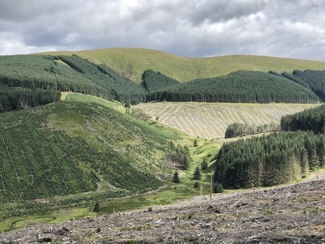
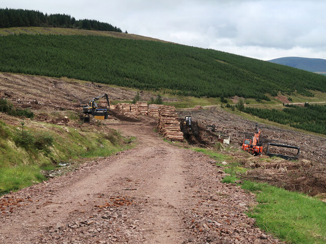
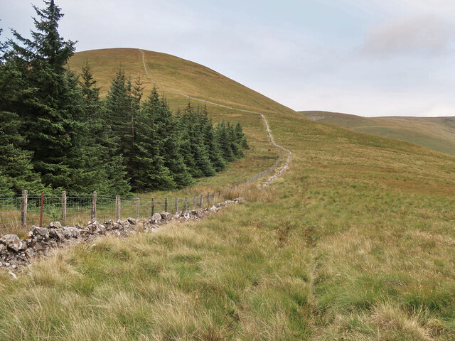
The lake is fed by the Fruid Water, a small river that flows through the surrounding hills before entering the reservoir. It is surrounded by a mix of woodlands and open moorland, providing a diverse habitat for various species of flora and fauna.

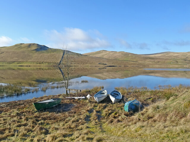
The tranquil waters of Fruid Reservoir are home to a variety of freshwater fish, including brown trout and pike, making it a popular spot for anglers. Fishing permits are available for visitors who wish to try their luck at catching these elusive fish.

In addition to its recreational value, the reservoir also plays an important role in supporting the local ecosystem. Its marshy areas provide a breeding ground for waterfowl, such as mallards and tufted ducks, as well as a habitat for amphibians and aquatic plants.

Fruid Reservoir offers a range of outdoor activities for nature enthusiasts and visitors seeking tranquility. Surrounding walking trails allow visitors to explore the area and soak in the breathtaking scenery. Additionally, the reservoir is a popular spot for birdwatching, with the possibility of spotting various species of water birds throughout the year.

Overall, Fruid Reservoir is a haven of natural beauty and biodiversity, attracting both locals and tourists alike with its serene waters and stunning surroundings.

If you have any feedback on the listing, please let us know in the comments section below.

Fruid Reservoir Images

Images are sourced within 2km of 55.458819/-3.430106 or Grid Reference NT0919. Thanks to Geograph Open Source API. All images are credited.

Ruins of Over Menzion An old sheep farm surrounded by forest.
Ruins of Over Menzion
An old sheep farm surrounded by forest.
Young trees on Scaddow Knowes Looking across Laird's Cleuch from the Silver Jubilee Road.
Young trees on Scaddow Knowes
Looking across Laird's Cleuch from the Silver Jubilee Road.
Menzion Forest Across the headwaters of the Menzion Burn to a distant Hart Fell.
Menzion Forest
Across the headwaters of the Menzion Burn to a distant Hart Fell.
Silver Jubilee Road, Laird's Cleuch Headwater of the Menzion Burn with the ridge above Gameshope in the background.
Silver Jubilee Road, Laird's Cleuch
Headwater of the Menzion Burn with the ridge above Gameshope in the background.
Silver Jubilee Road, Laird's Cleuch Across Lairds Cleuch to further along the loop road.
Silver Jubilee Road, Laird's Cleuch
Across Lairds Cleuch to further along the loop road.
Over Menzion Ruin, a relic from sheep farming here.
Over Menzion
Ruin, a relic from sheep farming here.
Menzion Forest View towards Broad Law.
Menzion Forest
View towards Broad Law.
Mezion Burn and Garelet Hill Forestry, Menzion.
Mezion Burn and Garelet Hill
Forestry, Menzion.
Hills Reflected Fruid Reservoir acting like a mirror on the first day of meteorological spring.
Across the reservoir is Shiel Dod, while to the left are Macrule Hill and Ballaman Hill. A grand day to be out in Borders hills.
Hills Reflected
Fruid Reservoir acting like a mirror on the first day of meteorological spring. Across the reservoir is Shiel Dod, while to the left are Macrule Hill and Ballaman Hill. A grand day to be out in Borders hills.
Taking Flight Two geese have just taken flight after I surprised them at the edge of Fruid Reservoir. The hill to the left of the prominent wall is called Big Knock.
Taking Flight
Two geese have just taken flight after I surprised them at the edge of Fruid Reservoir. The hill to the left of the prominent wall is called Big Knock.
Boats by the Water Several dinghies are pulled up on the shores of Fruid Reservoir. The hills are reflected on the first day of spring.
Boats by the Water
Several dinghies are pulled up on the shores of Fruid Reservoir. The hills are reflected on the first day of spring.
Above Fruid Looking down the length of Fruid Reservoir from the lower slopes of Strawberry Hill with Fruid Farm at the bottom of the picture.
Above Fruid
Looking down the length of Fruid Reservoir from the lower slopes of Strawberry Hill with Fruid Farm at the bottom of the picture.
The Long and Slightly Winding Road As viewed from Strawberry Hill you can see a car making its way along the nearly 2 miles of road from Fruid dam to the farm at the end of the road. The first day of spring and it is a glorious day to be out in the hills.
The Long and Slightly Winding Road
As viewed from Strawberry Hill you can see a car making its way along the nearly 2 miles of road from Fruid dam to the farm at the end of the road. The first day of spring and it is a glorious day to be out in the hills.
Fruid Reservoir viewed from Strawberry Hill The farm buildings at Fruid are visible below, with some of the turbines of the vast Clyde Wind Farm on the distant horizon.
Fruid Reservoir viewed from Strawberry Hill
The farm buildings at Fruid are visible below, with some of the turbines of the vast Clyde Wind Farm on the distant horizon.
Log piles beside the Silver Jubilee Road
Old sheepfolds beside the Menzion burn Surrounded by forestry.
Old sheepfolds beside the Menzion burn
Surrounded by forestry.
Col between Capilus Hill and Erie Hill Looking towards Erie Hill.
Col between Capilus Hill and Erie Hill
Looking towards Erie Hill.
Steep slope down to the Fruid Reservoir A view down to the reservoir at sunset.
Steep slope down to the Fruid Reservoir
A view down to the reservoir at sunset.
Show me another place!

Fruid Reservoir is located at Grid Ref: NT0919 (Lat: 55.458819, Lng: -3.430106)

Unitary Authority: The Scottish Borders

Police Authority: The Lothians and Scottish Borders

What 3 Words

///desire.legal.unloading. Near Moffat, Dumfries & Galloway

Nearby Locations

The Bank Fruid Reservoir

Related Wikis

Fruid Reservoir

Fruid is a small reservoir in the Scottish Borders area of Scotland, UK, near Menzion. It is formed by damming the Fruid Water, and supplements the contents...

Fruid Water

Fruid Water is a river in the Scottish Borders area of Scotland. The valley it occupies has been dammed to form the Fruid Reservoir. The river is a tributary...

Talla Reservoir

Talla Reservoir, located a mile from Tweedsmuir, Scottish Borders, Scotland, is an earth-work dam fed by Talla Water. The reservoir is supplemented by...

Hawkshaw, Scottish Borders

Hawkshaw is a pair of semi-detached houses on the River Tweed, two miles southwest of Tweedsmuir in the Scottish Borders. Historically part of Peeblesshire...

Nearby Amenities

Located within 500m of 55.458819,-3.430106
Power: pole
Lat/Long: 55.4574628/-3.4231645
Power: pole
Lat/Long: 55.4580073/-3.4240783
Power: pole
Lat/Long: 55.4584919/-3.4248842
Power: pole
Lat/Long: 55.4589632/-3.4256669
Power: pole
Lat/Long: 55.4594646/-3.4265067
Power: pole
Lat/Long: 55.4600894/-3.4275474
Power: pole
Lat/Long: 55.4606243/-3.4286305
Power: pole
Lat/Long: 55.4610825/-3.429576
Power: pole
Lat/Long: 55.4615142/-3.4304116
Power: pole
Lat/Long: 55.4619292/-3.4312323
Power: pole
Lat/Long: 55.4623333/-3.4320615
The data included in this document is from www.openstreetmap.org. The data is made available under ODbL.

Have you been to Fruid Reservoir?

Leave your review of Fruid Reservoir below (or comments, questions and feedback).