Harperrig Reservoir

Lake, Pool, Pond, Freshwater Marsh in Midlothian

Scotland

Harperrig Reservoir

The Water of Leith near West Cairns The headstreams on the slopes of West Cairn combine to become the Water of Leith near Colzium. It flows into Harperrig Reservoir and out to Balerno, from which it can be followed to Leith on the excellent footpath through Edinburgh.
The Water of Leith near West Cairns Credit: Jim Barton

Harperrig Reservoir is a freshwater reservoir located in Midlothian, Scotland. Situated in the scenic Pentland Hills, it serves multiple purposes, including water supply, flood management, and recreational activities. The reservoir covers an area of approximately 65 hectares and has a maximum depth of around 15 meters.

As a water supply source, Harperrig Reservoir plays a vital role in providing clean and fresh water to the nearby communities. It is managed by Scottish Water, ensuring that the water quality is maintained and meets the required standards.

The reservoir also serves as a flood management facility, helping to prevent downstream flooding during periods of heavy rainfall. It acts as a storage facility, capturing excess water and releasing it slowly to control the water levels in the surrounding areas.

In addition to its functional purposes, Harperrig Reservoir attracts visitors who seek recreational opportunities. The tranquil and picturesque surroundings make it an ideal spot for fishing, with common species including brown trout, rainbow trout, and perch. Anglers can enjoy a peaceful day by the water's edge, casting their lines and trying to catch a prized fish.

Harperrig Reservoir is also a haven for birdwatchers and nature enthusiasts. The surrounding area is home to a variety of bird species, including the great crested grebe, tufted duck, and common tern. Visitors can observe these birds in their natural habitats, as well as explore the nearby walking trails that offer stunning views of the reservoir and its surroundings.

Overall, Harperrig Reservoir combines functionality with natural beauty, providing essential services to the community while offering a peaceful retreat for outdoor enthusiasts.

If you have any feedback on the listing, please let us know in the comments section below.

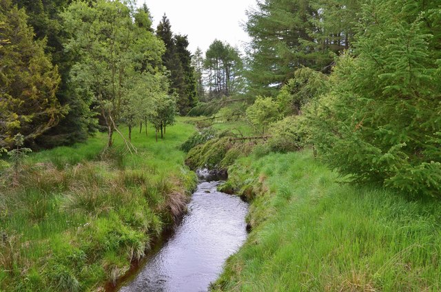
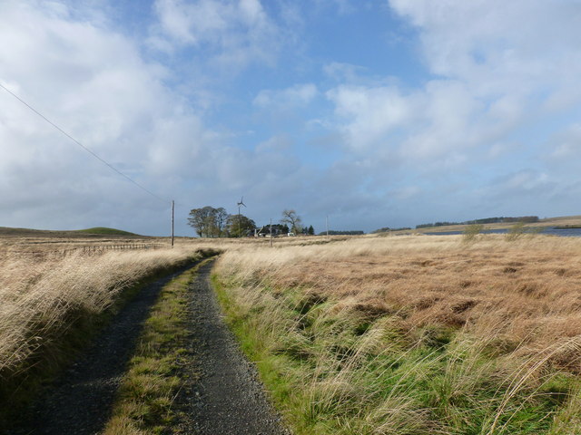
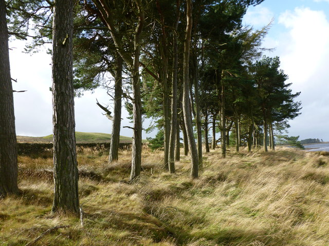
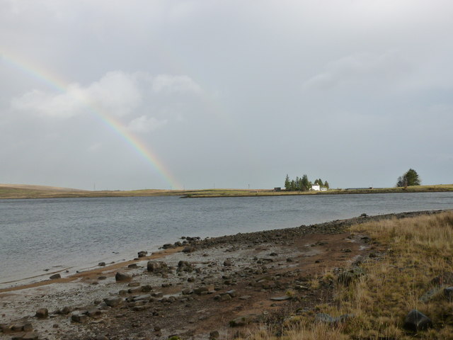
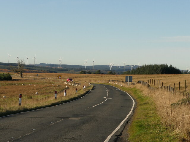
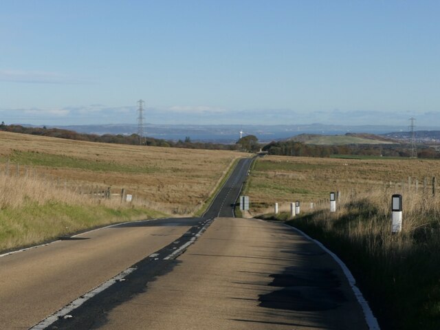
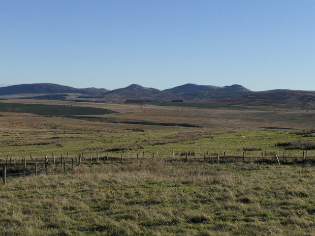
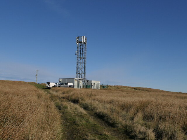
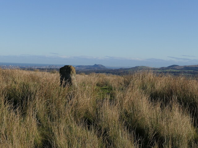
Harperrig Reservoir Images

Images are sourced within 2km of 55.833956/-3.4440381 or Grid Reference NT0961. Thanks to Geograph Open Source API. All images are credited.

The Water of Leith near West Cairns The headstreams on the slopes of West Cairn combine to become the Water of Leith near Colzium. It flows into Harperrig Reservoir and out to Balerno, from which it can be followed to Leith on the excellent footpath through Edinburgh.
The Water of Leith near West Cairns
The headstreams on the slopes of West Cairn combine to become the Water of Leith near Colzium. It flows into Harperrig Reservoir and out to Balerno, from which it can be followed to Leith on the excellent footpath through Edinburgh.
Track to Baad Park This place name may derive from the Gaelic word 'bad' meaning thicket, tuft or clump.
Track to Baad Park
This place name may derive from the Gaelic word 'bad' meaning thicket, tuft or clump.
Scots pines by Harperrig Reservoir A plantation of mature trees near Baad Park.
Scots pines by Harperrig Reservoir
A plantation of mature trees near Baad Park.
Rainbow at Harperrig A view over the reservoir to the whitewashed farmhouse at Harperrig, in the Pentland Hills Regional Park.
Rainbow at Harperrig
A view over the reservoir to the whitewashed farmhouse at Harperrig, in the Pentland Hills Regional Park.
Lang Whang, Auchinoon Hill The A70 passing Harperrig Reservoir with the wind turbines at Harburnhead in the background.
Lang Whang, Auchinoon Hill
The A70 passing Harperrig Reservoir with the wind turbines at Harburnhead in the background.
Lang Whang, Auchinoon Hill Edinburgh bound view on the A70. This is a hill crest with limited visibility and the road has a high friction gabbro coating.
Lang Whang, Auchinoon Hill
Edinburgh bound view on the A70. This is a hill crest with limited visibility and the road has a high friction gabbro coating.
A Pentland view Looking over the A70 at Auchinoon towards Black Hill, Turnhouse Hill, Carnethy Hill, Scald Law and the Kips.
A Pentland view
Looking over the A70 at Auchinoon towards Black Hill, Turnhouse Hill, Carnethy Hill, Scald Law and the Kips.
Auchinoon Hill A mobile telephone mast with folk working on it. The summit with its standing stone is behind the mast to the right.
Auchinoon Hill
A mobile telephone mast with folk working on it. The summit with its standing stone is behind the mast to the right.
Summit, Auchinoon Hill Edinburgh in the background.
Summit, Auchinoon Hill
Edinburgh in the background.
Harperrig Reservoir View towards East Cairn Hill and Harperrig Reservoir from Auchinoon Hill.
Harperrig Reservoir
View towards East Cairn Hill and Harperrig Reservoir from Auchinoon Hill.
Swimmer, Harperrig Reservoir
Harperrig Reservoir
Harperrig Reservoir
Head of Harperrig Reservoir A small area west of the road to Cairns Castle.
Head of Harperrig Reservoir
A small area west of the road to Cairns Castle.
Road, Cairns Castle An embankment across Harperrig Reservoir.
Road, Cairns Castle
An embankment across Harperrig Reservoir.
Cairns Castle Beside Harperrig Reservoir. There is a path between the ruin and water, another path to the hill has been kindly blocked off by the folk at Cairns.  Cheers nice people.
Cairns Castle
Beside Harperrig Reservoir. There is a path between the ruin and water, another path to the hill has been kindly blocked off by the folk at Cairns. Cheers nice people.
Road to Causewood Poultry sheds on right
Road to Causewood
Poultry sheds on right
At bend on A70 In distance road rising above 300m
At bend on A70
In distance road rising above 300m
Cairns Castle Bridge Water of Leith entering Harperrig Reservoir
Cairns Castle Bridge
Water of Leith entering Harperrig Reservoir
Show me another place!

Harperrig Reservoir is located at Grid Ref: NT0961 (Lat: 55.833956, Lng: -3.4440381)

Unitary Authority: West Lothian

Police Authority: The Lothians and Scottish Borders

What 3 Words

///storybook.gliders.vegetable. Near Kirknewton, West Lothian

Nearby Locations

Harperrig Reservoir

Related Wikis

Harperrig Reservoir

Harperrig Reservoir is a reservoir in West Lothian, Scotland, to the north of the Pentland Hills, four miles (6.4 km) south of Mid Calder. The Water of...
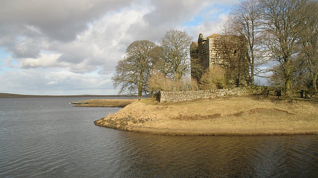
Cairns Castle

Cairns Castle is a ruined keep, dating from the 15th century. It is located on the northern slope of the Pentland Hills, around 6.5 miles (10.5 km) south...

West Cairn Hill

West Cairn Hill is a hill in the Pentland Hills range of Scotland. With a height of 562 m (1,844 ft), it is the fifth highest elevation and lies on the...

Cauldstane Slap

Cauldstane Slap is a pass located in the Pentland Hills of Scotland. It marks the border between the neighboring council areas of West Lothian and Scottish...

Nearby Amenities

Located within 500m of 55.833956,-3.4440381
The data included in this document is from www.openstreetmap.org. The data is made available under ODbL.

Have you been to Harperrig Reservoir?

Leave your review of Harperrig Reservoir below (or comments, questions and feedback).