Graby

Settlement in Lincolnshire South Kesteven

England

Graby

Sovereign Street crossing Pointon Lode into Aslackby
Sovereign Street crossing Pointon Lode into Aslackby Credit: Tim Heaton

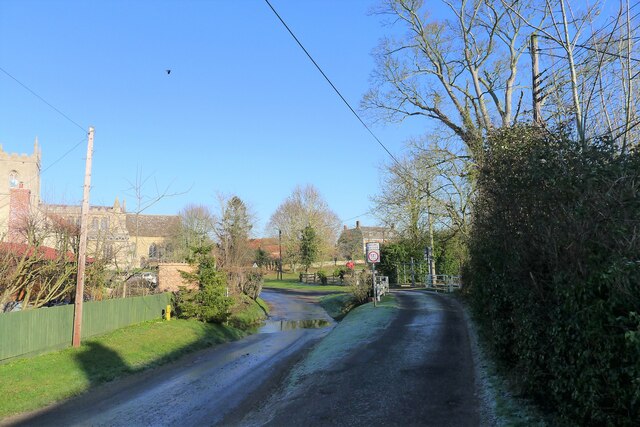
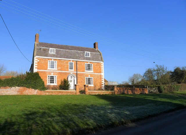
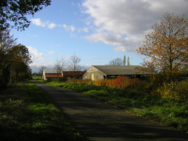
Graby is a small village located in the ceremonial county of Lincolnshire, England. Situated approximately 6 miles south of the town of Grantham, Graby has a population of around 200 residents. The village is set amidst picturesque countryside, with rolling hills and open fields surrounding it.

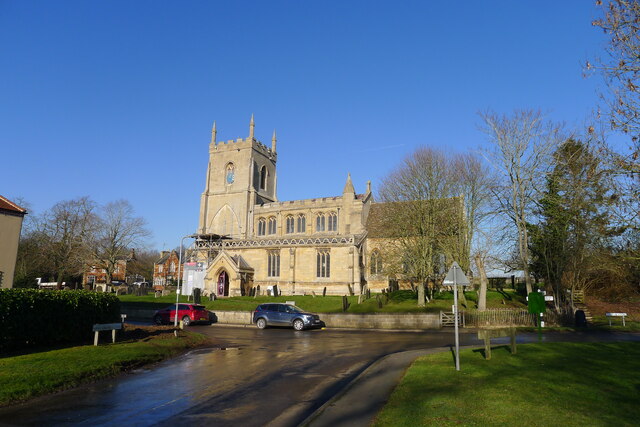
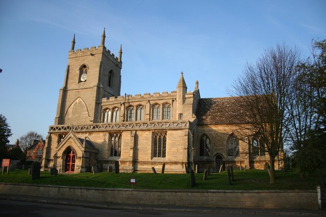
Graby is known for its historical significance, with its origins dating back to medieval times. The village is home to St. Nicholas Church, a Grade II listed building that dates back to the 12th century. The church features beautiful stained glass windows and a striking tower, making it a prominent landmark in the area.

Despite its small size, Graby offers a peaceful and idyllic setting for residents and visitors alike. The village has a strong sense of community, with various local events and activities taking place throughout the year. The nearby countryside provides ample opportunities for outdoor pursuits such as walking, cycling, and bird-watching.

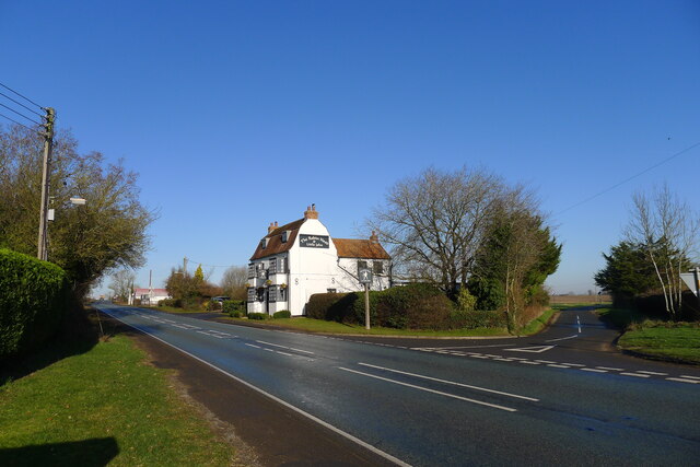
For amenities, Graby is in close proximity to the larger town of Grantham, which offers a wider range of services including shops, schools, and healthcare facilities. The village benefits from good transport links, with the A1 road passing nearby, providing easy access to other parts of the county.

In summary, Graby is a charming and historic village in Lincolnshire, offering a tranquil and scenic environment for those seeking a slower pace of life. Its rich history, beautiful church, and rural surroundings make it an appealing destination for both residents and visitors.

If you have any feedback on the listing, please let us know in the comments section below.
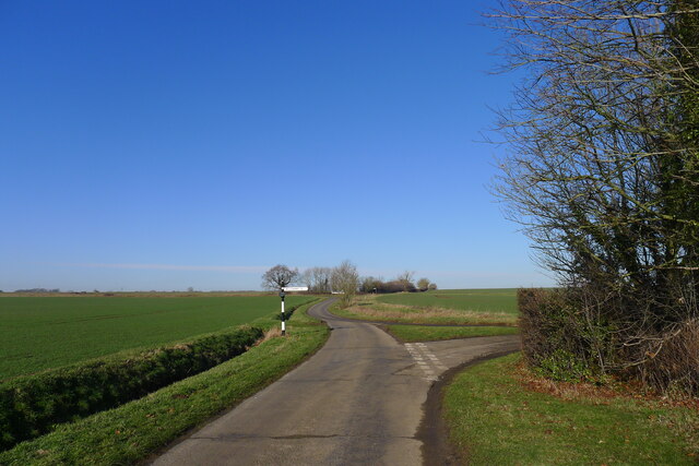
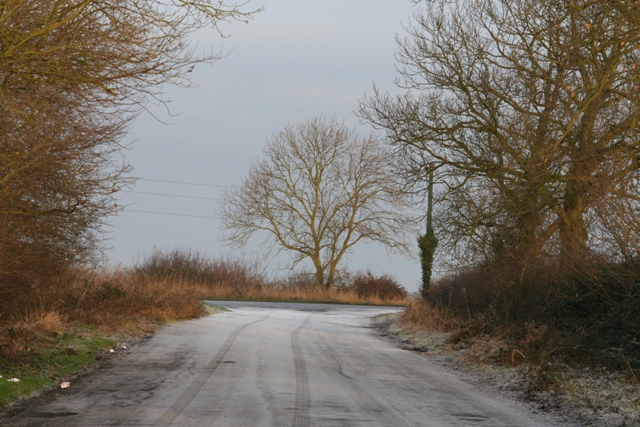
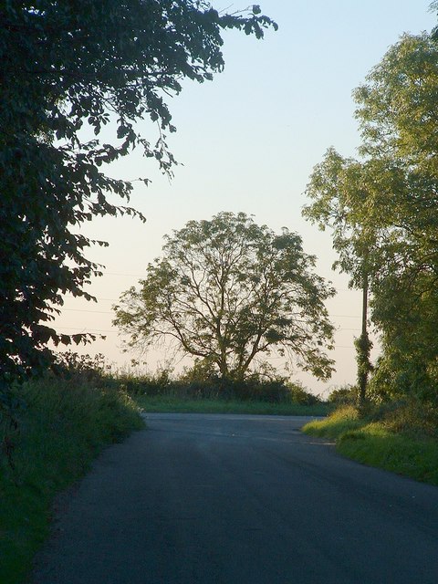
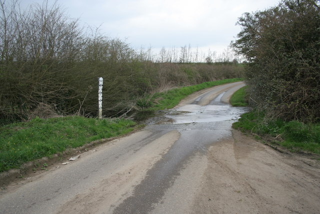
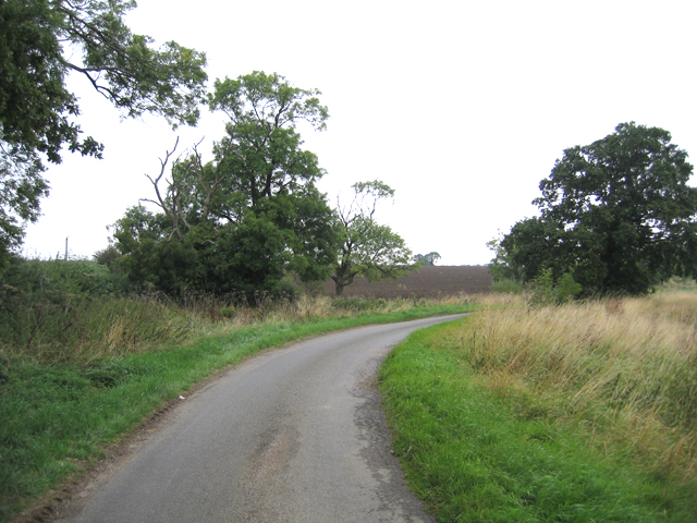
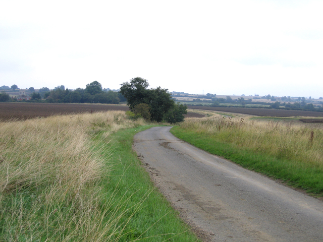
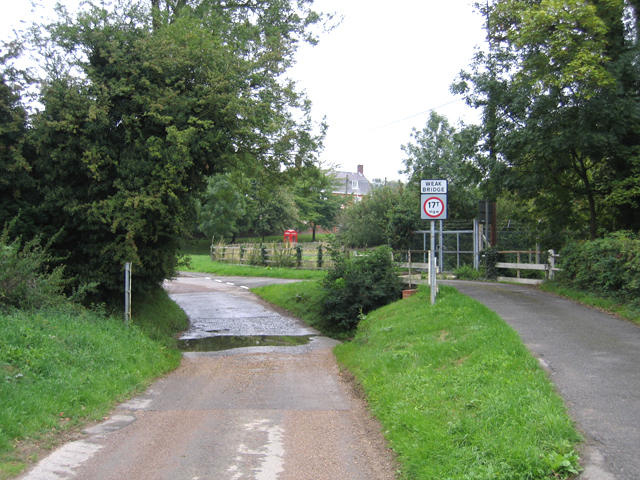
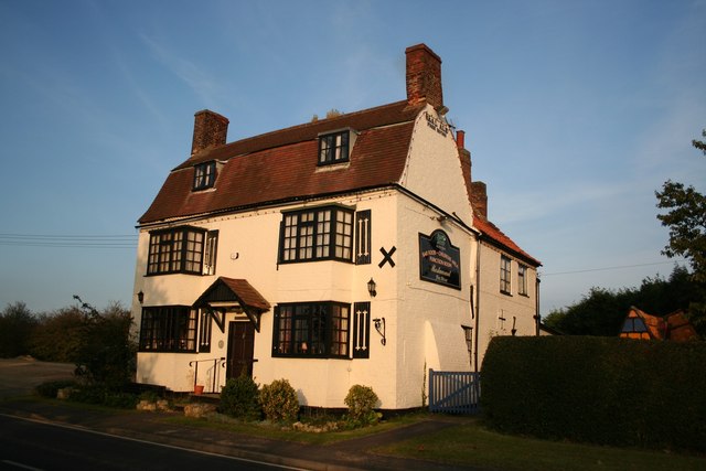
Graby Images

Images are sourced within 2km of 52.852696/-0.371584 or Grid Reference TF0929. Thanks to Geograph Open Source API. All images are credited.

Sovereign Street crossing Pointon Lode into Aslackby
Church of St James, Aslackby Listed Grade I, from the 13th century <span class="nowrap"><a title="https://www.robschurches.com/aslackby" rel="nofollow ugc noopener" href="https://www.robschurches.com/aslackby">Link</a><img style="margin-left:2px;" alt="External link" title="External link - shift click to open in new window" src="https://s1.geograph.org.uk/img/external.png" width="10" height="10"/></span>
Church of St James, Aslackby
Listed Grade I, from the 13th century LinkExternal link
Moorfield House, Aslackby Late 18th to mid 19th century farmhouse <span class="nowrap"><a title="https://historicengland.org.uk/listing/the-list/list-entry/1317654?section=official-list-entry" rel="nofollow ugc noopener" href="https://historicengland.org.uk/listing/the-list/list-entry/1317654?section=official-list-entry">Link</a><img style="margin-left:2px;" alt="External link" title="External link - shift click to open in new window" src="https://s1.geograph.org.uk/img/external.png" width="10" height="10"/></span>
Moorfield House, Aslackby
Late 18th to mid 19th century farmhouse LinkExternal link
The A15 passing the Robin Hood and Little John Popular pub restaurant, and a great pint of Black Sheep. <span class="nowrap"><a title="https://heritage-explorer.lincolnshire.gov.uk/Monument/MLI121668" rel="nofollow ugc noopener" href="https://heritage-explorer.lincolnshire.gov.uk/Monument/MLI121668">Link</a><img style="margin-left:2px;" alt="External link" title="External link - shift click to open in new window" src="https://s1.geograph.org.uk/img/external.png" width="10" height="10"/></span> describes it as an 19th century farmhouse
The A15 passing the Robin Hood and Little John
Popular pub restaurant, and a great pint of Black Sheep. LinkExternal link describes it as an 19th century farmhouse
Mareham Lane (Roman road) north of Graby The modern Mareham Lane runs from near Graby, Lincolnshire, due north for about 10.5 miles to Sleaford. Much of its length follows the route of a Roman road, Margary number 260, which ran for about 16 miles from Bourne to Sleaford (Margary, I.D., 1955. Roman roads in Britain, volume 1)
Mareham Lane (Roman road) north of Graby
The modern Mareham Lane runs from near Graby, Lincolnshire, due north for about 10.5 miles to Sleaford. Much of its length follows the route of a Roman road, Margary number 260, which ran for about 16 miles from Bourne to Sleaford (Margary, I.D., 1955. Roman roads in Britain, volume 1)
Rippingale village - map and historical information Completed for the millennium
Rippingale village - map and historical information
Completed for the millennium
St.James' church, Aslackby, Lincs. The village name is pronounced 'Ayzelbee' and there was a Preceptory of the Knights Templar founded here in 1154, but nothing remains. St.James church has a Victorian chancel of 1856 and a Perpendicular clerestory on a 14th century Decorated nave.
St.James' church, Aslackby, Lincs.
The village name is pronounced 'Ayzelbee' and there was a Preceptory of the Knights Templar founded here in 1154, but nothing remains. St.James church has a Victorian chancel of 1856 and a Perpendicular clerestory on a 14th century Decorated nave.
St.Andrew's church, Rippingale, Lincs. A grand Perpendicular tower of St.Andrew's is a prominent landmark in this part of Lincolnshire, the church is a curious nave and chancel in one with a six bay arcade of c1300
St.Andrew's church, Rippingale, Lincs.
A grand Perpendicular tower of St.Andrew's is a prominent landmark in this part of Lincolnshire, the church is a curious nave and chancel in one with a six bay arcade of c1300
The Tree This tree is on the A15. It is south of the Graby turn off and the photo was taken from a layby to the east of the A15. This layby was in part on the old Roman Road.
The Tree
This tree is on the A15. It is south of the Graby turn off and the photo was taken from a layby to the east of the A15. This layby was in part on the old Roman Road.
The tree in Autumn One of a series of pictures of this tree over the years
The tree in Autumn
One of a series of pictures of this tree over the years
Ford between Graby and Aslackby
Country lane, Aslackby, Lincs
Country lane, Aslackby, Lincs looking NNE towards the village.
Country lane, Aslackby, Lincs
looking NNE towards the village.
Ford in Aslackby village, Lincs
Robin Hood and Little John Historic, early 19th century coaching inn at Aslackby called the Robin Hood and Little John.

All you men who think it good
Come have a drink with Robin Hood
If Robin Hood abroad has gone
Then have a drink with Little John
Robin Hood and Little John
Historic, early 19th century coaching inn at Aslackby called the Robin Hood and Little John. All you men who think it good Come have a drink with Robin Hood If Robin Hood abroad has gone Then have a drink with Little John
St.James' church
St.James' church
Farm buildings (Pointon Cottage Farm) Previously part of Pointon Cottage Farm.  The furthest building has been converted to house documents for a secure document archive company.
Farm buildings (Pointon Cottage Farm)
Previously part of Pointon Cottage Farm. The furthest building has been converted to house documents for a secure document archive company.
St Andrew's Church and the Bull Inn, Rippingale
Show me another place!

Graby is located at Grid Ref: TF0929 (Lat: 52.852696, Lng: -0.371584)

Division: Parts of Kesteven

Administrative County: Lincolnshire

District: South Kesteven

Police Authority: Lincolnshire

What 3 Words

///firepower.backers.softest. Near Billingborough, Lincolnshire

Nearby Locations

Graby

Related Wikis

Aslackby Preceptory

Aslackby Preceptory in Lincolnshire lay to the south-east of Aslackby Church. Until about 1891 a tower, possibly of the preceptory church, together with...

Dowsby Hall

Dowsby Hall is an early 17th-century house situated in Dowsby, Lincolnshire, England, and 6 miles (10 km) to the north of Bourne. Originally a much grander...

St James' Church, Aslackby

St James the Great Church is a Grade I listed Church of England parish church dedicated to James, son of Zebedee in Aslackby, Lincolnshire, England. The...

Dowsby

Dowsby is a village and civil parish in the South Kesteven district of Lincolnshire, England. It is situated on the western edge of The Fens at the junction...

Nearby Amenities

Located within 500m of 52.852696,-0.371584
Graby
Place: hamlet
Lat/Long: 52.8528381/-0.3698522
Graby Farm
Place: farm
Source: Bing
Lat/Long: 52.8525595/-0.3670563
Manor Farm
Place: farm
Source: Bing
Lat/Long: 52.8532206/-0.3712241
Power: pole
Lat/Long: 52.851743/-0.3683748
Power: pole
Lat/Long: 52.8517649/-0.3653584
Power: pole
Lat/Long: 52.8517668/-0.3666127
Power: pole
Lat/Long: 52.8519456/-0.3695022
Man Made: tower
Tower Type: communication
Lat/Long: 52.8523367/-0.3660386
The data included in this document is from www.openstreetmap.org. The data is made available under ODbL.

Have you been to Graby?

Leave your review of Graby below (or comments, questions and feedback).