Bog Pool
Lake, Pool, Pond, Freshwater Marsh in Perthshire
Scotland
Bog Pool
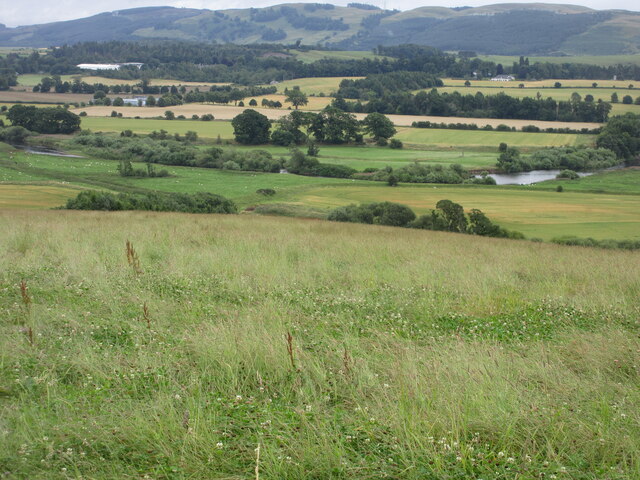
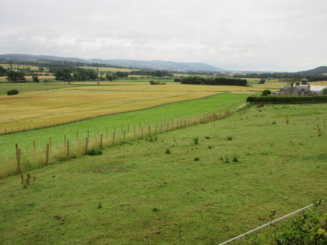
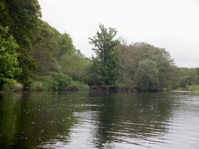
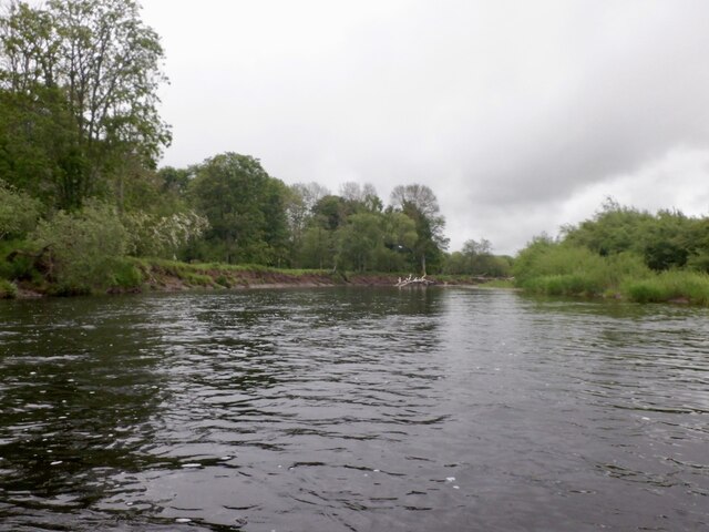
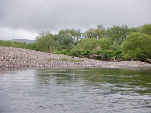
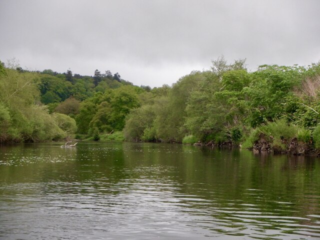
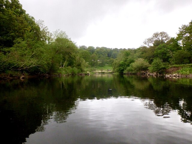
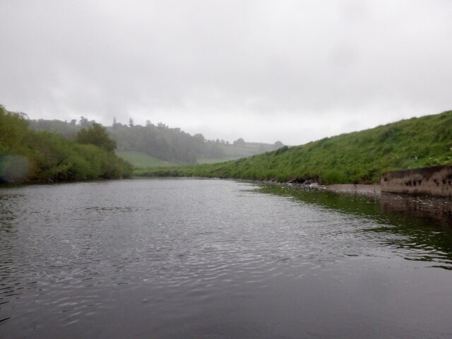
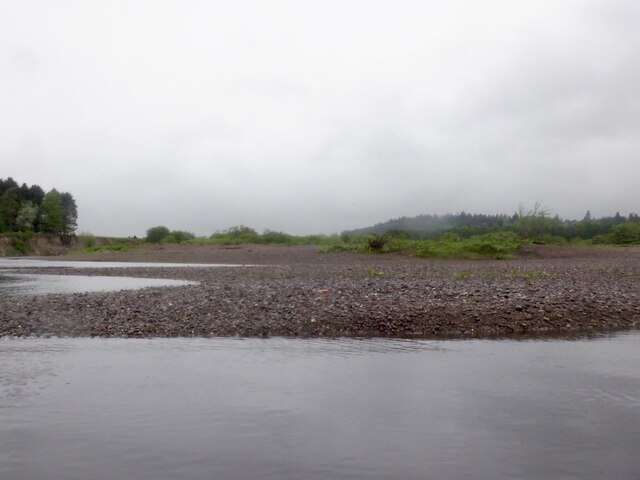
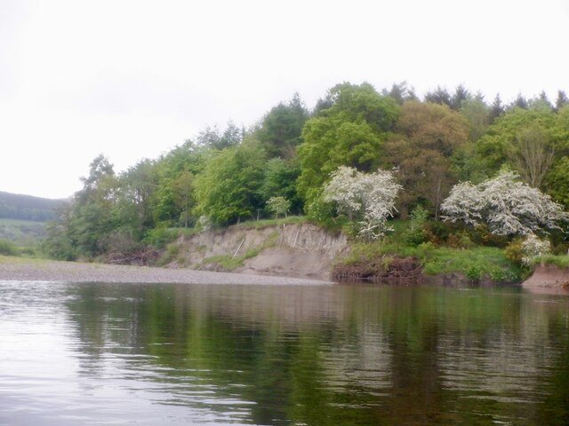
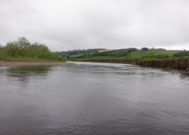
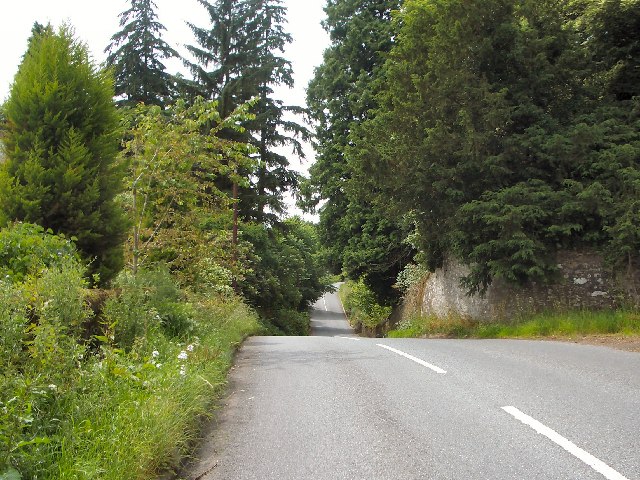
Bog Pool, located in Perthshire, Scotland, is a small freshwater marsh that serves as an important ecological habitat within the region. This unique wetland area is characterized by its calm, still waters and is often classified as a pool or a pond due to its smaller size. It covers an area of approximately 1.5 hectares and is surrounded by a diverse array of plant and animal species.
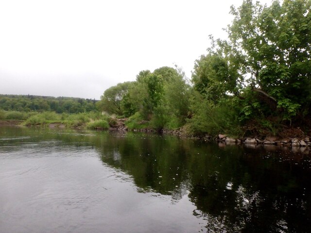
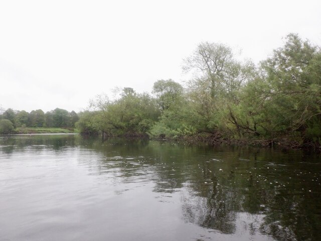
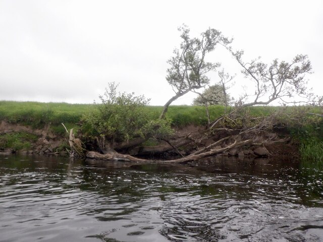
The water in Bog Pool is typically acidic and contains a high concentration of organic matter, which contributes to the growth of various aquatic plants. These plants, such as reeds and rushes, create a dense vegetation cover along the pool's edges, providing shelter and nesting sites for a variety of bird species.
The pool itself is home to a range of aquatic life, including frogs, newts, and small fish. These species thrive in the shallow waters, which offer ample food sources and protection from predators. Additionally, insects such as dragonflies and damselflies are commonly seen hovering over the water's surface, adding to the pool's vibrant biodiversity.
Bog Pool also plays a crucial role in water filtration and conservation. Its marshy vegetation acts as a natural filter, purifying the water by trapping sediments and absorbing excess nutrients. This function helps to maintain the overall water quality, benefiting the surrounding ecosystem and downstream water bodies.
Visitors to Bog Pool can enjoy the tranquil surroundings and observe the diverse wildlife that calls this wetland habitat home. The pool's accessibility, combined with its natural beauty and ecological significance, makes it a popular destination for nature enthusiasts and those seeking a peaceful retreat in the heart of Perthshire.
If you have any feedback on the listing, please let us know in the comments section below.
Bog Pool Images
Images are sourced within 2km of 56.358619/-3.5042952 or Grid Reference NO0719. Thanks to Geograph Open Source API. All images are credited.

Bog Pool is located at Grid Ref: NO0719 (Lat: 56.358619, Lng: -3.5042952)
Unitary Authority: Perth and Kinross
Police Authority: Tayside
What 3 Words
///fame.prickly.important. Near Perth, Perth & Kinross
Nearby Locations
Related Wikis

Aberdalgie
Aberdalgie (Gaelic: Obar Dheilgidh, 'Confluence of the Thorn-Stream') is a small village in the Scottish council area of Perth and Kinross. It is 3 miles...
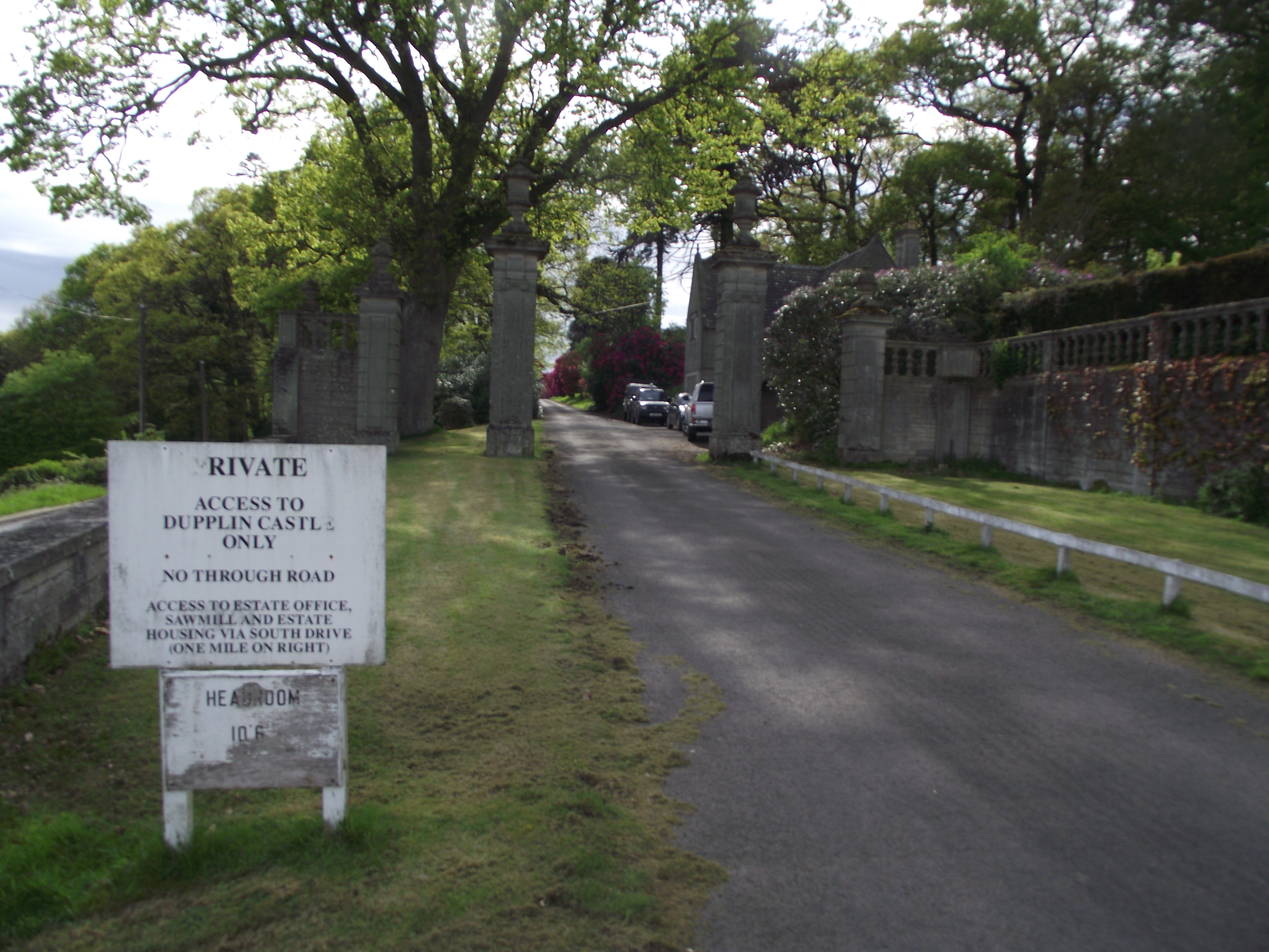
Dupplin Castle
Dupplin Castle is a country house and former castle in Perth and Kinross, Scotland, situated to the west of Aberdalgie and northeast of Forteviot and Dunning...

Forgandenny railway station
Forgandenny railway station served the village of Forgandenny, Perth and Kinross, Scotland from 1848 to 1956 on the Scottish Central Railway. == History... ==

Forgandenny
Forgandenny (Scottish Gaelic Forgrann Eithne, 'Over-Bog of Eithne' [an ancient female Gaelic name]) is a small village in Perth and Kinross, Scotland,...
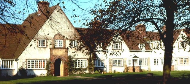
Strathallan School
Strathallan School is a private boarding and day school in Scotland for boys and girls aged 5-18. The school has a 153-acre (62-hectare) campus at Forgandenny...
Forteviot Bronze Age tomb
Forteviot Bronze Age tomb is a Bronze Age burial chamber discovered in 2009 at Forteviot near Perth, Scotland. The Bronze Age tomb is one of a number of...
Forteviot
Forteviot (Scottish Gaelic: Fothair Tabhaicht) (Ordnance Survey grid reference NO052175) is a village in Strathearn, Scotland on the south bank of the...

Forteviot railway station
Forteviot railway station served the village of Forteviot, Perth and Kinross, Scotland from 1848 to 1956 on the Scottish Central Railway. == History... ==
Have you been to Bog Pool?
Leave your review of Bog Pool below (or comments, questions and feedback).