Gowkshill
Settlement in Midlothian
Scotland
Gowkshill
Gowkshill is a small village located in Midlothian, Scotland. Situated approximately 10 miles south of Edinburgh, Gowkshill is known for its picturesque countryside and charming rural setting. The village is home to a tight-knit community of residents who take pride in their close connections and strong sense of community spirit.
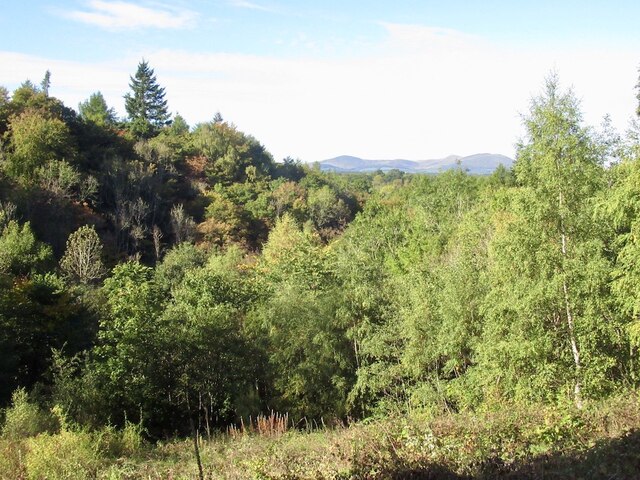
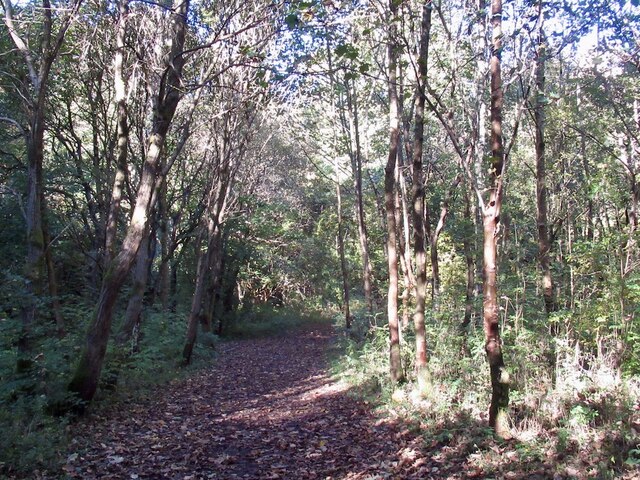
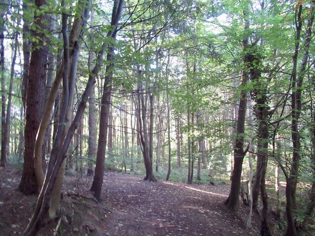
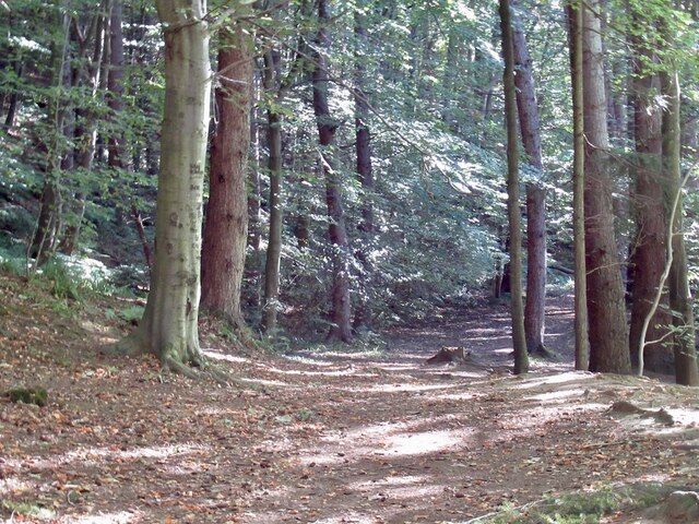
Gowkshill is surrounded by rolling hills and lush green fields, making it an ideal location for those seeking a peaceful and tranquil lifestyle. The village is also well-served by local amenities, including a primary school, village hall, and several shops and cafes.
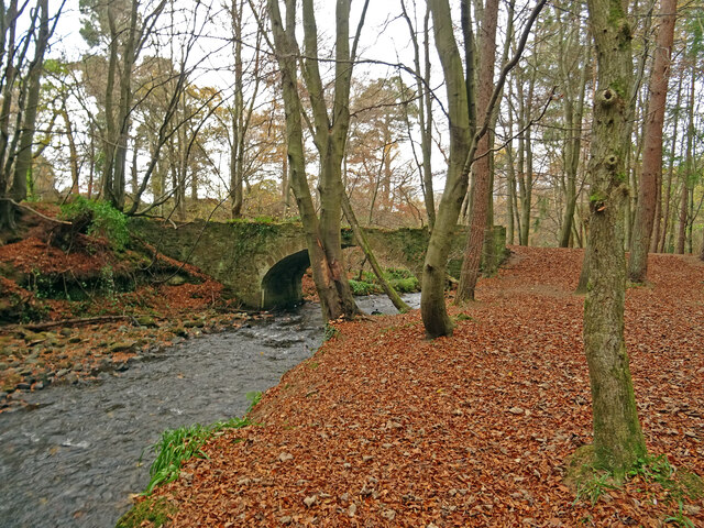
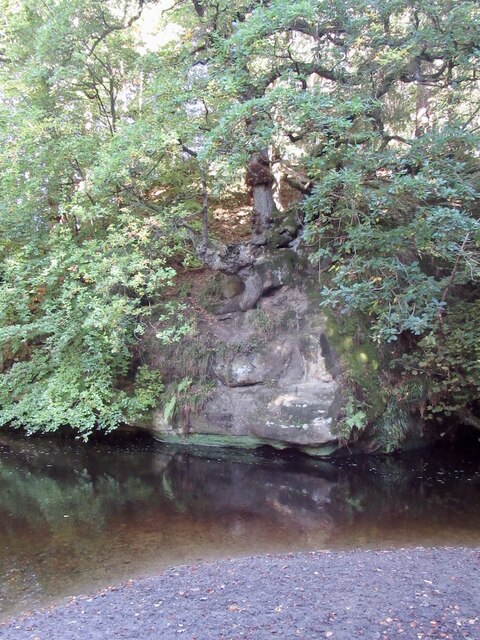
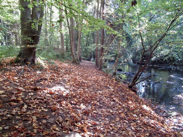
One of the main attractions in Gowkshill is the nearby Glencorse Reservoir, which offers opportunities for fishing, boating, and walking along its scenic shores. The reservoir is a popular spot for both locals and visitors alike, providing a tranquil escape from the hustle and bustle of city life.
Overall, Gowkshill is a charming village with a strong sense of community and a beautiful natural setting that attracts those seeking a peaceful and idyllic way of life.
If you have any feedback on the listing, please let us know in the comments section below.
Gowkshill Images
Images are sourced within 2km of 55.857887/-3.056459 or Grid Reference NT3363. Thanks to Geograph Open Source API. All images are credited.
Gowkshill is located at Grid Ref: NT3363 (Lat: 55.857887, Lng: -3.056459)
Unitary Authority: Midlothian
Police Authority: The Lothians and Scottish Borders
What 3 Words
///famed.entire.lease. Near Gorebridge, Midlothian
Nearby Locations
Related Wikis
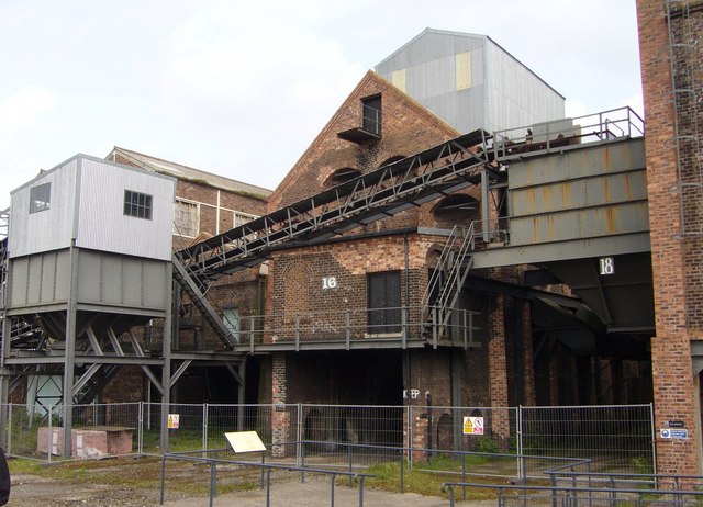
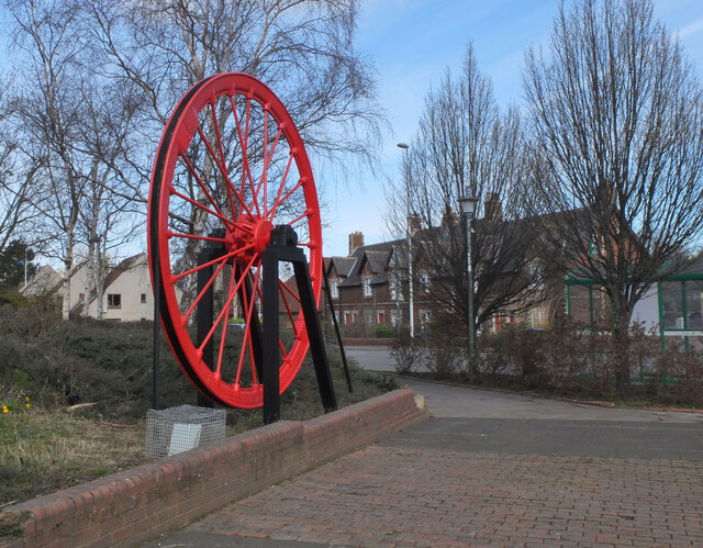
National Mining Museum Scotland
The National Mining Museum Scotland was created in 1984, to preserve the physical surface remains of Lady Victoria Colliery at Newtongrange, Midlothian...

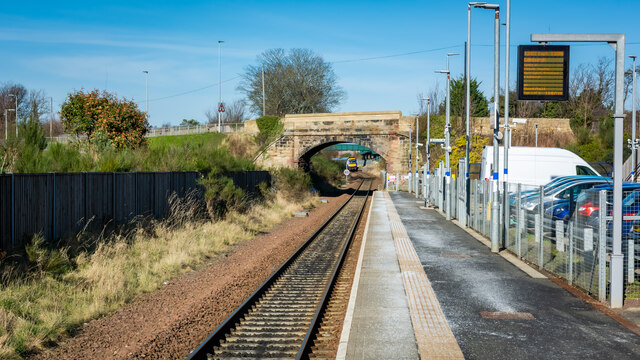
Newtongrange railway station
Newtongrange is a railway station on the Borders Railway, which runs between Edinburgh Waverley and Tweedbank. The station, situated 11 miles 77 chains...

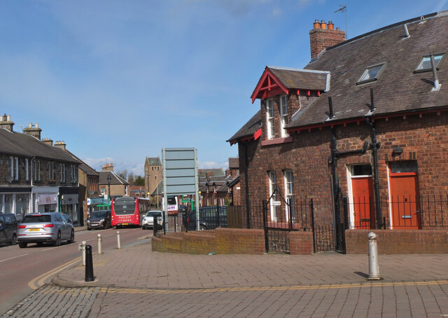
Newbattle
Newbattle (from Neubotle, i.e. new dwelling) is a village and civil parish in Midlothian, in the ancient Roman Catholic Diocese of St. Andrews, about seven...

Newtongrange
Newtongrange () is a former mining village in Midlothian, Scotland. Known in local dialect as Nitten, or Nitten by the Bing (), it became Scotland's largest...
Related Videos

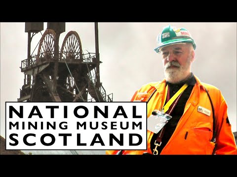
National Mining Museum Scotland. Scottish Tourism.
The National Mining Museum Scotland was created in 1984, It is now a prime Scottish Tourism site to visit. The intention of the ...

Riverside Walks, Scotland. Edinburgh, Dalkeith, Newbattle Abbey, Inverness, Lock Ness..
Riverside walks within Scotland. Exploring Newbattle Abbey and some places near Inverness.

Gore Glen | Midlothian | Scotland in Autumn | Bengali Travel Vlog
Enjoy the tranquility of Gore Glen Woodland Park, that too, just couple of minutes from Edinburgh City Center. I have visited the ...
Nearby Amenities
Located within 500m of 55.857887,-3.056459Have you been to Gowkshill?
Leave your review of Gowkshill below (or comments, questions and feedback).