The Lake
Lake, Pool, Pond, Freshwater Marsh in Devon East Devon
England
The Lake
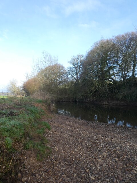
The Lake, Devon, also known as Lake Devon or simply The Lake, is a picturesque body of water located in the county of Devon, England. It is a freshwater lake that covers an area of approximately 100 acres, making it one of the largest lakes in the region. The lake is situated amidst lush greenery, surrounded by rolling hills and dense forests, providing visitors with a tranquil and scenic atmosphere.
The Lake is known for its crystal-clear waters, which are home to a variety of freshwater species. It offers a haven for avid anglers, who can be seen casting their lines in search of trout, pike, perch, and carp. Fishing enthusiasts are drawn to The Lake not only for its abundance of fish but also for its peaceful ambiance and beautiful surroundings.
In addition to fishing, The Lake provides various recreational activities for visitors of all ages. Boating and kayaking are popular choices, allowing individuals to explore the lake's calm waters and take in the breathtaking views. The lake is also ideal for swimming, with designated areas for those looking to cool off during the summer months.
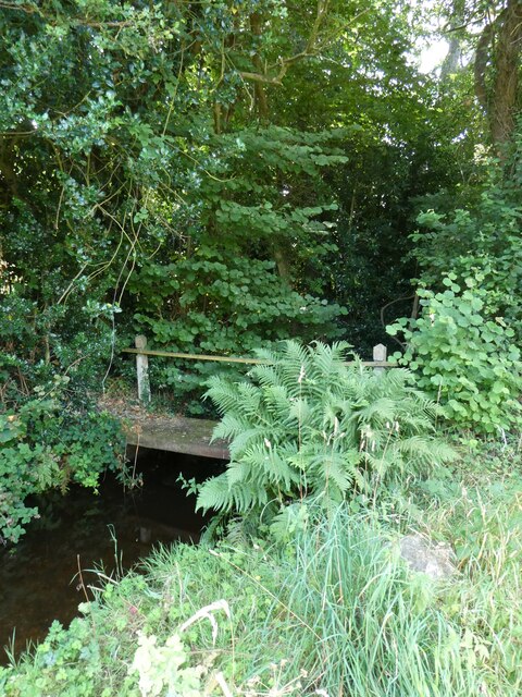
Surrounding The Lake is a diverse ecosystem that includes a freshwater marsh, which serves as a habitat for a wide range of plant and animal species. Nature lovers can spot an array of birdlife, including herons, ducks, and swans, while taking leisurely walks along the lake's shores.
Overall, The Lake in Devon offers a serene and idyllic setting for both nature enthusiasts and those seeking a peaceful retreat. Its natural beauty, combined with its recreational activities, makes it a popular destination for locals and tourists alike.
If you have any feedback on the listing, please let us know in the comments section below.
The Lake Images
Images are sourced within 2km of 50.667507/-3.3168571 or Grid Reference SY0786. Thanks to Geograph Open Source API. All images are credited.


The Lake is located at Grid Ref: SY0786 (Lat: 50.667507, Lng: -3.3168571)
Administrative County: Devon
District: East Devon
Police Authority: Devon and Cornwall
What 3 Words
///access.crusher.cheer. Near Newton Poppleford, Devon
Nearby Locations
Related Wikis

Bicton Woodland Railway
The Bicton Woodland Railway is a narrow-gauge railway running in Bicton Park Botanical Gardens in the grounds of Bicton House near Budleigh Salterton in...
Bicton College
Bicton College is a college with around 1,000 full-time and 3,500 part-time pupils, located near Budleigh Salterton, Devon, England. It is part of the...
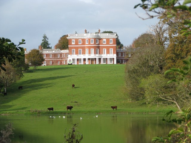
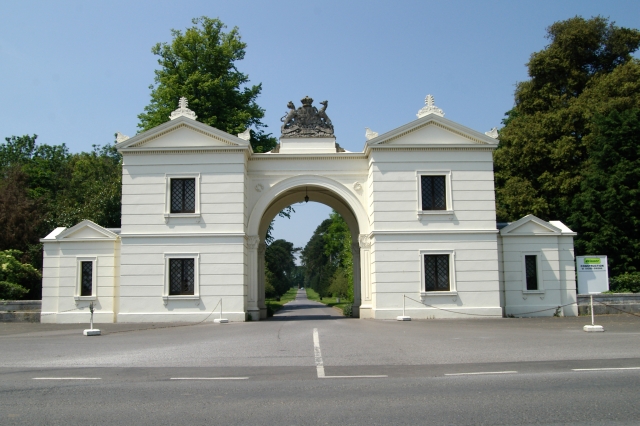
Bicton House, Devon
Bicton House, or Bickton House, is a late 18th- or early 19th-century country house, which stands on the campus of Bicton College, Bicton, near Exmouth...

Bicton Arena
Bicton Arena is a multi-discipline equestrian venue in Devon, England. It is notable for hosting the Bicton Arena International 5*, the only CCI 5* event...
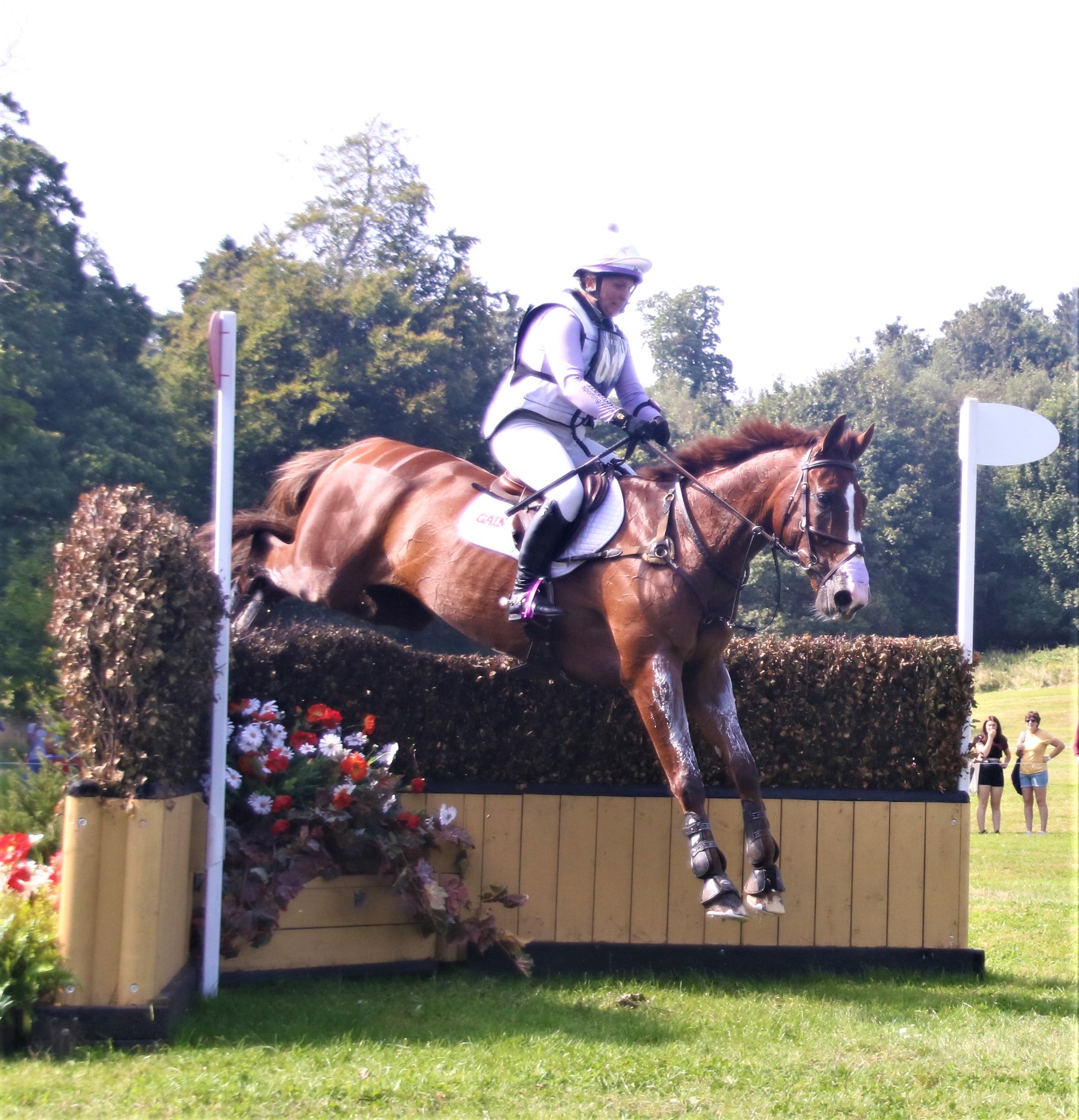
Bicton Arena International 5*
The Bicton Arena International 5*, known for sponsorship reasons as the Chedington Bicton Park 5* Horse Trials was a CCI 5* eventing competition held as...

Salem Chapel, East Budleigh
Salem Chapel is in Vicarage Road, East Budleigh, Devon, England. Initially a Presbyterian, then a Congregational chapel, it was later owned by the Assemblies...

East Budleigh railway station
East Budleigh railway station is a closed railway station that served the villages of East Budleigh and Otterton in Devon, England. == History == It was...

Otterton Mill
Otterton Water Mill is at the village of Otterton, near Budleigh Salterton in Devon, England. Otterton Water Mill is set beside the River Otter in Devon...
Related Videos
A Very British Seaside Weekend at Ladram Bay Holiday Park - Devon
This video is a full experience of Ladram Bay Holiday Park in Otterton, Budleigh Salterton, Devon. Our tour starts with the arrival ...

Ladram Bay Holiday Park Devon | Family caravan holiday with Alex and Seby
Continuation of alex's birthday week we had a holiday caravan for the family at Devon in UK. First holiday of 2021 and first time for ...

Is Ladram Bay worth visiting with your campervan or motorhome? Discover the truth!
Join us as we pitch up twice in 2023 at this large, commercial site and discover exactly what makes Ladram Bay Holiday Park in ...
![[TIMELAPSE] Walking crossing from Ladram Bay to Sidmouth.l ....and back](https://i.ytimg.com/vi/W3ZLCg5KOzI/hqdefault.jpg)
[TIMELAPSE] Walking crossing from Ladram Bay to Sidmouth.l ....and back
[TIMELAPSE] Walking crossing from Ladram Bay to Sidmouth.l ....and back.
Nearby Amenities
Located within 500m of 50.667507,-3.3168571Have you been to The Lake?
Leave your review of The Lake below (or comments, questions and feedback).