Gowhole
Settlement in Derbyshire High Peak
England
Gowhole
Gowhole is a quaint village located in the county of Derbyshire, England. Situated in the heart of the Peak District National Park, it encapsulates the natural beauty and charm that this region is renowned for. The village is nestled amidst rolling hills and picturesque landscapes, making it a popular destination for nature lovers and outdoor enthusiasts.
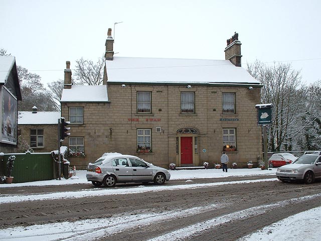
Gowhole is home to a small population of around 300 residents, giving it an intimate and close-knit community feel. The village is characterized by its traditional stone-built houses and historic buildings, which add to its rustic appeal. The local pub, The Old Oak, serves as a social hub for both residents and visitors, offering a warm and welcoming atmosphere.
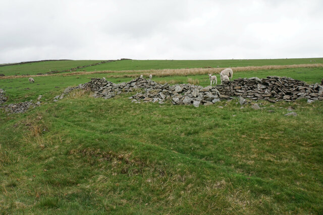
The surrounding area offers numerous opportunities for outdoor activities, with an extensive network of walking trails and cycling routes. One of the village's main attractions is the Gowhole Cavern, a captivating underground limestone cave system that draws tourists from far and wide. Visitors can explore the cavern's vast chambers and admire its stunning stalactite formations.
For those seeking a cultural experience, Gowhole also boasts a small museum showcasing the village's rich history and heritage. Here, visitors can learn about the area's industrial past, including the once-thriving lead mining industry that flourished in the region.
Overall, Gowhole is a hidden gem within Derbyshire, offering a tranquil escape from the hustle and bustle of modern life. Its natural beauty, friendly community, and wealth of outdoor activities make it a delightful destination for those seeking a peaceful retreat in the heart of the Peak District.
If you have any feedback on the listing, please let us know in the comments section below.
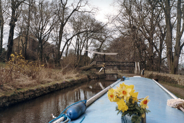
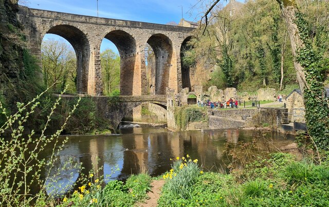
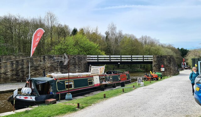
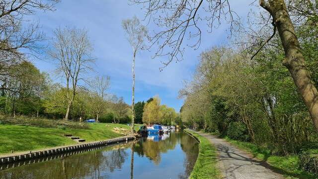
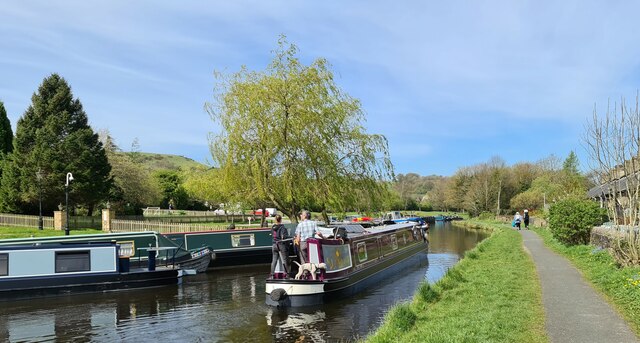
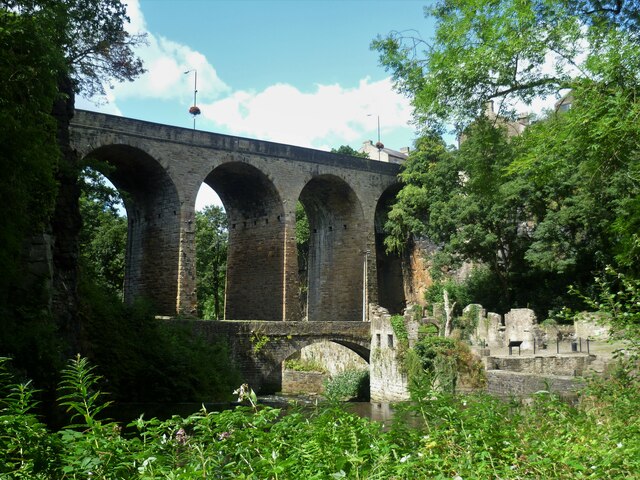
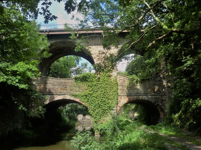
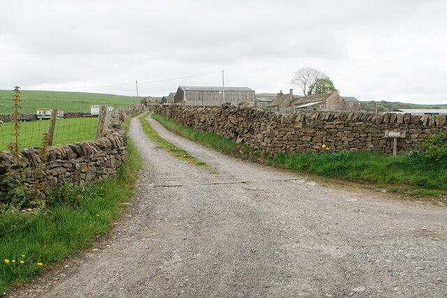
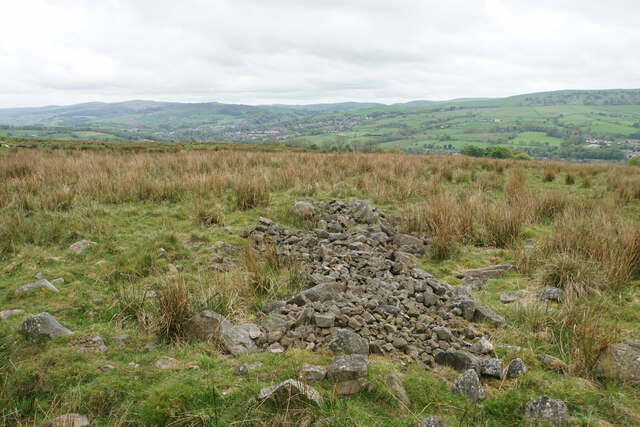
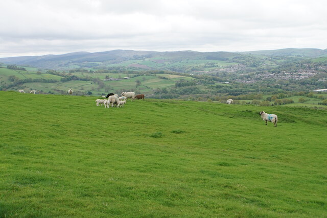
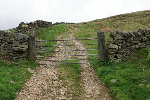
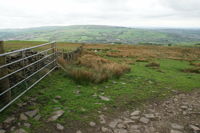
Gowhole Images
Images are sourced within 2km of 53.351255/-1.983292 or Grid Reference SK0183. Thanks to Geograph Open Source API. All images are credited.


Gowhole is located at Grid Ref: SK0183 (Lat: 53.351255, Lng: -1.983292)
Administrative County: Derbyshire
District: High Peak
Police Authority: Derbyshire
What 3 Words
///locating.fountain.gossiped. Near New Mills, Derbyshire
Related Wikis
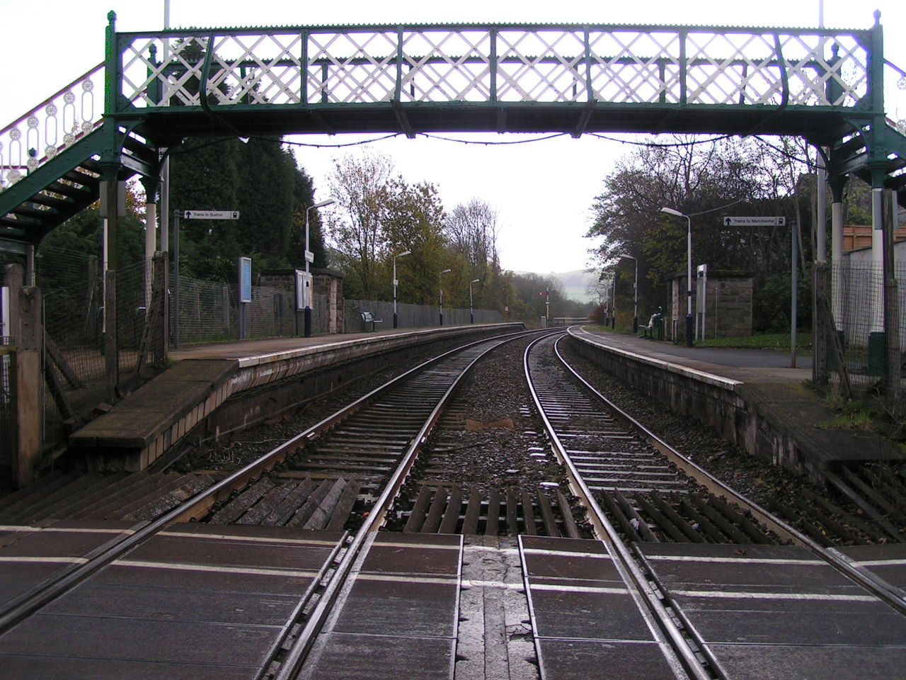
Furness Vale railway station
Furness Vale railway station in Derbyshire, England, is 15+1⁄4 miles (24.5 km) south east of Manchester Piccadilly on the Manchester to Buxton line and...
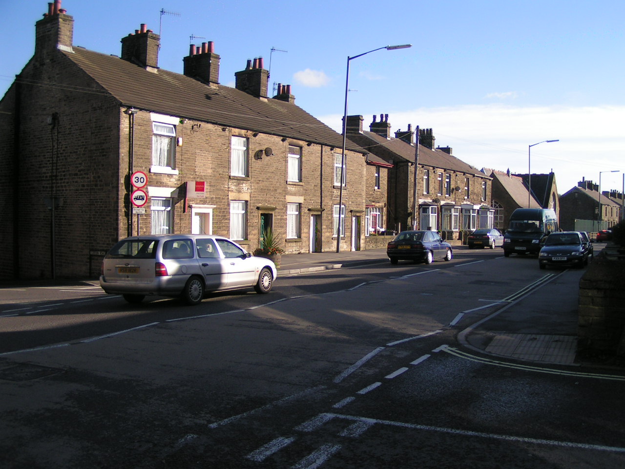
Furness Vale
Furness Vale is a village in the High Peak district of Derbyshire, England, between New Mills and Whaley Bridge. It is bisected by the A6 road and the...

New Mills A.F.C.
New Mills Association Football Club ('The Millers') are an English football club based in New Mills, Derbyshire. They currently play in the North West...
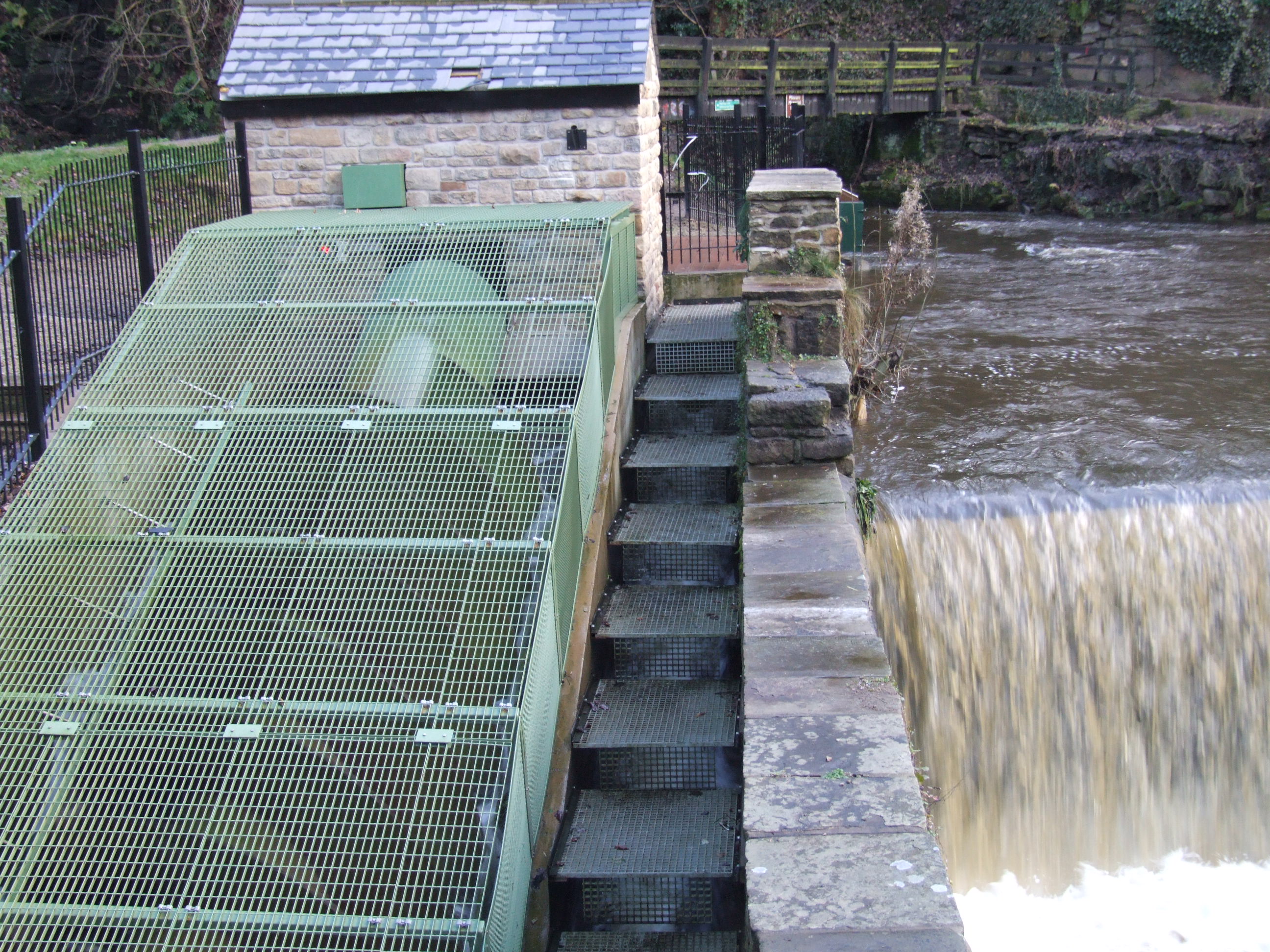
Torrs Hydro
Torrs Hydro is a micro hydroelectric scheme, owned by the community, in New Mills, Derbyshire. It is on the River Goyt, immediately below its confluence...

Buxworth
Buxworth is a village in the High Peak of Derbyshire, England. The area, which was once an important centre for the limestone industry, became the terminus...

St. James' Church, Buxworth
St. James' Church, Buxworth is a 19th-century Church of England church in the village of Buxworth, Derbyshire. The church dates back to 1874 and is a Grade...
Newtown, Derbyshire
Newtown is an area of the town of New Mills in the High Peak borough of Derbyshire, England. It is situated west of New Mills proper, on the road to Disley...

Buxworth railway station
Buxworth railway station was an intermediate stop on the Derby–Manchester line of the Midland Railway. It was open between 1867 and 1958. == History... ==
Nearby Amenities
Located within 500m of 53.351255,-1.983292Have you been to Gowhole?
Leave your review of Gowhole below (or comments, questions and feedback).