Polney Loch
Lake, Pool, Pond, Freshwater Marsh in Perthshire
Scotland
Polney Loch

Polney Loch is a picturesque freshwater marsh located in the region of Perthshire, Scotland. Situated in the heart of the countryside, this tranquil water body offers a serene escape for nature enthusiasts and wildlife lovers. Spanning across an area of approximately 20 acres, Polney Loch is a small yet charming feature of the landscape.
Surrounded by lush greenery and native flora, the loch is home to a diverse range of plant and animal species. The surrounding wetland habitat serves as a haven for numerous bird species, making it a popular spot for birdwatching. Common sightings include ducks, swans, herons, and various other waterfowl.
The loch itself is relatively shallow, with an average depth of around 3 meters. Its peaceful waters are enriched by the presence of aquatic plants, which not only provide a serene atmosphere but also contribute to the overall ecological balance of the area.
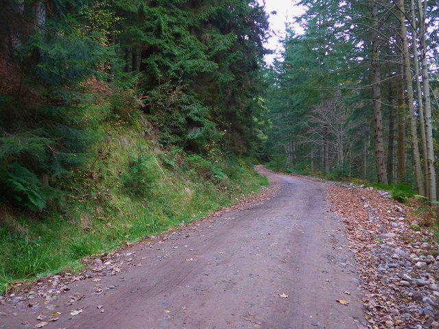
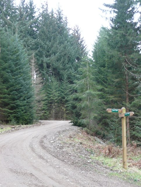
Visitors to Polney Loch can enjoy a leisurely stroll along the designated walking paths that encompass the water body. These paths offer panoramic views of the surrounding countryside and provide opportunities for visitors to spot wildlife in their natural habitat.
Additionally, the loch is a preferred destination for anglers, as it is known for its healthy population of brown trout. Fishing enthusiasts can try their luck and spend a peaceful day on the water, enjoying the tranquility of the surroundings.
In summary, Polney Loch is a charming freshwater marsh in Perthshire, Scotland, offering a peaceful retreat for nature lovers. With its diverse wildlife, beautiful scenery, and recreational activities, it is a must-visit destination for those seeking a serene and immersive natural experience.
If you have any feedback on the listing, please let us know in the comments section below.
Polney Loch Images
Images are sourced within 2km of 56.569842/-3.6049897 or Grid Reference NO0143. Thanks to Geograph Open Source API. All images are credited.


Polney Loch is located at Grid Ref: NO0143 (Lat: 56.569842, Lng: -3.6049897)
Unitary Authority: Perth and Kinross
Police Authority: Tayside
What 3 Words
///standards.latitudes.dressy. Near Bankfoot, Perth & Kinross
Nearby Locations
Related Wikis

Niel Gow's Oak
Niel Gow's Oak is a 300-year-old tree near Dunkeld and Birnam, Perth and Kinross, Scotland. It is closely associated with the Scottish fiddler and composer...
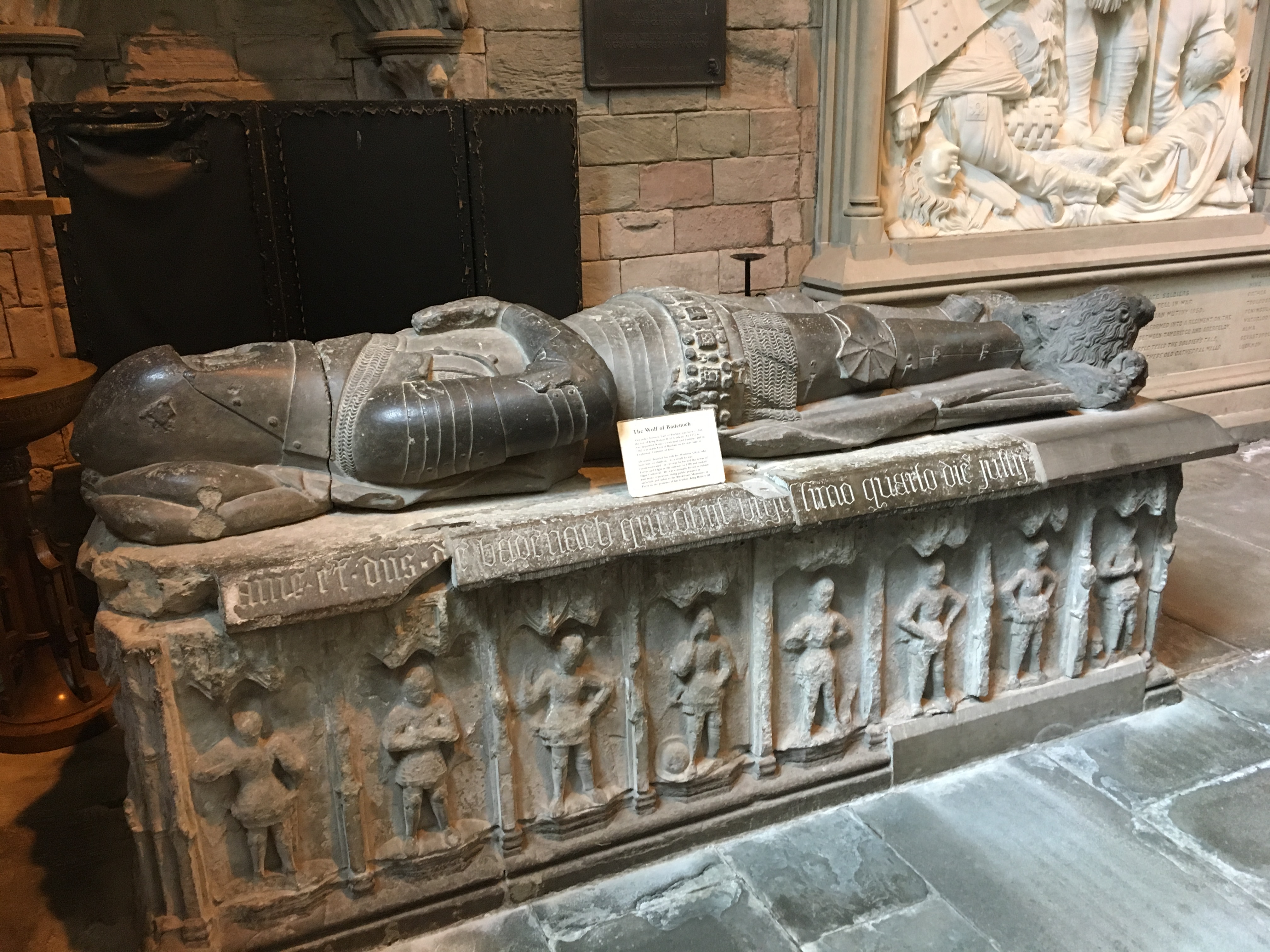
Tomb of the Wolf of Badenoch
The Tomb of the Wolf of Badenoch (or Tomb of Alexander Stewart) consists of a 15th-century tomb effigy and altar (or "chest") tomb, both of which are carved...
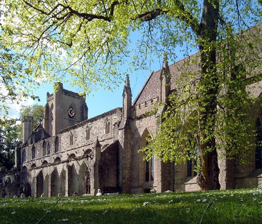
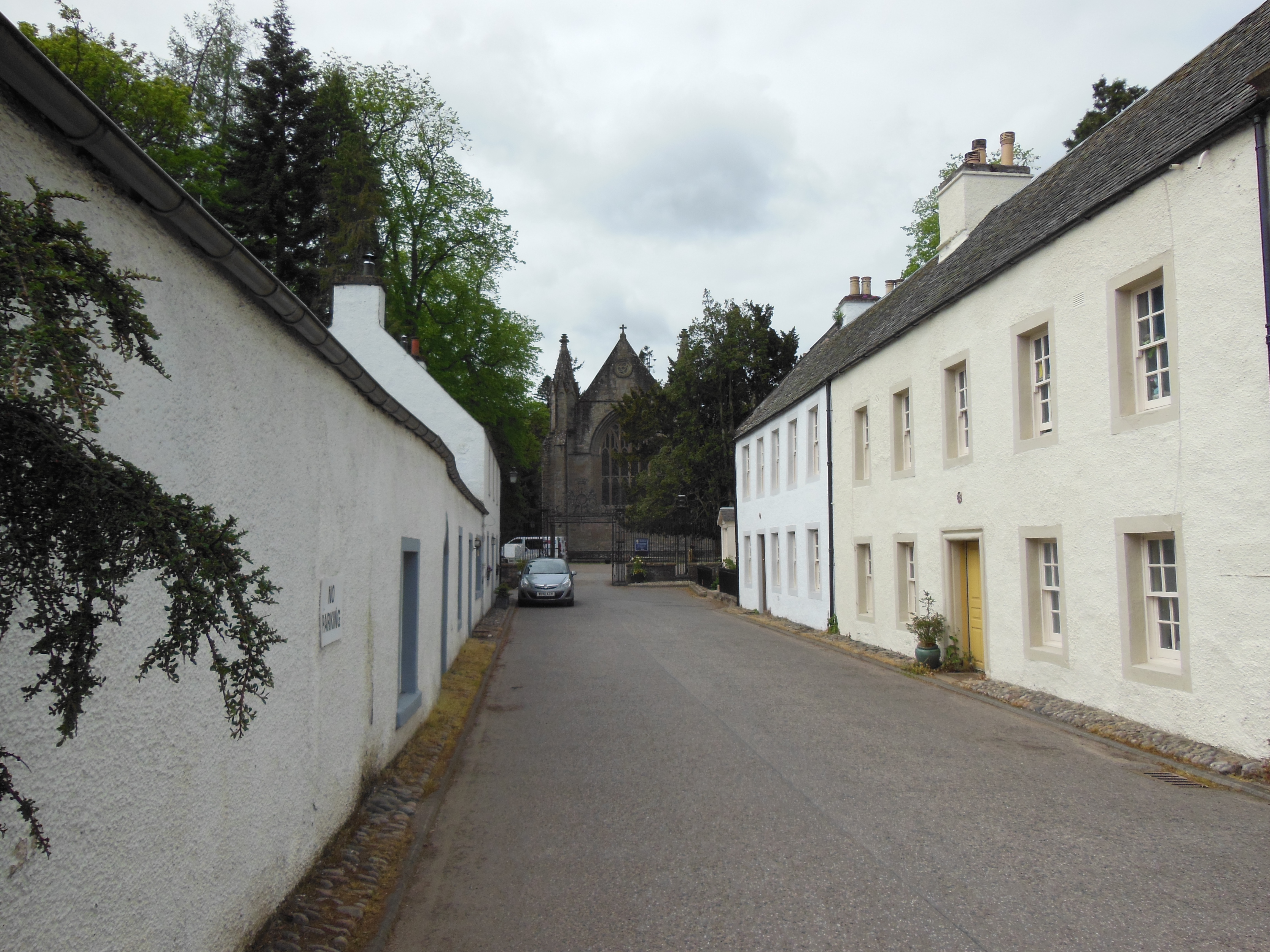
Dunkeld Cathedral
Dunkeld Cathedral is a Church of Scotland place of worship which stands on the north bank of the River Tay in Dunkeld, Perth and Kinross, Scotland. Built...
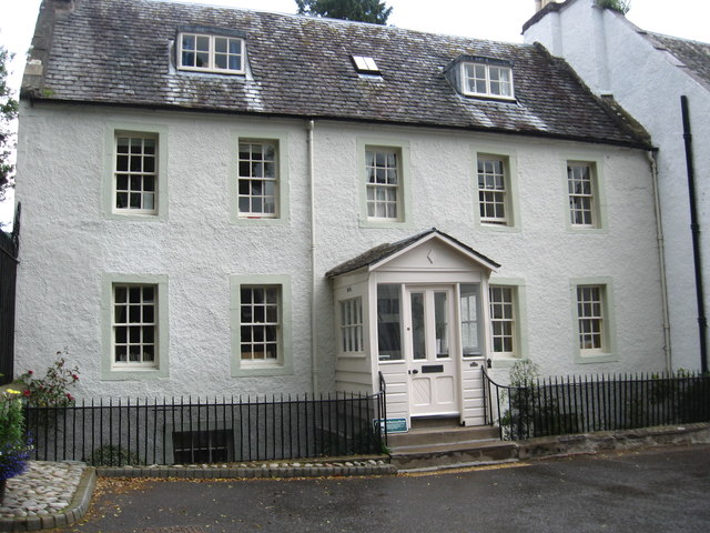
Rectory House
Rectory House, formerly the Dean's House, is a historic building in Dunkeld, Perth and Kinross, Scotland. Standing adjacent to the gates to Dunkeld Cathedral...
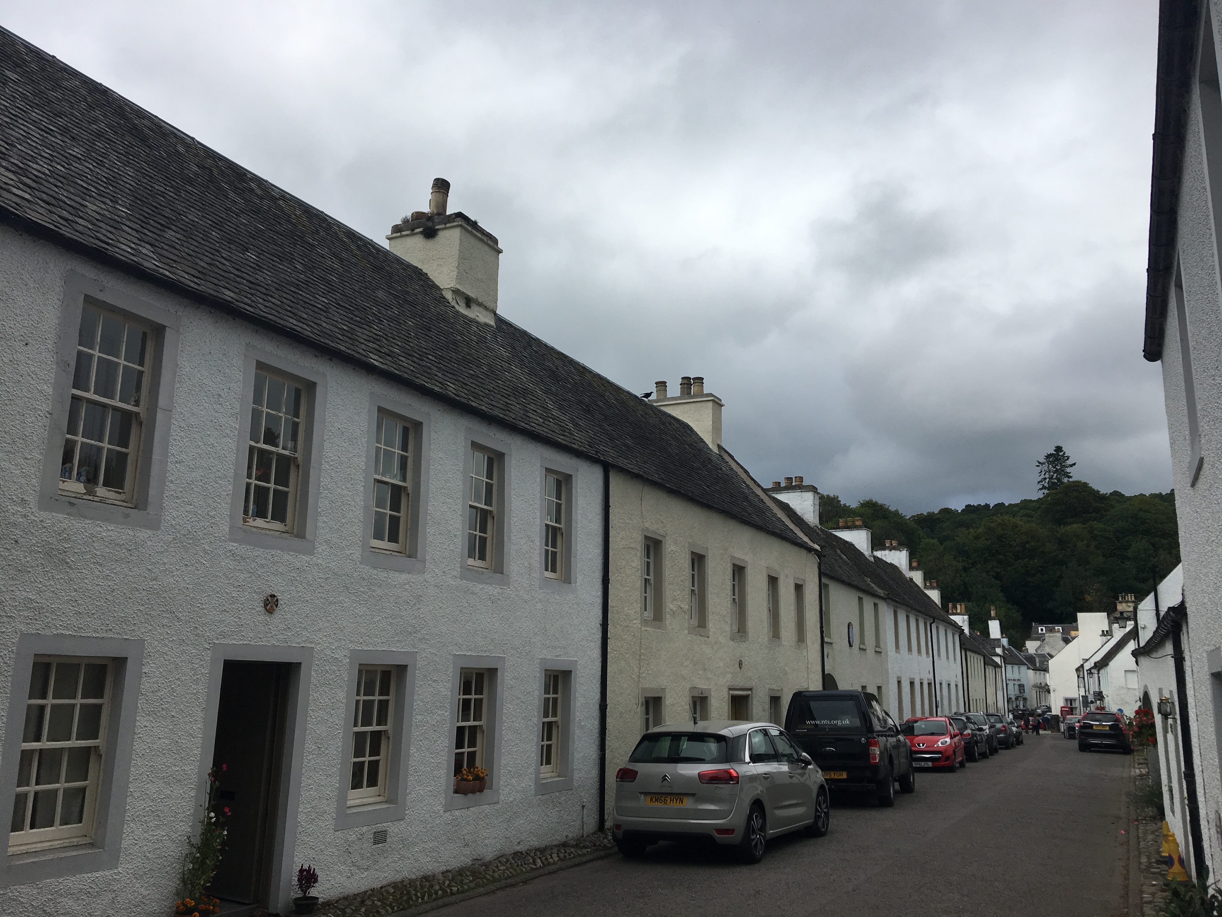
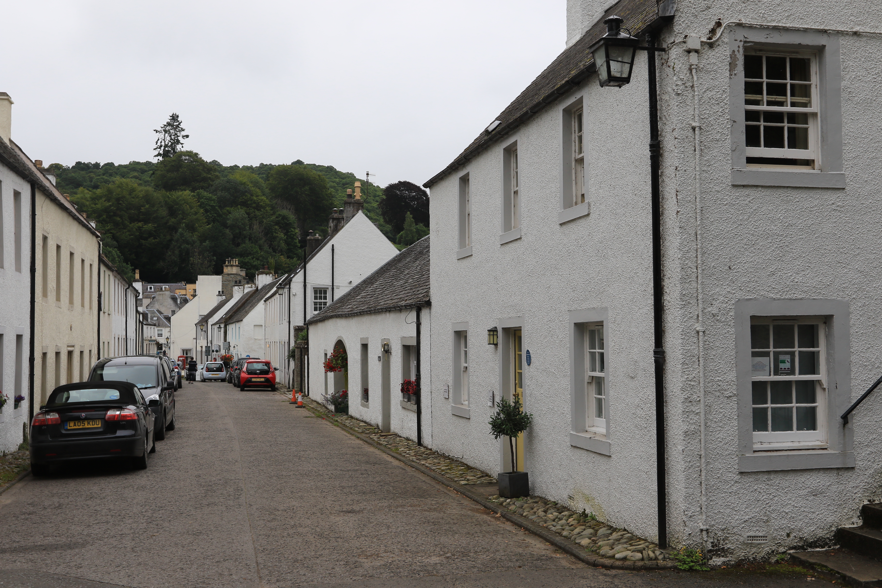
21–23 Cathedral Street, Dunkeld
21–23 Cathedral Street is an historic building in Dunkeld, Perth and Kinross, Scotland. Standing near the gates to Dunkeld Cathedral at the western end...
18–20 Cathedral Street, Dunkeld
18–20 Cathedral Street is an historic building in Dunkeld, Perth and Kinross, Scotland. Standing adjacent to the gates to Dunkeld Cathedral at the western...
19 Cathedral Street, Dunkeld
19 Cathedral Street is an historic building in Dunkeld, Perth and Kinross, Scotland. Standing near the gates to Dunkeld Cathedral at the western end of...

Dunkeld Cathedral Manse
Dunkeld Cathedral Manse is an historic building in Dunkeld, Perth and Kinross, Scotland. Standing near the gates to Dunkeld Cathedral at the western end...
Related Videos

A Walk in Perthshire - From Blairgowrie to Dunkeld - Silent Hiking
During a surprisingly warm and sunny week in March I decided to go for a Roaming Wander. Starting in Blairgowrie I set off along ...

Perthshire Walking Route - Dunkeld and the Hermitage Pleasure Grounds
We start this walk in the little village of Dunkeld. Along the way, we will learn about Beatrix Potters association with the town.

Hiking in Dunkeld, Scotland (August 2023)
gopro #hiking #forestwalk #roadtrip #scotland #travel #goodvibes Created with the #GoPro App. All rights reserved.

Nearby Amenities
Located within 500m of 56.569842,-3.6049897Have you been to Polney Loch?
Leave your review of Polney Loch below (or comments, questions and feedback).