Arlan

Lake, Pool, Pond, Freshwater Marsh in Morayshire

Scotland

Arlan

Altyre House and Lake From the bank beside the road. There are few gaps in the vegetation, making it difficult to photograph well.
Altyre House and Lake Credit: Anne Burgess

Arlan, located in Morayshire, is a picturesque region known for its serene bodies of water, including a lake, a pool, a pond, and a freshwater marsh. Surrounded by lush greenery, this area offers a tranquil and idyllic setting for nature enthusiasts and those seeking a peaceful retreat.

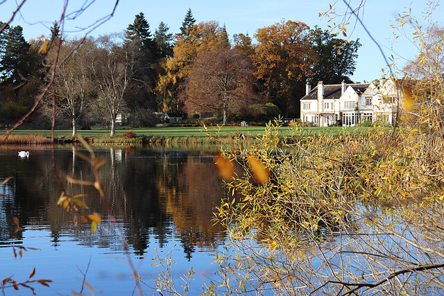
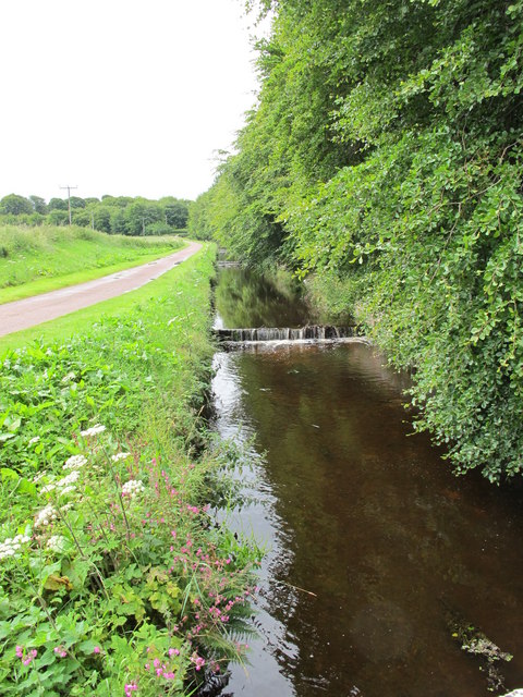
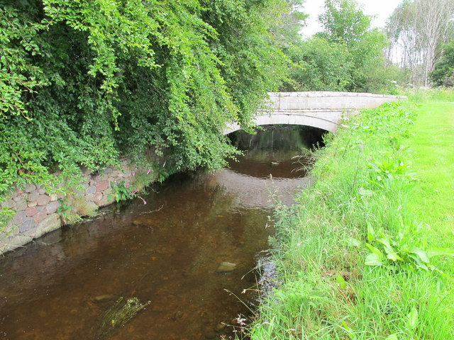
The centerpiece of Arlan is its beautiful lake, which stretches over several acres. With crystal-clear waters reflecting the surrounding landscape, the lake provides a stunning view and attracts visitors who enjoy water activities such as swimming, boating, and fishing. The lake is home to various species of fish, making it a popular spot for anglers seeking a catch.

Adjacent to the lake is a smaller body of water known as the pool. It offers a more secluded and intimate setting, perfect for those seeking solitude. The pool is a serene spot for relaxation and reflection, surrounded by tall trees and vibrant wildflowers.

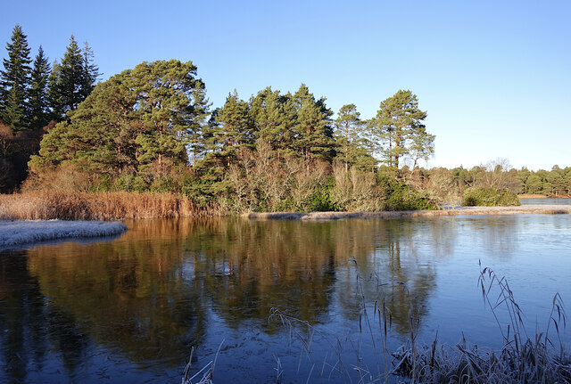
Arlan also boasts a charming pond, which is relatively smaller compared to the lake and pool. The pond is teeming with aquatic life, including frogs, lilies, and various water plants. Its calm and shallow waters make it a safe haven for wildlife and a delightful place for visitors to observe the natural ecosystem.

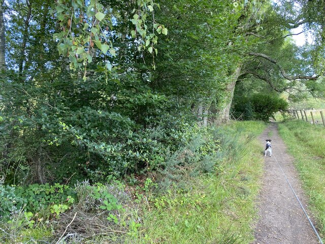
Lastly, the freshwater marsh in Arlan is a haven for numerous species of birds and plants. This wetland area provides a vital habitat for migratory birds and supports a diverse range of flora and fauna. Visitors can explore the marsh on well-maintained trails, observing the unique ecosystem and birdwatching opportunities.

Overall, Arlan in Morayshire offers a unique combination of water bodies, including a lake, pool, pond, and freshwater marsh, all surrounded by breathtaking natural beauty. Whether visitors seek recreational activities, solitude, or a chance to immerse themselves in nature's wonders, Arlan provides a remarkable experience for all.

If you have any feedback on the listing, please let us know in the comments section below.
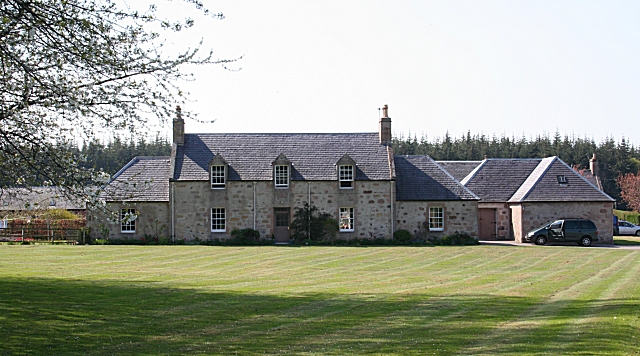
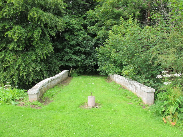
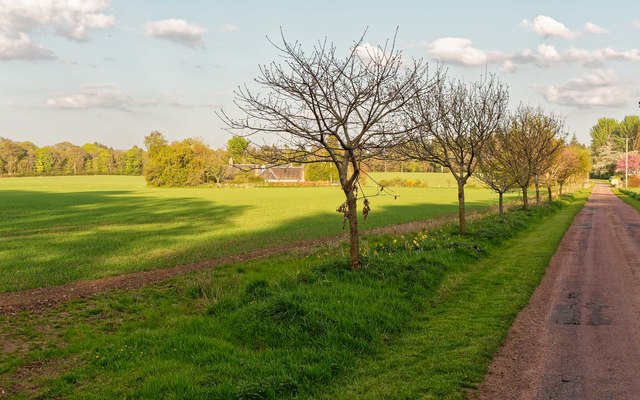
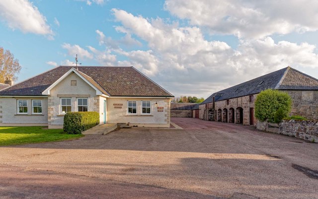
Arlan Images

Images are sourced within 2km of 57.579198/-3.6506579 or Grid Reference NJ0155. Thanks to Geograph Open Source API. All images are credited.

Altyre House and Lake From the bank beside the road. There are few gaps in the vegetation, making it difficult to photograph well.
Altyre House and Lake
From the bank beside the road. There are few gaps in the vegetation, making it difficult to photograph well.
Section of path around Loch of Blairs
Loch of Blairs A mixture of trees along the shore, on a frosty afternoon.
Loch of Blairs
A mixture of trees along the shore, on a frosty afternoon.
Altyre Chapel A timber church, built circa 1900. It is part of the Scottish Episcopal Church, linked with St John's Church in Forres.

It is a Category C listed building. <span class="nowrap"><a title="https://portal.historicenvironment.scot/designation/LB15598" rel="nofollow ugc noopener" href="https://portal.historicenvironment.scot/designation/LB15598">Link</a><img style="margin-left:2px;" alt="External link" title="External link - shift click to open in new window" src="https://s1.geograph.org.uk/img/external.png" width="10" height="10"/></span>
Altyre Chapel
A timber church, built circa 1900. It is part of the Scottish Episcopal Church, linked with St John's Church in Forres. It is a Category C listed building. LinkExternal link
Farmland near Red Craig
Berryley One of the farms on Daranaway Estate. The building to the right is the new Estate Office.
Berryley
One of the farms on Daranaway Estate. The building to the right is the new Estate Office.
Bridge Over Speedie Burn An old grass topped bridge near Darnaway Castle.
Bridge Over Speedie Burn
An old grass topped bridge near Darnaway Castle.
Speedie Burn This burn near Darnaway Castle does not live up to its name as it gently drops over a series of small steps.
Speedie Burn
This burn near Darnaway Castle does not live up to its name as it gently drops over a series of small steps.
Old Bridge Over Speedie Burn
Ladies' Well An unusual structure marks the location of Ladies' Well next to Speedie Burn near Darnaway Castle.
Ladies' Well
An unusual structure marks the location of Ladies' Well next to Speedie Burn near Darnaway Castle.
Speedie Burn This burn near Darnaway Castle does not live up to its name as it gently drops over a series of small steps.
Speedie Burn
This burn near Darnaway Castle does not live up to its name as it gently drops over a series of small steps.
Grass border near Darnaway Castle An attractive well kempt area between a nursery garden wall and nearby woodland.
Grass border near Darnaway Castle
An attractive well kempt area between a nursery garden wall and nearby woodland.
In the Old Walled Garden The walled garden here supplied Darnaway Castle with fruit and vegatbles, but it has not been cultivated for some time. This is taken from the west gate, and only a short length of the wall, which is still in good repair, can be seen at centre left. The walls together with the <a href="https://www.geograph.org.uk/photo/3973736">NH9954 : East Gate</a> are a Category B listed building.
In the Old Walled Garden
The walled garden here supplied Darnaway Castle with fruit and vegatbles, but it has not been cultivated for some time. This is taken from the west gate, and only a short length of the wall, which is still in good repair, can be seen at centre left. The walls together with the NH9954 : East Gate are a Category B listed building.
East Gate This is what drew me to take a walk here. The gate is described as being in the style of Sir Robert Lorimer, and to date from about 1925. The finials may depict deerhounds. The gates bear a coat of arms and gilded berry detailing to foliate decoration. The gates and walled garden are a category B listed building.
East Gate
This is what drew me to take a walk here. The gate is described as being in the style of Sir Robert Lorimer, and to date from about 1925. The finials may depict deerhounds. The gates bear a coat of arms and gilded berry detailing to foliate decoration. The gates and walled garden are a category B listed building.
Old Walled Garden Looking in the north gate of the walled garden, you get some idea of its size. The walls are intact and in good repair, and together with the <a href="https://www.geograph.org.uk/photo/3973736">NH9954 : East Gate</a> are a Category B listed building.
Old Walled Garden
Looking in the north gate of the walled garden, you get some idea of its size. The walls are intact and in good repair, and together with the NH9954 : East Gate are a Category B listed building.
Outside the Walled Garden The walls of the old garden enclose a large area that was formerly cultivated to supply Darnaway Castle with vegetables and fruit. The walls and east gate are a Category B listed building.
Outside the Walled Garden
The walls of the old garden enclose a large area that was formerly cultivated to supply Darnaway Castle with vegetables and fruit. The walls and east gate are a Category B listed building.
Oak tree lined drive Berryley Young oaks on the road towards Berryley and the Moray Estates Office
Oak tree lined drive Berryley
Young oaks on the road towards Berryley and the Moray Estates Office
Moray Estates office at Berryley The 1995 built Moray Estates office on the left, sits next to the category C listed steading which dates from around 1800
Moray Estates office at Berryley
The 1995 built Moray Estates office on the left, sits next to the category C listed steading which dates from around 1800
Show me another place!

Arlan is located at Grid Ref: NJ0155 (Lat: 57.579198, Lng: -3.6506579)

Unitary Authority: Moray

Police Authority: North East

What 3 Words

///rectangular.sticks.remodel. Near Forres, Moray

Related Wikis

Darnaway Castle

Darnaway Castle, also known as Tarnaway Castle, is located in Darnaway Forest, 3 miles (5 km) southwest of Forres in Moray, Scotland. This was Comyn land...

RAF Forres

Royal Air Force Forres or more simply RAF Forres is a former Royal Air Force satellite station located near Forres, Moray, Scotland. The station was controlled...

Dalvey, Elgin

Dalvey is a place near to the town of Forres in Moray, Scotland. The name gave rise to the Baronets Grant of Dalvey, Elgin.

Balnageith

Balnageith, located on the western edge of the suburbs of Forres in Moray, Scotland, is the site of an excavated linear cropmark with a rounded corner...

Nearby Amenities

Located within 500m of 57.579198,-3.6506579
The data included in this document is from www.openstreetmap.org. The data is made available under ODbL.

Have you been to Arlan?

Leave your review of Arlan below (or comments, questions and feedback).