Bangour Reservoir
Lake, Pool, Pond, Freshwater Marsh in West Lothian
Scotland
Bangour Reservoir
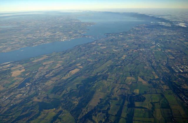
Bangour Reservoir, located in West Lothian, Scotland, is a stunning freshwater lake that covers an area of approximately 22 hectares. Nestled amidst picturesque surroundings, the reservoir is a popular recreational spot for locals and visitors alike.
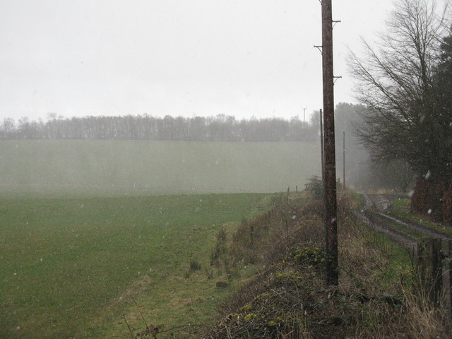
The serene and peaceful atmosphere of Bangour Reservoir attracts nature enthusiasts and outdoor lovers. Surrounded by lush greenery and rolling hills, it offers a tranquil escape from the bustling city life. The crystal-clear waters of the reservoir are perfect for a variety of activities, including fishing, boating, and kayaking.
The reservoir is home to an abundance of wildlife, making it a haven for birdwatchers and nature photographers. Visitors can spot a variety of bird species, including herons, swans, and ducks, as well as other animals such as otters and deer. The diverse ecosystem of the reservoir also supports a wide range of aquatic plants and fish species.
The reservoir is well-maintained and offers several amenities for visitors. There are designated picnic areas with benches and tables, allowing visitors to enjoy a meal while taking in the scenic beauty of the surroundings. Additionally, there are well-marked walking trails that offer breathtaking views of the reservoir and its surroundings.
Bangour Reservoir is not only a natural gem but also serves as an important water source for the local community. It plays a crucial role in supplying fresh water to nearby towns and villages.
Overall, Bangour Reservoir is a hidden gem in West Lothian, offering a peaceful retreat for those seeking solace in nature. Whether it's fishing, birdwatching, or simply enjoying a leisurely stroll, this beautiful freshwater lake has something to offer for everyone.
If you have any feedback on the listing, please let us know in the comments section below.
Bangour Reservoir Images
Images are sourced within 2km of 55.928891/-3.580979 or Grid Reference NT0171. Thanks to Geograph Open Source API. All images are credited.


![Gas pipeline information Attached by the cage at <a href="https://www.geograph.org.uk/photo/3876030">NS9971 : Gas facility near Dechmont</a>. The link takes one to an INEOS website, with no mention of pipelines, but WGEP stands for Wilton-Grangemouth Ethylene Pipeline - Wilton is at Teesside <a href="https://www.geograph.org.uk/gridref/NZ5721">NZ5721</a> - and this <span class="nowrap"><a title="http://www.cncc.org.uk/documents/uk_petrochemicals_ethylene_pipelines.pdf" rel="nofollow ugc noopener" href="http://www.cncc.org.uk/documents/uk_petrochemicals_ethylene_pipelines.pdf">Link</a><img style="margin-left:2px;" alt="External link" title="External link - shift click to open in new window" src="https://s1.geograph.org.uk/img/external.png" width="10" height="10"/></span> provides information about the pipelines. The WGEP is 10&quot; [25.4cm] diam. and carries the ethylene at a pressure of 1500psi [10.3MPa].](https://s2.geograph.org.uk/geophotos/03/87/60/3876046_4a424bf7.jpg)

Bangour Reservoir is located at Grid Ref: NT0171 (Lat: 55.928891, Lng: -3.580979)
Unitary Authority: West Lothian
Police Authority: The Lothians and Scottish Borders
What 3 Words
///rekindle.sentences.frowns. Near Livingston, West Lothian
Nearby Locations
Related Wikis

Bangour General Hospital
Bangour General Hospital was a hospital just west of the village of Dechmont, West Lothian, Scotland. It had its origins during the Second World War when...

Bangour Village Hospital
Bangour Village Hospital was a psychiatric hospital located west of Dechmont in West Lothian, Scotland. During the First World War it formed part of the...

Hilderston, West Lothian
Hilderston or Hilderstone in West Lothian, Scotland, was the site of the discovery of a vein of silver in 1606 and a mining operation that attracted international...
Bangour railway station
Bangour railway station was a railway station in West Lothian, Scotland. It was located on a short branch of the Edinburgh and Bathgate Railway. ��2�...

Beecraigs
Beecraigs is a country park in West Lothian, approximately 2 miles (3.2 km) south of the town of Linlithgow and 3 miles (4.8 km) north-east of Bathgate...

Cairnpapple Hill
Cairnpapple Hill is a hill with a dominating position in central lowland Scotland with views from coast to coast. It was used and re-used as a major ritual...

Dechmont Law
Disambiguation: the name Dechmont, and an associated "Dechmont Hill" are also places near Cambuslang in Scotland Dechmont Law is a hill in Livingston...
Dechmont
Dechmont (Gaelic: Deagh Mhonadh) is a small village located near Uphall, West Lothian in Scotland. Bangour Village Hospital is located to the west of Dechmont...
Related Videos
BLACK TOOTHPASTE & THE KNIGHTS HOSPITALLER - A Walk in West Lothian
A wander in West Lothian, starting in Torphichan and ending in The Four Marys pub in Linlithgow. Along the way we visit the ...

Cavalier CD 2.0 16V C20XE gets welded + new front discs + we get a non runner Corsa B V6 to fire up!
A spot of routine maintenance on the Cavalier CD which has been back racking up big miles after lockdown. New front discs and ...

Loose lead walking training.
Here is Clare and Kodi working on their loose lead walking. Kodi used to be reactive to cars, people and dogs, but he's worked ...
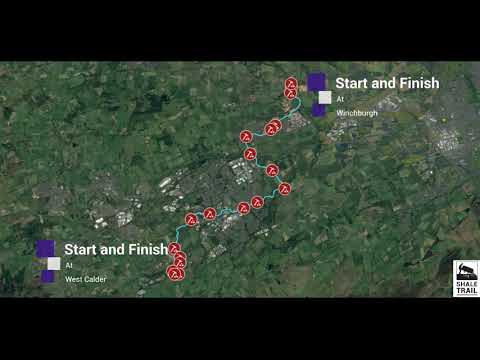
The Shale Trail
4 minute video with drone footage exploring the 16 mile Shale Trail in West Lothian. Walk, Run or Cycle the route from West ...
Have you been to Bangour Reservoir?
Leave your review of Bangour Reservoir below (or comments, questions and feedback).