Beecraigs Loch
Lake, Pool, Pond, Freshwater Marsh in West Lothian
Scotland
Beecraigs Loch

Beecraigs Loch is a picturesque freshwater loch located in West Lothian, Scotland. Spanning an area of approximately 25 acres, it is nestled within the stunning Beecraigs Country Park, which covers over 900 acres of diverse natural landscapes. The loch is a popular destination for outdoor enthusiasts, offering a wide range of recreational activities and opportunities to observe local wildlife.
Surrounded by lush greenery and rolling hills, Beecraigs Loch boasts crystal-clear waters that provide an ideal habitat for various aquatic species. Anglers are drawn to the loch for its excellent fishing conditions, with a healthy population of brown trout, rainbow trout, and perch. Fishing permits are available for visitors wishing to try their luck and enjoy a tranquil day by the water.
Nature enthusiasts can explore the loch's surrounding marshland, which supports a rich biodiversity. The freshwater marsh is home to an array of plant species, including reeds, rushes, and water lilies, providing sanctuary for numerous bird species such as swans, ducks, and herons. Ornithologists and birdwatchers will relish the opportunity to observe these feathered creatures in their natural habitat.
Visitors can engage in a variety of recreational activities on and around the loch. Canoeing and kayaking are popular options, allowing adventurers to navigate the calm waters and take in the stunning scenery. Additionally, walking and cycling trails meander around the loch, offering fantastic opportunities for leisurely strolls or invigorating bike rides.
Overall, Beecraigs Loch is a captivating freshwater body, offering a haven for both wildlife and outdoor enthusiasts alike. Its serene beauty, abundant wildlife, and range of recreational activities make it a must-visit destination within West Lothian.
If you have any feedback on the listing, please let us know in the comments section below.
Beecraigs Loch Images
Images are sourced within 2km of 55.951654/-3.5864553 or Grid Reference NT0174. Thanks to Geograph Open Source API. All images are credited.


Beecraigs Loch is located at Grid Ref: NT0174 (Lat: 55.951654, Lng: -3.5864553)
Unitary Authority: West Lothian
Police Authority: The Lothians and Scottish Borders
What 3 Words
///stint.hounded.handicaps. Near Linlithgow, West Lothian
Nearby Locations
Related Wikis

Beecraigs
Beecraigs is a country park in West Lothian, approximately 2 miles (3.2 km) south of the town of Linlithgow and 3 miles (4.8 km) north-east of Bathgate...

Cockleroi
Cockleroi or Cockleroy is a prominent hill in Scotland. It is Linlithgow's local hill. On its top there are some remains of an Iron Age's hill fort....

Ochiltree Castle, West Lothian
Ochiltree Castle (previously: Uchiltre; meaning: the high town or high dwelling place) is a 16th-century tower house a few miles south east of Linlithgow...

St Michael's Hospital, Linlithgow
St Michael's Hospital, Linlithgow was a community hospital in Linlithgow, Scotland, operated by NHS Lothian. == History == The hospital had its origins...

Linlithgow Academy
Linlithgow Academy is a secondary school in Linlithgow, West Lothian, Scotland. The original academy was built in 1900 to a design by James Graham Fairley...
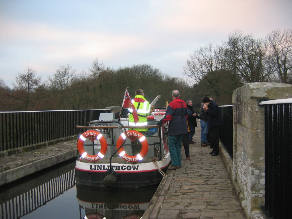
Linlithgow Union Canal Society
The Linlithgow Union Canal Society is a waterway society and a Scottish registered charity based at Linlithgow Canal Centre on the Union Canal at Linlithgow...

Diocese of Edinburgh
The Diocese of Edinburgh is one of the seven dioceses of the Scottish Episcopal Church. It covers the City of Edinburgh, the Lothians, the Borders and...

St Magdalene distillery
St. Magdalene distillery was a producer of single malt Scotch whisky that operated between 1798 and 1983. == History == St. Magdalene was established at...
Nearby Amenities
Located within 500m of 55.951654,-3.5864553Have you been to Beecraigs Loch?
Leave your review of Beecraigs Loch below (or comments, questions and feedback).