Braystones Tarn

Lake, Pool, Pond, Freshwater Marsh in Cumberland Copeland

England

Braystones Tarn

Rocky foreshore near Nethertown
Rocky foreshore near Nethertown Credit: JThomas

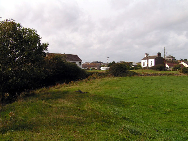
Braystones Tarn is a picturesque freshwater lake located in Cumberland, England. Tucked away amidst the rolling hills and lush greenery, this tranquil body of water offers a serene escape for nature enthusiasts and locals alike.

Covering an area of approximately 2 acres, Braystones Tarn is a relatively small lake, often referred to as a pool or pond due to its size. Surrounded by dense vegetation and bordered by reeds and marshland, it creates a diverse and vibrant ecosystem that supports a variety of plant and animal life.

The lake is fed by natural springs, which ensure a constant flow of fresh water. This pristine water source contributes to the clarity and purity of the lake, making it an ideal habitat for numerous aquatic species. Visitors can spot an array of fish, including perch, roach, and pike, gliding beneath the surface.

The marshy areas surrounding the lake are home to a wide range of bird species, making it a popular spot for birdwatching. Visitors may catch a glimpse of ducks, herons, and even the occasional kingfisher, among others.

Braystones Tarn offers a peaceful ambiance, attracting visitors seeking a tranquil setting for relaxation, picnicking, or simply enjoying the beauty of nature. The lake's calm waters are perfect for kayaking or canoeing, providing a unique opportunity to explore its nooks and crannies.

Overall, Braystones Tarn is a hidden gem nestled in the heart of Cumberland. Its pristine waters, diverse ecosystem, and scenic surroundings make it a must-visit destination for nature lovers and those in search of a peaceful retreat.

If you have any feedback on the listing, please let us know in the comments section below.

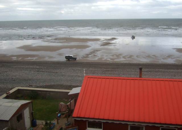
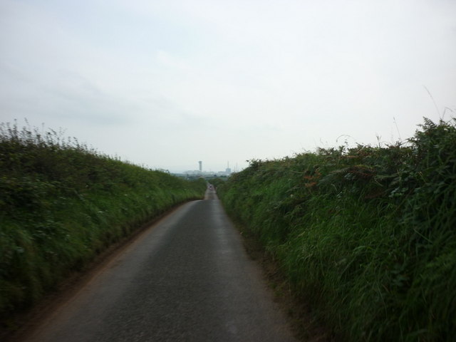
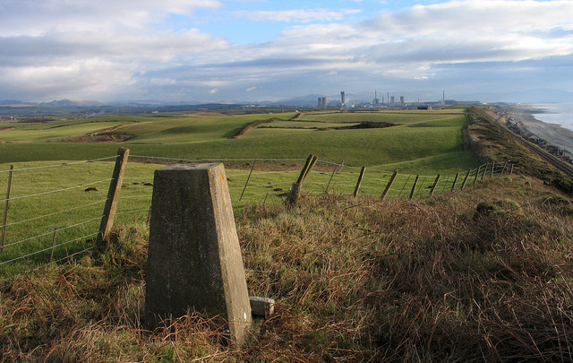
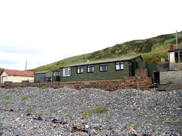
Braystones Tarn Images

Images are sourced within 2km of 54.439527/-3.5370365 or Grid Reference NY0005. Thanks to Geograph Open Source API. All images are credited.

Rocky foreshore near Nethertown
Beach south of Nethertown View over a coastal holiday home.
Beach south of Nethertown
View over a coastal holiday home.
A path leading to Lopbank Moss
A drain to the south of Nethertown
The road to Braystones
Houses on the Beach Houses, whether permanent residences or summer holiday homes I know not, line the back of the beach at intervals some some considerable distance south from Nethertown.
Houses on the Beach
Houses, whether permanent residences or summer holiday homes I know not, line the back of the beach at intervals some some considerable distance south from Nethertown.
A Stony Journey It seems that the only way to reach some, if not all, of the beach houses south of Nethertown is to drive on the cobble beach. Not something I'd be keen to do with my own car, but I suppose it would justify having a 4WD vehicle.
A Stony Journey
It seems that the only way to reach some, if not all, of the beach houses south of Nethertown is to drive on the cobble beach. Not something I'd be keen to do with my own car, but I suppose it would justify having a 4WD vehicle.
Trig point of Harnsey Moss The trig point known to the OS as Harnsey Moss is on the Cumbrian coast north-west of the power station at Sellafield; that complex can be seen in the distance.
Trig point of Harnsey Moss
The trig point known to the OS as Harnsey Moss is on the Cumbrian coast north-west of the power station at Sellafield; that complex can be seen in the distance.
Beach bungalow, Braystones Beach Many of the beach bungalows date back to the late 19th Century. Some were fishermen's huts originally but many were built to house the navvies that were building the Carlisle Furness railway. The railway line runs immediately behind and above the bungalows. Most of the old structures have been replaced but some like the one pictured largely retain their original form albeit with some extensions.
Beach bungalow, Braystones Beach
Many of the beach bungalows date back to the late 19th Century. Some were fishermen's huts originally but many were built to house the navvies that were building the Carlisle Furness railway. The railway line runs immediately behind and above the bungalows. Most of the old structures have been replaced but some like the one pictured largely retain their original form albeit with some extensions.
Braystones beach, Cumbria Taken in 1968 above the railway embankment carrying the West Cumberland, Barrow to Workington line, single track at this point, Blackcombe in the distance.
Braystones beach, Cumbria
Taken in 1968 above the railway embankment carrying the West Cumberland, Barrow to Workington line, single track at this point, Blackcombe in the distance.
Braystones wet beach. The picture does not show the cold but the wind was icy today.
Braystones wet beach.
The picture does not show the cold but the wind was icy today.
The stony shore line The beach house is purely an assistance to position, the square is the stones.
The stony shore line
The beach house is purely an assistance to position, the square is the stones.
The beach at Braystones Looking across the sand and rocks of NX9905 and NX9906 from the level crossing beside Braystones station.
The beach at Braystones
Looking across the sand and rocks of NX9905 and NX9906 from the level crossing beside Braystones station.
The beach at Braystones Looking across the beach with the tide out at sunset. Taken from the east side of the railway, just north of the station.
The beach at Braystones
Looking across the beach with the tide out at sunset. Taken from the east side of the railway, just north of the station.
Braystones beach Looking along the beach towards Nethertown just after sunset. The bungalows beside the railway are just visible.
Braystones beach
Looking along the beach towards Nethertown just after sunset. The bungalows beside the railway are just visible.
Nethertown Coastal Car Park looking south east A strange coastline to photograph.
Nethertown Coastal Car Park looking south east
A strange coastline to photograph.
Nethertown Coastal Dwellings and Shingle Beach Once a shanty Town built by the railway gangs.
Nethertown Coastal Dwellings and Shingle Beach
Once a shanty Town built by the railway gangs.
Nethertown Railway Dwellings, Caravan Park and Sellafield A View from the railway bridge at Nethertown.
Nethertown Railway Dwellings, Caravan Park and Sellafield
A View from the railway bridge at Nethertown.
Show me another place!

Braystones Tarn is located at Grid Ref: NY0005 (Lat: 54.439527, Lng: -3.5370365)

Administrative County: Cumbria

District: Copeland

Police Authority: Cumbria

What 3 Words

///aquatics.loafing.bespoke. Near Egremont, Cumbria

Related Wikis

Braystones railway station

Braystones is a railway station on the Cumbrian Coast Line, which runs between Carlisle and Barrow-in-Furness. The station, situated 37 miles (60 km) north...

Braystones

Braystones is a village in Cumbria, England, historically within Cumberland. It is located on the Irish Sea coast, on edge of the Lake District National...

Beckermet railway station

Beckermet railway station is a disused rail station located in the village of Beckermet in Cumbria. Tracks were laid southwards from Whitehaven and Moor...

River Ehen

The River Ehen is a river in Cumbria, England. The river's source is at the west end of Ennerdale Water: it runs west through Ennerdale Bridge where it...

Beckermet

Beckermet is a village and civil parish in Cumbria, England, between Egremont and Seascale. The parish had a population of 1,619 in the 2011 census.Historically...

St John, Beckermet

St John, Beckermet, is in Beckermet, Cumbria, England. It is an Anglican parish church in the deanery of Calder, and the diocese of Carlisle. Its benefice...

Lowside Quarter

Lowside Quarter is a civil parish in Copeland, Cumbria, England. At the 2011 census it had a population of 583.The parish has an area of 785.43 hectares...

Moorside nuclear power station

Moorside nuclear power station is proposed for a site near Sellafield, in Cumbria, England. The original plan by NuGeneration, a British subsidiary of...

Nearby Amenities

Located within 500m of 54.439527,-3.5370365
Source: PGS
Lat/Long: 54.4403541/-3.5443849
Source: PGS
Lat/Long: 54.4399469/-3.543545
Source: PGS
Lat/Long: 54.4394514/-3.5428048
Created By: almien_coastlines
Source: PGS
Lat/Long: 54.4387275/-3.5419045
Source: PGS
Lat/Long: 54.4383825/-3.5414242
Source: PGS
Lat/Long: 54.4374388/-3.5401092
Source: PGS
Lat/Long: 54.4361626/-3.5384808
Post Box
Post Box Type: lamp
Ref: CA21 61
Royal Cypher: EIIR
Lat/Long: 54.4396066/-3.5319574
Braystones
Is In: Cumbria
Place: hamlet
Lat/Long: 54.4393605/-3.5321783
Turning Circle
Lat/Long: 54.4398204/-3.5335105
Bus Stop
Village Centre
Local Ref: BY
Naptan AtcoCode: 090050143101
Naptan Bearing: E
Naptan CommonName: Village Centre
Naptan Indicator: by
Naptan Landmark: bridge and public telephone box
Naptan NaptanCode: cumatwpg
Naptan Street: No name
Naptan Verified: no
Source: naptan_import
Lat/Long: 54.4394508/-3.5316057
Railway: level_crossing
Lat/Long: 54.4393639/-3.5418208
Post Box
Ref: CA21 94
Lat/Long: 54.4404036/-3.5405013
Braystones
Naptan AtcoCode: 9100BRYSTNS
Network: National Rail
Network Website: https://www.nationalrail.co.uk/stations/bys/
Network Wikidata: Q26334
Operator: Northern Rail
Operator Website: https://www.northernrailway.co.uk/stations/braystones
Operator Wikidata: Q85789775
Public Transport: station
Railway: station
Ref Crs: BYS
Request Stop: yes
Train: yes
Wikidata: Q2299653
Wikipedia: en:Braystones railway station
Lat/Long: 54.4395084/-3.5419705
Braystones
Public Transport: stop_position
Railway: stop
Train: yes
Lat/Long: 54.4395027/-3.5420122
Advertising: board
Lat/Long: 54.4396052/-3.5319311
Power: pole
Lat/Long: 54.4352447/-3.5361705
Power: pole
Lat/Long: 54.435693/-3.5368651
Power: pole
Lat/Long: 54.4358548/-3.5371233
Power: pole
Lat/Long: 54.4362055/-3.5376825
Power: pole
Lat/Long: 54.436824/-3.5385334
Power: pole
Lat/Long: 54.4380308/-3.5300318
Power: pole
Lat/Long: 54.4386448/-3.5295021
Power: pole
Lat/Long: 54.4401641/-3.5325852
Power: pole
Lat/Long: 54.4411072/-3.5317297
Power: pole
Lat/Long: 54.4420557/-3.5308817
The data included in this document is from www.openstreetmap.org. The data is made available under ODbL.

Have you been to Braystones Tarn?

Leave your review of Braystones Tarn below (or comments, questions and feedback).