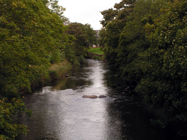
Gibb Tarn
Lake, Pool, Pond, Freshwater Marsh in Cumberland Copeland
England
Gibb Tarn
Gibb Tarn is a picturesque freshwater body located in the region of Cumberland, England. It is often described as a tarn, which is a small mountain lake or pool, nestled amidst the breathtaking beauty of the Lake District National Park. The tarn is situated at an elevation of approximately 400 meters above sea level, providing visitors with stunning panoramic views of the surrounding countryside.
Covering an area of around 2 hectares, Gibb Tarn is relatively small compared to some of the neighboring lakes in the region. However, its size adds to its charm, creating an intimate and serene atmosphere. The water in the tarn is crystal clear and reflects the lush greenery and towering mountains that encompass it.
The surrounding area of Gibb Tarn is rich in biodiversity, with various species of plants and animals making their home in and around the water. Freshwater marshes can be found along the edges of the tarn, providing a habitat for a diverse range of flora and fauna, including reeds, sedges, dragonflies, and waterfowl.
Gibb Tarn is a popular destination for outdoor enthusiasts and nature lovers who enjoy activities such as hiking, photography, birdwatching, and picnicking. The tranquil ambiance and stunning natural beauty make it an ideal spot for relaxation and immersion in nature.
Visitors are advised to respect the natural environment and adhere to the guidelines set by the Lake District National Park Authority to ensure the preservation of this unique and beautiful ecosystem for future generations to enjoy.
If you have any feedback on the listing, please let us know in the comments section below.
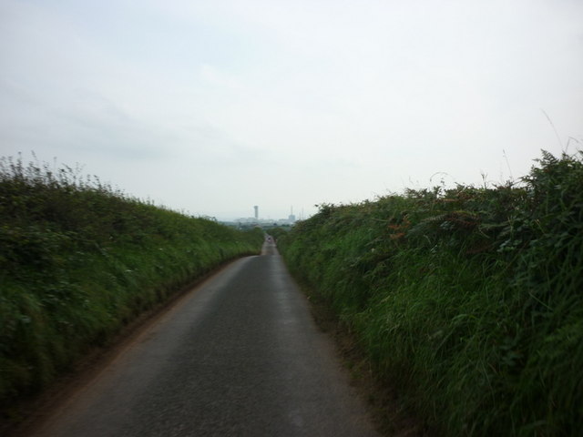
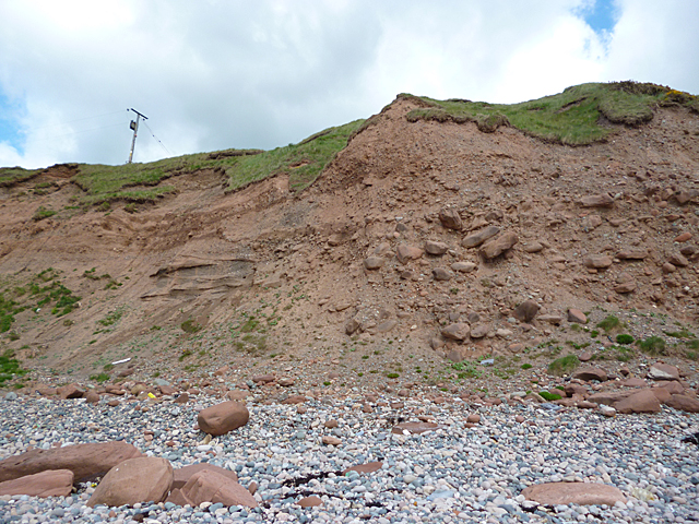
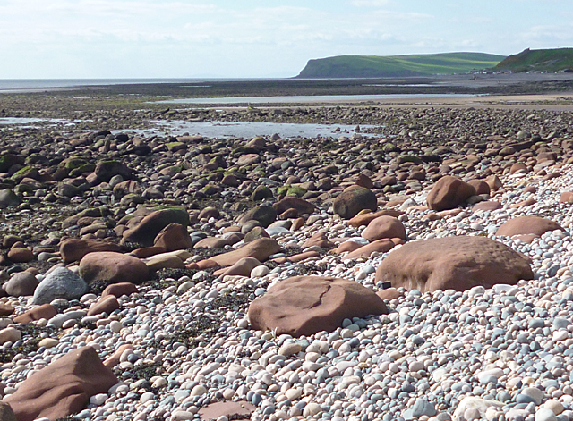
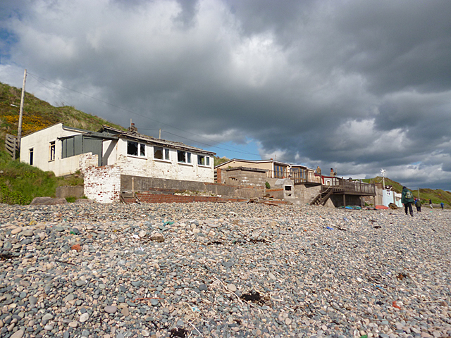
Gibb Tarn Images
Images are sourced within 2km of 54.449204/-3.5387563 or Grid Reference NY0007. Thanks to Geograph Open Source API. All images are credited.


Gibb Tarn is located at Grid Ref: NY0007 (Lat: 54.449204, Lng: -3.5387563)
Administrative County: Cumbria
District: Copeland
Police Authority: Cumbria
What 3 Words
///fluid.companies.exactly. Near Egremont, Cumbria
Nearby Locations
Related Wikis

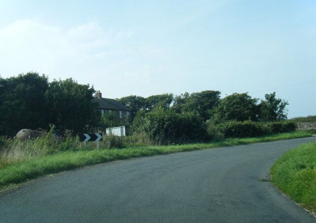
Lowside Quarter
Lowside Quarter is a civil parish in Copeland, Cumbria, England. At the 2011 census it had a population of 583.The parish has an area of 785.43 hectares...

Braystones railway station
Braystones is a railway station on the Cumbrian Coast Line, which runs between Carlisle and Barrow-in-Furness. The station, situated 37 miles (60 km) north...

Beckermet railway station
Beckermet railway station is a disused rail station located in the village of Beckermet in Cumbria. Tracks were laid southwards from Whitehaven and Moor...
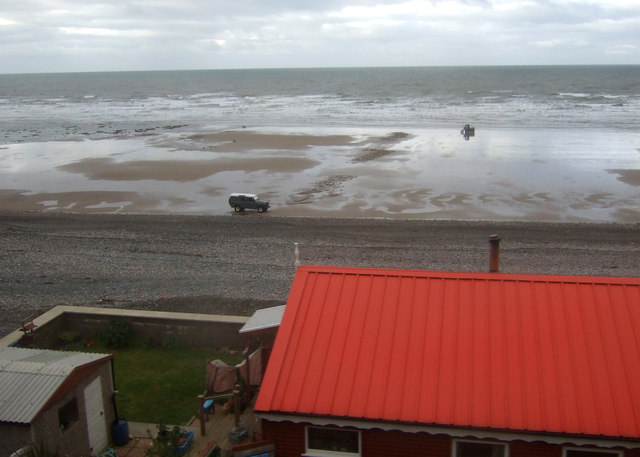
Nethertown
Nethertown is a small village in Cumberland, Cumbria, England on the Irish Sea coast. The community is covered by the civil parish of "Lowside Quarter...

Beckermet
Beckermet is a village and civil parish in Cumbria, England, between Egremont and Seascale. The parish had a population of 1,619 in the 2011 census.Historically...

St John, Beckermet
St John, Beckermet, is in Beckermet, Cumbria, England. It is an Anglican parish church in the deanery of Calder, and the diocese of Carlisle. Its benefice...
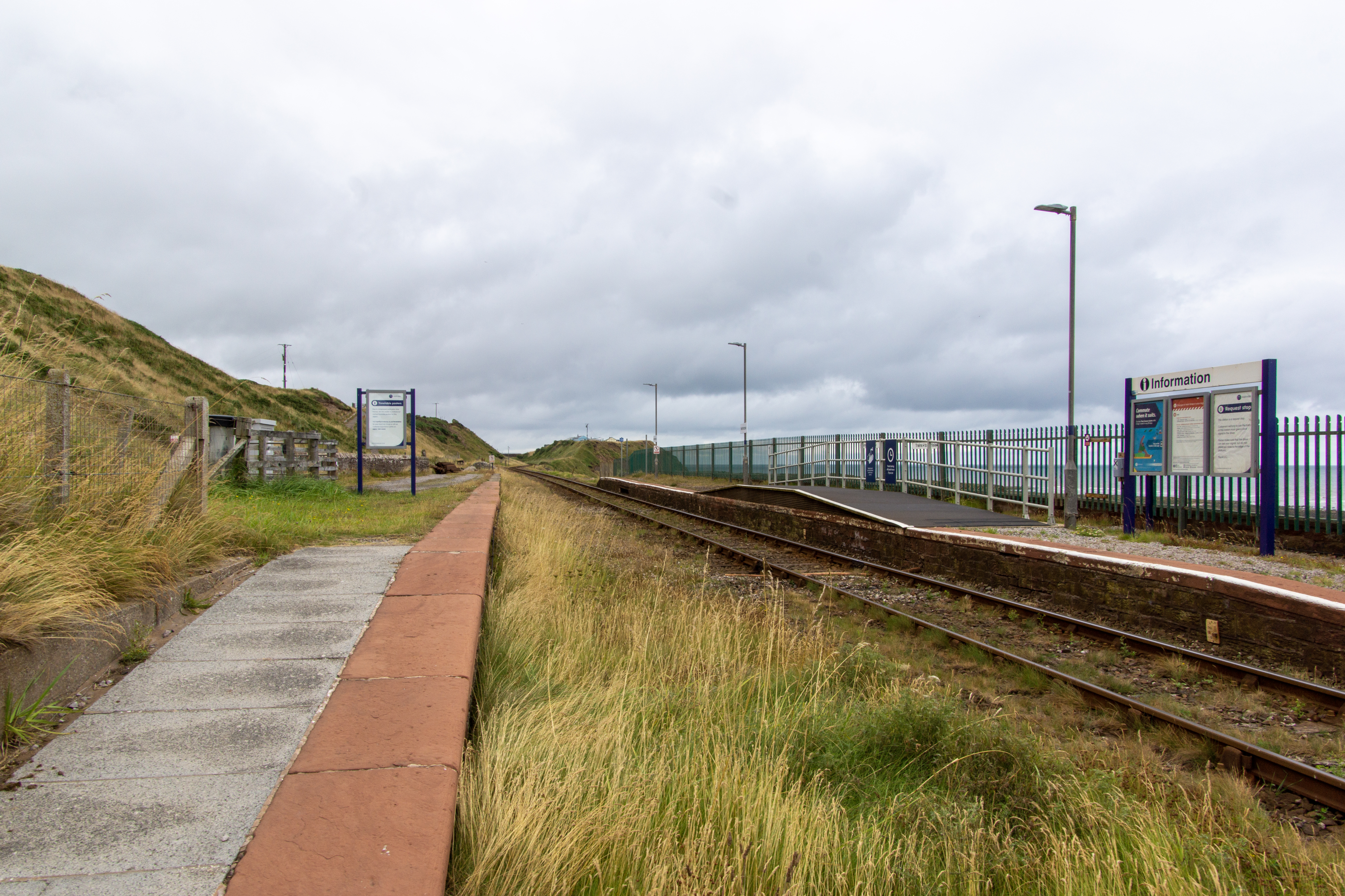
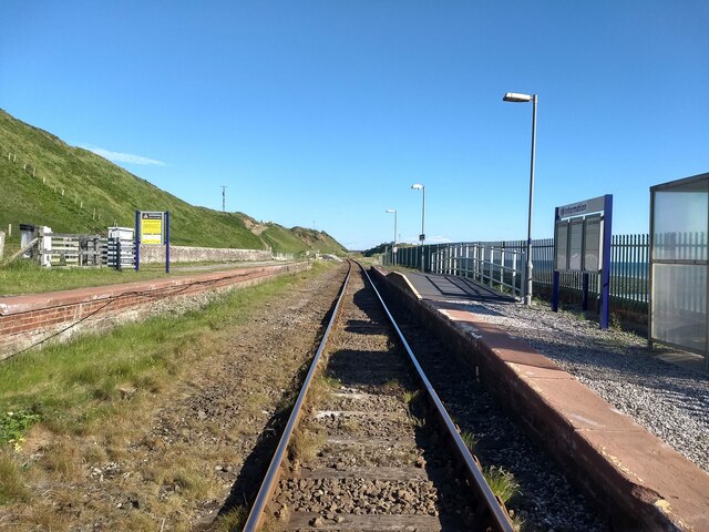
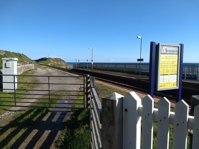
Nethertown railway station
Nethertown is a railway station on the Cumbrian Coast Line, which runs between Carlisle and Barrow-in-Furness. The station, situated 39 miles (63 km) north...
Thornhill, Cumbria
Thornhill is a village in the county of Cumbria, England, south of Whitehaven and north of Seascale, close to St. Bees, and only a few miles from the Irish...
Nearby Amenities
Located within 500m of 54.449204,-3.5387563Have you been to Gibb Tarn?
Leave your review of Gibb Tarn below (or comments, questions and feedback).