Mary Miller's Pool

Lake, Pool, Pond, Freshwater Marsh in Lanarkshire

Scotland

Mary Miller's Pool

Drain near Westside
Drain near Westside Credit: JThomas

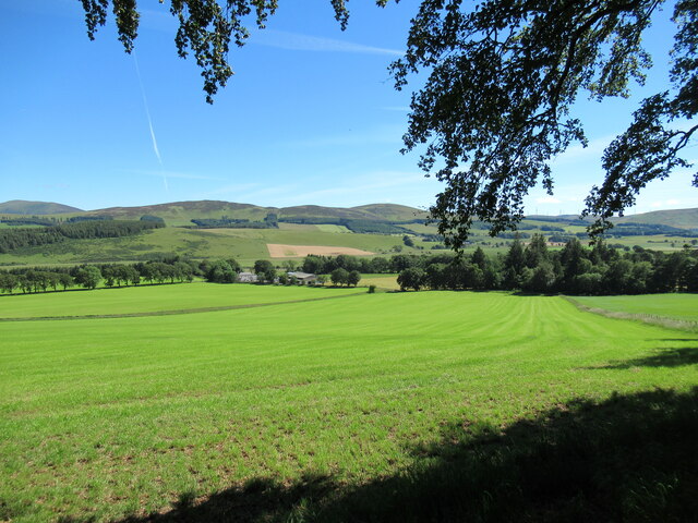
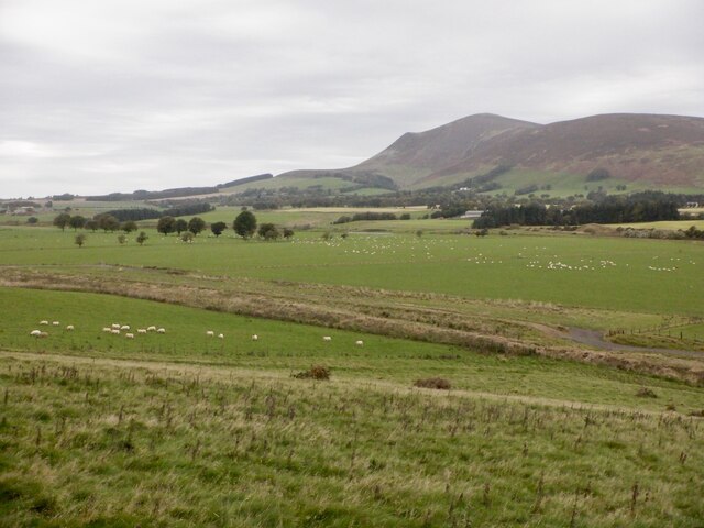
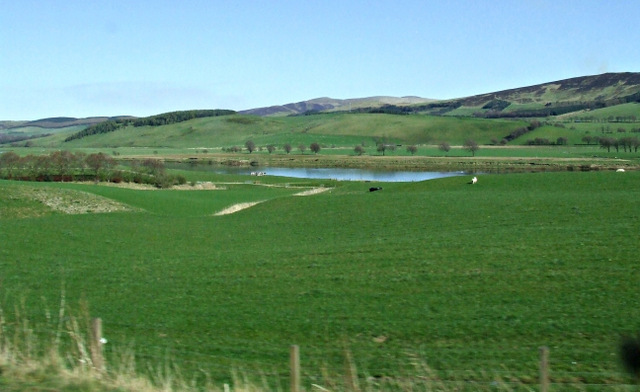
Mary Miller's Pool, located in Lanarkshire, Scotland, is a picturesque freshwater marsh that offers visitors a tranquil escape into nature. Spanning an area of approximately 10 acres, the pool is surrounded by lush greenery and provides a haven for a diverse range of wildlife.

The pool itself is a shallow body of water, with an average depth of around 3 feet. It is fed by several small streams and natural springs, ensuring a constant flow of fresh water. The water is crystal clear and teeming with an abundance of aquatic plants, creating a vibrant and colorful underwater ecosystem.

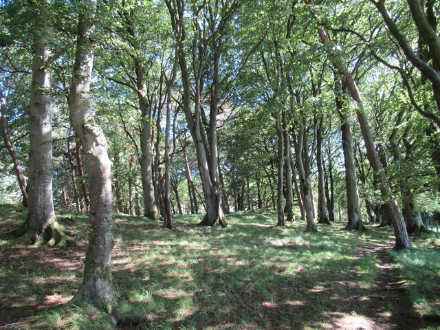
The pool's surrounding landscape is equally captivating. Tall reeds and grasses line its banks, providing a habitat for numerous bird species, including herons, kingfishers, and swans. These birds can often be spotted gracefully gliding across the water or perched on the branches of nearby trees.

Visitors to Mary Miller's Pool can enjoy a variety of activities. Fishing enthusiasts can cast their lines in search of brown trout and perch, while nature lovers can explore the area on foot, following the well-maintained walking trails that meander through the marshland. The pool is also a popular spot for birdwatching, with many rare and migratory species making occasional appearances.

Overall, Mary Miller's Pool is a hidden gem in Lanarkshire, offering a tranquil retreat for those seeking solace in nature. Its diverse ecosystem, serene atmosphere, and abundant wildlife make it a must-visit destination for outdoor enthusiasts and nature lovers alike.

If you have any feedback on the listing, please let us know in the comments section below.

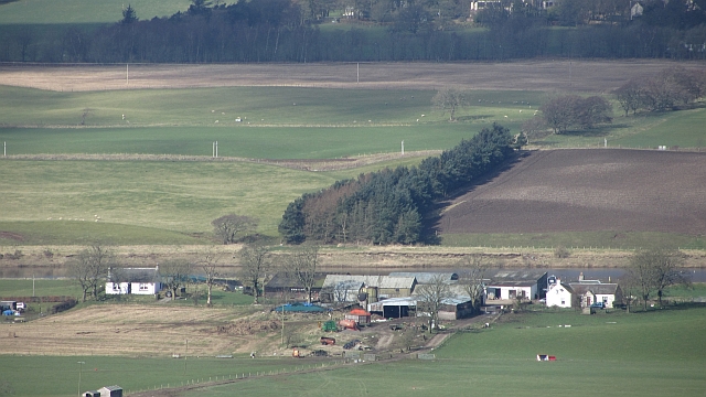
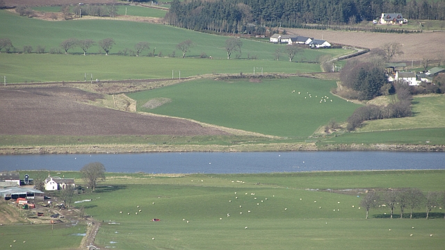
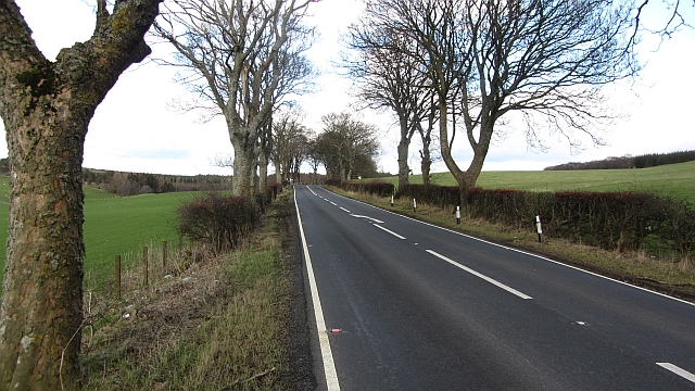
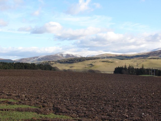
Mary Miller's Pool Images

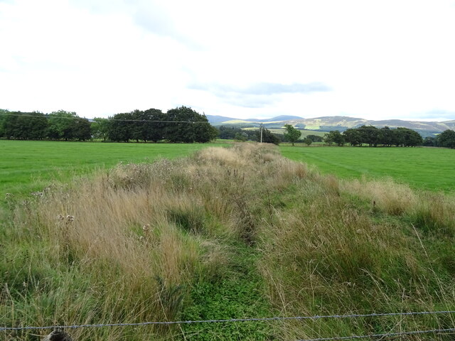
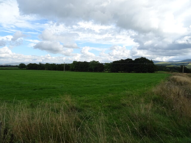
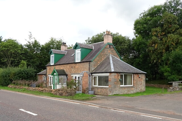
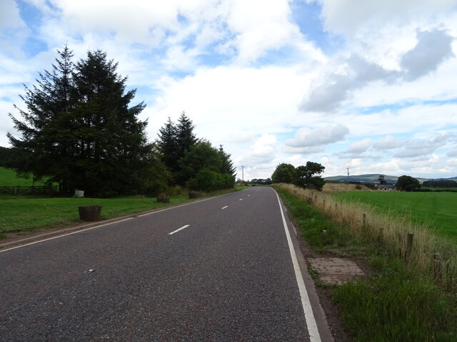
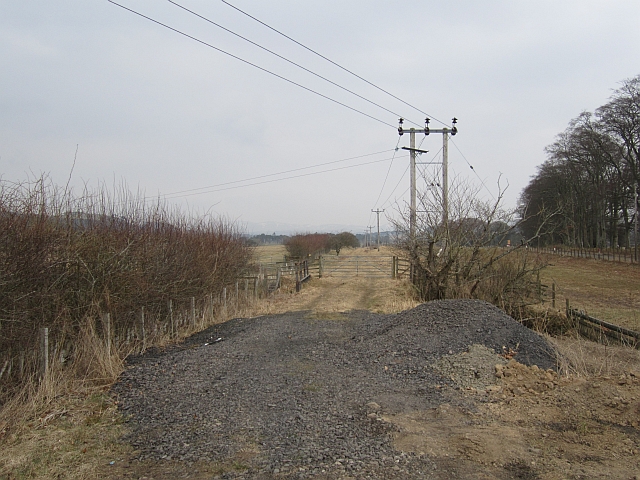
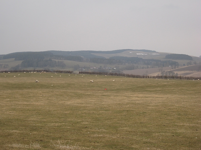
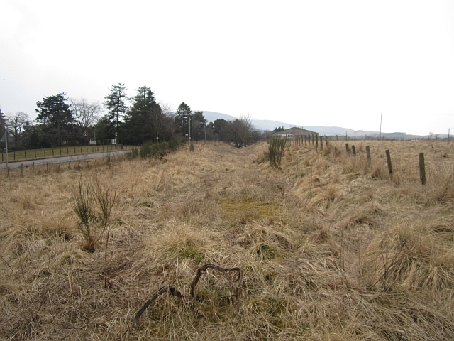
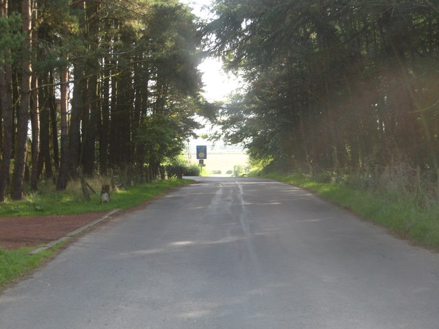
Images are sourced within 2km of 55.590319/-3.5855206 or Grid Reference NT0034. Thanks to Geograph Open Source API. All images are credited.

Drain near Westside
Drain near Westside
Grazing near Westside Off the A73.
Grazing near Westside
Off the A73.
Greengables Cottage on the A73.
Greengables
Cottage on the A73.
A73 near Greengables Towards Lanark.
A73 near Greengables
Towards Lanark.
Symington Mains Farm from Castle Hill The ground on the other side of the Clyde rises to the moorland hills of Turkey Hill and Lamington Hill.
Symington Mains Farm from Castle Hill
The ground on the other side of the Clyde rises to the moorland hills of Turkey Hill and Lamington Hill.
Sun-dappled woodland at Castle Hill A pleasant, shady place on a warm July day.

There are traces on this knoll of earthworks that might once have been a castle. More details can be found at <span class="nowrap"><a title="https://canmore.org.uk/site/47548/castle-hill" rel="nofollow ugc noopener" href="https://canmore.org.uk/site/47548/castle-hill">Link</a><img style="margin-left:2px;" alt="External link" title="External link - shift click to open in new window" src="https://s1.geograph.org.uk/img/external.png" width="10" height="10"/></span>.
Sun-dappled woodland at Castle Hill
A pleasant, shady place on a warm July day. There are traces on this knoll of earthworks that might once have been a castle. More details can be found at LinkExternal link.
Clyde Valley near Langholm Clyde flood plain under Tinto
Clyde Valley near Langholm
Clyde flood plain under Tinto
Railway bridge and road junction near Symington
Langholm A farm beside the Clyde.
Langholm
A farm beside the Clyde.
River Clyde and West Coast Main Line The river is wide here due to gravel extraction in the past - this is where definitions of river and artificial loch meet. There are plans, bitterly opposed locally, for more gravel extraction here.
River Clyde and West Coast Main Line
The river is wide here due to gravel extraction in the past - this is where definitions of river and artificial loch meet. There are plans, bitterly opposed locally, for more gravel extraction here.
A702, north of Lamington The often busy connection between Edinburgh and the A74 and M6.
A702, north of Lamington
The often busy connection between Edinburgh and the A74 and M6.
View towards the Culter Hills in winter A fairly bleak view looking across the Clyde Valley towards the Culter Hills. The snow-covered hill-tops are Chapelgill Hill and Cardon Hill.
View towards the Culter Hills in winter
A fairly bleak view looking across the Clyde Valley towards the Culter Hills. The snow-covered hill-tops are Chapelgill Hill and Cardon Hill.
Symington, Biggar and Broughton Railway The trackbed of the Caledonian Railway's branch line to Peebles from Carstairs Junction.
Symington, Biggar and Broughton Railway
The trackbed of the Caledonian Railway's branch line to Peebles from Carstairs Junction.
Grassland,  Annieston
Grassland, Annieston
Symington, Biggar and Broughton Railway View westwards along the trackbed. The railway ran to Peebles via Biggar.
Symington, Biggar and Broughton Railway
View westwards along the trackbed. The railway ran to Peebles via Biggar.
Country road passing under the railway Near Westside Farm in South Lanarkshire.
Country road passing under the railway
Near Westside Farm in South Lanarkshire.
Straight on at the junction, for Broadfield In South Lanarkshire.
Straight on at the junction, for Broadfield
In South Lanarkshire.
Farmland near Broadfield Farm The River Clyde can be seen in the centre of the photo. Viewed from a Glasgow bound train
Farmland near Broadfield Farm
The River Clyde can be seen in the centre of the photo. Viewed from a Glasgow bound train
Show me another place!

Mary Miller's Pool is located at Grid Ref: NT0034 (Lat: 55.590319, Lng: -3.5855206)

Unitary Authority: South Lanarkshire

Police Authority: Lanarkshire

What 3 Words

///torches.bunks.dolls. Near Biggar, South Lanarkshire

Related Wikis

Symington, South Lanarkshire

Symington is a small village in South Lanarkshire, Scotland, 3 miles (5 km) southwest of Biggar, 10 miles (16 km) east of Douglas and 13 miles (21 km)...

A72 road

The A72 road is a major route in Scotland connecting Hamilton in South Lanarkshire, with Galashiels in the Scottish Borders. It travels for over 97 kilometres...

Unthank, South Lanarkshire

Unthank is a small village in South Lanarkshire, Scotland. == Note == The geographic coordinates are from the Ordnance Survey. == References ==

Coulter, South Lanarkshire

Coulter or Culter (both spellings in use, pronounced "Cooter" with no "l") is a small village and civil parish in South Lanarkshire, Scotland. It lies...

Have you been to Mary Miller's Pool?

Leave your review of Mary Miller's Pool below (or comments, questions and feedback).