An Lochan Uaine
Lake, Pool, Pond, Freshwater Marsh in Inverness-shire
Scotland
An Lochan Uaine

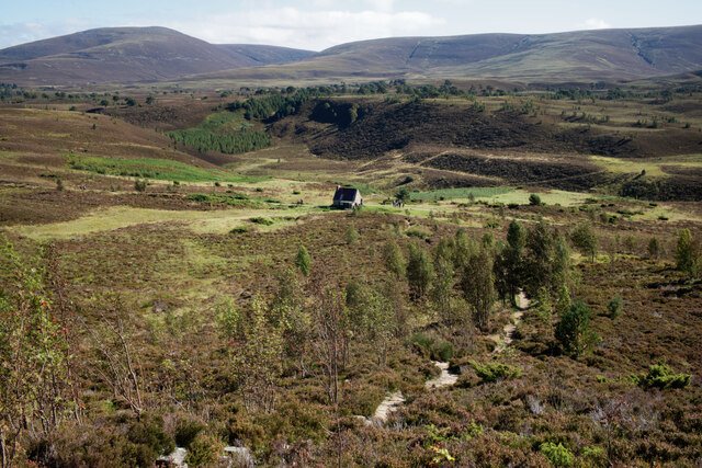
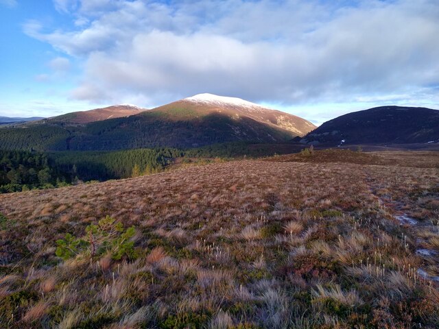
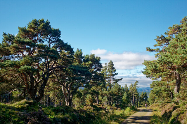
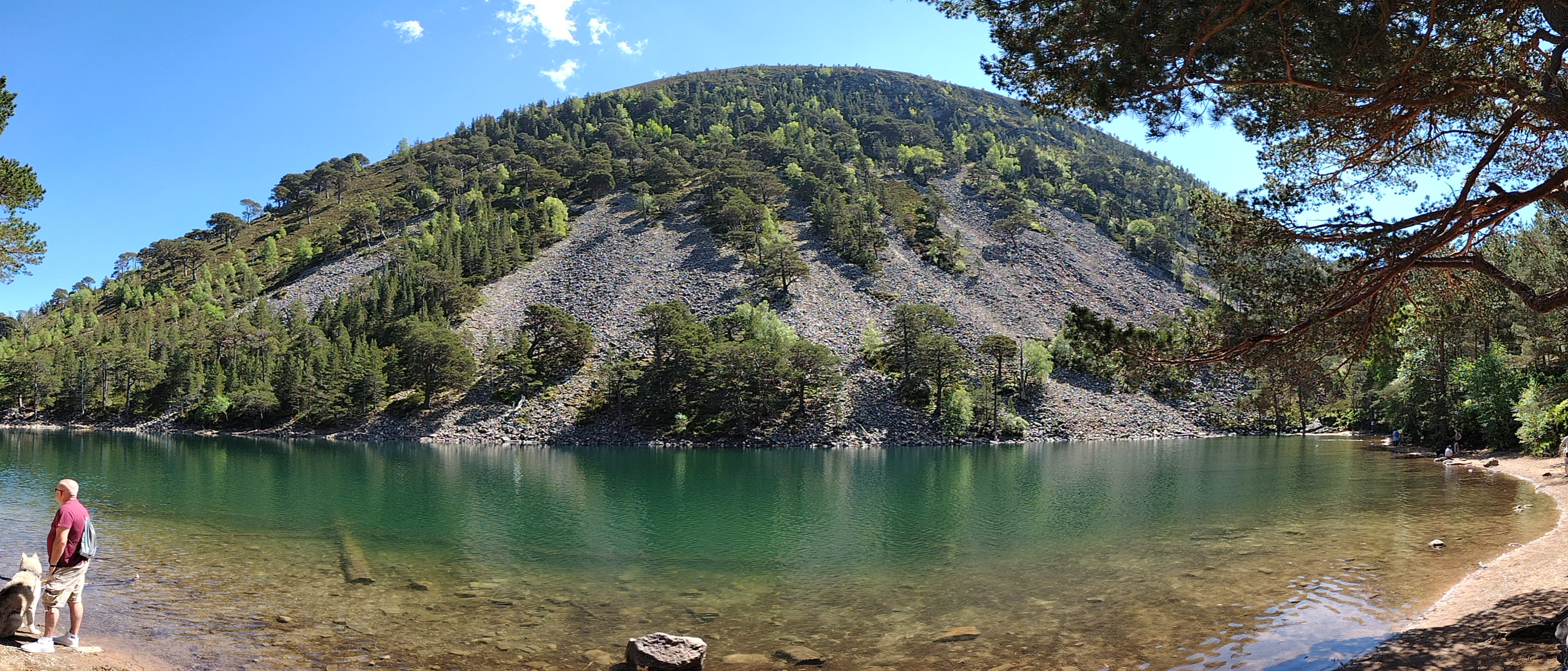
An Lochan Uaine, also known as the Green Loch, is a picturesque freshwater lake located in Inverness-shire, Scotland. Nestled amidst the enchanting Caledonian Forest, this natural gem is a popular tourist destination for nature lovers and hikers.
Measuring approximately 450 meters in length and 150 meters in width, An Lochan Uaine is a relatively small body of water. What sets it apart, however, is its stunning emerald-green color, which is caused by the presence of fine particles of rock that have been ground down by glaciers over the years.
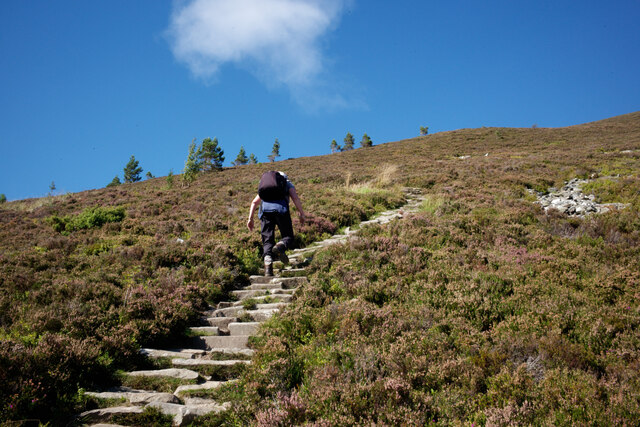
Surrounded by lush greenery and towering trees, the lake offers a tranquil and serene atmosphere. Visitors can take a leisurely stroll along the well-maintained footpath that encircles the lake, providing breathtaking views from every angle. The path is relatively easy to navigate, making it accessible for people of all fitness levels.
Aside from its beauty, An Lochan Uaine also serves as a habitat for a variety of plant and animal species. The surrounding forest is home to an array of wildlife, including red squirrels, pine martens, and various bird species. The lake itself supports a diverse range of aquatic life, including trout and other freshwater fish.
Whether you're interested in hiking, wildlife spotting, or simply enjoying the tranquility of nature, An Lochan Uaine is a must-visit destination in Inverness-shire. Its vibrant green waters and idyllic surroundings make it a truly memorable experience for all who venture to this hidden gem in the Scottish Highlands.
If you have any feedback on the listing, please let us know in the comments section below.
An Lochan Uaine Images
Images are sourced within 2km of 57.175221/-3.6541561 or Grid Reference NJ0010. Thanks to Geograph Open Source API. All images are credited.


An Lochan Uaine is located at Grid Ref: NJ0010 (Lat: 57.175221, Lng: -3.6541561)
Unitary Authority: Highland
Police Authority: Highlands and Islands
What 3 Words
///wrenching.situated.backyards. Near Aviemore, Highland
Nearby Locations
Related Wikis
An Lochan Uaine
An Lochan Uaine is a small freshwater loch in the Highland council area of Scotland. == Etymology == Lochan Uaine can be translated from Scottish Gaelic...
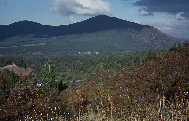
Meall a' Bhuachaille
Meall a' Bhuachaille is a mountain in the Cairngorms in Scotland. It is situated 10 km east of Aviemore, to the north of Loch Morlich and Glenmore Forest...
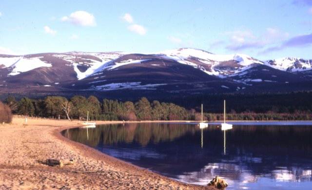
Loch Morlich
Loch Morlich (Scottish Gaelic, Loch Mhùrlaig) is a freshwater loch in the Badenoch and Strathspey area of Highland, Scotland near Aviemore. The loch is...

Glenmore Forest Park
Glenmore Forest Park is a remnant of the Caledonian Forest near Aviemore in the Badenoch and Strathspey district of Highland, Scotland. Owned and managed...

Cairngorm Mountain Railway
The Cairngorm Mountain Railway, which opened in 2001, is the highest railway in the United Kingdom. The two-kilometre long funicular ascends the northern...

Bynack More
Bynack More (Scottish Gaelic: A' Bheithneag Mhòr or Beinn Bheithneag) is a Scottish Mountain that is situated in the Cairngorms range, 16 kilometres east...

Aundorach
Aundorach (Scottish Gaelic:) is a settlement one mile south of Loch Garten in Badenoch and Strathspey, Highland, Scotland. == References ==

Cairn Gorm
Cairn Gorm (Scottish Gaelic: An Càrn Gorm) is a mountain in the Scottish Highlands. It is part of the Cairngorms range and wider Grampian Mountains. With...
Nearby Amenities
Located within 500m of 57.175221,-3.6541561Have you been to An Lochan Uaine?
Leave your review of An Lochan Uaine below (or comments, questions and feedback).