Gossops Green
Settlement in Sussex Crawley
England
Gossops Green
Gossops Green is a residential area located in the town of Crawley, West Sussex, England. Situated approximately two miles south of the town center, it forms part of the borough of Crawley and falls within the Gatwick Diamond area, renowned for its proximity to Gatwick Airport and excellent transport links.
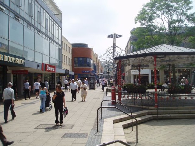
The area is characterized by a mix of housing, including semi-detached and terraced properties, as well as a number of high-rise flats. Gossops Green benefits from a range of local amenities, including a small shopping parade with convenience stores, takeaways, and a pub, providing residents with everyday necessities within walking distance.
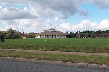
The neighborhood boasts several green spaces, offering opportunities for outdoor activities and recreation. Gossops Green Park, situated in the heart of the area, features a children's play area and open fields, ideal for picnics and dog walking. Additionally, the nearby Tilgate Park provides a larger expanse of greenery, complete with a lake, nature trails, and a popular local zoo.
Transport links in Gossops Green are excellent, with Crawley railway station just a short distance away, offering regular services to London and other major cities. The area is also well-connected by road, with easy access to the M23 motorway, making it convenient for commuters and those looking to explore the surrounding areas.
Overall, Gossops Green presents a pleasant residential area with a range of amenities and easy access to both urban and natural attractions, making it an attractive place to live within the Crawley area.
If you have any feedback on the listing, please let us know in the comments section below.
Gossops Green Images
Images are sourced within 2km of 51.110402/-0.208569 or Grid Reference TQ2536. Thanks to Geograph Open Source API. All images are credited.


Gossops Green is located at Grid Ref: TQ2536 (Lat: 51.110402, Lng: -0.208569)
Administrative County: West Sussex
District: Crawley
Police Authority: Sussex
What 3 Words
///given.charmingly.tools. Near Gossops Green, West Sussex
Nearby Locations
Related Wikis

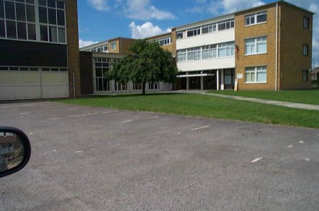
St Wilfrid's Catholic School
St Wilfrid's Catholic School is a voluntary aided comprehensive Catholic secondary school in Crawley, West Sussex, England for pupils aged 11 to 18. It...
Gossops Green
Gossops Green is one of 14 neighbourhoods within the town of Crawley in West Sussex, England. Gossops Green is located in the west of the town and is bordered...
Holy Trinity School, Crawley
The Holy Trinity Church of England Secondary School is a voluntary-aided comprehensive school in Crawley, West Sussex, England. The school has a roll of...
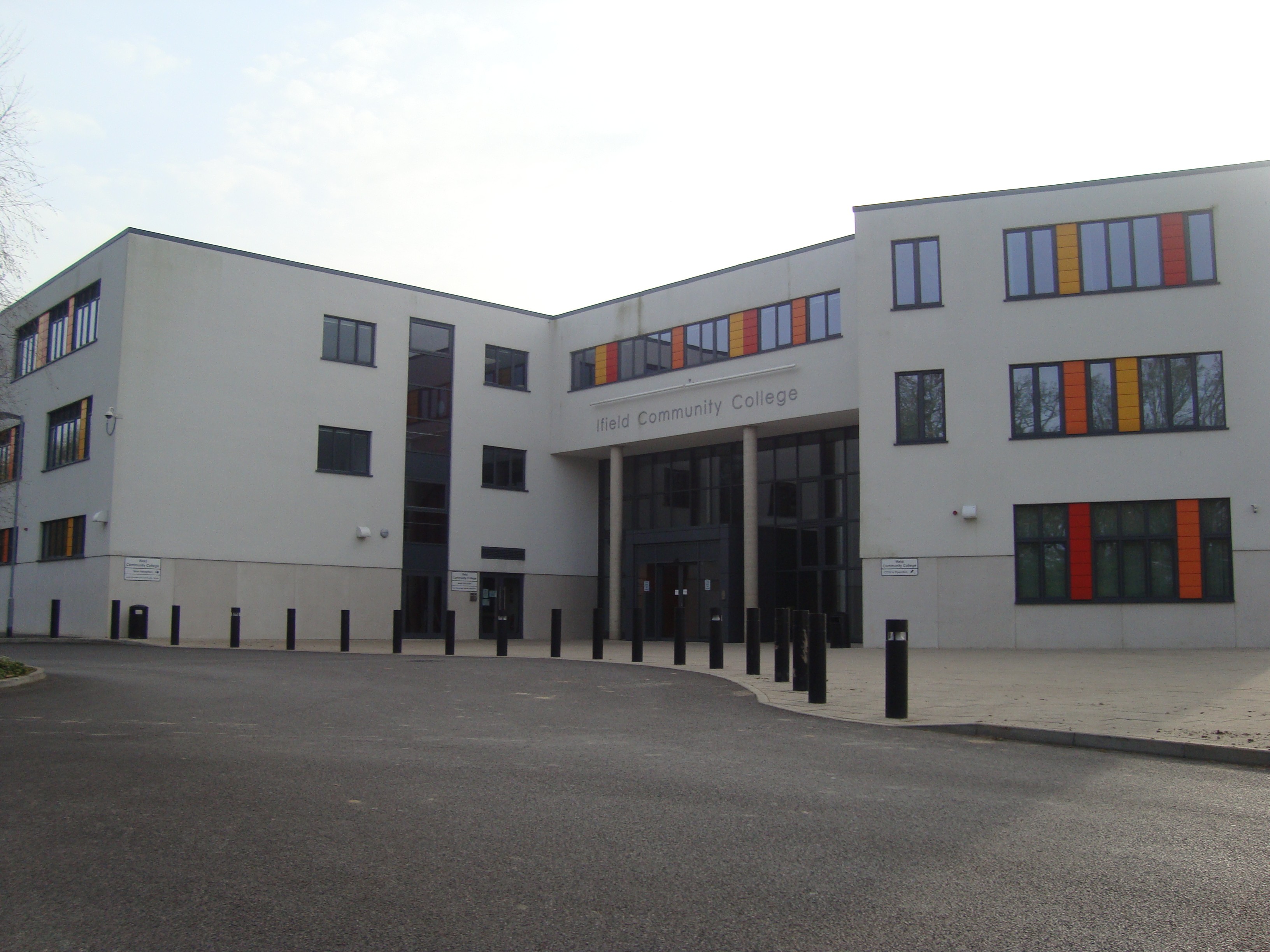
Ifield Community College
Ifield Community College (ICC) is a maintained comprehensive secondary school in Crawley, England, for pupils aged 11 to 18. == Admissions == It caters...
Nearby Amenities
Located within 500m of 51.110402,-0.208569Have you been to Gossops Green?
Leave your review of Gossops Green below (or comments, questions and feedback).