Lochcote Reservoir
Lake, Pool, Pond, Freshwater Marsh in West Lothian
Scotland
Lochcote Reservoir
The requested URL returned error: 429 Too Many Requests
If you have any feedback on the listing, please let us know in the comments section below.
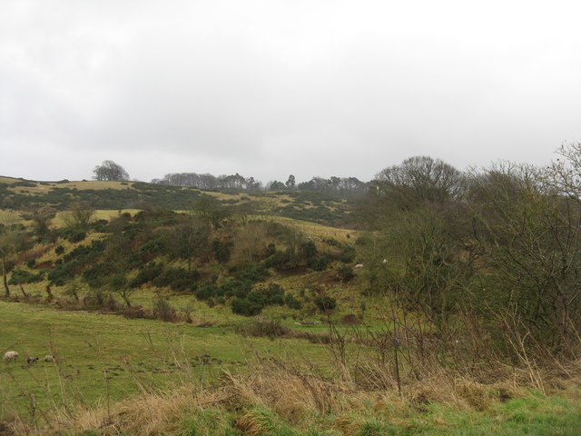
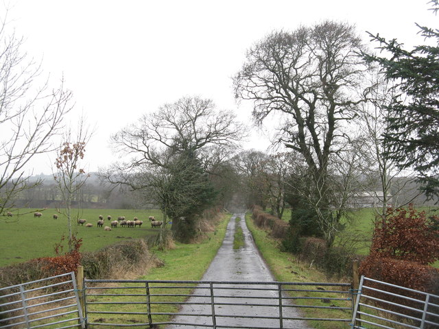
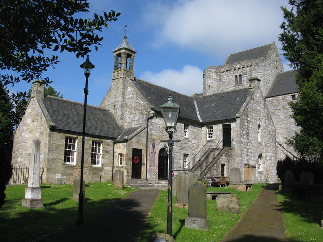
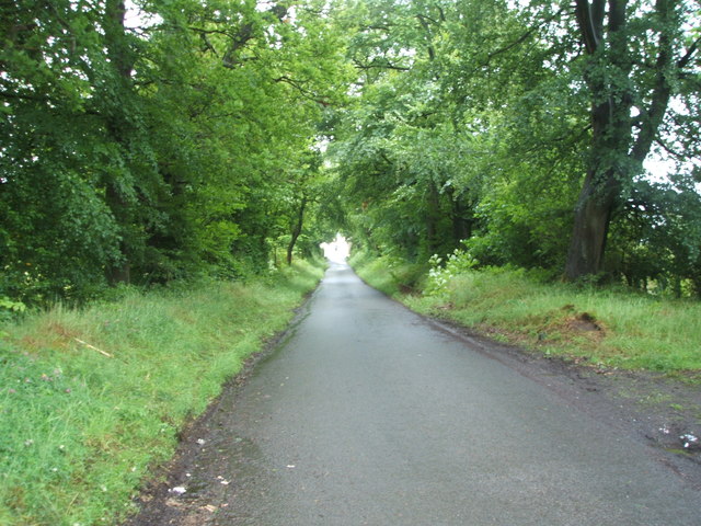
Lochcote Reservoir Images
Images are sourced within 2km of 55.945135/-3.6382314 or Grid Reference NS9773. Thanks to Geograph Open Source API. All images are credited.


Lochcote Reservoir is located at Grid Ref: NS9773 (Lat: 55.945135, Lng: -3.6382314)
Unitary Authority: West Lothian
Police Authority: The Lothians and Scottish Borders
What 3 Words
///declining.attracts.modifies. Near Linlithgow, West Lothian
Nearby Locations
Related Wikis

Cockleroi
Cockleroi or Cockleroy is a prominent hill in Scotland. It is Linlithgow's local hill. On its top there are some remains of an Iron Age's hill fort....
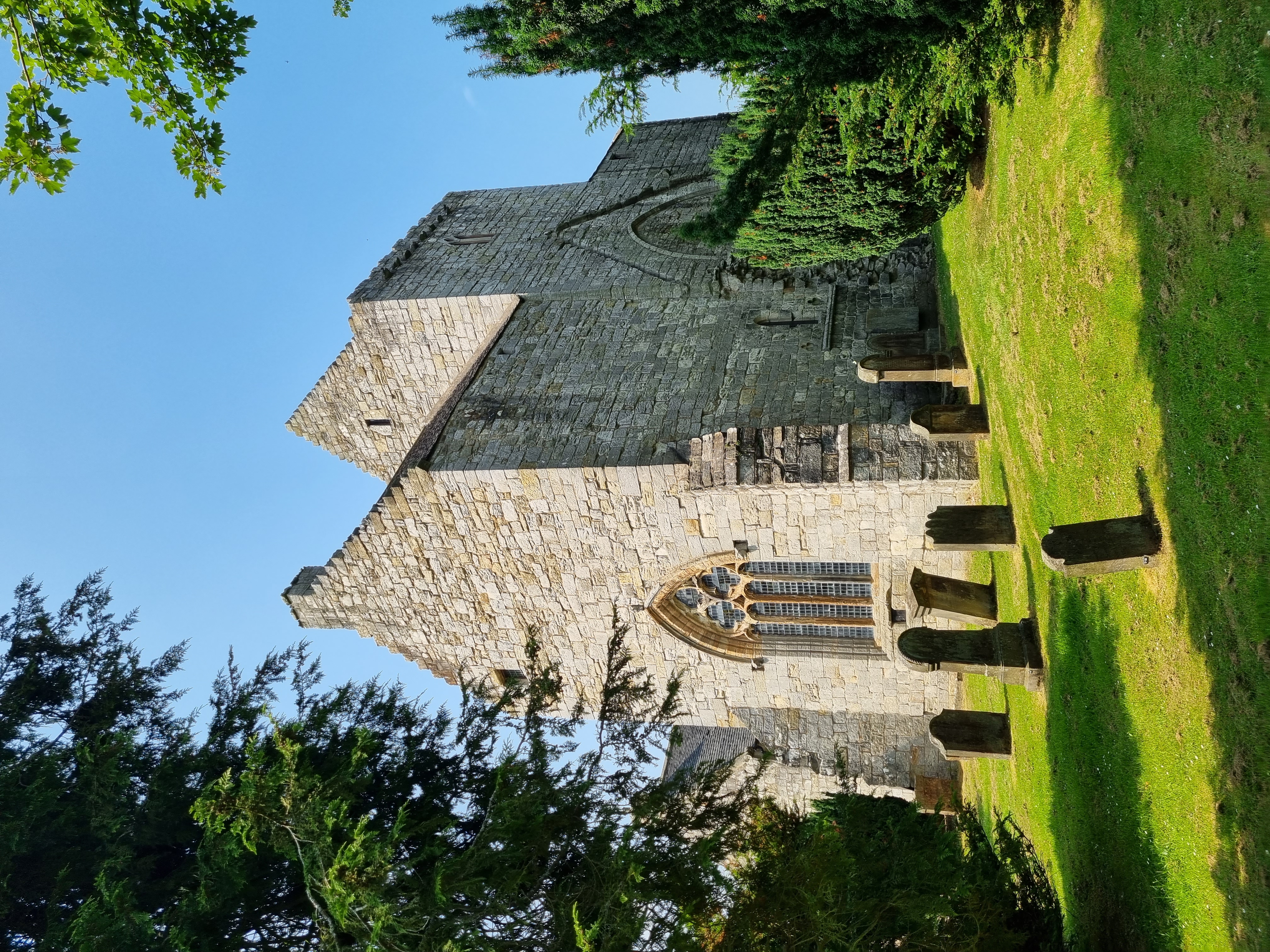
Torphichen Preceptory
Torphichen Preceptory is a church in the village of Torphichen, West Lothian, Scotland. It comprises the remains of the preceptory (headquarters) of the...
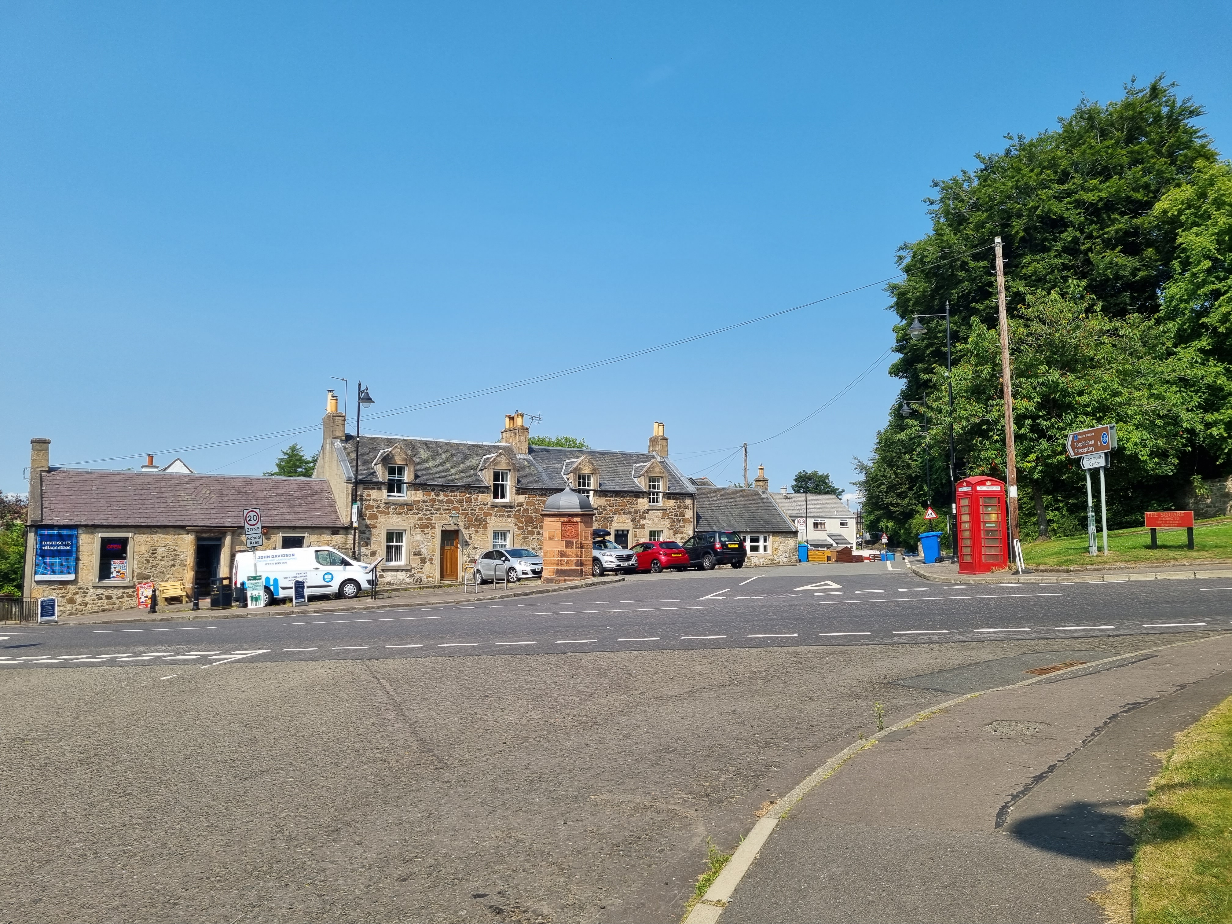
Torphichen
Torphichen ( tor-FIKH-ən) is a historic small village located north of Bathgate in West Lothian, Scotland. The village is approximately 18 miles (29 km...
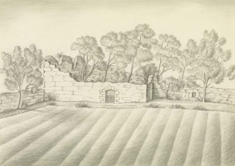
Carribber Castle
Carribber Castle, also known as Carriber Castle or Rob Gibb's Castle, is a ruined castle located near Linlithgow in West Lothian, Scotland. == Description... ==
Nearby Amenities
Located within 500m of 55.945135,-3.6382314Have you been to Lochcote Reservoir?
Leave your review of Lochcote Reservoir below (or comments, questions and feedback).