Keir Dam
Lake, Pool, Pond, Freshwater Marsh in Fife
Scotland
Keir Dam
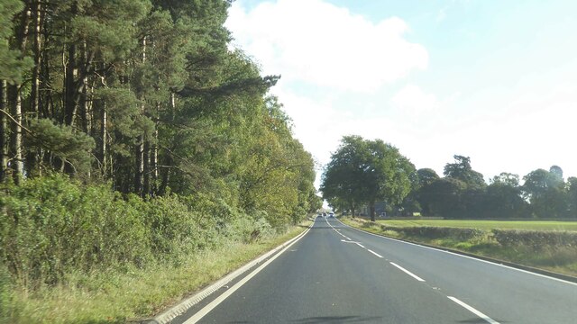
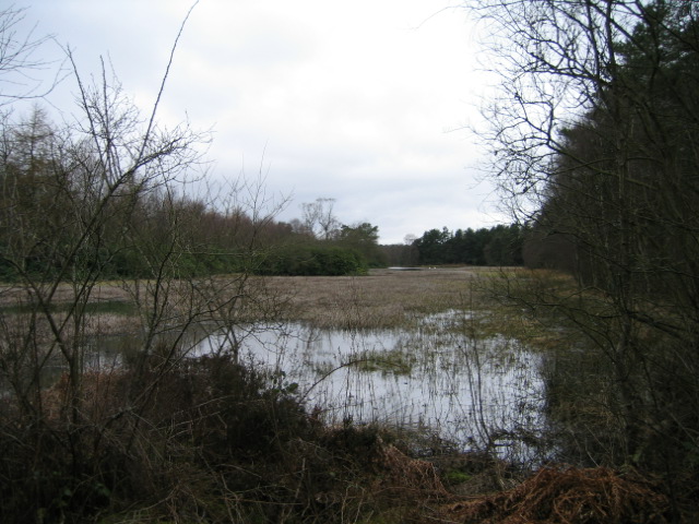
Keir Dam is a man-made freshwater reservoir located in Fife, Scotland. The dam was constructed in the 19th century to provide water for the nearby town of Cardenden and the surrounding area. The reservoir is fed by the Keir Burn, a small river that flows through the area.
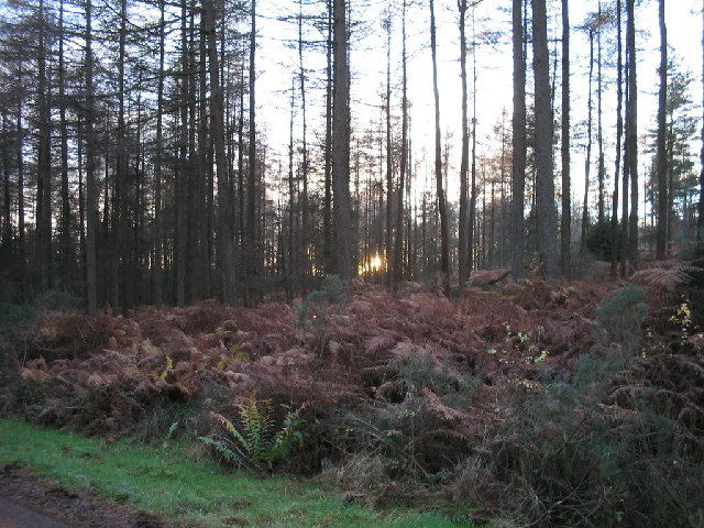
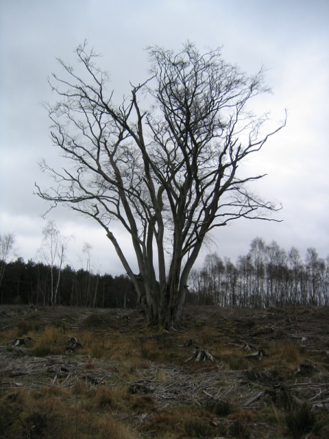
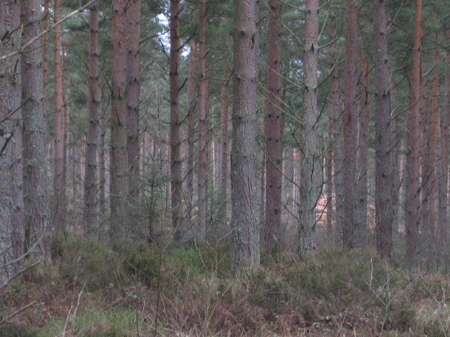
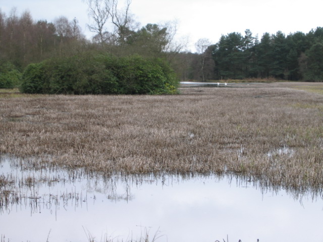
Keir Dam covers an area of approximately 20 hectares and has a maximum depth of around 10 meters. The reservoir is surrounded by lush greenery and is a popular spot for fishing, birdwatching, and other outdoor activities.
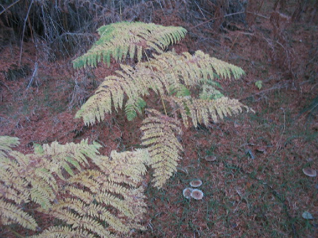
The dam is home to a variety of wildlife, including ducks, swans, and other waterfowl. The surrounding area is also home to a number of plant species, making it a diverse and vibrant ecosystem.
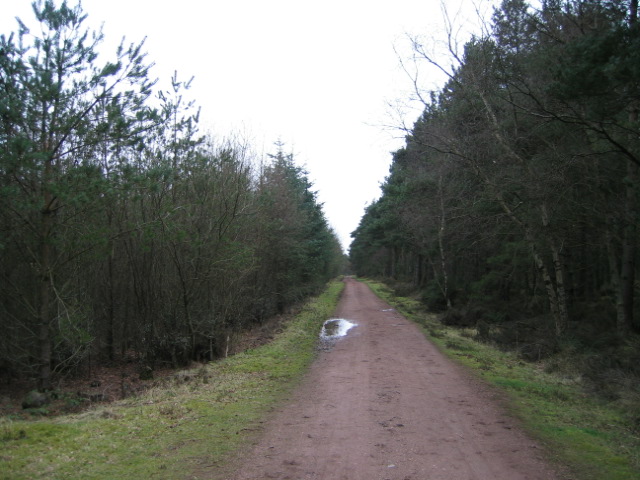
Visitors to Keir Dam can enjoy walking trails, picnic areas, and stunning views of the surrounding countryside. The dam is a peaceful and tranquil spot, perfect for those looking to escape the hustle and bustle of everyday life.
If you have any feedback on the listing, please let us know in the comments section below.
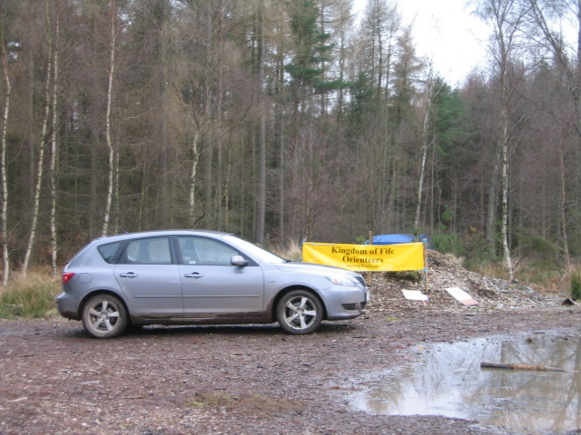
Keir Dam Images
Images are sourced within 2km of 56.070331/-3.67024 or Grid Reference NS9687. Thanks to Geograph Open Source API. All images are credited.


Keir Dam is located at Grid Ref: NS9687 (Lat: 56.070331, Lng: -3.67024)
Unitary Authority: Fife
Police Authority: Fife
What 3 Words
///urban.flow.protected. Near Kincardine, Fife
Nearby Locations
Related Wikis

Longannet coal mine
Longannet coal mine was a deep mine complex in Fife, Scotland. == History == Longannet was the remnant of three mines, established in the 1960s. Built...

Dunimarle Castle
Dunimarle Castle is located 1 km west of the centre of the village of Culross in Fife, Scotland. The name 'Dunimarle' means 'castle by the sea', although...

Longannet power station
Longannet power station was a large coal-fired power station in Fife, and the last coal-fired power station in Scotland. It was capable of co-firing biomass...

Tulliallan Castle
Tulliallan Castle is a large house in Kincardine, Fife, Scotland. It is the second structure to have the name, and is a mixture of Gothic and Italian style...
Have you been to Keir Dam?
Leave your review of Keir Dam below (or comments, questions and feedback).