Gosland Green

Settlement in Suffolk West Suffolk

England

Gosland Green

The Street, Poslingford
The Street, Poslingford Credit: Des Blenkinsopp

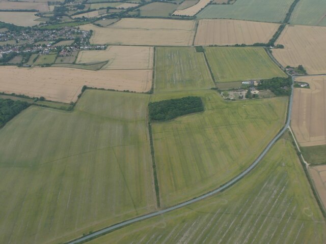
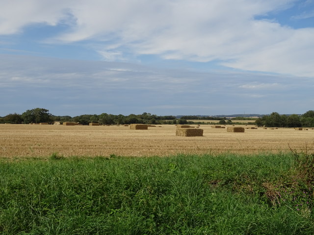
Gosland Green is a small village located in the county of Suffolk, England. Situated in the picturesque countryside, it is surrounded by rolling hills and fields, providing residents with a tranquil and idyllic setting. The village is positioned approximately 12 miles north-east of Ipswich, the county town of Suffolk, and is easily accessible via the A12 road.

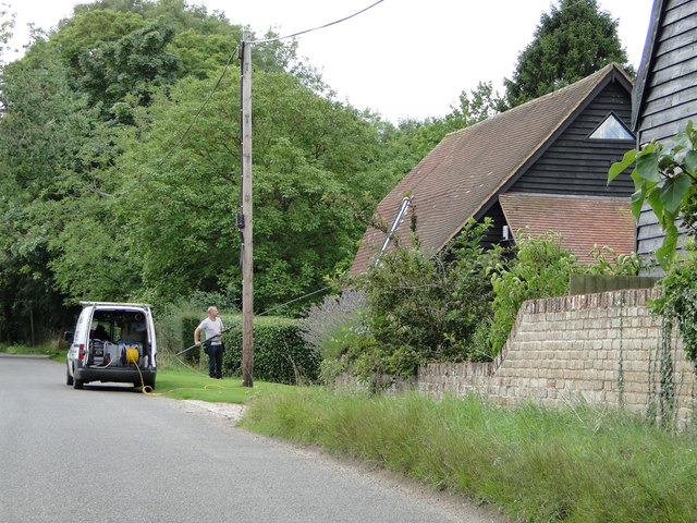
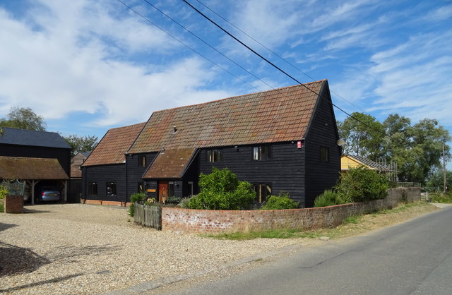
The village itself is characterized by its charming and traditional architecture, with many period cottages and houses dotting the landscape. The community is close-knit and friendly, with a strong sense of community spirit evident in the village's activities and events.

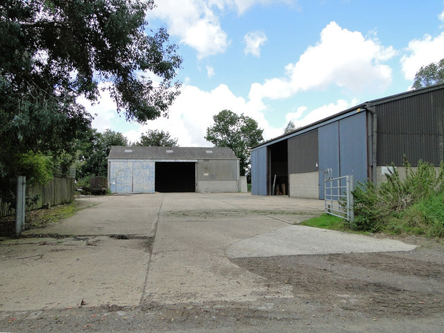
Despite its small size, Gosland Green offers basic amenities for its residents. There is a local convenience store that caters to daily needs, as well as a village hall that serves as a gathering place for various social and recreational activities. The village also boasts a primary school, providing education for the younger population.

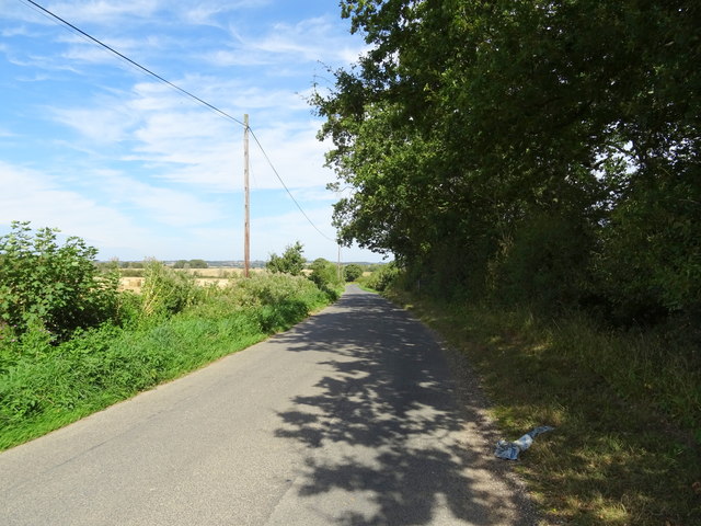
For outdoor enthusiasts, Gosland Green is an ideal location. The surrounding countryside offers ample opportunities for walking, hiking, and cycling, with numerous footpaths and trails to explore. The village is also blessed with several parks and green spaces, providing residents with peaceful spots to relax and enjoy nature.

In summary, Gosland Green is a charming village tucked away in the Suffolk countryside. With its scenic surroundings, close community, and access to basic amenities, it offers a peaceful and fulfilling lifestyle for its residents.

If you have any feedback on the listing, please let us know in the comments section below.

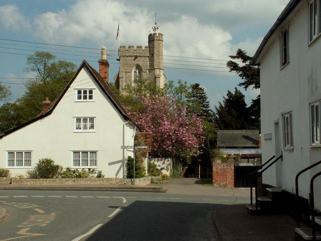
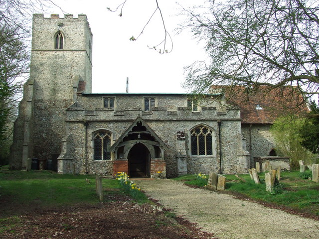
Gosland Green Images

Images are sourced within 2km of 52.120296/0.56932536 or Grid Reference TL7650. Thanks to Geograph Open Source API. All images are credited.

The Street, Poslingford
Phone Box & Parish Notices Beside the village name sign along The Street in Poslingford.
Phone Box & Parish Notices
Beside the village name sign along The Street in Poslingford.
Colourful Houses, Poslingford Having a colourful exterior on your house is quite usual in this area.
Much more so than where we live in Oxfordshire.
Colourful Houses, Poslingford
Having a colourful exterior on your house is quite usual in this area. Much more so than where we live in Oxfordshire.
Cropmarks on fields near Hundon Hall: aerial 2022
Buildings at Shadowbush Farm
Cleaning the high windows ar Shadowbush Farm Barn
Field of linseed Individual flax flowers last for less than a day, so if this field was going to flower today, there should be more blue showing at eleven in the morning. So most of the field is past the flowering stage. Yet the field edge is quite blue - why so?
Field of linseed
Individual flax flowers last for less than a day, so if this field was going to flower today, there should be more blue showing at eleven in the morning. So most of the field is past the flowering stage. Yet the field edge is quite blue - why so?
Lane towards Assington Green A lane serving local farm needs rather than a reasonable way of getting from A to B fast. It takes a very bendy course through the field system as if the fields came first.
Lane towards Assington Green
A lane serving local farm needs rather than a reasonable way of getting from A to B fast. It takes a very bendy course through the field system as if the fields came first.
Field of wheat South of Assington Green.
Field of wheat
South of Assington Green.
Timber stacks beside Shadowbush Farm The timber looks grey as if it's been lying in storage on the north side of a farm road and footpath for some time.
Timber stacks beside Shadowbush Farm
The timber looks grey as if it's been lying in storage on the north side of a farm road and footpath for some time.
Route of public footpath across field The field has been enlarged apparently, by hedge removal; it's possible that the route of the public footpath from which the image was recorded was originally alongside one of those lost boundaries.
Route of public footpath across field
The field has been enlarged apparently, by hedge removal; it's possible that the route of the public footpath from which the image was recorded was originally alongside one of those lost boundaries.
Trees at end of stubble field The field has been enlarged, apparently, by the removal of hedges. The route of a public footpath climbs towards the trees and moves to their left-hand corner. It's possible that the path followed one of the grubbed out hedges.
Trees at end of stubble field
The field has been enlarged, apparently, by the removal of hedges. The route of a public footpath climbs towards the trees and moves to their left-hand corner. It's possible that the path followed one of the grubbed out hedges.
Walkers on field headland The route of a public footpath is being followed, northwards, along a comfortably broad field headland.
Walkers on field headland
The route of a public footpath is being followed, northwards, along a comfortably broad field headland.
The B1063 Looking south along the B1063 near to Stradishall, Suffolk.
The B1063
Looking south along the B1063 near to Stradishall, Suffolk.
Footpath And Farmers Track Footpath and farmers track near to Stradishall, Suffolk.
Footpath And Farmers Track
Footpath and farmers track near to Stradishall, Suffolk.
Shadowbush Farm
Shadowbush Farm
Stubble field with bales near Shadowbush Farm Off Upper Street.
Stubble field with bales near Shadowbush Farm
Off Upper Street.
Upper Street near Shadowbush Farm
Show me another place!

Gosland Green is located at Grid Ref: TL7650 (Lat: 52.120296, Lng: 0.56932536)

Administrative County: Suffolk

District: West Suffolk

Police Authority: Suffolk

What 3 Words

///symphonic.completed.tubes. Near Clare, Suffolk

Nearby Locations

Gosland Green

Related Wikis

Chipley Priory

Chipley Priory was a small Augustine religious house, dedicated to the Blessed Virgin, located about 1 mile (2 km) north-west of the village of Poslingford...

Poslingford

Poslingford is a village and civil parish in the West Suffolk district of Suffolk in eastern England, near to a stream that feeds the into the Chilton...

Hundon

Hundon is a village and civil parish in the West Suffolk district in Suffolk, England. The village is about 3 miles (5 km) north-west of the small town...

Denston

Denston is a village and civil parish in the West Suffolk district of Suffolk in eastern England. Located around eight miles south-west of Bury St Edmunds...

Stradishall

Stradishall is a village and civil parish in West Suffolk in the English county of Suffolk. The civil parish includes a number of hamlets including Farley...

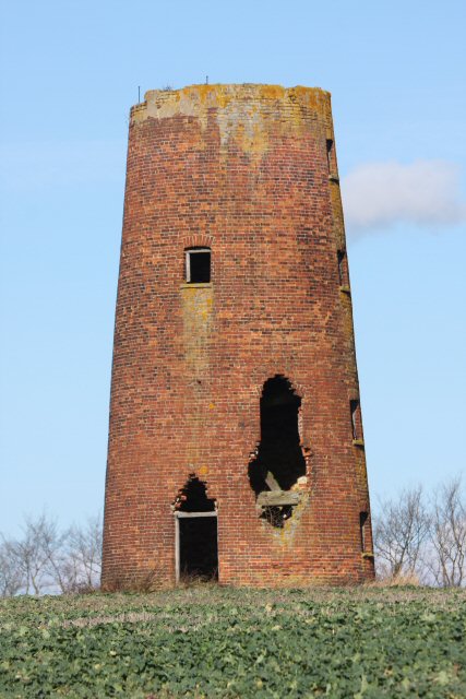
Chilton Street Mill, Clare

Chilton Street Mill is a tower mill at Clare, Suffolk, England which is derelict. == History == Chilton Street Mill was erected in 1846. It ceased work...

Clare Rural District

Clare Rural District was a rural district in the county of West Suffolk, England. It was created in 1894, comprising those parishes in the Risbridge rural...

Cavendish Woods

Cavendish Woods is a 53.5-hectare (132-acre) biological Site of Special Scientific Interest north-west of Glemsford in Suffolk.These ancient woods are...

Nearby Amenities

Located within 500m of 52.120296,0.56932536
Power: pole
Lat/Long: 52.1217608/0.5629608
Power: pole
Lat/Long: 52.1207809/0.5638835
Power: pole
Lat/Long: 52.1199394/0.5647203
Power: pole
Lat/Long: 52.1190747/0.565533
Power: pole
Lat/Long: 52.1181804/0.5662492
Power: pole
Lat/Long: 52.117301/0.5669546
Power: pole
Lat/Long: 52.1162567/0.5678236
The data included in this document is from www.openstreetmap.org. The data is made available under ODbL.

Have you been to Gosland Green?

Leave your review of Gosland Green below (or comments, questions and feedback).