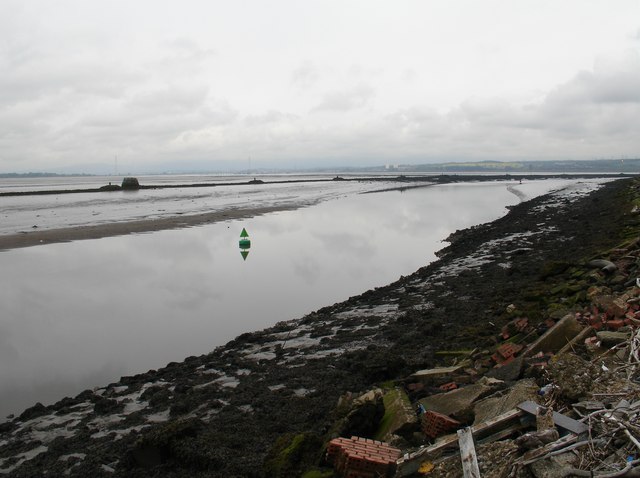
Eastern Channel
Lake, Pool, Pond, Freshwater Marsh in Stirlingshire
Scotland
Eastern Channel

The requested URL returned error: 429 Too Many Requests
If you have any feedback on the listing, please let us know in the comments section below.
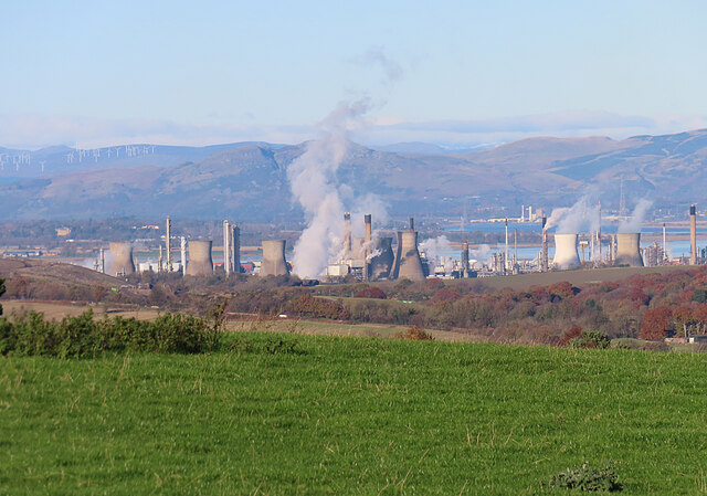
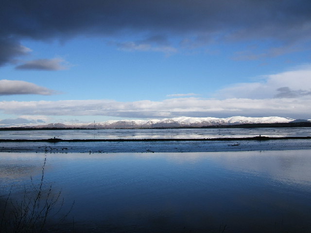
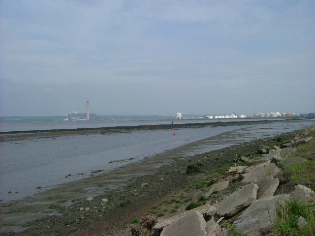
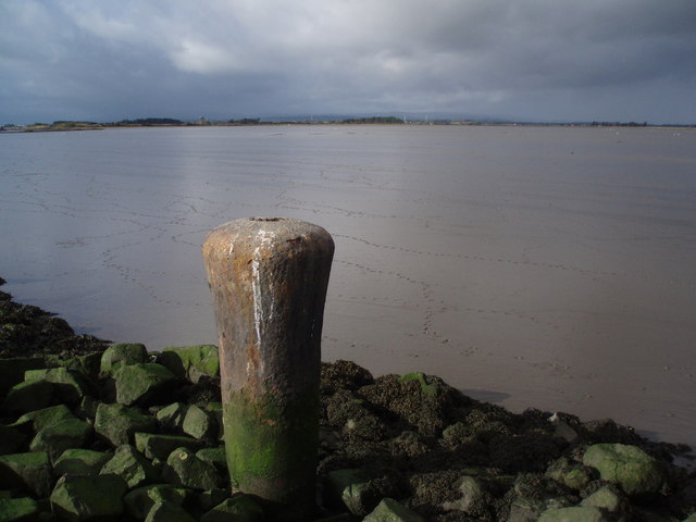
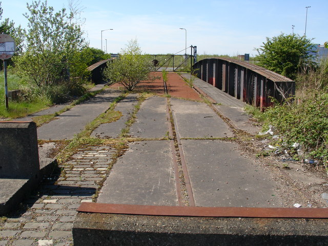
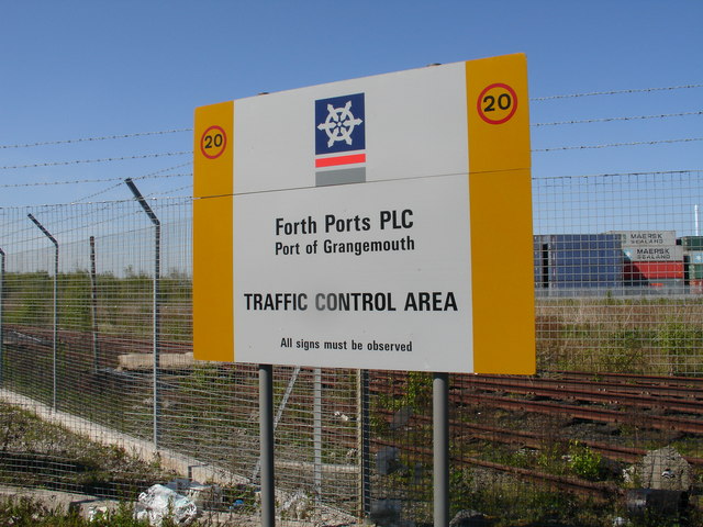
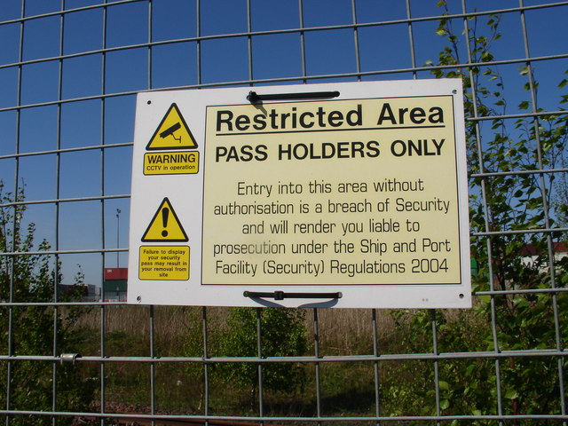
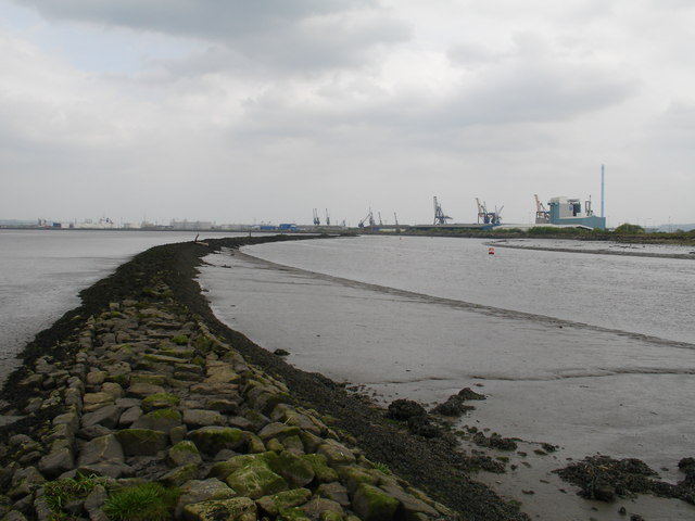
Eastern Channel Images
Images are sourced within 2km of 56.032238/-3.6920903 or Grid Reference NS9483. Thanks to Geograph Open Source API. All images are credited.


Eastern Channel is located at Grid Ref: NS9483 (Lat: 56.032238, Lng: -3.6920903)
Unitary Authority: Falkirk
Police Authority: Forth Valley
What 3 Words
///hedgehog.lamplight.intruded. Near Grangemouth, Falkirk
Nearby Locations
Related Wikis

RAF Grangemouth
Royal Air Force Grangemouth or more simply RAF Grangemouth is a former Royal Air Force station located 3 mi (4.8 km) north east of Falkirk, Stirlingshire...
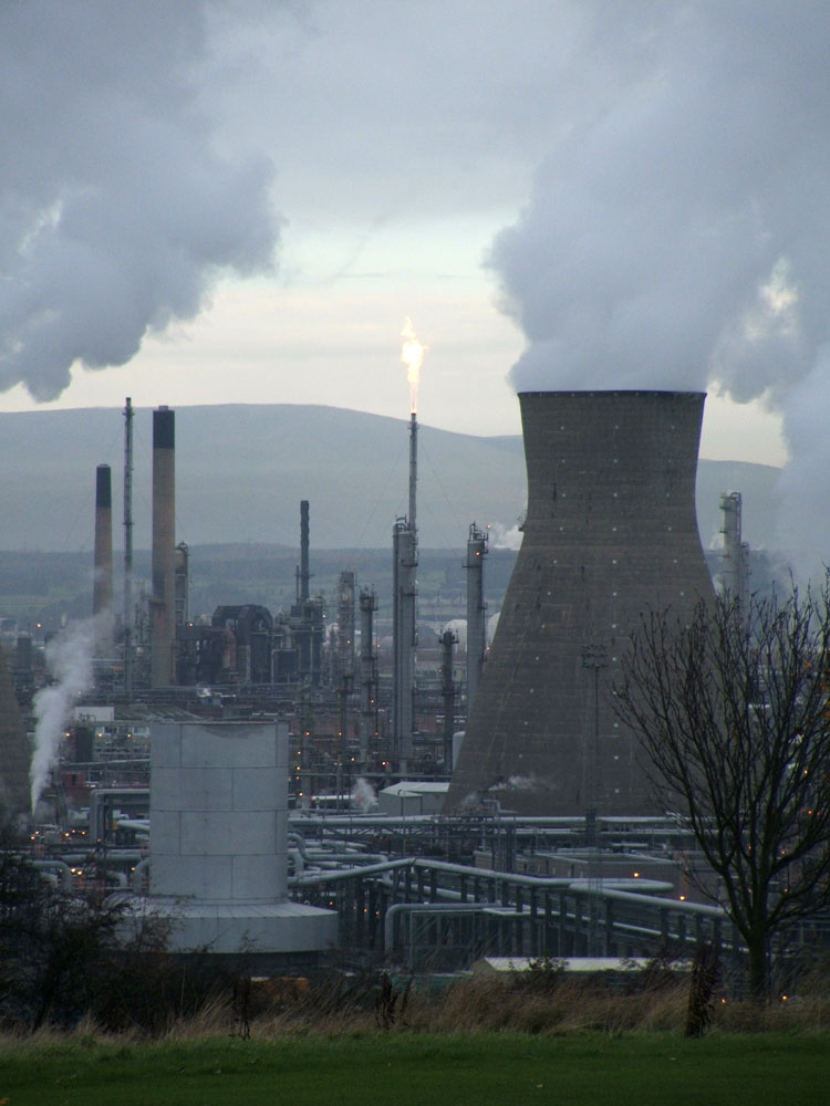
Grangemouth Refinery
Grangemouth Refinery is an oil refinery complex located on the Firth of Forth in Grangemouth, Scotland, currently operated by Petroineos. It is the only...

River Carron, Forth
The Carron (Gaelic: Carrann) is a river in central Scotland, rising in the Campsie Fells and flowing along Strathcarron into the Firth of Forth. It has...

Longannet power station
Longannet power station was a large coal-fired power station in Fife, and the last coal-fired power station in Scotland. It was capable of co-firing biomass...
Nearby Amenities
Located within 500m of 56.032238,-3.6920903Have you been to Eastern Channel?
Leave your review of Eastern Channel below (or comments, questions and feedback).