Loch Dubh
Lake, Pool, Pond, Freshwater Marsh in Nairnshire
Scotland
Loch Dubh
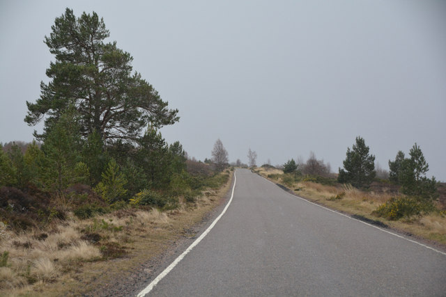
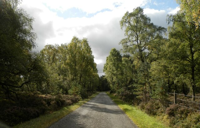
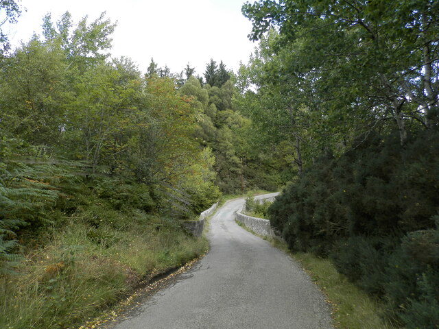
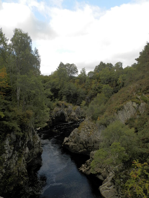
Loch Dubh, located in the picturesque region of Nairnshire, is a stunning freshwater body that captivates visitors with its serene beauty. Nestled amidst rolling hills and verdant landscapes, this enchanting lake offers a tranquil haven for both wildlife and nature enthusiasts alike.
Stretching across approximately 2 hectares, Loch Dubh boasts crystal-clear waters that reflect the surrounding natural wonders. The lake's depth varies, with the deepest point reaching around 10 meters. It is fed by several small streams that trickle down from the surrounding hills, ensuring a constant flow of fresh, clean water.
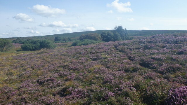
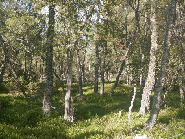
The shores of Loch Dubh are adorned with lush vegetation, showcasing an array of native plant species. The vibrant colors of water lilies and reed beds provide a picturesque backdrop for the abundant wildlife that calls this place home. Visitors may spot a myriad of bird species, including herons, swans, and ducks, gracefully gliding across the water's surface. Otters also frequent the lake, adding to the charm and intrigue of Loch Dubh.
This freshwater marsh serves as a crucial habitat for various aquatic organisms, fostering a delicate ecosystem. The nutrient-rich waters support a diverse range of fish species, such as brown trout and pike, providing ample opportunities for anglers to test their skills.
Loch Dubh is a haven for those seeking solace in nature. Its tranquil ambiance, combined with its rich biodiversity, makes it an ideal destination for fishing, birdwatching, and leisurely walks along the shoreline. Whether exploring its depths or admiring its beauty from afar, Loch Dubh is a true gem in the heart of Nairnshire.
If you have any feedback on the listing, please let us know in the comments section below.
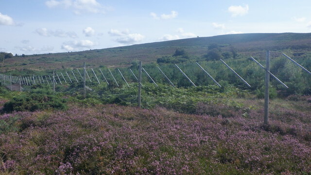
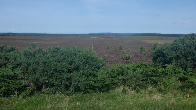
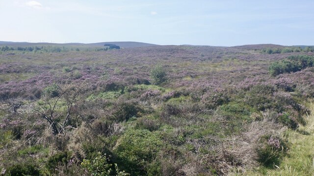
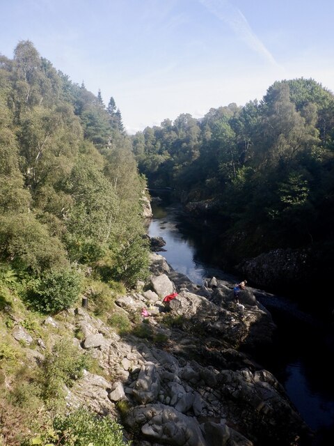
Loch Dubh Images
Images are sourced within 2km of 57.444279/-3.7637823 or Grid Reference NH9440. Thanks to Geograph Open Source API. All images are credited.


Loch Dubh is located at Grid Ref: NH9440 (Lat: 57.444279, Lng: -3.7637823)
Unitary Authority: Highland
Police Authority: Highlands and Islands
What 3 Words
///rainwater.voice.kindness. Near Grantown-on-Spey, Highland
Nearby Locations
Related Wikis

Dunearn
Dunearn is a hill fort located 15 kilometres (9.3 mi) south south east of Nairn in Highland, Scotland. It is situated on a steep-sided hill called Doune...

Ardclach
Ardclach (Gaelic: Àird Chlach) is a small crofting hamlet, close to Glenferness in the old county of Nairn, Scotland, within the Scottish council area...

Ferness
Ferness (Scottish Gaelic: Feàrnais) is a settlement and rural area in Strathdearn, in the council area of Highland.The settlement is situated in a forested...
Ardclach Bell Tower
Ardclach Bell Tower is an historic structure in Ardclach, Scottish Highlands. Dating to at least 1655, it is now a Category A listed building. It is believed...

Lochindorb
Lochindorb (from the Scottish Gaelic: Loch nan Doirb meaning "loch of the minnows") is a freshwater loch north of Grantown on Spey in the Highland council...

Dorback Burn, Findhorn
The Dorback Burn (Scottish Gaelic: Dorbag / Uisge Dhorbaig) is a right-bank tributary of the River Findhorn in northeast Scotland. It emerges from the...

Dava railway station
Dava railway station was opened in 1864, on the Inverness and Perth Junction Railway, one year after the route was opened. == Station layout == The station...

County of Nairn
The County of Nairn (also called Nairnshire) (Scottish Gaelic: Siorrachd Inbhir Narann) is a historic county, registration county and lieutenancy area...
Nearby Amenities
Located within 500m of 57.444279,-3.7637823Have you been to Loch Dubh?
Leave your review of Loch Dubh below (or comments, questions and feedback).