Greyrigg
Lake, Pool, Pond, Freshwater Marsh in Stirlingshire
Scotland
Greyrigg
The requested URL returned error: 429 Too Many Requests
If you have any feedback on the listing, please let us know in the comments section below.
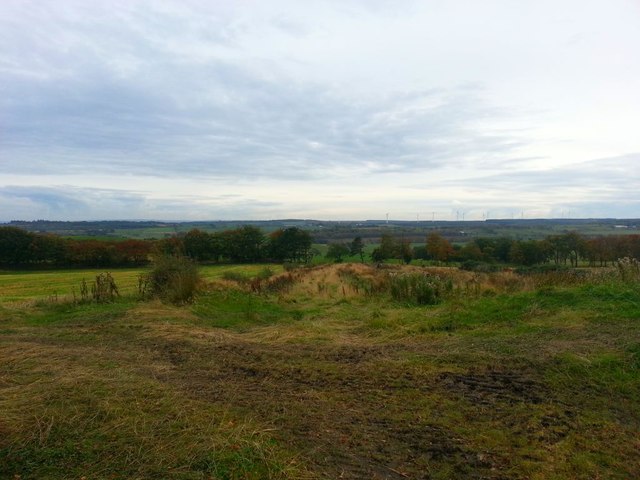
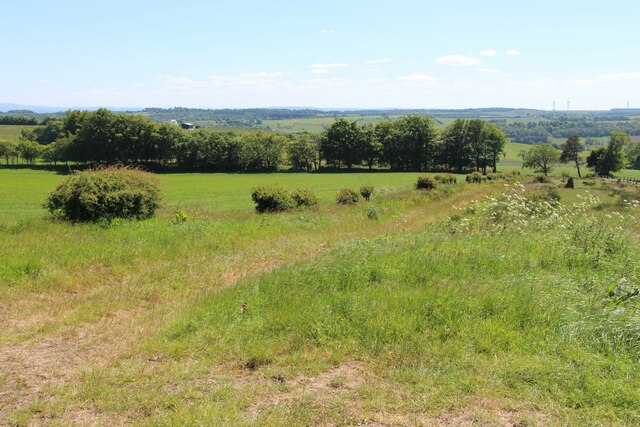
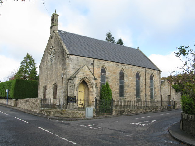
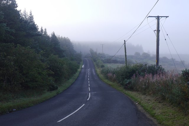
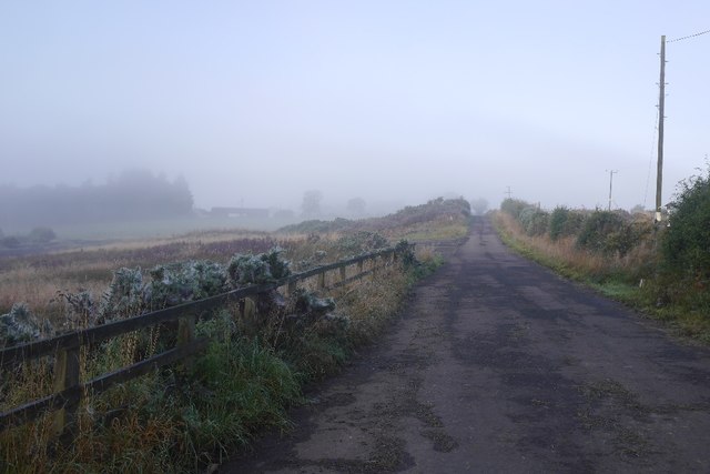
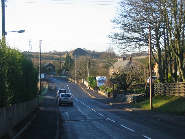
Greyrigg Images
Images are sourced within 2km of 55.952655/-3.7500877 or Grid Reference NS9074. Thanks to Geograph Open Source API. All images are credited.


Greyrigg is located at Grid Ref: NS9074 (Lat: 55.952655, Lng: -3.7500877)
Unitary Authority: Falkirk
Police Authority: Forth Valley
What 3 Words
///deck.split.clipboard. Near Shieldhill, Falkirk
Nearby Locations
Related Wikis

California, Falkirk
California (Scottish Gaelic: Calafòrnia) is a former pit village in the Falkirk council area of Scotland. It lies between Shieldhill and Avonbridge on...
Standburn
Standburn is a small village which lies within the Falkirk council area in central Scotland. It is located 1.3 miles (2.1 km) south-west of Maddiston,...

Avonbridge railway station
Avonbridge railway station was a station on the Slamannan Railway. The line connected mines and villages in the Central Scotland. == History == Opened...
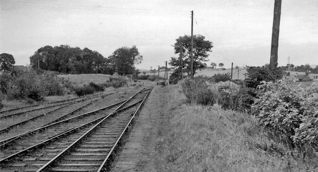
Blackston Junction railway station
Blackston Junction railway station served the area of Blackston, Falkirk, Scotland, from 1863 to 1963 on the Slamannan Railway. == History == The station...
Nearby Amenities
Located within 500m of 55.952655,-3.7500877Have you been to Greyrigg?
Leave your review of Greyrigg below (or comments, questions and feedback).